Tel Azekah, Britannia Park – Visitors Guide
Tel Azekah by Bet Shemesh was an ancient town. It is identified as the biblical Azekah and mentioned in the story of David and Goliath.
Table of Contents
Map
Tel Azekah is located on a hill in the northern region of Britannia Park, which is near the city of Bet Shemesh. And the easiest way to reach it is by entering its name into Waze.
Directions for drivers: Link to Waze and Link to Google Maps
Directions for public transport: Link to Moovit
Interactive map of the area:
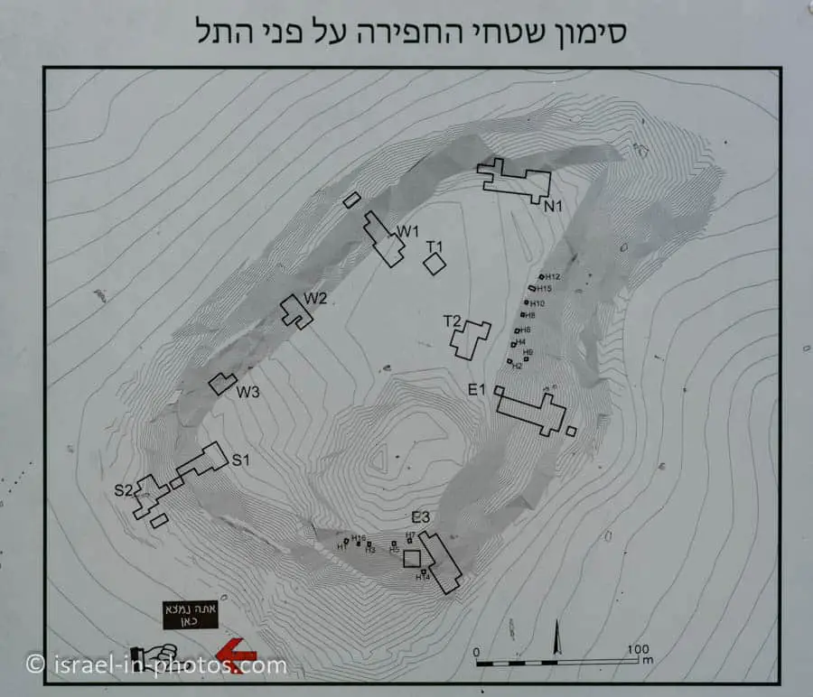
And here is a map of the Tel:
On the map of the Tel, you can see the scale, the locations, and the names of archeological excavations.
Notes:
- For more information about Tel, see What Does Tel Mean?
- You can find a map of Britannia Park on Wells and Pits Trail.
Parking
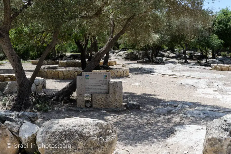
There are many free parking spaces in Britannia Park. Moreover, near the entrance, you can find the Tel Azekah recreational area beside the parking. Further to the south, there are chemical restrooms.
Opening Hours
The KKL website does not list opening hours. But since there is artificial light, visit only during daylight.
Note: I visited Britannia Park many times, including on weekends and holidays, and it was always open.
Trails
There are many trails in Britannia Park. Wells and Pits Trail is one of the popular tracks. However, this section will only look at the short path to Tel Azekah.
Note: you can see other trails and points of interest on the interactive map above.
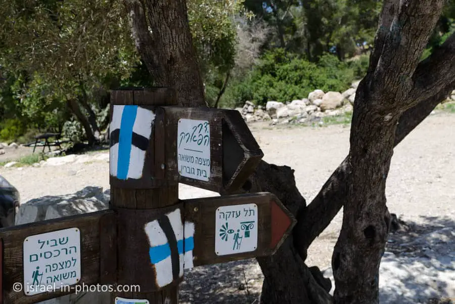
Here is an interactive map from israelhiking.osm.org.il where the hiking trail is marked:
Here are the details of the marked trails:
| # | Name | Color of the Trail on the Map above | Description | Distance (km) | Total climb and descent (meters) | Notes |
|---|---|---|---|---|---|---|
| 1 | Loop trail | Blue | This trail starts at the parking, goes around the Tel, and returns to the same place. | 1 | 56 | There are steps on this trail. Thus not suitable for baby carriages. |
Entrance Fee
Free.
Basic Info
Azekah was an ancient town in the Shfela guarding the upper reaches of the Valley of Elah, about 26 km northwest of Hebron.
The current tell by that name, also known as Tel Azeka or Tell Zakariya, has been identified with the biblical Azekah, dating back to the Canaanite period. Today, the site lies on the purlieu of Britannia Park.
According to Epiphanius of Salamis, the name meant “white” in Hebrew. The tell is pear-shaped, with the tip pointing northward. Due to its location in the Elah Valley, it functioned as one of the main Judahite border cities, sitting on the boundary between the lower and higher Shfela. Although listed in Joshua 15:35 as being a city in the plain, it is partly in the hill country, partly in the plain.
Source: Wikipedia
The origin of the name Azekah
We learned about the origin of the name Azkah from Yehuda Ziv, a linguist and scholar of Yediot Haaretz. Azkata in Aramaic is a ring (similar to the word handcuffs). Hence Isaiah’s words in the parable of his vineyard (chapter 5): “And he will shake him and stone him” – he dug around the stubble to uproot it. And how does this relate to our case? Well, when it leaves the Elah Valley, the Elah River turns north, goes around Tel Azkah on its three sides, and only after bypassing the hill does it return and turn west, on its way to the sea. Almost full ring by Nahal Elah, clearly visible from the top of the hill, is what gave the place its name!
Source: KKL
The Short Trail
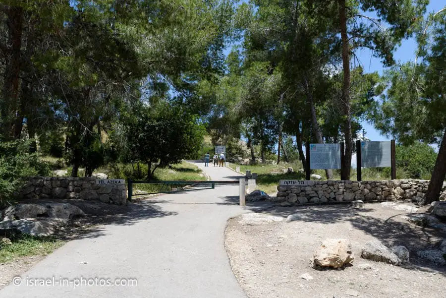
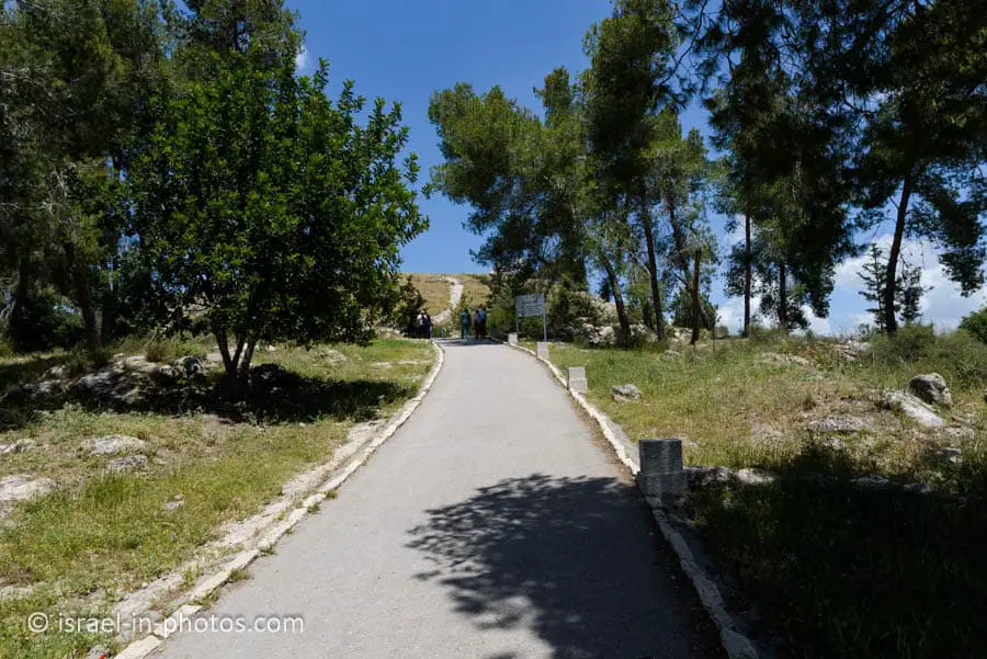
From the parking lot, you will see a paved road that leads to the top of the Tel. We will follow it.
Here are several photos:
Ancient Azeka, an important fortified city in the geographical jurisdiction of the Tribe of Judah, dominated one of the routes From the lowlands to the Judean Mountains. It is mentioned in the scriptures about Joshua’s wars against the five Amorite kings and the war between Israel and the Philistines, in which David slew Goliath: “Now the Plishtim gathered together their camps to battle and were gathered together at Sokho, which belongs to Yehuda, and pitched between Sokho and Azeka in Efes-dammim.” (I Samuel 17:1).
Azeka is one of the cities fortified by Jeroboam, king of northern Israel. It is also referred to in an Assyrian clay tablet recounting the city’s conquest by Sennacherib and, later, in Jeremiah’s description of the trail of destruction left by the Babylonian king, Nebuchadnezzar. Upon the Jewish return to Zion from Babylonian exile, several families from the Tribe of Judah resettled at Azeka, with settlement there continuing through the Roman-Byzantine period.
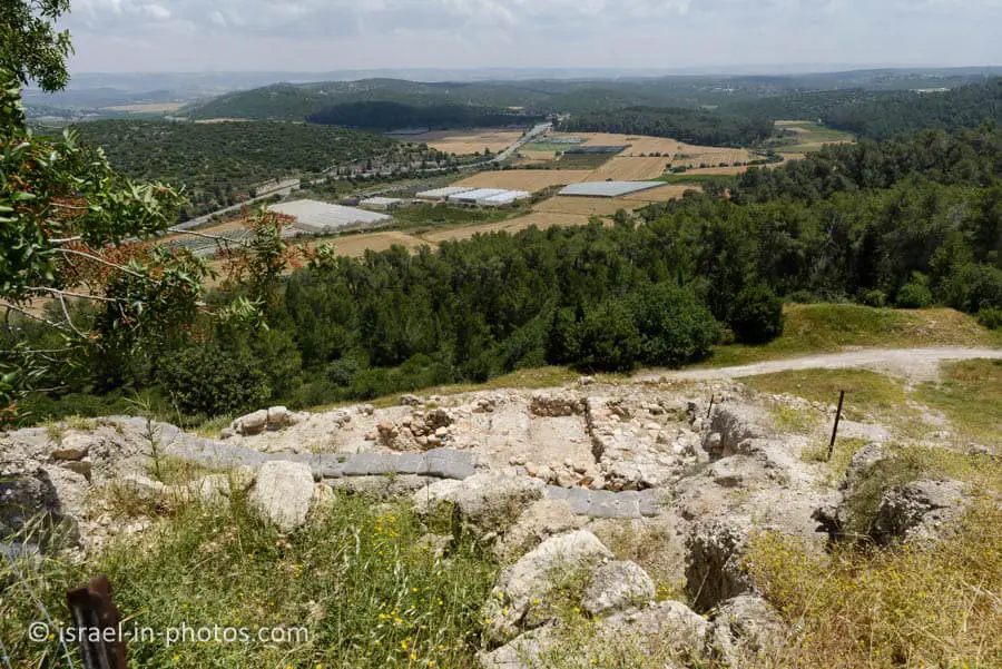
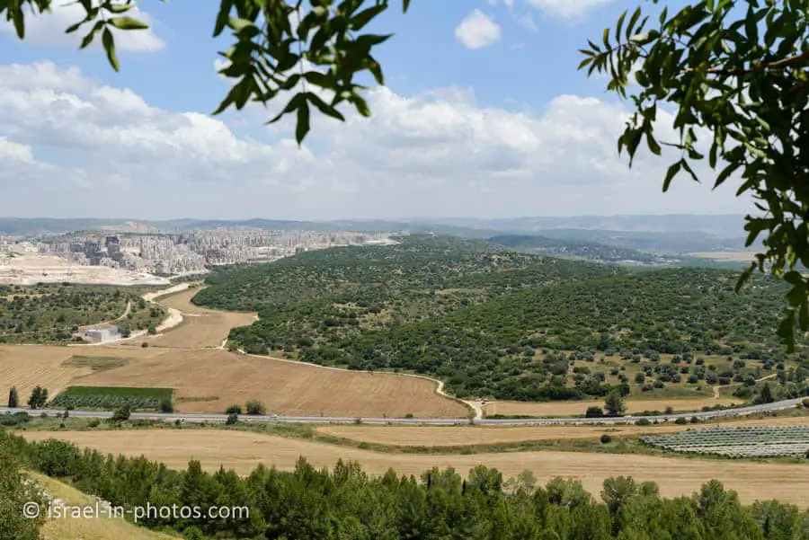
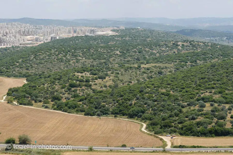
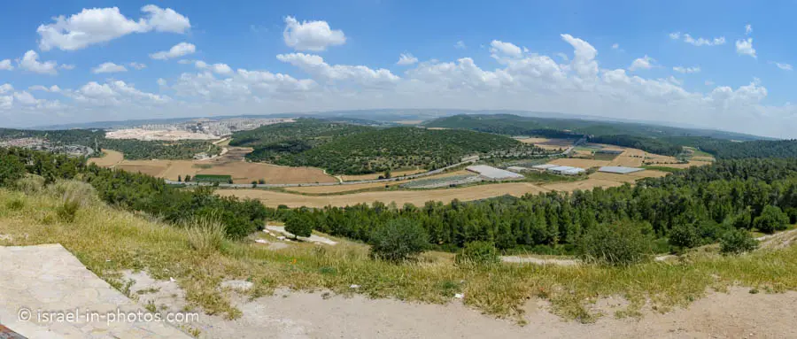
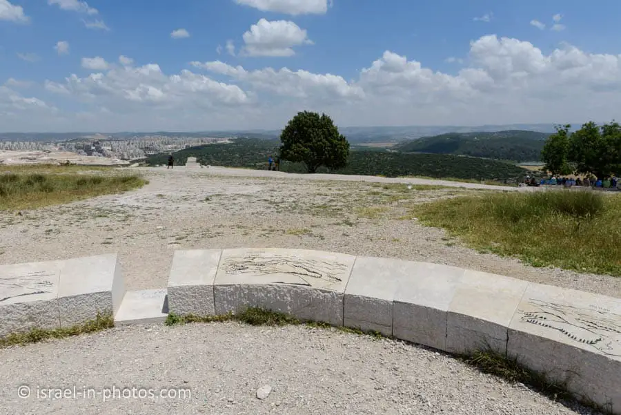
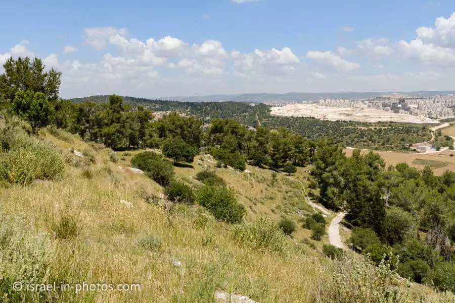
The name Azeka does not appear in the 6th-Century Madaba map; instead, the site is referred to by its Byzantine designation, Beit Zacharia, preserved to this day in the name of Moshav Zekharia, not far from the archaeological mound. At an elevation of 347 meters above sea level, Tel Azeka affords a panoramic view of the Eila Valley, the lowlands, and the mountains. A network of hidden, underground chambers was discovered on its slopes, apparently dating from the Bar Kokhba revolt.
Source: sign
Azekah in the Bible
As you go uphill, you will see quotes from the Bible. And let’s use this opportunity to elaborate on this issue.
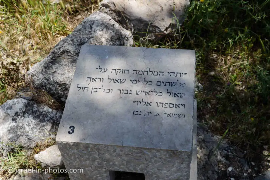
Azekah is mentioned seven times in the Bible (Azekah Bible quotes). The most known quote refers to David and Goliath.
1 Samuel 17:1 (New International Version):
Now the Philistines gathered their forces for war and assembled at Sokoh in Judah. They pitched camp at Ephes Dammim, between Sokoh and Azekah.
There are references to the war between Joshua and the five kings, but I already wrote about it when we visited Tel Jarmuth.
Archeological Excavations
While walking uphill using the blue trail, we saw additional informational signs.
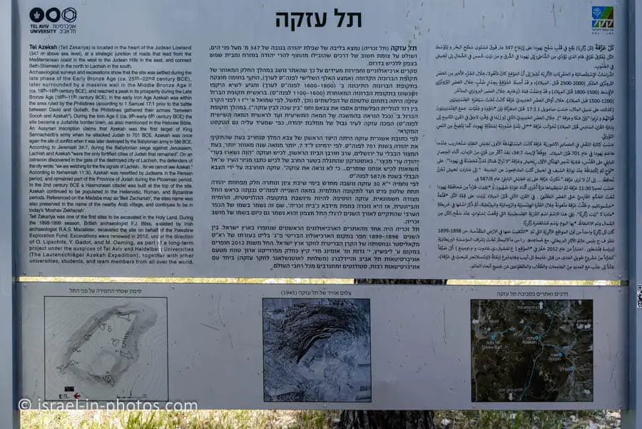
Here is information from one of them:
Tel Azekah (Tell Zakariya) is located in the heart of the Judean Lowland (347 m above sea level), at a strategic junction of roads that lead from the Mediterranean coast in the west to the Judean Hills in the east and connect Beth-Shemesh in the north to Lachish in the south.
Archaeological surveys and excavations show that the site was settled during the late phase of the Early Bronze Age (ca. 25th-22nd century BCE), later surrounded by a massive wall in the Middle Bronze Age II (ca. 18th-16th century BCE), and reached a peak in its prosperity during the Late Bronze Age (16th-11th century BCE). In the early Iron Age, Azekah was within the area ruled by the Philistines (according to 1 Samuel 17:1, before the battle between David and Goliath, the Philistines gathered their armies “between Socoh and Azekah”). During the Iron Age II (ca. 9th-early 6th century BCE), the site became a Judahite border town, as also mentioned in the Hebrew Bible.
An Assyrian inscription claims that Azekah was the first target of King Sennacherib’s army when he attacked Judah in 701 BCE. Azekah was once again the site of conflict when it was later destroyed by the Babylonian army in 586 BCE. According to Jeremiah 34:7, during the Babylonian siege against Jerusalem, Lachish and Azekah “were the only fortified cities of Judah that remained.” On an ostracon discovered in the gate of the destroyed city of Lachish, the defenders of the city wrote: “We are watching for the fire signals of Lachish…for we cannot see Azekah.”
According to Nehemiah 11:30, Azekah was resettled by Judeans during the Persian period and remained part of the Province of Judah during the Ptolemaic period. In the 2nd century BCE, a Hasmonean citadel was built at the top of the site. Azekah continued to be populated in the Hellenistic, Roman, and Byzantine periods. Referenced on the Madaba map as ‘Belt Zechariah,’ the site’s name was also preserved in the name of the nearby Arab village and continues to be in today’s ‘Moshav Zekhariah.’
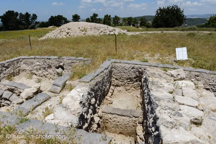
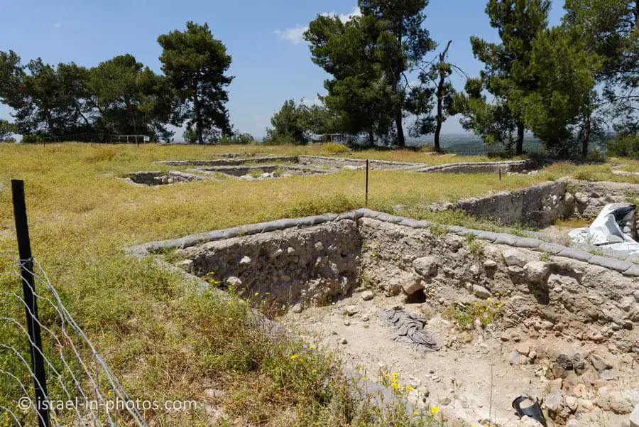
Tell Zakariya was one of the first sites excavated in the Holy Land. During the 1898-1899 season, British archaeologist F.J. Bliss, assisted by Irish archaeologist R.A.S. Macalister, excavated the site on behalf of the Palestine Exploration Fund. Excavations were renewed in 2012 under the direction of O. Lipschits, Y. Gadot, and M. Oeming, as part c f a long-term project under the auspices of Tel Aviv and Heidelberg Universities (The Lautenichlager Azekah Expedition), together with other universities, students, and team members from all over the world.
Source: sign
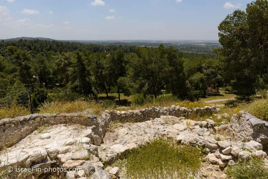
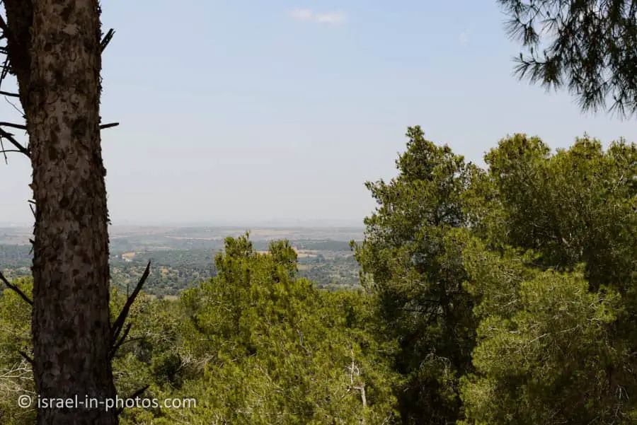
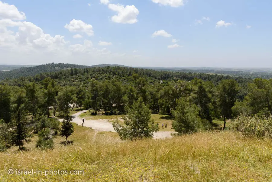
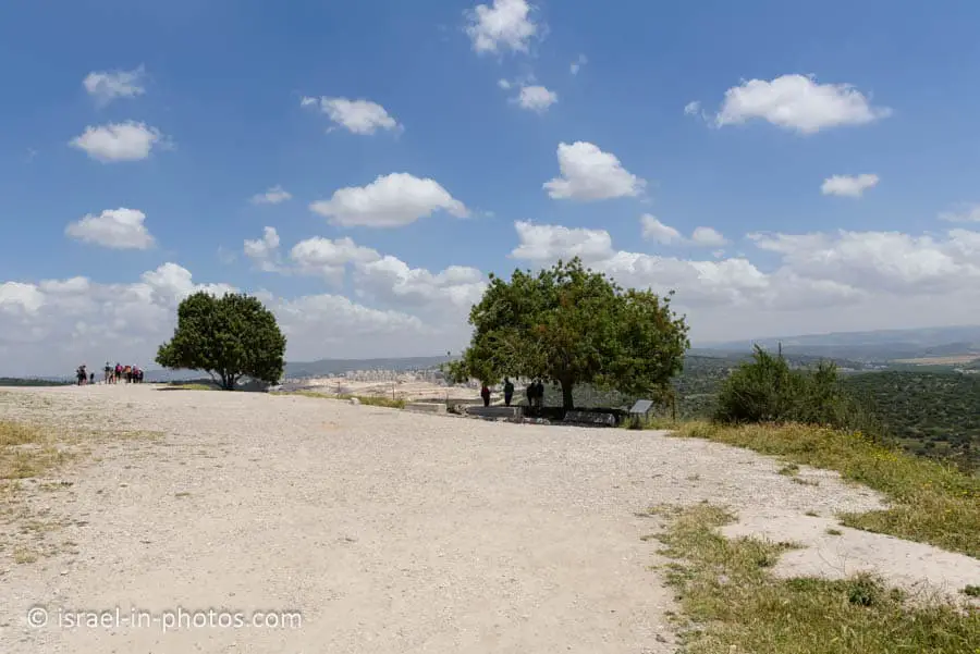
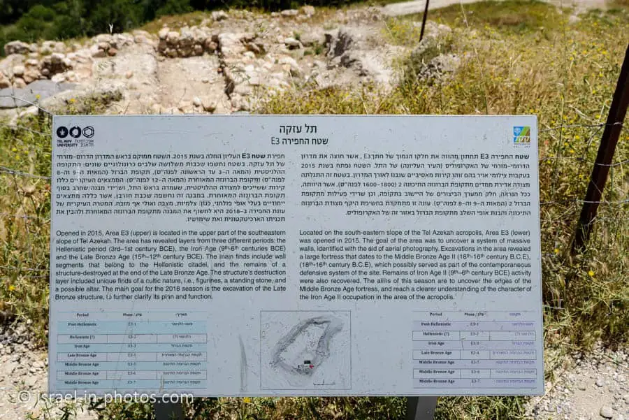
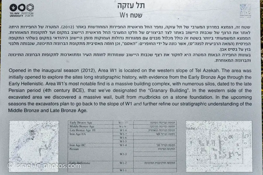
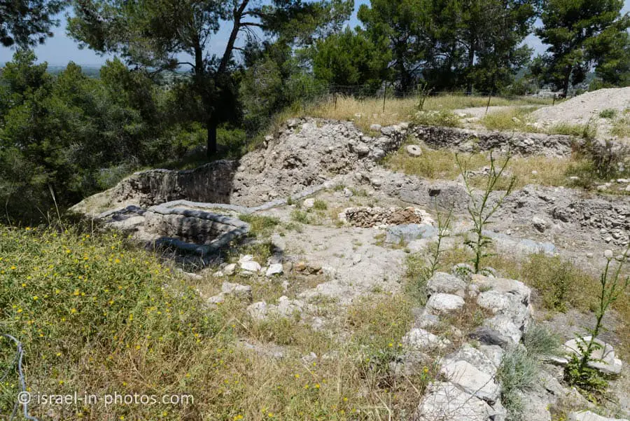
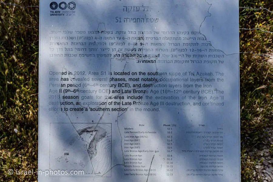
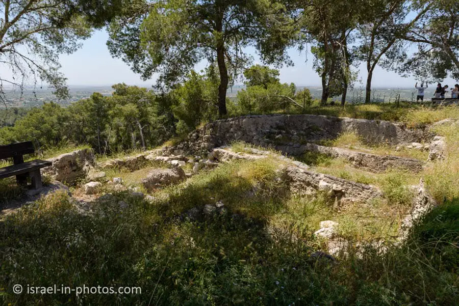
On top of the Tel, you can see different excavation areas. Also, the top of the Tel serves as a good viewpoint. Here are several photos from the top:

Summary
The trail at Tel Azekah is not long, so it will not take much time. In our case, it took about an hour. Thus, you can combine this visit with other nearby points of interest. You can find all of them on the interactive map at the top of this page.
Have you ever been to Tel Azekah? Tell us about your experience in the comments below.
That’s all for today, and I’ll see you in future travels!
Stay Tuned!
Additional Resources
Here are several resources that I created to help travelers:- Trip Planner with Attractions and Itineraries is the page that will help you create your perfect travel route.
- What is the Best Time to visit Israel? To answer this question, we will consider the weather, prices, holidays, festivals, and more.
- Information and Tips for Tourists to Israel will answer the most common questions tourists have about Israel (including safety, passports, weather, currency, tipping, electricity, and much more).
- Israel National Parks and Nature Reserves include a complete list, top ten, map, tickets (Israel Pass, Matmon, combo), and campsites.
- If you are looking for things to do, here are the pages for Jerusalem, Tel Aviv, Haifa, Sea Of Galilee, Akko (Acre), Eilat, Nazareth, Safed (Tzfat), and Makhtesh Ramon.





Yes visited march 2015 parked at end of gravel road and hiked up blk and white trail if i remember…kinda rocky trail to top
Amazing views and thrill to be in land of Israel…..hiked down old road went by sheep/goats herders camp with barking dogs seen some old olive trees and large stones at base of hill… was amazing day😁🙏🎚️