Tel Socho – Lupine Hill – Loop Trail for Families
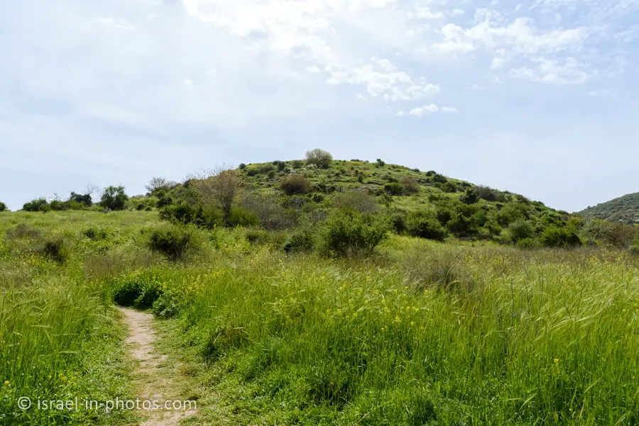
Tel Socho, near Elah Valley, is known for its lupine flowers. It is also mentioned in the Bible as one of the cities conquered by Joshua.
Table of Contents
Map
Tel Socho is located near roads #38 and #375, not far from Bet Shemesh and by the valley of Elah.
The easiest way to reach this spot is by entering “Tel Socho” into Waze.
Directions for drivers: Link to Waze and Link to Google Maps
Directions for public transport: Link to Moovit
Interactive map of the area:
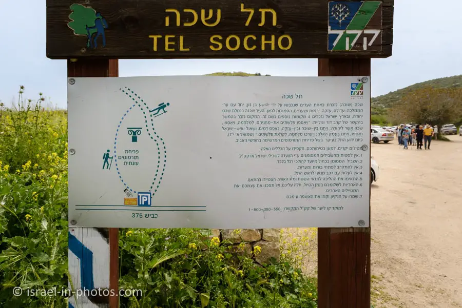
And here is a scheme of the path:
Trails
There are two popular loop trails. Here is an interactive map from israelhiking.osm.org.il where these trails are marked:
| Name | Color of the Trail on the Map above | Description | Distance (km) | Total climb and descent (meters) | Notes |
|---|---|---|---|---|---|
| Short loop trail | Blue | Both trails begin with the blue path, also marked as the Israel National Trail. After passing the hilltop and the lupines, you turn right. And return to the parking using a dirt road. | 2.2 | 132 | You can vary this trail by going to the top of the hill and down, or walking it in the opposite direction. |
| Long loop trail | Red | You can vary this trail by going to the top of the hill and down or walking it in the opposite direction. | 5.4 | 368 |
Entrance Fee
Free.
Opening Hours
Visit only during daylight.
Picnic and Barbeque
There are no picnic tables or facilities, but there are many equipped picnic and barbeque areas nearby. For example, after completing the short trail, we drove to the nearby Britannia Park for a picnic.
Restrooms
None.
When to visit Tel Socho?
Lupines bloom during spring, and the peak bloom is usually in February and March. Thus, if you want to see lupines, visit during these months.
Also, there are few trees and almost no shade along the path. Therefore, choose either the early or the late hours of the day.
Short Loop Trail
The hike begins at the parking lot by road #375.

As you can see, the Blue Trail (also part of the Israel national trail) starts with a rather steep incline. If you want an easier way to reach the top, you can walk in the opposite direction (and get down using the same path). The walk will be easier but more prolonged.
We hiked the short loop trail during the first days of April and still saw flowers, including lupines.

The Mosaic at Tel Socho
After several minutes, we reached the Mosaic at Tel Socho.


The mosaic before you is a part of a large Christian-Byzantine complex that flourished here from the fifth – to eighth centuries C.E. The complex of rooms and mosaic floors were probably connected to a monastery which was situated along the ancient road crossing the Ellah Valley connecting Jerusalem to Bet Guvrin. The eastern section of the road follows the route of Highway 375 (also known as the “Caesar’s Path”).
The site was excavated in 1980, and additional mosaic floors were revealed but removed from the site in fear of being damaged. The mosaic is adorned with a simple scale pattern, interwinding grapevines around a central amphora (wine jug), which form medallions encompassing filled baskets, animals, and birds. The mosaic floor features two Greek inscriptions: The first appears inside a tabella ansata (rectangular frame with triangular handles), indicating the names of honored priests and nuns from the monastery. The second inscription denotes the burial spot of a high-ranking clergy member named Johnathan the Priest.
The Jewish National Fund and Israel Antiquities Authority joined hands in preserving and displaying the mosaic to the public. The mosaic is thus a reference point for those who ascend Tel Sokho or hike the Israel National Trail
Source: sign
Climbing to the top of the Tel
By the way, this is a Tel. And if you wonder what it is, see What Does Tel Mean?

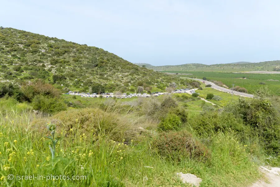

It took us about twenty minutes to climb to the Tel. And in the following photo, you can see Beit Shemesh. We visited this neighborhood about half a year ago when we joined a tour to Tel Jarmuth.

At Tel Socho
From the top of the Tel, you can see the surrounding area, including the valley of Elah. Moreover, you can find many flowers there during spring. And there are some remains. Here are several photos:
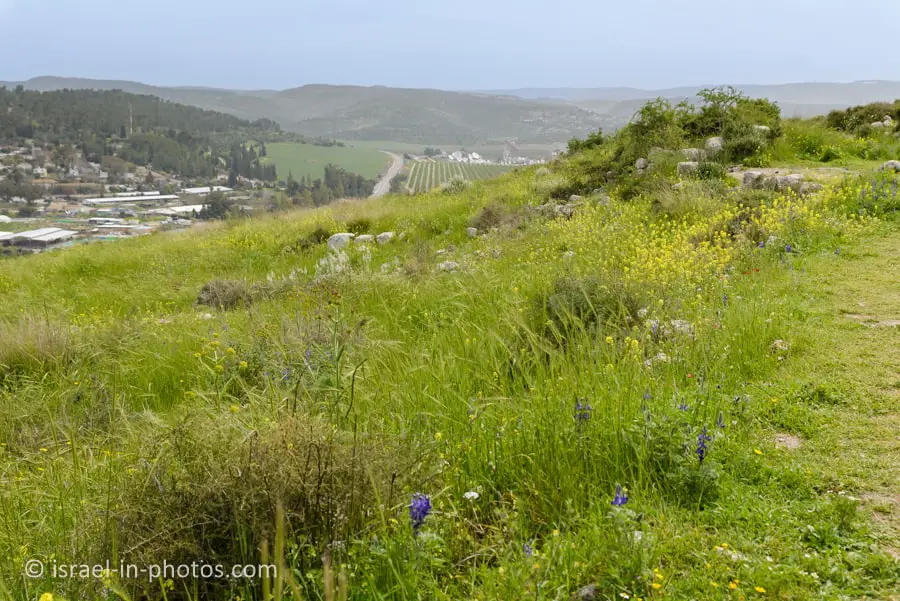
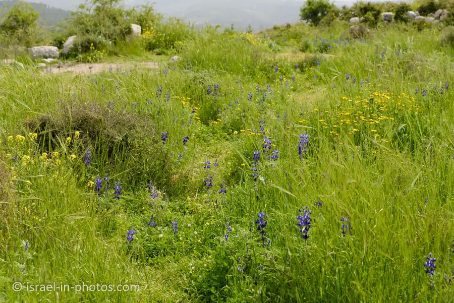


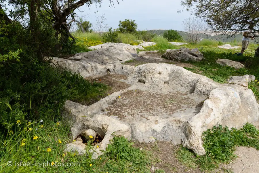
There are many pits in the ground at Tel Socho. Usually, these pits served as water reservoirs, and along the trail, all holes were covered (as you can see in the next photo).

In any case, hike only along the marked trails and do not let children wander alone.
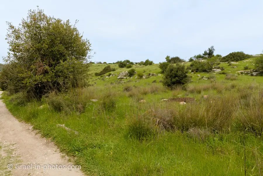
At the following point (as you can see in the following image), we turned right and left the blue trail. And then we used the dirt road to return to the parking.

Dirt Road Back to the Parking


Sochoh in the Bible
Sokho is the name given to two ancient towns in the territorial domain of Judah, as mentioned in the Hebrew Bible, west of the Judean hills. In Arabic, both towns were given the name Shuweikah, a diminutive of the Arabic shawk, meaning “thorn.” The remains of both have since been identified.
Although it is listed in Joshua 15:35 as being a city in the plain, Socho is partly in the hill country and partly in the plain. The biblical account states that the Philistines encamped between Sokho and Azekah in the Valley of Elah before Goliath’s historic encounter with David, the son of Jesse (1 Samuel 17:1). David slew the Philistine giant with a stone slung from a shepherd’s sling. Rehoboam fortified the place (2 Chronicles 11:7), but it is not clear which of the two sites is referred to. Socho was one of the cities occupied temporarily by the Philistines in the time of Ahaz (2 Chronicles 28:18).
Source: Wikipedia
Joshua 15:35 (New Revised Standard Version):
Jarmuth, Adullam, Socoh, Azekah,
1 Samuel 17:1 (New Revised Standard Version):
Now the Philistines gathered their armies for battle; they were gathered at Socoh, which belongs to Judah, and encamped between Socoh and Azekah, in Ephes-dammim.
2 Chronicles 11:7 (New Revised Standard Version):
Beth-zur, Soco, Adullam,
2 Chronicles 28:18 (New Revised Standard Version):
And the Philistines had made raids on the cities in the Shephelah and the Negeb of Judah, and had taken Beth-shemesh, Aijalon, Gederoth, Soco with its villages, Timnah with its villages, and Gimzo with its villages; and they settled there.
Summary
The short trail took us about 1.5 hours at a moderate pace. It is a lovely short trail suitable for families, and you can combine it with a picnic in one of the nearby forests for a half-day getaway.
This area has many attractions. You can explore them using the interactive map above.
Have you visited Tel Socho? Tell us about your experience in the comment below.
That’s all for today, and I’ll see you in future travels!
Stay Tuned!
Additional Resources
Here are several resources that I created to help travelers:- Trip Planner with Attractions and Itineraries is the page that will help you create your perfect travel route.
- What is the Best Time to visit Israel? To answer this question, we will consider the weather, prices, holidays, festivals, and more.
- Information and Tips for Tourists to Israel will answer the most common questions tourists have about Israel (including safety, passports, weather, currency, tipping, electricity, and much more).
- Israel National Parks and Nature Reserves include a complete list, top ten, map, tickets (Israel Pass, Matmon, combo), and campsites.
- If you are looking for things to do, here are the pages for Jerusalem, Tel Aviv, Haifa, Sea Of Galilee, Akko (Acre), Eilat, Nazareth, Safed (Tzfat), and Makhtesh Ramon.

