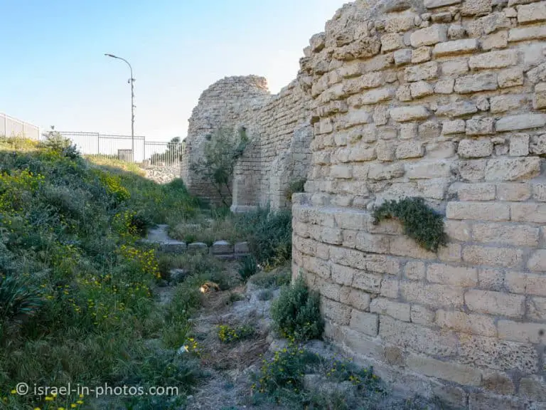
Khirbet Qeiyafa, Ancient Hilltop Fortress – Visitors Guide
Khirbet Qeiyafa near Bet Shemesh is an ancient fortress city overlooking the Elah Valley from the 10th century BCE.
Table of Contents
Map
Khirbet Qeiyafa is located on a hill near the city of Bet Shemesh. It is also close to Tel Azekah and Tel Socho. And the easiest way to reach it is by entering its name into Waze.
Directions for drivers: Link to Waze and Link to Google Maps
Directions for public transport: Link to Moovit
Interactive map of the area:
Parking
There is free parking near the entrance.
Opening Hours
Khirbet Qeiyafa is part of Elah Valley National Park. And according to the following sign, you should not remain in the park after dark. Meaning, visit only during daylight.
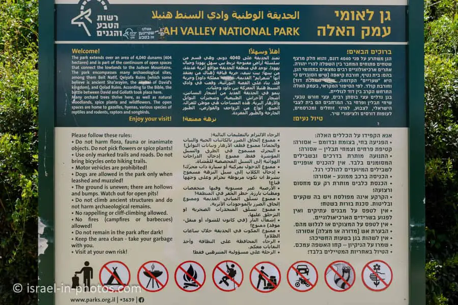
Note: the sign lists other restrictions applicable to Elah Valley National Park.
Trails
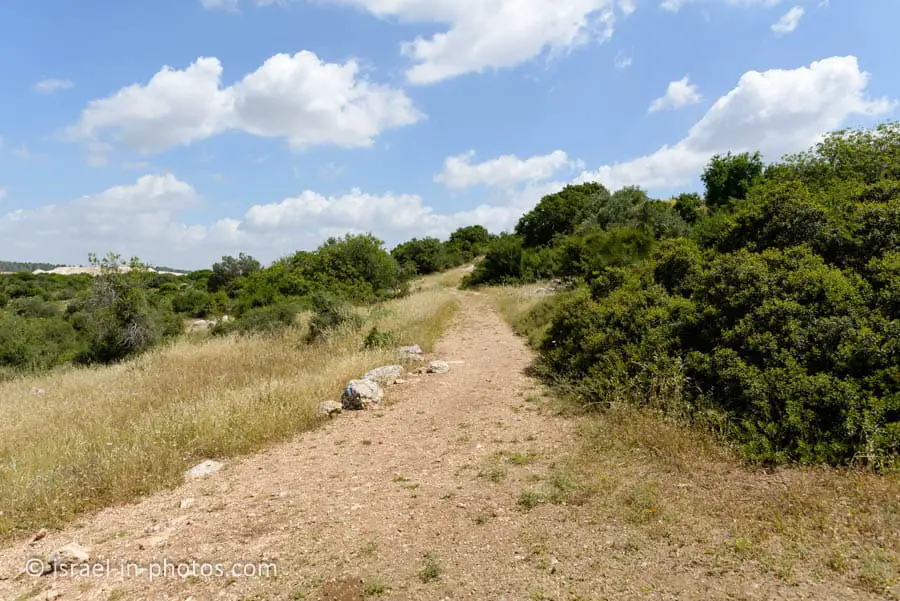
In the following image, you can see Road #38 and the dirt road leading to Khirbet Qeiyafa.
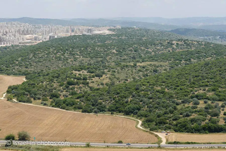
There are several options to visit this place. You can park near road #38 and walk from there (same as the three cars in the photo above). You can drive halfway till the road becomes bad. Or you can drive to the parking lot by the entrance.
Here is an interactive map from israelhiking.osm.org.il where the third hiking trail is marked:
And here are the details of the marked trails:
| # | Name | Color of the Trail on the Map above | Description | Distance (km) | Total climb and descent (meters) | Notes |
|---|---|---|---|---|---|---|
| 1 | Short Loop Trail | Blue | This trail starts at the parking, goes around the Tel, and returns to the same place. | 0.8 | 48 |
If you park by road #38, the trail length will be 4 km. But then most of the hike is along a dirt road and not that interesting.
Entrance Fee
Free.
About Khirbet Qeiyafa
Khirbet Qeiyafa, also known as Elah Fortress and in Hebrew as Horbat Qayafa, is the site of an ancient fortress city overlooking the Elah Valley and dates to the first half of the 10th century BCE. The ruins of the fortress were uncovered in 2007 near the Israeli city of Beit Shemesh, 30 km from Jerusalem.
It covers nearly 2.5 ha (6 acres) and is encircled by a 700-meter-long (2,300 ft) city wall constructed of stones weighing up to eight tons each. Excavations at the site continued in subsequent years. Several archaeologists, mainly the two excavators, Yosef Garfinkel and Saar Ganor, have claimed that it might be one of two biblical cities, either Sha’arayim, whose name they interpret as “Two Gates,” because of the two gates discovered on the site, or Neta’im; and that the large structure at the center is an administrative building dating to the reign of King David, where he might have lodged at some point. This is based on their conclusions that the site dates to the early Iron IIA, ca. 1025–975 BCE, a range which includes the biblical date for the biblical Kingdom of David.
Others suggest it might represent a North Israelite, Philistine, or Canaanite fortress, a claim rejected by the archaeological team that excavated the site. The team’s conclusion that Khirbet Qeiyafa was a fortress of King David has been criticized by some scholars.
Source: Wikipedia
And here is a short video by Bible Lands Museum:
The Dirt Road
Here are several photos of the dirt road leading to the place:
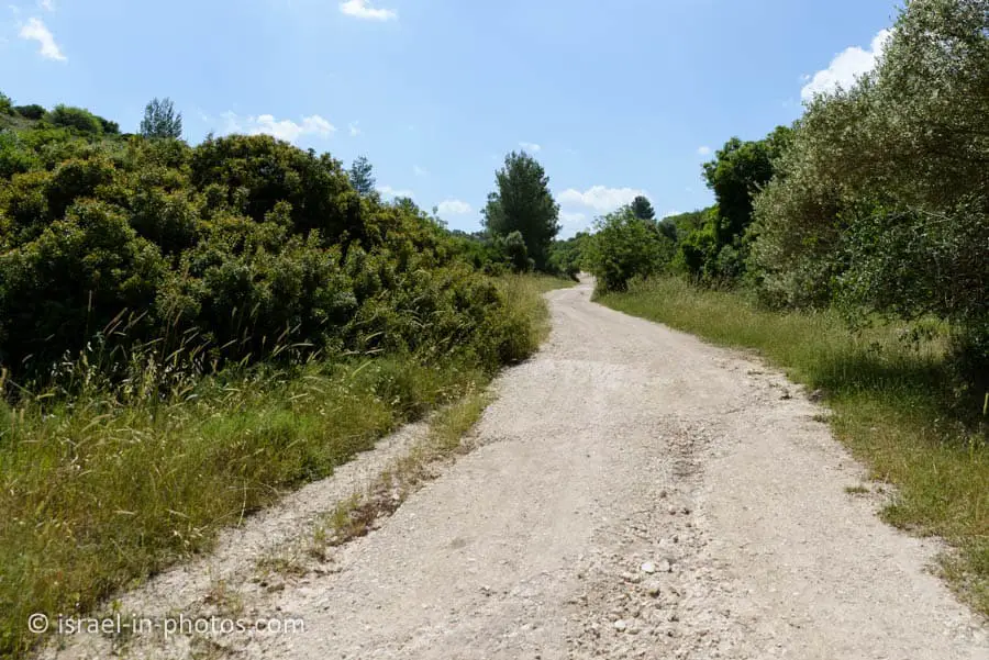


At some point, the dirt road turns right and goes uphill. Since the road worsened, we parked there and walked the rest of the way.
The Blue Trail
At the parking lot, you will see the blue trail marking leading to Khirbet Qeiyafa. Here are several photos from that section of the path:




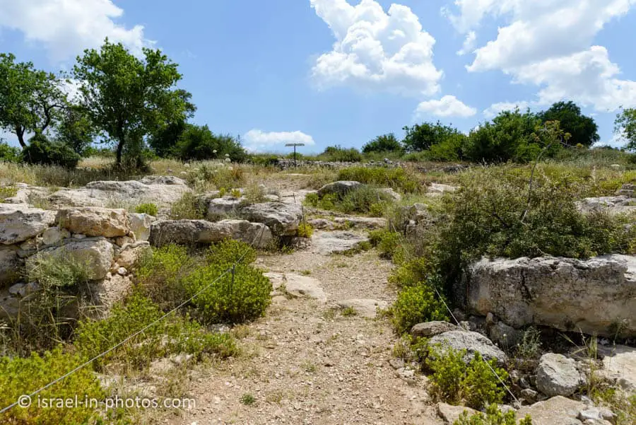
Once you enter the city, you will see the following sign:

As we hike the trail, I want to mention some of the findings found here.
Ostracon and Inscription
One of the most important findings is the ostracon.
The Khirbet Qeiyafa ostracon is a 15×16.5 cm (trapezoid-shaped potsherd) with five lines of text, discovered in Building II, Room B, in Area B of the excavations at Khirbet Qeiyafa in 2008.
Hebrew University archaeologist Amihai Mazar said the inscription was the longest Proto-Canaanite text ever found. Carbon-14 dating of 4 olive pips found in the same context with the ostracon and pottery analysis offer a date of Iron Age IIA c. Three thousand years ago (late 11th/early 10th century BCE).
In 2010, the ostracon was placed on display in the Iron Age gallery of the Israel Museum in Jerusalem.
Source: Wikipedia
Several researchers looked at the ostracon, and different translations were suggested.
Translation by Gershon Galil from Haifa University:
You shall not do it, but worship (the god)
Judge the slave and the widow / Judge the orphan
and the stranger. Plead for the infant / plead for the poor and
the widow. Rehabilitate the poor at the hands of the king
Protect the poor and the slave / support the stranger.
Proposed reading by Emile Puech of the Ecole Biblique et Archeologique Francaise:
Do not oppress, and serve God … despoiled him/her
The judge and the widow wept; he had the power
over the resident alien and the child, he eliminated them together
The men and the chiefs/officers have established a king
He marked 60 [?] servants among the communities/habitations/generations
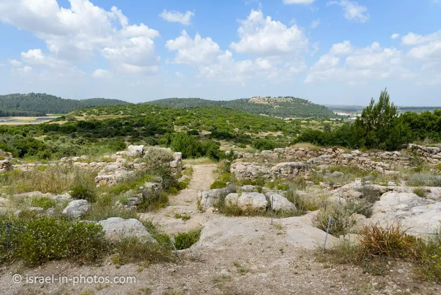


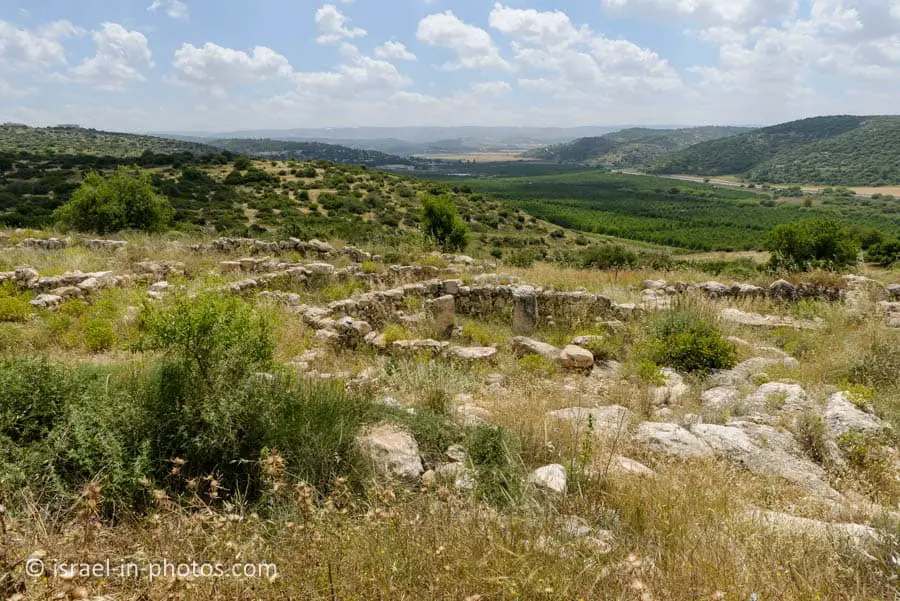
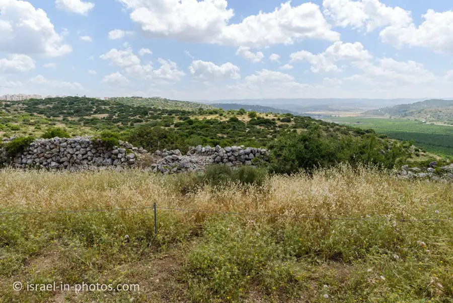
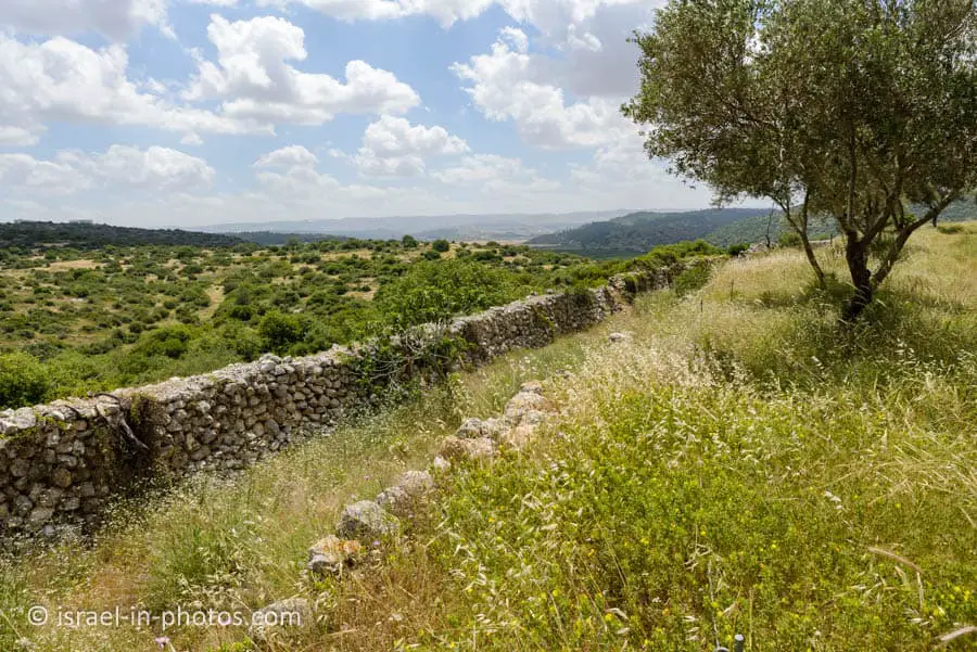
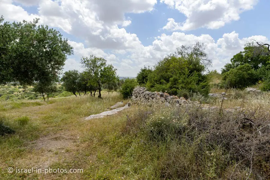
Here are additional photos from the trail:





Summary
Elah Fortress is impressive, but unfortunately, it is not maintained. As you can see, there is a lot of greenery everywhere and no informational signs. Thus it is hard to understand the details. Therefore, until this place undergoes further development, you will have to visit with a guide if you want a deeper understanding.
The short trail at Khirbet Qeiyafa took us less than one hour. Thus you can combine this visit with other nearby points of interest. You can find all of them on the interactive map at the top of this page.
Have you ever been to Khirbet Qeiyafa? Tell us about your experience in the comments below.
That’s all for today, and I’ll see you in future travels!
Stay Tuned!
Additional Resources
Here are several resources that I created to help travelers:- Trip Planner with Attractions and Itineraries is the page that will help you create your perfect travel route.
- What is the Best Time to visit Israel? To answer this question, we will consider the weather, prices, holidays, festivals, and more.
- Information and Tips for Tourists to Israel will answer the most common questions tourists have about Israel (including safety, passports, weather, currency, tipping, electricity, and much more).
- Israel National Parks and Nature Reserves include a complete list, top ten, map, tickets (Israel Pass, Matmon, combo), and campsites.
- If you are looking for things to do, here are the pages for Jerusalem, Tel Aviv, Haifa, Sea Of Galilee, Akko (Acre), Eilat, Nazareth, Safed (Tzfat), and Makhtesh Ramon.


