Saar Falls – Visitors Guide – Stunning and Free
Saar Falls on Golan Heights is one of the most beloved waterfalls in Israel. And that is because of its size, beauty, and accessibility.
Table of Contents
Map
Saar Falls is located in Golan Heights, near the intersection of roads #99 and #989. And to get there, enter “Saar Falls” into the navigation app.
Directions for drivers: Link to Waze and Link to Google Maps
Directions for public transport: Link to Moovit
Interactive map of the area:
Parking
There is free parking on road #99 near the waterfall. But if you visit on a Saturday when the water flow is especially impressive, all nearby parking will be taken. You will see people parking along roads #99 and #989 and walking to the viewpoint.
Tracks
There are several ways you can visit Saar Falls and Resisim waterfall. One track connects them, and we can divide it into three parts.
Here is an interactive map from israelhiking.osm.org.il where all the trails are marked:
| # | Name | Description | Distance (km) | Total climb and descent (meters) | Notes |
| 1 | Saar Falls circular trail (blue) | It is a short and easy path that takes up to half an hour. Thus it is suitable for families. Also, part of this trail is accessible for wheelchairs. | 0.57 | 68 | Short cyclic trail and the most popular option. |
| 2 | Friendship bridge to Saar waterfall (red) | You can drive to the Friendship bridge above the Saar river on the access road to Ein Qiniyye. Park there and hike the trail along the stream till Saar waterfall. It typically takes two and a half hours to complete this section, and it is not hard and suitable for families. | 3.16 | 224 | It is not a loop trail. You will need two cars, one at Saar falls and the other near the Friendship bridge. |
| 3 | Friendship bridge to Resisim waterfall (green) | You can start at the Friendship bridge, but walk against the water flow this time. After about one km, you will reach the Resisim fall. Then you return to the car using the same trail. | 2 | 206 | Remember that this part of the path is the hardest among the three and is suitable for experienced hikers. |
As you can see, you can combine all three parts, hike from Friendship bridge to Saar falls or visit each section separately. But since there is little shade along the track, take plenty of water, hats, and sunscreen.
Note: I marked the Resisim waterfall and Friendship bridge on the interactive map above.
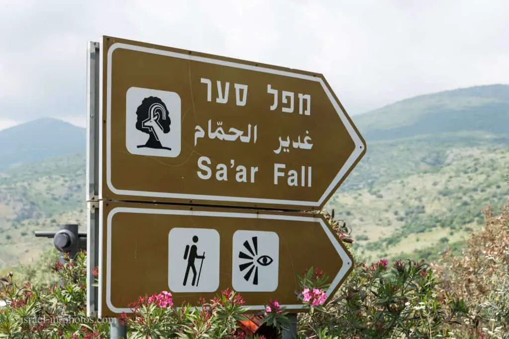
Opening Hours
Always open. But there is no artificial light. Thus visit only during the day.
When to Visit?
Saar Falls is impressive after the rains. But immediately after the showers, the trails can be slippery. Thus a day or two after rain from January till April would be perfect. Also, keep in mind that during Summer and Autumn, the river can dry up. Therefore I would suggest not visiting during these seasons.
Is Saar Stream flowing? Are Saar Falls dry?
As mentioned above, Saar Falls is grand after the rains. But you will be disappointed if there is no water. So how can you know if Saar Stream is flowing?
Unfortunately, there are no live cameras nearby. But we can use social networks to find out. One of the easiest ways is to check the relevant tag on Instagram. Click on this link, and see the most recent post.
Entrance Fee
Free.
Restaurants and Food Stalls
After heavy rains, the flow becomes powerful, and Saar Falls is especially striking. And during those weekends, many people visit this waterfall.
Thus, beyond the restaurant on-site, you will see many food stalls. Most places are managed by Druze (probably from the nearby Ein Qiniyye), where they sell their produce.
Over the years, we visited Saar Falls many times and even purchased different goods. We bought honey, apples, olives, and many other things. And overall, the produce was of good quality. The only thing I did not like was a cherry jam that we purchased once. And I was not too fond of it because the cherries were cooked as is, with cherry stones. If you plan to buy something there, bring cash with you.
Saar River
Saar River flows on northern Golan Heights. It is best known for Saar Falls, near road #99, and is characterized by impressive flow after the rains.
The origin of the Saar river is near Majdal Shams. And Saar river is considered the geographical border between the Golan and Hermon.
There are two high waterfalls in this river: Resisim waterfall – about a kilometer east of the Friendship Bridge, and Saar Falls – west of the Saar Bridge adjacent to the 989 highway to Neve Ativ. The waterfalls are a result of a steep height drop (550 meters in 6 km).
Besides the two large waterfalls, there are several dozen more cascades and small waterfalls along the stream.
Naturally, the stream has a year-round water flow. But many years ago, the residents of the surrounding area started using the water. And since then, water has been flowing only when the flow rate exceeds the pumping rate (usually after heavy rain) or when water reservoirs are full, typically only in the second half of winter. At the peak of the rainy season, its flow may reach an impressive rate, and then many hikers visit the Saar Falls.
Source: translated from Wikipedia
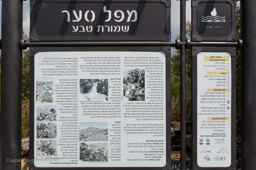
Saar Falls Loop Trail
This section will visit the most popular part of the mentioned tracks, the Saar Falls circular path.
We will head to the viewpoint from the parking on road #99 (take the left path).

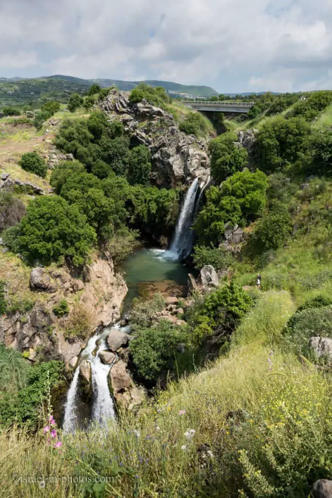
You can see the waterfalls and the loop path (where a person stands – in the photo’s top right corner). The cyclic route leads you to a bridge above the upper waterfall (you can not see it in the picture above due to the greenery). Then you climb up towards the road and use the concrete bridge to return to parking. If you walk without stops, then it will take 10 – 15 minutes.
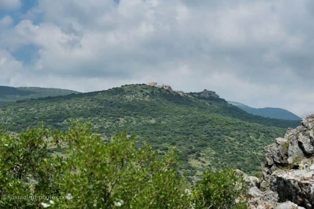
A little to the left of the waterfall, you can see Nimrod Fortress on top of a mountain.

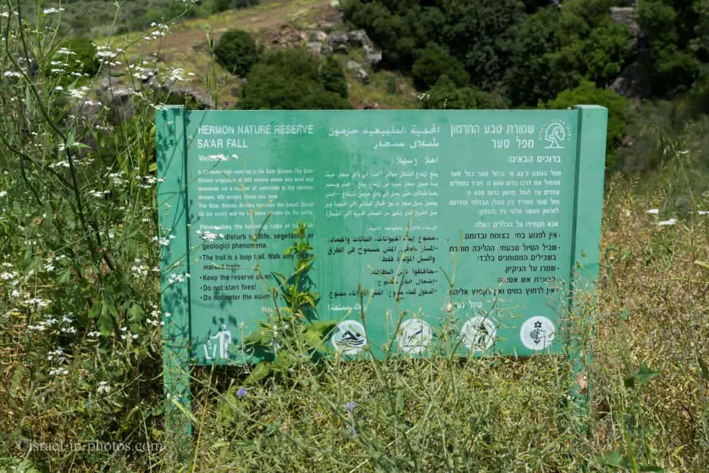
Saar Falls is part of the Hermon Nature Reserve. And you are probably familiar with this name. That is because the Saar river flows into the Hermon stream several kilometers down the stream. And Hermon stream nature reserve is widely known as Banias Nature Reserve.
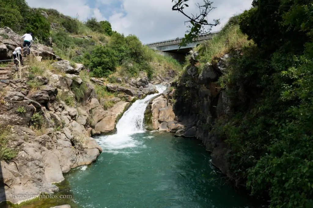
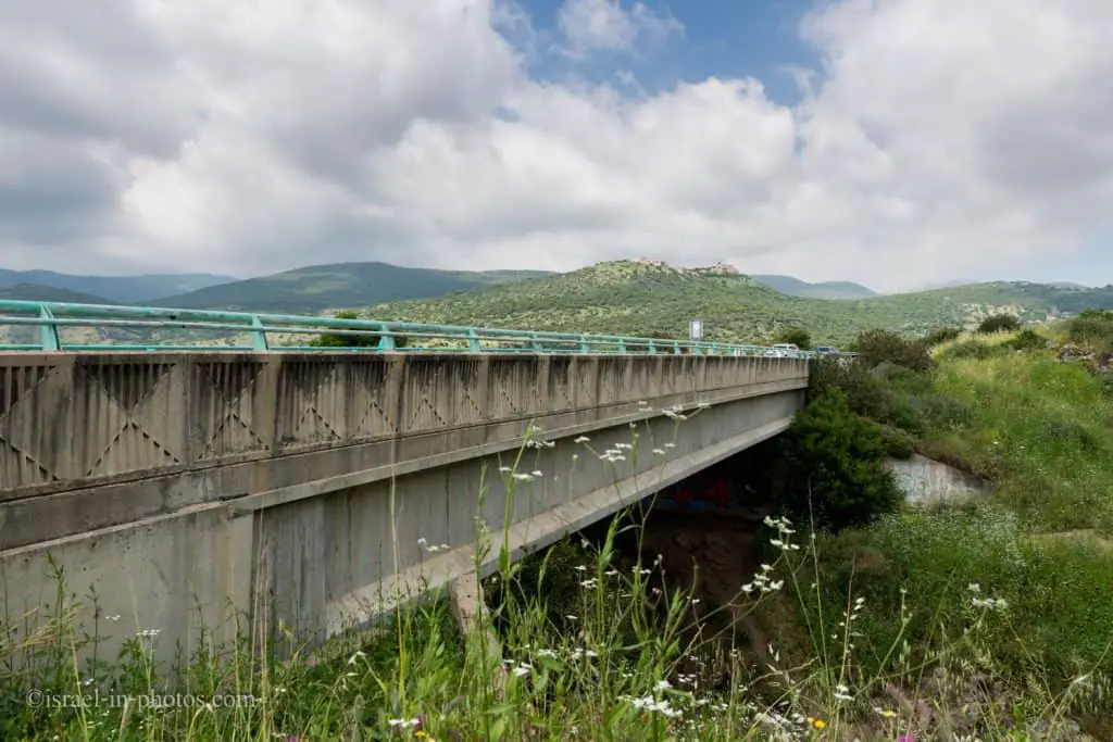
And if you look back from the road, you can see the pedestrian bridge and parts of the trail we used. Also, in the background, you can see the viewpoint where we started the Saar Falls Circular Trail.

From the Friendship Bridge to Saar Waterfall
We decided to make the hike a little longer on our latest visit. Thus, we did not return to the parking after crossing the bridge above road #989. Instead, we went to the other side of the road and followed the green trail for a while. Yes, we hiked in the opposite direction but did not plan on reaching the Friendship bridge. And that is because we reached Saar Falls in the second part of the day. In the morning, we saw Iyon, Tahana, and Tanur Waterfalls at Ayun Stream Nature Reserve.

Within less than ten minutes, we reached a big pool. And despite the sign, people were swimming in the water. The water was clear, but nearby villages sometimes pour their sewage into the stream.

Nearby Attractions
That is the end of our visit. But if you are like most people and hike along the Saar Falls circular trail, you can combine it with other attractions.
Here are several nearby attractions that might interest you:
- Nimrod Fortress
- Banias Nature Reserve
- Mount Hermon
- Tel Dan Nature Reserve
- Ayun Stream Nature Reserve
- Agamon Hula
Summary
During the mentioned seasons, Saar Falls are quite impressive. And depending on the chosen track, you can hike anywhere from ten minutes to half a day. In any case, if you are in the area, I would suggest stopping there.
Have you ever been to Saar Falls? Tell us about your experience in the comments below.
That’s all for today, and I’ll see you in future travels!
Stay Tuned!
Additional Resources
Here are several resources that I created to help travelers:- Trip Planner with Attractions and Itineraries is the page that will help you create your perfect travel route.
- What is the Best Time to visit Israel? To answer this question, we will consider the weather, prices, holidays, festivals, and more.
- Information and Tips for Tourists to Israel will answer the most common questions tourists have about Israel (including safety, passports, weather, currency, tipping, electricity, and much more).
- Israel National Parks and Nature Reserves include a complete list, top ten, map, tickets (Israel Pass, Matmon, combo), and campsites.
- If you are looking for things to do, here are the pages for Jerusalem, Tel Aviv, Haifa, Sea Of Galilee, Akko (Acre), Eilat, Nazareth, Safed (Tzfat), and Makhtesh Ramon.


