Tel Jarmuth, Beit Shemesh – Visitors Guide
Tel Jarmuth is a big Tel in Beit Shemesh. And you can find the largest palace from the Early Bronze period in Israel there.
We visited this Tel during Hannukah 2021. And on holidays, Israel Antiquities Authority held various events, including tours and digs.
Table of Contents
Map
Tel Jarmuth is located near new neighborhoods in Beit Shemesh. You can park along Abaye Street, and the entrance is near the intersection of Abaye and Mar Ukva Streets.
During our visit, we saw a sign near the mentioned intersection.
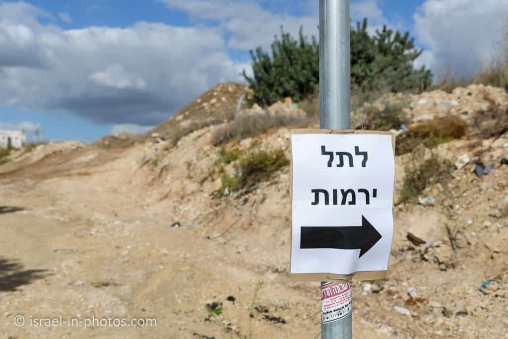
Directions for drivers: Link to Waze and Link to Google Maps
Directions for public transport: Link to Moovit
Interactive map of the area:
Opening Hours
Always open.
Entrance Fee
Free.
Note: Tel Jarmuth is a known place among archeologists, and there were excavations from 1970. When new neighborhoods were planned in Beit Shemesh, contractors wanted to build on this hill. That is when Antiquities Authority decided to convert this Tel into a park. Soon, they will add walking routes and transform the place into an archeological park (open to the public). Afterward, Beit Shemesh municipality will be managing this place. Thus opening hours and entrance fees may change in the future.
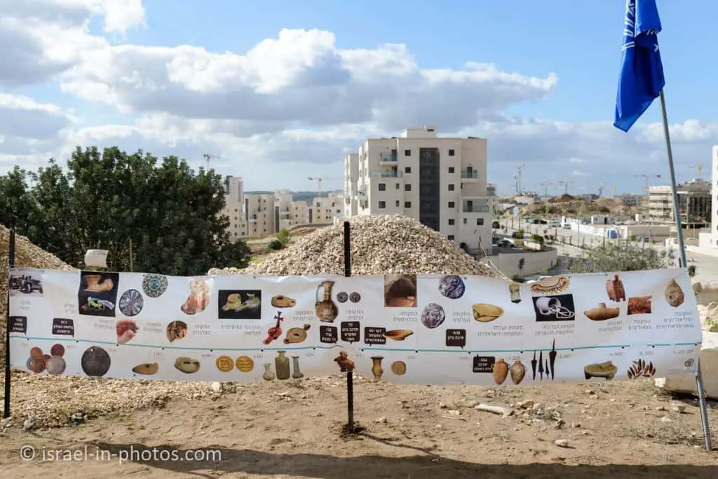
At the Top of the Tel
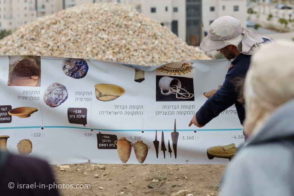
When we climbed to the Tel, there were several activities, including this stand with archeological findings.
Tel Jarmuth is a Tel. And the guide explained to us What Does Tel Mean? Megiddo National Park is also a Tel. You can find an answer to this question there.
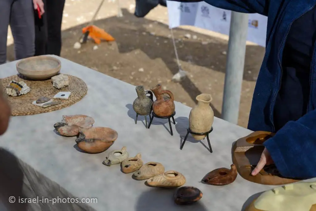
The guide later explained that the archeological findings above are not from Tel Jarmuth.
As you can see in the following photo, archeological excavations are still in process, and there were two chemical restrooms.
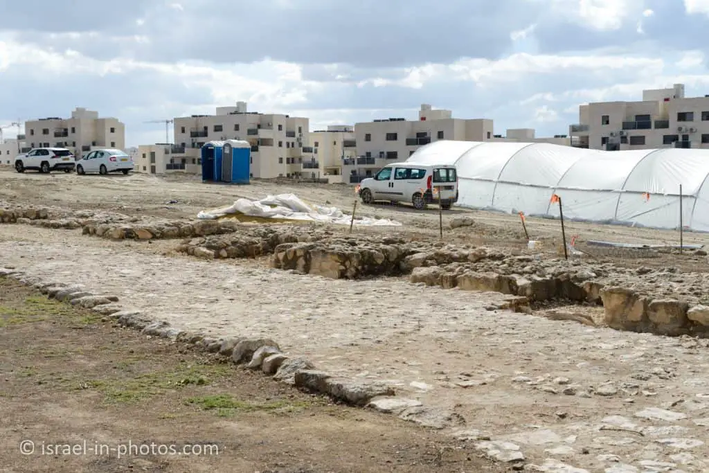
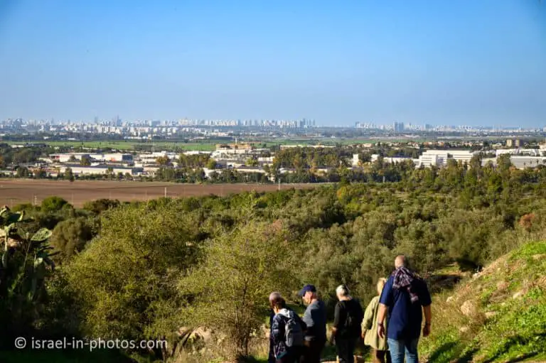
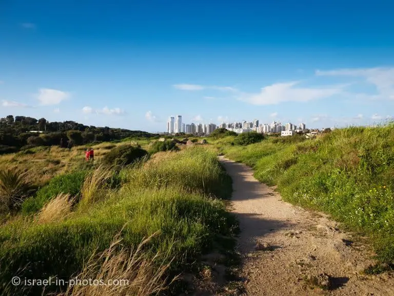
Here are several photos from the top of Tel Jarmuth:
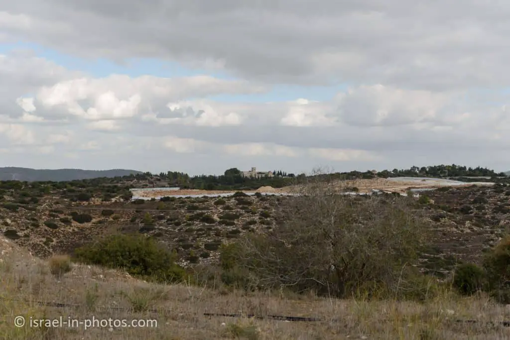
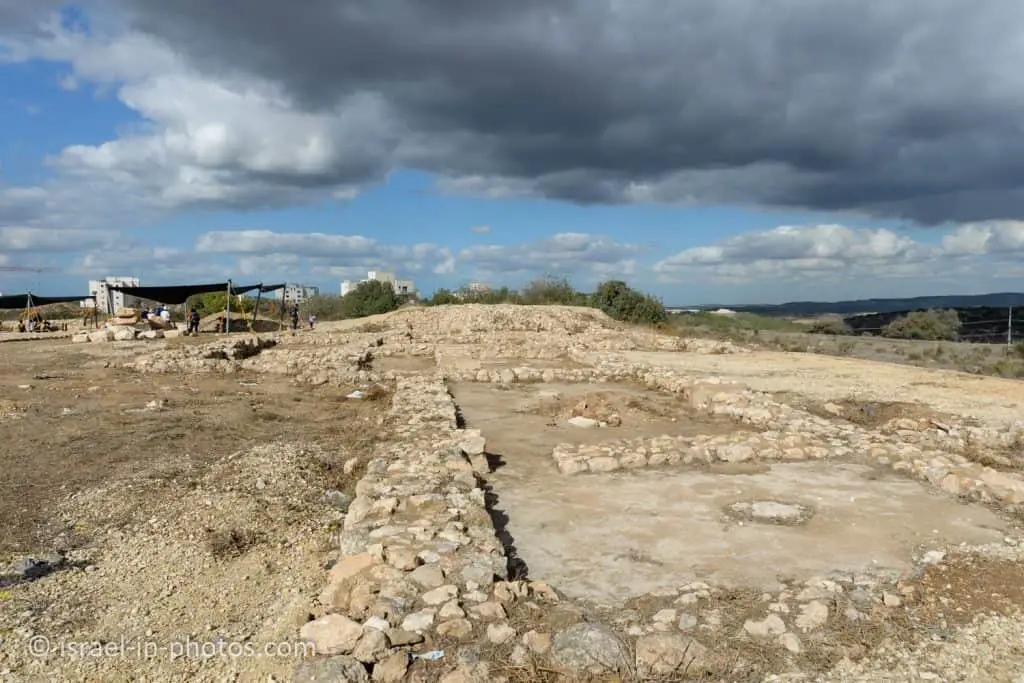
And now, let’s join the free tour with Omer Shalev from Antiquities Authority.
Tour at Tel Jarmuth
I usually prefer starting with a map. So here is a map:
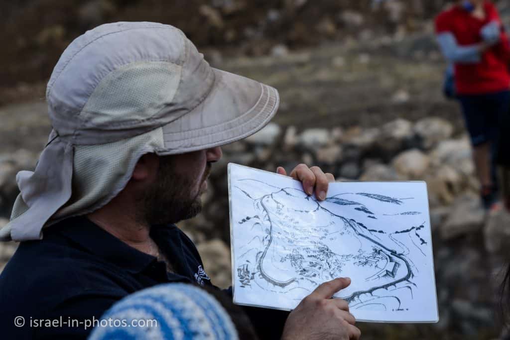
As you can see, the city is located on a Tel, and it can be divided into the lower town and the upper city. We will focus on the lower city during this tour and this post.
As far as I understood, two different approaches were taken by archeologists when excavating the upper and lower cities. In the lower city, they performed many-width excavations. That is why we can see the palace and many rooms. In the upper city, they conducted a depth excavation. Thus they know that the upper city was inhabited for a more extended period than the lower city, but there is little to see.
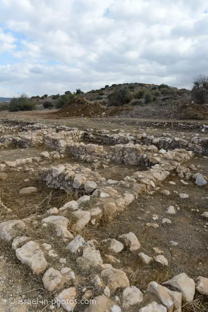
As you can see from the following photo, the lower city of Tel Jarmuth is from the early Bronze period, which is about 3700 – 2500 BCE.
Here is a video where Omer Shalev explains Tel Jarmuth. And at the beginning of that video (1:45), you can see a map of the lower city.
Also, if you are interested in tours and extra activities at Tel Jarmuth, you can contact Omer at omersh@israntique.org.il
The City Gate
After giving some background information, Omer led us to the city gate.
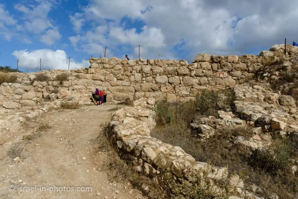
To enter the city, you have to turn to the right. And since most people are right-handed and hold their swords in the right hand, such a turn leaves soldiers exposed to archers standing on the wall. Moreover, the passage becomes very narrow towards the end of the turn. Thus this clever construction was good from a defense point of view.
The idea of a sharp turn by the gate continued for many years. Thus, for example, at Caesarea National Park or Jaffa Gate in the Old City of Jerusalem, you have to make a 90-degree turn inside the gate tower. But they did not keep the turn to the right. I guess the reason is the usage of horses.
Also, it is worth mentioning that the gate was not reconstructed. What you see is how archeologists found it. The only thing done was to add plaster between rocks for reinforcement.
The Palace
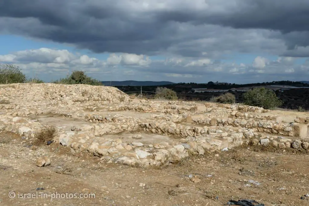
As you enter the city gate, you will see the base of the palace’s walls.
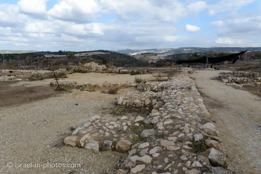
The palace is dated from 2500 – 2450 BCE, the most extensive structure in Israel from the Early Bronze period (6000 square meters).
The wall’s width is about 2 meters. And as you can see, there is a “rectangular extension at every constant distance.” This form made the wall much higher since the “extensions” served as support stands.
The palace has two main areas: a big courtyard and small rooms and halls.
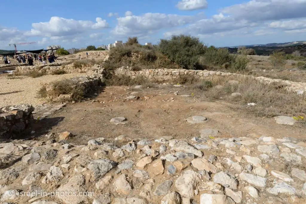
You can find a hypostyle hall near one of the palace entrances. There are nine column bases. And nine wooden pillars supported the roof.
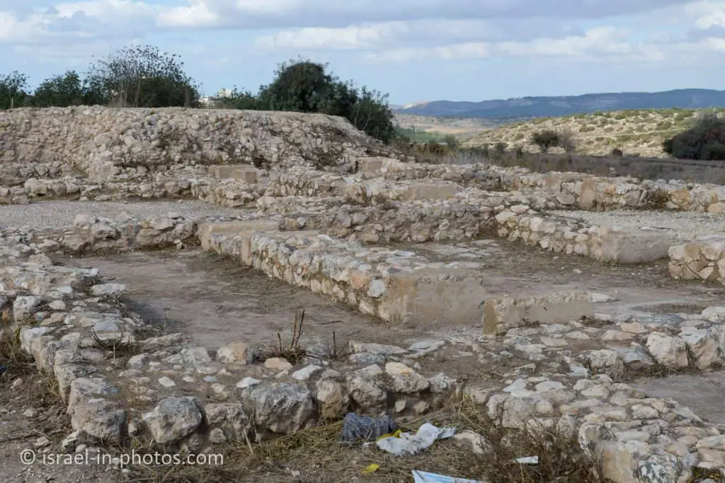
Another exciting place in the palace is the safe room. At around 2500 BC, people did not have coins. Thus they paid with goods. And in this room, archeologists found many jars with food. Moreover, you must pass through many narrow corridors to reach this room. It allowed tight security around the safe room.
We visited several additional places, and after about 35 minutes, the tour ended. But I recommend watching the video above if you cannot join the tour.
Tel Jarmuth in the Bible
The Tel is identified with the biblical city of Jarmuth (the name remained almost unchanged, and the described geographic location matches).
This city is mentioned numerous times, and here are some of the mentions.
Piram, the king of Jarmuth, joined forces with other kings of the Amorites to fight Joshua – Joshua 10:3-5 (New International Version):
3 So Adoni-Zedek king of Jerusalem appealed to Hoham king of Hebron, Piram king of Jarmuth, Japhia king of Lachish and Debir king of Eglon. 4 “Come up and help me attack Gibeon,” he said, “because it has made peace with Joshua and the Israelites.”
5 Then the five kings of the Amorites—the kings of Jerusalem, Hebron, Jarmuth, Lachish and Eglon—joined forces. They moved up with all their troops and took up positions against Gibeon and attacked it.
Joshua defeated the five kings, and Jarmuth became part of the tribe of Judah – Joshua 15:20-35 (New International Version):
20 This is the inheritance of the tribe of Judah, according to its clans:
21 The southernmost towns of the tribe of Judah in the Negev toward the boundary of Edom were:
Kabzeel, Eder, Jagur, 22 Kinah, Dimonah, Adadah, 23 Kedesh, Hazor, Ithnan, 24 Ziph, Telem, Bealoth, 25 Hazor Hadattah, Kerioth Hezron (that is, Hazor), 26 Amam, Shema, Moladah, 27 Hazar Gaddah, Heshmon, Beth Pelet, 28 Hazar Shual, Beersheba, Biziothiah, 29 Baalah, Iyim, Ezem, 30 Eltolad, Kesil, Hormah, 31 Ziklag, Madmannah, Sansannah, 32 Lebaoth, Shilhim, Ain and Rimmon—a total of twenty-nine towns and their villages.
33 In the western foothills:
Eshtaol, Zorah, Ashnah, 34 Zanoah, En Gannim, Tappuah, Enam, 35 Jarmuth, Adullam, Sokoh, Azekah,
Jarmuth is also mentioned in Nehemiah in the list of cities to which the people from Judah tribe returned after exile – Nehemiah 11:25-30 (New International Version):
25 As for the villages with their fields, some of the people of Judah lived in Kiriath Arba and its surrounding settlements, in Dibon and its settlements, in Jekabzeel and its villages, 26 in Jeshua, in Moladah, in Beth Pelet, 27 in Hazar Shual, in Beersheba and its settlements, 28 in Ziklag, in Mekonah and its settlements, 29 in En Rimmon, in Zorah, in Jarmuth, 30 Zanoah, Adullam and their villages, in Lachish and its fields, and in Azekah and its settlements. So they were living all the way from Beersheba to the Valley of Hinnom.
Extra Activities
Since we visited during Hannukah, there were several additional activities. For example, there was a workshop on creating mud bricks. And here we are, taking part in archeological excavations.
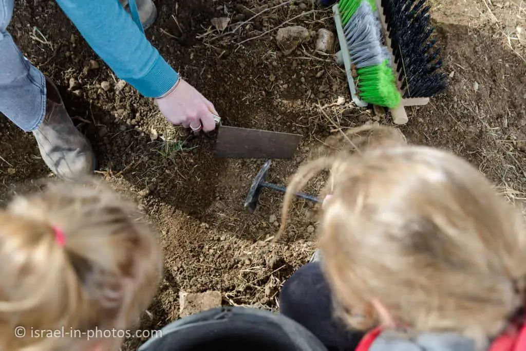
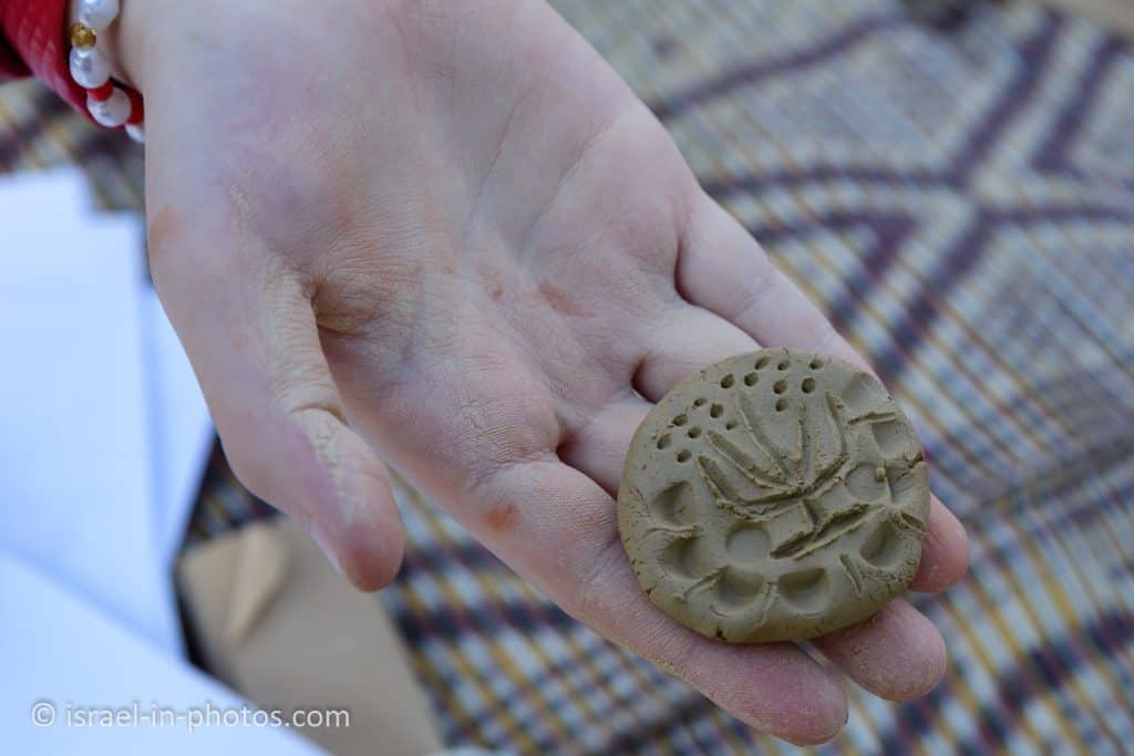
There were also activities for children, like painting and creating seals.
From Tel Jarmuth, we drove to Bet Gemal Monastery. But unfortunately, it was closed. We visited it on another occasion, and you can find all details at Bet Gemal Monastery.
Summary
Tel Jarmuth is a unique place. You cannot find such Early Bronze construction anywhere else in Israel. And I hope they will add explanatory signs and other visualization means during the archeological park’s creation. Meanwhile, you can read my blog ;)
This area has many attractions. You can explore them using the interactive map above.
Have you visited Tel Jarmuth? Tell us in the comment below about your experience.
That’s all for today, and I’ll see you in future travels!
Stay Tuned!
Additional Resources
Here are several resources that I created to help travelers:- Trip Planner with Attractions and Itineraries is the page that will help you create your perfect travel route.
- What is the Best Time to visit Israel? To answer this question, we will consider the weather, prices, holidays, festivals, and more.
- Information and Tips for Tourists to Israel will answer the most common questions tourists have about Israel (including safety, passports, weather, currency, tipping, electricity, and much more).
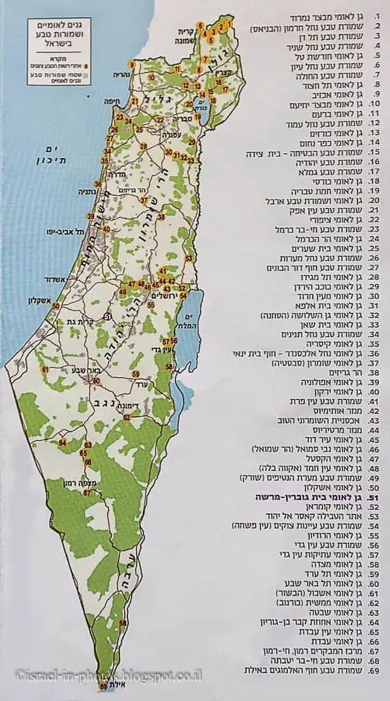
- Israel National Parks and Nature Reserves include a complete list, top ten, map, tickets (Israel Pass, Matmon, combo), and campsites.
- If you are looking for things to do, here are the pages for Jerusalem, Tel Aviv, Haifa, Sea Of Galilee, Akko (Acre), Eilat, Nazareth, Safed (Tzfat), and Makhtesh Ramon.


