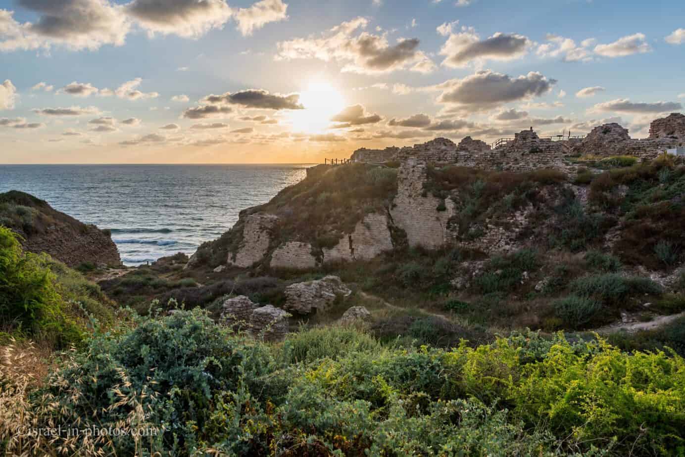
Apollonia National Park (Arsuf Fortress) – Visitors Guide

Apollonia National Park (Arsuf), located north of Herzliya, features a seaside Crusader Fortress and a wheelchair-accessible path.
Map
Apollonia (Arsuf) National Park is located on the Mediterranean seashore north of Herzliya and about 30 km south of Caesarea. It is situated on Kurkar (calcareous sandstone), about 30 meters above sea level.
You can get directions using the following links, and there is free parking near the site’s entrance.
Directions for drivers: Link to Waze and Link to Google Maps
Directions for public transport: Link to Moovit
Interactive map of the area:
Here is a map of the national park (from the official brochure):

As you can see from the map’s scale (50 meters), this national park is not big. The length of the trail is around 2 km.
Opening Hours
Sunday – Thursday and Saturday: 8:00 – 17:00 (16:00 in winter).
Friday: 8:00 – 16:00 (15:00 in winter).
On holiday eves, usually 8:00 – 13:00.
Note: Since the pandemic, the Israel Nature and Parks Authority has started limiting the number of people in each park. Thus, reservations are recommended through the official site (you can find the link below).
Entrance Fee
Adult 24 NIS, child 10 NIS, and student 20 NIS. Free for National Parks annual subscribers.
If you visit multiple National Parks, consider purchasing a combo ticket. Additional information is available at National Parks and Nature Reserves.
Note: opening hours and ticket prices were updated in May 2024. In any case, recheck the official site before visiting.
Contact Information
Phone: 09-9550929
Website: official site

Tours
As in other national parks, the Israeli Nature And Parks Authority occasionally offers free tours (at no extra cost beyond the entrance fee). These tours are usually during Spring, Summer Weekends, and Holidays. For additional information about the tours and concerts, visit the official site or call the Central District Training Unit at 08-6220835.
Concerts
During the summer, the inner part of the fortress becomes a small concert hall. The shows are usually held in the summer evening during sunset (around 19:00 – 20:00). Since it is after the closing hours of the national park, you need to buy dedicated tickets. Several years ago, we attended a concert costing around 60 NIS per person. For such a price, you will not get top-rank performers but a lovely Jazz band with a sunset view and a sea breeze. And if you come early, you will also have time (about half an hour to maybe an hour) to walk in the park. You can find the timetable of the performers on the official site during the summer.
Wheelchair-accessible Trail
Recently, the park was upgraded, and a new road for wheelchair users was built. Hence, you can visit almost the whole park with a baby stroller.
Moat
As you enter the site, you will see a dry moat that protected the Crusader’s town.


The city moat – the southern side of the city moat was excavated in 1998 and helped us to estimate the size and strength of the city in Crusader times. In 1996 the eastern city gate, which still lies in grounds belonging to IMI (Israel Military Industries), was excavated. The moat can be seen to continue beyond the excavated area, and it is about 4.5 m deep.
Note: unless stated otherwise, all quotes were taken from the official site.
Samaritan Synagogue
Near the end of the city moat, you can find the remains of a Samaritan Synagogue.
The mosaic floor from the Byzantine period (4th-5th centuries CE) is probably a relic of a Samaritan synagogue. This assumption is based on the bilingual inscription (Greek and Aramaic in the Samaritan script) at its center. While the translation of the Greek is “One only god / who helps / Gadiona / and lulianus / and all who deserve it,” that of the Aramaic (written in Samaritan script) may be translated as “(made it from his) possession in this place.” A rounded niche set in the southern wall of the building (mihrab?) may imply that the building served as a Muslim house of worship in the Early Islamic period (7th-8th centuries CE).
Source: sign


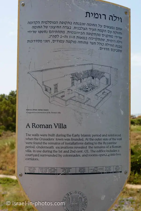
Roman Villa
Near the viewpoint shown in the photo above, you can find the Roman Villa.
The Roman seaside villa—At the beginning of the 1980s, a small part of the Roman villa was excavated, but it was only after intensive excavations in 1998 that the villa was revealed in all its glory. The Roman villa, overlooking the sea, is dated to the 1st century CE and was destroyed in an earthquake in 118 CE.

Here are several additional photos from the park: