Ashdod Beach – Visitors Guide
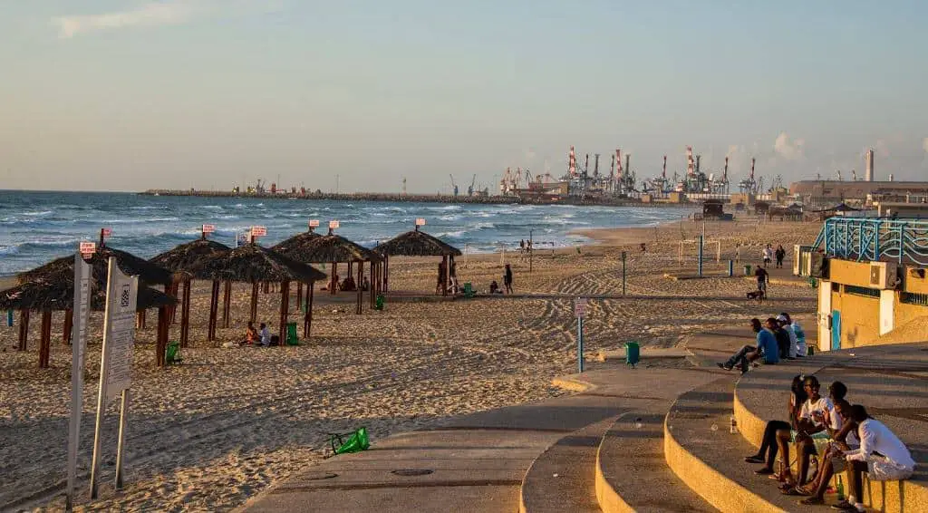
Ashdod is the fifth-largest city in Israel. It is located in the Southern District of the country, on the Mediterranean coast, about 30 km south of Tel Aviv. Ashdod Beach is one of the bigger and the less used ones. Due to this fact, we sometimes go for a swim at Ashdod Beach.
Directions for drivers: Link to Waze and Link to Google Maps
Directions for public transport: Link to Moovit
Interactive map of the area:
Ashdod has one of the longest sea shores, and as far as I remember, 13 km of sand and sea. Despite the efforts of local authorities to convert it into a tourist location, so far, it was not successful. Thus, the most population on the beach is local. Also, if you come by car, there is ample free parking.
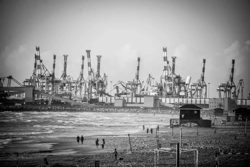
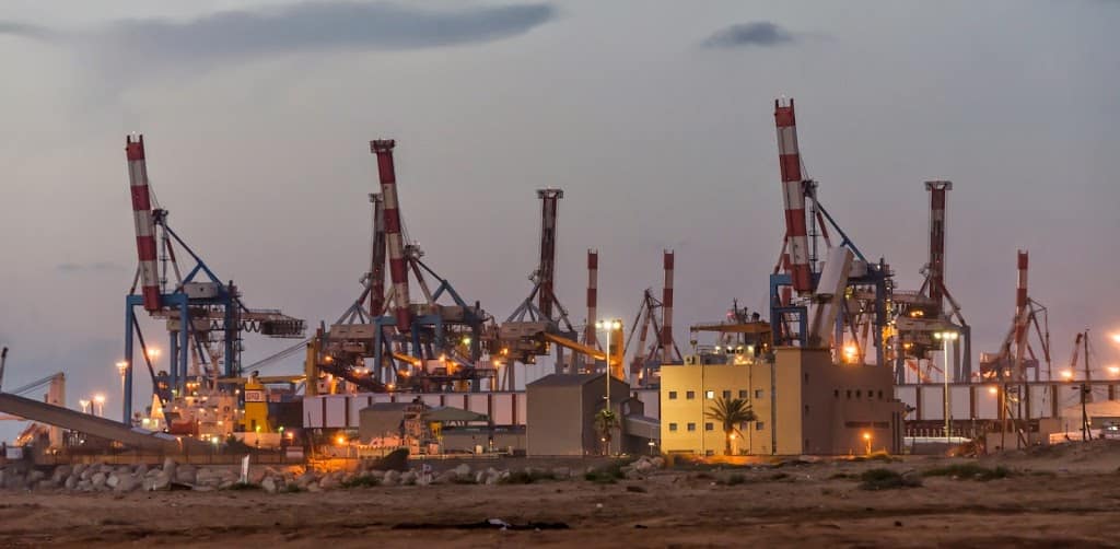
Ashdod is an important regional industrial center. The Port of Ashdod is Israel’s largest port, accounting for 60% of the country’s imported goods.
But, what most people don’t know is that Ashdod is one of the oldest in the world. The first documented settlement dates to the Canaanite culture of the 17th century BCE. Also, Ashdod is mentioned 13 times in the Bible. During its history, the city was settled by the Philistines, Israelites, Byzantines, Crusaders, and Arabs.
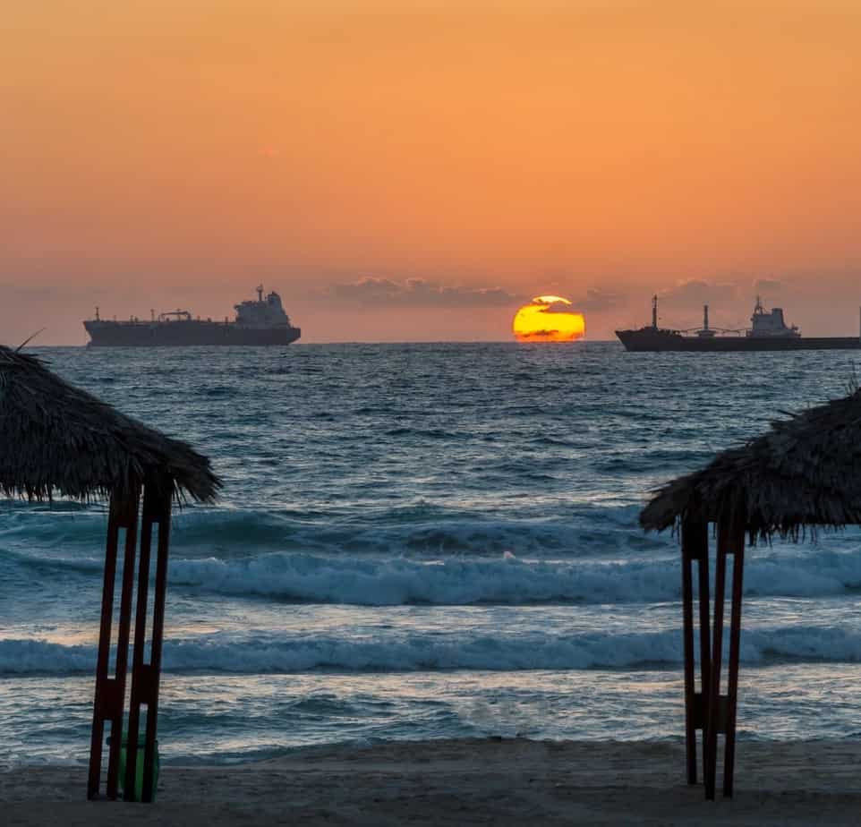
Here is a small taste:
That’s all for today. Stay Tuned!
For additional attractions nearby, see the interactive map.
Additional Resources
Here are several resources that I created to help travelers:- Trip Planner with Attractions and Itineraries is the page that will help you create your perfect travel route.
- What is the Best Time to visit Israel? To answer this question, we will consider the weather, prices, holidays, festivals, and more.
- Information and Tips for Tourists to Israel will answer the most common questions tourists have about Israel (including safety, passports, weather, currency, tipping, electricity, and much more).
- Israel National Parks and Nature Reserves include a complete list, top ten, map, tickets (Israel Pass, Matmon, combo), and campsites.
- If you are looking for things to do, here are the pages for Jerusalem, Tel Aviv, Haifa, Sea Of Galilee, Akko (Acre), Eilat, Nazareth, Safed (Tzfat), and Makhtesh Ramon.