Ramat HaNadiv – Memorial Gardens and Hiking Trails
Ramat HaNadiv (HaNadiv Gardens) is a nature park with memorial gardens near Zichron Yaakov. It offers hiking trails and cycling paths.
Table of Contents
Map
Ramat HaNadiv is located at the southern end of Mount Carmel, south of Zichron Yaakov and north of Binyamina.
Directions for drivers: Link to Waze and Link to Google Maps
Directions for public transport: Link to Moovit
Interactive map of the area:
HaNadiv Gardens consists of memorial gardens and a nature park. The memorial gardens are roughly in the middle, and you can use them as the starting and ending points for hiking and cycling trails across the nature park.
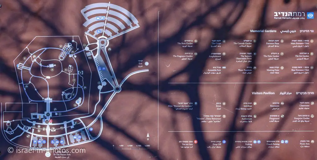
Here is a map of the whole compound:
Here is a map of the memorial gardens:
Note: You can click on the maps to enlarge them.
Opening Hours
Sunday – Thursday and Saturday: 8:00 – 16:00
Friday: 8:00 – 14:00
Notes:
- On Saturday, the crypt is closed.
- You can find the full opening hours (including holidays) at the official site.


Here are the restrictions that apply to the memorial garden:
- Food is prohibited.
- Flying drones is not permitted.
- No Pets (including dogs).
- Playing ball is prohibited.
- Bicycles and roller skates are not permitted.
- No smoking.
Fires and barbecues are prohibited throughout the entire compound, even in the picnic area.
Contact Information
Phone: 04-6298111
Email: info@ramathanadiv.org.il
Entrance Fee
Admission to Ramat HaNadiv is free, but parking requires payment.
Parking
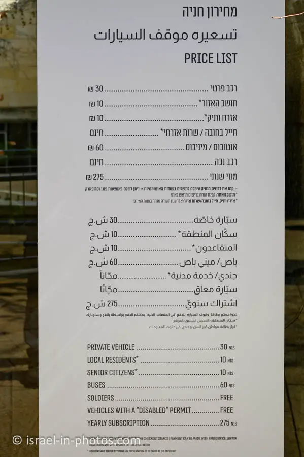
The parking lot is no longer free. Here is the price list:
Private vehicle – 30 NIS per day
Local residents and Senior citizens – 10 NIS per day
Notes:
- You must register at the official site to receive the discount (10 NIS daily).
- Opening hours and parking fee rates were updated in March 2025.
Trails
In this section, we will go over the hiking map and the tracks in this area. Here is an interactive map from israelhiking.osm.org.il:
Ramat HaNadiv offers three hiking loop trails. They all start east to the memorial gardens. The main trails are:
| Name | Color | Main Points of Interest | Length (km) | Approximate hiking time (hours) | Level |
|---|---|---|---|---|---|
| The Spring trail | Blue | Ein Tzur, ancient bathhouse, and other archaeological points of interest | 2 | 1.5 | Easy (families) |
| The Manor trail | Red | Horvat Aqav | 3.5 | 2 | Easy |
| The Vultures trail | Green | Rich fauna and acclimatization cage for raptors | 3.5 | 2.5 | Medium (fit walkers) |
Note: You can also find hiking and cycling trails here.
The Nature Park offers visitors many pleasurable pursuits. Circular hiking trails of varying levels of difficulty are studded with observation points. Along the way, visitors can view Mediterranean scenery and remnants of ancient human settlements, discover a spring hidden amidst the greenery, and examine the special acclimatization cage where birds of prey are prepared for release back into nature as part of Ramat Hanadiv’s efforts to re-establish and preserve the fauna of the land of Israel.
Note: Unless stated otherwise, all quotes were taken from the official site.
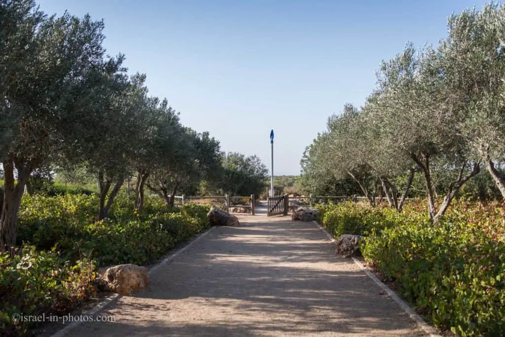
At the eastern parking, you can see this post with a small wind turbine at the top. It is the starting and the ending point of the trails.
Naming
To understand the Ramat HaNadiv references, we have to take a short historical dive.
Baron Edmond de Rothschild
Baron Edmond de Rothschild (1845-1934) was a major figure in establishing the modern State of Israel. Giving support to the Yishuv (the pre-State Jewish community in the land of Israel) became his life’s work and endured for many decades.
He acquired large tracts of land and sent expert agronomists from Europe to help the pioneering farmers. Forty-four villages were established with the support of the Baron and his descendants; among them are those that bear the names of Rothschild family members: Zikhron Ya’akov, named after the Baron’s father; Givat Ada, in honor of his wife Adelheid; and Binyamina – a tribute to the Baron himself.
In addition to supporting agricultural enterprises, the Baron left his indelible mark on the health, educational, and religious sectors of the Yishuv and early industrial development, establishing the first wineries and power plants in his effort to assist the Jewish community towards independence.The Baron’s death in 1934 at 89 marked the end of a long and full life. Some 20 years after his death on 6 April 1954, his remains and those of his wife Adelheid were brought to Israel and re-interred at Ramat Hanadiv in a state ceremony with full honors.
To summarize, Ramat Hanadiv is a memorial to Baron Edmond de Rothschild.
The Memorial Gardens
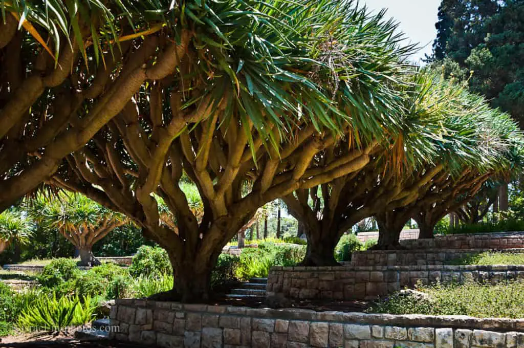
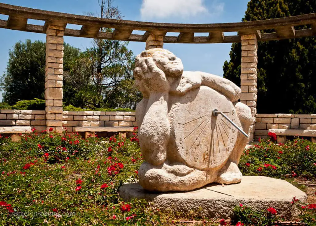
The Memorial Gardens beckon guests into a place of rare tranquillity. You may stroll the pathways here among exquisitely landscaped gardens and breathe their fragrance throughout the year.
A gracious combination of European formality and Mediterranean-style vegetation, the Gardens reflect Baron de Rothschild’s legacy of dignity and modesty. At the crypt of the Baron and his wife, visitors can pay their respects to the man known as the ‘the Father of the Yishuv.’
Facilities at the Memorial Gardens
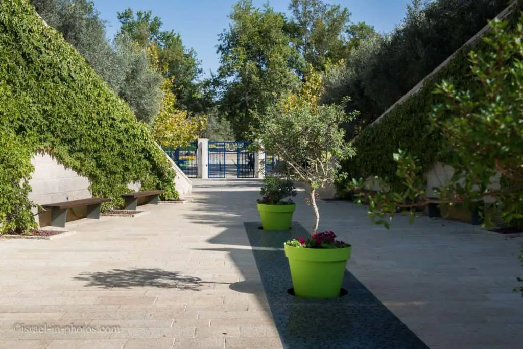
The memorial gardens have restrooms, drinking fountains, a playground for children, and picnic tables.
There is also a visitors’ pavilion with an auditorium. Inside, you can watch a 15-minute film to familiarize yourself with the gardens. This pavilion also has a shop, a restaurant, and a kiosk.
The Spring Trail – Blue Track
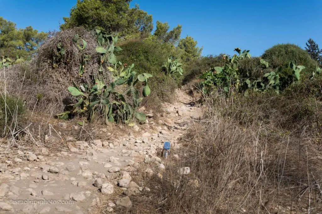
Let’s explore my favorite trail, the Spring Trail. The blue marking is visible in the following photo.
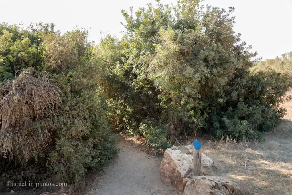

The spring trail is on quite a level ground and suitable for families. Nonetheless, I would suggest taking appropriate shoes, plenty of water, hats, and sunscreen.
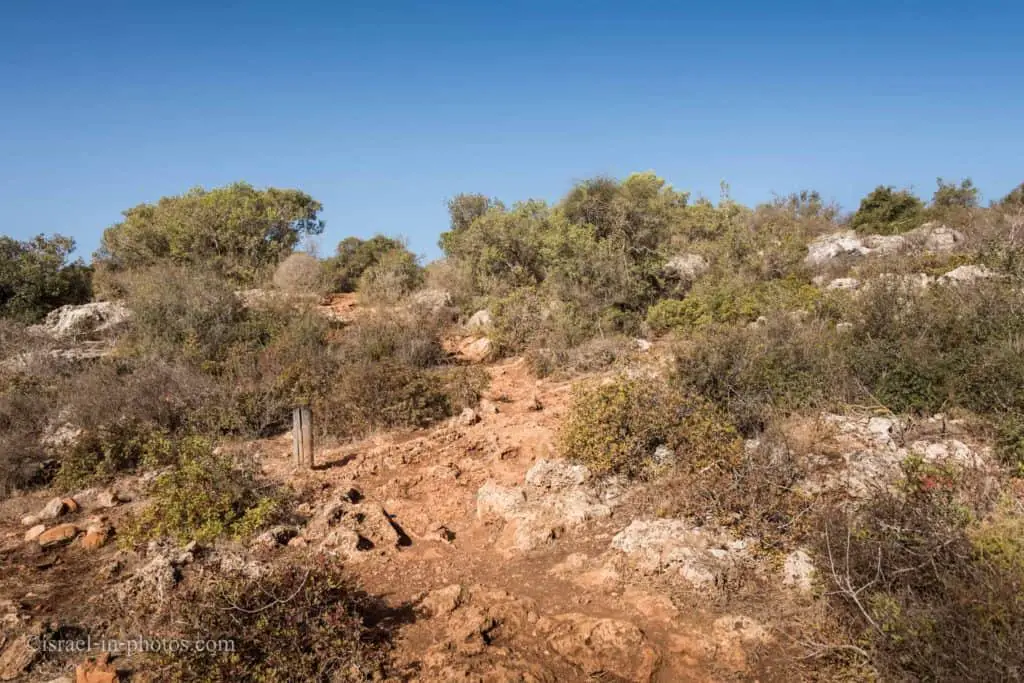

Ein Tzur
One of the main points of interest along the Spring Trail is the Ein Tzur spring and water system.
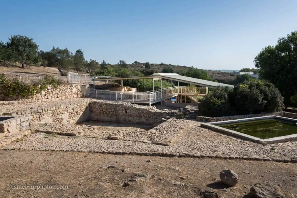
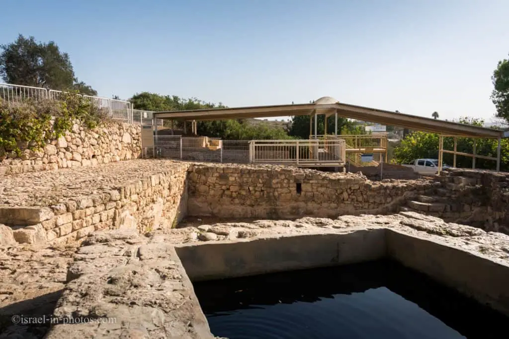
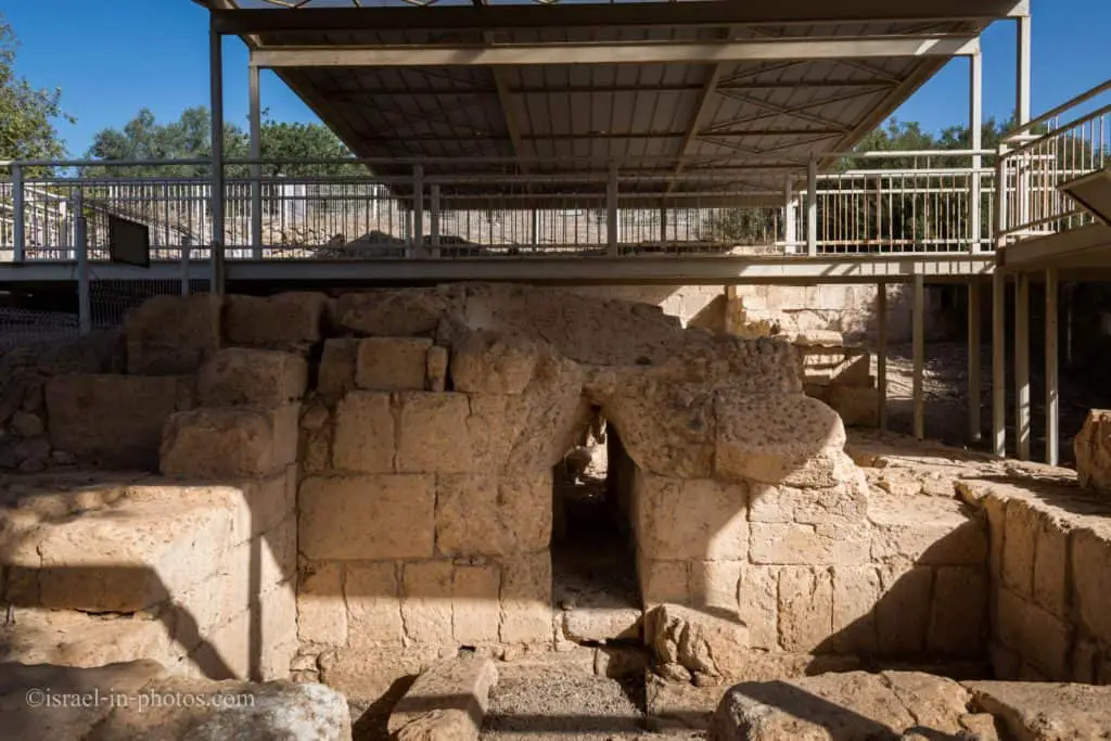
The photo above shows the remains of pools and a Roman bathhouse that receives water from the Ein Tzur aqueduct.
Ein Tzur Water System
In the Ein Tzur tunnel, there are three shafts, 11 meters apart. They were hewn out of the bedrock to illuminate and ventilate the dark tunnel and to facilitate water system maintenance. The tunnel takes a winding, 47-meter-long route along a natural fissure in the bedrock, the source of the water.
In the winter of 2001, a flood caused damage to the tunnel’s roof. A pillar was erected at the entrance to the tunnel to reinforce the roof. It was based on the example of an ancient pillar next to the first shaft.
Throughout the Roman period, water accumulated in the tunnel, possibly for use as a ritual bath. To raise the water level and create a pool within, the opening of the tunnel was blocked. Some 2,100 coins from the Byzantine period (324-638 CE) were discovered beneath this tunnel. A historical source from that period (the ‘Bordeaux Pilgrim’) attributes healing powers to the spring at Har Sinai, near Caesarea. It was likely the pool that attracted pilgrims in those days. Women came to bathe here, hoping to enhance their fertility and dropped the coins into it.
The large reservoir at the end of the aqueduct supplied water to the bathhouse and fields as well as to the bathing pool. When Beit Khouri was established above the archaeological site (approximately 1880), the Ein Tzur reservoir was moved to a new pool built of stone west of the Roman pool, and its water was pumped up the hill to the farmhouse. In 1939, a group of young Jews from the Betar youth movement founded a small ‘stockade and tower’ settlement on the hilltop east of the spring, which they named Tel Tzur Hahadasha (the New Tel Tzur). Near the Roman pool, they built an additional one of concrete, which provided for the settlement’s water needs. As mentioned above, one can visit the historic Tel Tzur site on the trail marked in yellow, which exits from the brook area.

The Bathhouse
You can find explanation signs in Hebrew, English, and Arabic at significant points of interest.
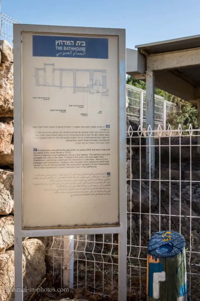

In front of us is the bathhouse dating from the Roman period. Its water supply came from the adjacent Ein Tzur spring, enabling the residents of the Horvat ‘Aleq site to bathe in hot water. The structure is divided into four long, consecutive rooms. From the entrance, bathers walked down seven steps to the dressing room (apodyterium). After immersing themselves in cold water, they entered the warm room (tepidarium), then moved on to the hot bath or sauna (caldarium). Note the many short columns here: they raised the floor level so that the warm air generated by the heating installation next door could circulate into the space beneath the floor and heat the room.
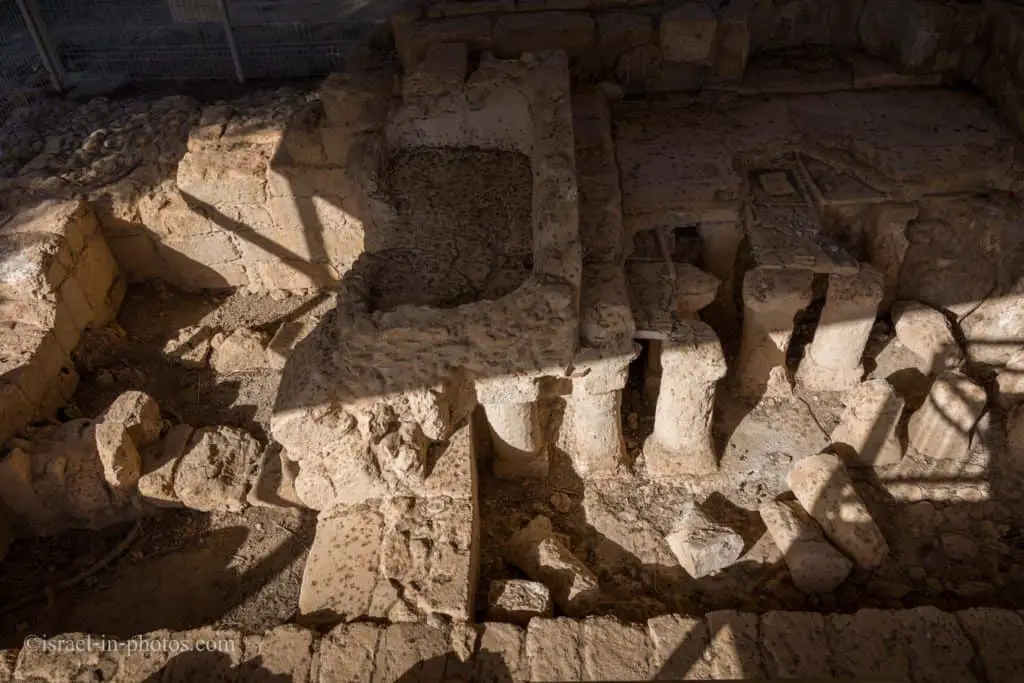
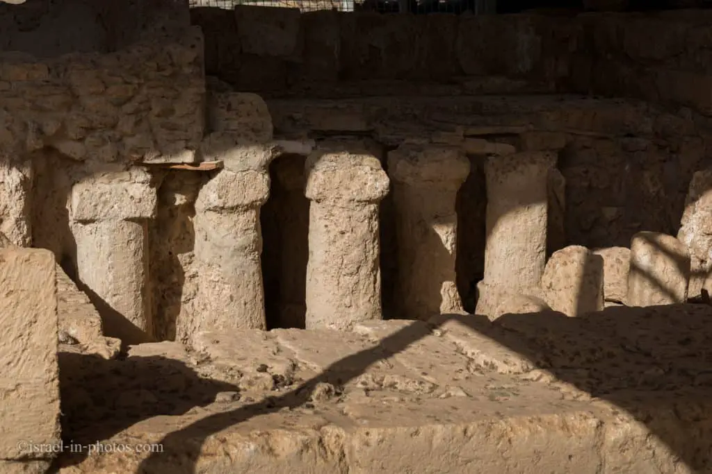

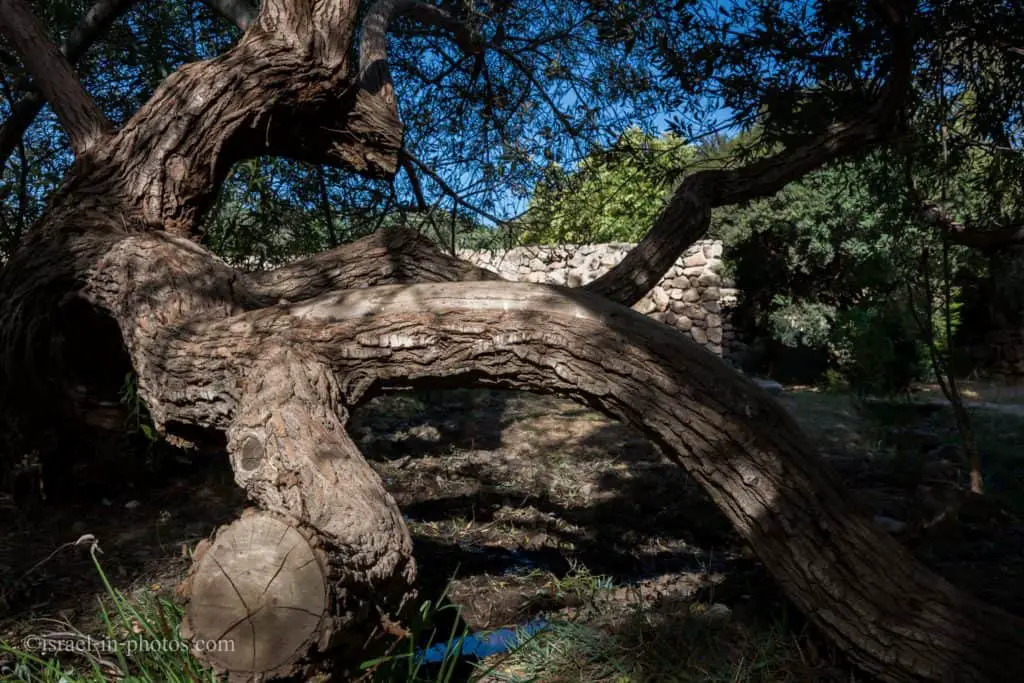

From the bathhouse, we continued to Horvat Aleq.
Horvat Aleq Archaeological Complex
Archaeologists have discovered numerous treasures here. Strategically located next to a water source in a fertile agricultural region, this multi-layered site was already populated by humans in the prehistoric period, more than 10,000 years ago. The settlement continued to be inhabited until the 2nd century CE, through the Iron Age and the Persian, Hellenistic, and Roman periods. The site has been reconstructed as it was when it reached its acme in the early Hellenistic period. The remains of the original stockades and towers that surrounded it then are evident in the area. The settlement was renewed towards the end of the Ottoman era with the establishment of the village of Umm el-‘Aleq. Archaeological findings bear witness to the extended, ongoing habitation of this place and the residents’ long lives during the different periods of settlement.

Beit Khouri
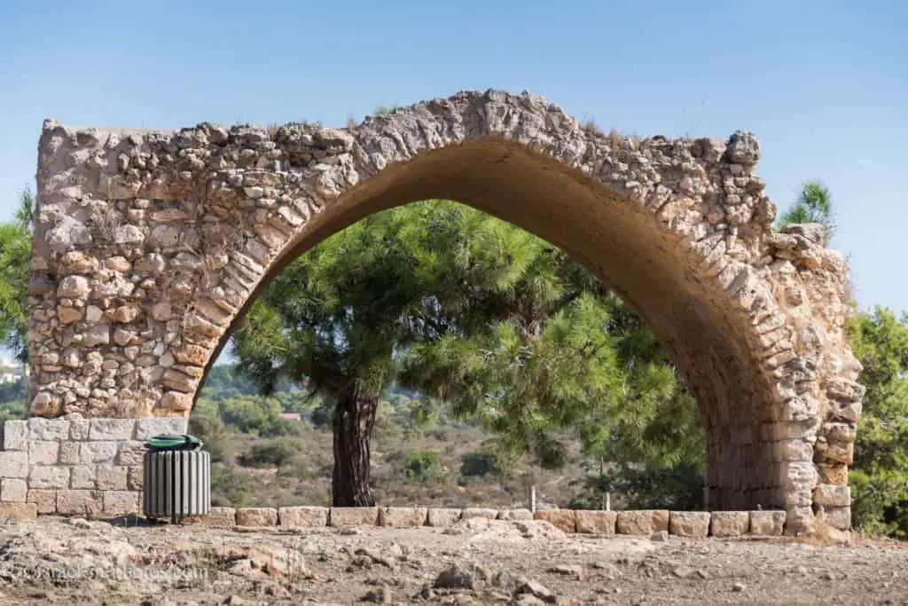
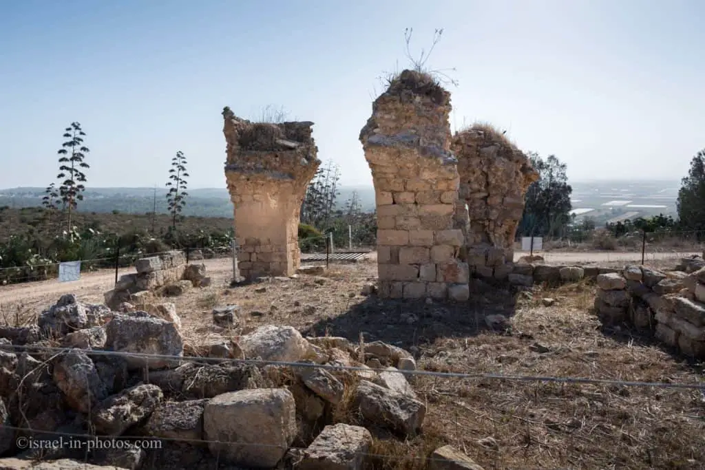
This structure is the remnant of a large farmhouse built by the El-Khouri family around 1880. It was constructed, room by room, around an internal courtyard. Most of the building stones were taken from the ancient farmhouse at Horvat Aqav. Though the El-Khouris themselves were Christian, they built a mosque for their Muslim tenants, the large hall standing on the south side of the manor house.
In 1913, the Jewish Colonisation Association (ICA) purchased the El-Khouri farm on behalf of Baron Edmond de Rothschild. Today the farmhouse and lands surrounding it are part of the grounds of Ramat Hanadiv.
From 1919-23, three groups of Jewish pioneers settled here. Due to the difficult conditions, however, their settlement experiments did not succeed. Remains found at the manor house document the lives of the pioneers: the floor (cast in 1920) of the mosque hall, which served them as a dining room, and the charred brick oven, which can still be seen in the kitchen.


Ancient Quarries
The trail’s last point of interest (#10) is the ancient quarries.
Within Ramat Hanadiv’s perimeters are many limestone quarries; they supplied building stones for the ancient settlements here and perhaps those nearby. The limestone layer that yielded the construction stones was no more than six meters deep. When miners reached the soft bedrock beneath the limestone, they left their shallow quarries behind and went elsewhere to mine. Over time, most of the quarries were buried in soil and vegetation; others turned into seasonal pools in rainy winters and served as habitats for frogs, toads, and other aquatic creatures.

From the ancient quarries, the trail leads you back to the starting point. And not let’s visit the manor trail.
The Manor Trail – Red Path
On another occasion, we hiked the Manor trail.

The Cypress Grove
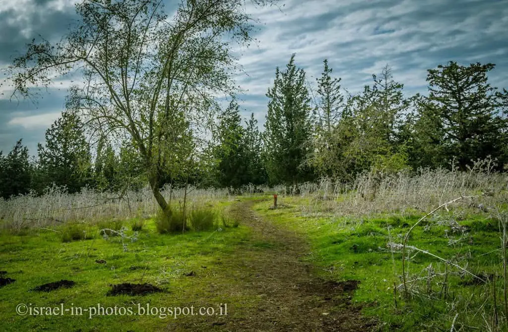
The cypress (Cupressus sempervirens) tree is a Mediterranean native. There are two types, and both are found in this section. The wide-branched horizontal cypress (Cupressus sempervirens horizontal) and the upright, cultivated form (Cupressus sempervirens stricta), with branches that grow close to the trunk – a familiar sight in Mediterranean landscapes and agricultural regions, where it serves as a protective windbreak.
Among the cypresses grow native Christ’s-thorn jujube (Ziziphus spina-christi), thorny trees bear small round fruits.
Several rare species of plants have been discovered clustered in the cypress grove, including two sages (Salvia eiggii and Salvia pinnata), as well as tumble garlic (Allium schubertii) and Lachnophyllum noaeanum, a local representative of the daisy family (Asteraceae). Scientists believe these species could establish themselves here during the long years when the land was cultivated with traditional tools, which ploughed only shallow furrows. When the old-fashioned methods were largely replaced by more modern, intensive agriculture – based on deep, frequent ploughing and chemical fertilizers and weed-killers – these species began to disappear from the region.The trail leaves the cypress grove, crosses a dirt road, and enters a densely planted pine forest. The forest has been thinned out, and spiny brooms have taken the place of most of the pine trees. From here, the trail turns left, traverses a dirt road, and ascends, via wooden stairs and an agricultural terrace, to Horvat Aqav (Station #3).

Note: If this is your first time in Ramat HaNadiv, I suggest taking the Spring trail, which has more points of interest.
Horvat Aqav
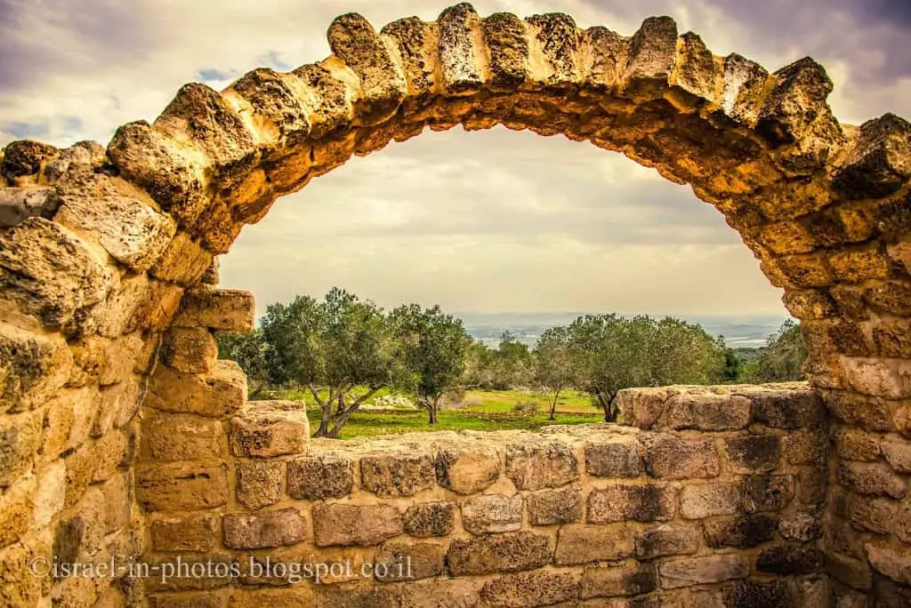
This is the highest point of Ramat Hanadiv, 141 meters above sea level. It is Hebrew name comes from the Arabic one, Hirbat Mansour el-‘Eqeb. In front of it is a sign with text in red describing the site during the Second Temple period (1st century CE). The green text gives the history of the rustic manor house built during the Byzantine period on the remains of the earlier farmstead.
Professor Yizhar Hirshfeld directed the archaeological excavations from 1984 to 87. Shards from the Persian period (5th and 3rd centuries BCE), buried beneath the farmstead’s walls, indicate that it may have served previously as a ritual site. In the late 19th century, most of the original building stones were removed and used for the construction of Beit Khouri.
The archaeological site was rehabilitated in memory of Amschel Rothschild, who died in 1996. Olive trees, figs, and grapevines – important crops throughout the land of Israel in early times – have been planted, along with Mediterranean herbs like wild marjoram (Majorana syriaca), Cretan germander (Teucrium creticum), and African rue (Ruta chalepensis).
At Horvat Aqav, you can also see Mikvah, winepress, oil press, and stunning views.

Coastal Panorama
For hundreds of years, the Carmel coastal plain was nothing more than a malarial swamp. Baron Edmond de Rothschild envisioned a strip of dry, cultivated land stretching from what is now Ramat Hanadiv to Hadera. He began to realize his vision in 1921 with the draining of the Kabara swamps. In the years since then, agricultural fields, banana plantations, and fish ponds have taken the place of the swamps, but you can see where they once were by the gray soil in the distance. The green stripe cutting across the plain is Wadi Taninim.
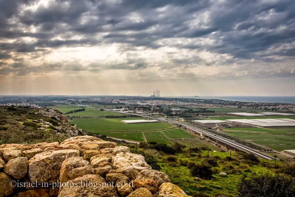
To the north of the power station, you can see Caesarea and Caesarea National Park. A little further to the north, you can find Taninim Stream Nature Reserve.

We hiked the trail from the observation point until we returned to the starting point.
Summary
Ramat HaNadiv is a lovely place to visit. It has beautiful gardens and a variety of hiking and cycling trails. We enjoyed our visits and keep returning.
Have you ever been to Ramat HaNadiv? Tell us about your experience in the comments below.
That’s all for today, and I’ll see you on future travels!
Stay Tuned!
Additional Resources
Here are several resources that I created to help travelers:- Trip Planner with Attractions and Itineraries is the page that will help you create your perfect travel route.
- What is the Best Time to visit Israel? To answer this question, we will consider the weather, prices, holidays, festivals, and more.
- Information and Tips for Tourists to Israel will answer the most common questions tourists have about Israel (including safety, passports, weather, currency, tipping, electricity, and much more).
- Israel National Parks and Nature Reserves include a complete list, top ten, map, tickets (Israel Pass, Matmon, combo), and campsites.
- If you are looking for things to do, here are the pages for Jerusalem, Tel Aviv, Haifa, Sea Of Galilee, Akko (Acre), Eilat, Nazareth, Safed (Tzfat), and Makhtesh Ramon.

