Tel Yodfat National Park (Jotapata) – Visitors Guide
Tel Yodfat and Mount Atzmon offer lovely loop tracks through the Hellenistic city of Jotapata and the surrounding mountains.
Table of Contents
- 1 Map
- 2 Tracks
- 3 Directions
- 4 Opening Hours
- 5 Entrance Fee
- 6 When to Visit Tel Yodfat National Park?
- 7 Basic Info
- 8 History
- 9 Flavius Josephus – Yosef ben Matityahu
- 10 Siege of Jotapata
- 11 Cisterns
- 12 Cistern and Ritual Bath (Mikveh)
- 13 Residential Area
- 14 Western Wall and Pottery Kiln
- 15 The Hiding Space
- 16 The Northeastern Wall
- 17 Mount Atzmon Nature Reserve
- 18 Summary
Map
Tel Yodfat National Park is located near the modern Moshav Yodfat in Lower Galilee. And if you have been following my blog for a while, you will remember our previous visit to the town. On that occasion, we visited Monkey Forest in Yodfat.
Directions for drivers: Link to Waze and Link to Google Maps
Directions for public transport: Link to Moovit
Interactive map of the area:
Tracks
Near the entrance to the Tel, you can find the following map.
Note: you can click on the map to enlarge it.
On the map above, you can see three hiking tracks.
- The red path is the shortest hike. It takes about fifteen minutes, and it is also an accessible trail.
- The green trail takes about an hour. And it leads you through most of the points of interest on top of the Tel.
- The black pathway is the longest of the three. It adds several points of interest to the green trail and takes about an hour and a half.
Note: the name of this national park includes the word Tel. Tel is a hill created by many generations living and rebuilding in the same spot. You can find additional information at Tel Megiddo National Park.
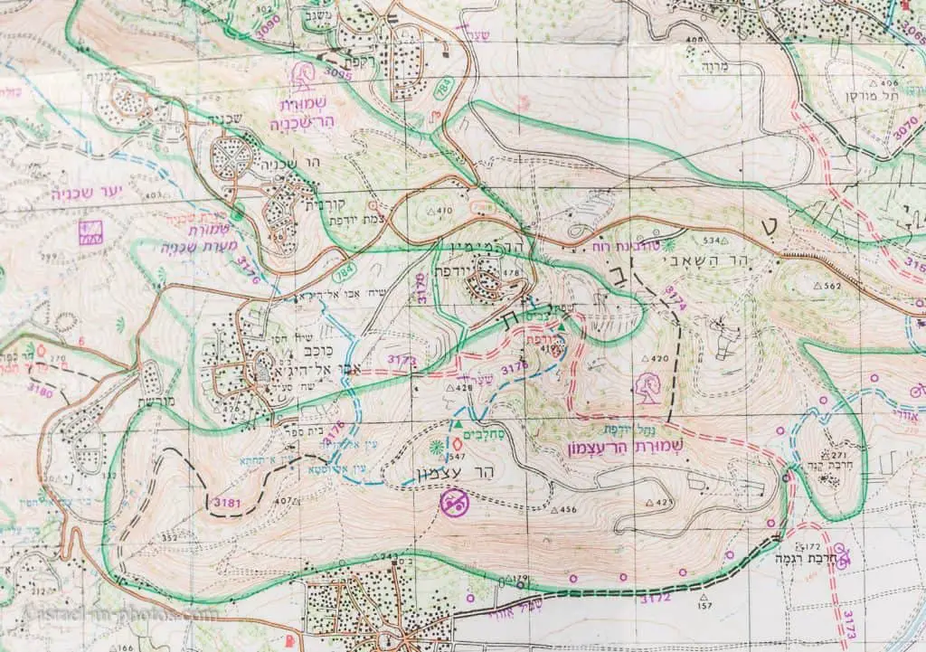
While we are in this section, I want to show a trail map of this area. And if you want to learn more about this map and other digital resources, check out Israel Hiking Maps.
Note: this is a photo from our trail map. We had it with us since we wanted to make a combined hike of Tel Yodfat and Mount Atzmon.
Here is an interactive map from israelhiking.osm.org.il, where the Tel Yodfat and Mount Atzmon track is marked. The marked trail length is 4.7 km, including a total climb of 266 meters.
Directions
If you are reaching by car, enter “Tel Yodfat National Park” into Waze or Google Maps, and it will take you to the free parking near the Tel.
The road to Tel Yodfat is the same as Yodfat itself, up to where you leave road #7955 and turn to the city. Soon after the #7955 turn, you will see a turn to the left with the sign to the Tel. Following that dirt road for five minutes will lead you to the Tel.
If you use public transport, you can take a bus to Yodfat junction (#262, #242, and others). But Yodfat junction is not that close, and the distance to the National Park is slightly more than three kilometers. Here is already a preset link to Moovit. Just enter your starting point, and you will get the updated directions.
Opening Hours
It is an open national park. There is no entrance fee. And you can visit it whenever you like. But, since there is no artificial light, you should visit only during the daytime.
Entrance Fee
Free.
When to Visit Tel Yodfat National Park?
As I wrote in Events And Festivals By Season, Spring is the best time for a visit. Also, remember that there is almost no shade along the trails. Thus wear heats, use sunscreen, and take plenty of water.
Basic Info
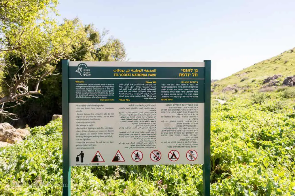
The Hellenistic city of Jotapata stood on this hill during the Second Temple period. The Hasmonean dynasty kings conquered it in the late second century BCE, and its name was changed to Yodfat. Josephus Flavius fortified the city during the Great Revolt against the Romans, and in 67 CE, it fell to the Romans after a fierce battle.
Source: sign
History
Here is a historical extract from Wikipedia.
Jotapata
Ancient Yodfat (Jotapata), situated to the southeast of the modern moshav, is mentioned in the Mishna as a fortified Jewish village dating from the time of Joshua, corresponding with the Iron Age. However, archaeological explorations of the site have thus far revealed a modest village established sometime during the Hellenistic period, between the 4th and 3rd centuries BCE. As the Hasmonean kings extended their influence into the Galilee during the last decades of the 2nd century BCE, a change of population occurred at Yodfat, and Jews populated the village.
According to the Mishnah, the town of Yodfat was encompassed by a wall before the Israelite conquest of Canaan under Joshua.
Greeks called it Iotapata.
Classic era
By the first century CE, Yodfat had expanded to encompass 50 dunams (13 acres). Its siege and subsequent destruction in 67 CE are described in Josephus Flavius’ The Wars of the Jews, his chronicle of the Great Jewish Revolt against the Romans. Led by future emperor Vespasian, three Roman legions — Legio V Macedonica, X Fretensis, and XV Apollinaris — besieged Yodfat, meeting strong Jewish resistance. After 47 days, the city fell by treachery, and Josephus describes the death of 40,000 Jews and the enslavement of 1,200 women and children. Yodfat was razed and burnt on the first of the Hebrew month of Tammuz. While a few dozen remaining fighters committed suicide, Josephus managed to survive this pact and was captured by the Romans.
After its capture by the Romans, Yodfat was re-established at a nearby site by refugees from Jerusalem, among them the priestly family of Miyamin. This town is mentioned in the Talmud as the home of Rabbi Menachem of Jotapata (Zev. 110b). It flourished for another 300 years before being destroyed once again. After that, the village lay in ruins until 1960.

Modern times
Yodfat was re-established in 1960 by graduates of the Hebrew Reali School of Haifa. It is currently a Jewish agricultural community, located about 1 km north-west of the ancient ruins.
The modern village was built by traditional Jews, seeking to preserve traditional values parallel to agricultural work. At first, the town was an observation site of the JNF, while its inhabitants were mostly the JNF employees. Later, the village became an agricultural society, with most of its residents working the nearby lands. By the 1990s, the village turned into a more massive communal center, with a wider variety of professions for its residents. Today it includes 200 families.

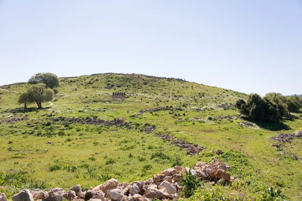
And now, let’s start climbing the Tel using the green trail (the photo above).
As we hiked, we saw many informational signs. There are also many metal signs with quotes from the book “The Wars of the Jews 3” by Yosef ben Matityahu, also known by his later name Titus Flavius Josephus. Thus, let’s talk about him.
Flavius Josephus – Yosef ben Matityahu
During the First Jewish – Roman War, Yosef ben Matityahu was the head of Jewish forces in Galilee. After a 47-day siege, Jotapata fell, and Yosef ben Matityahu became enslaved.
After receiving freedom from the Emperor, Josephus Josephus assumed the emperor’s family name. Thus he is also known as Josephus Flavius.
Josephus joined the Roman legions and recorded Jewish history. From his books, we know a lot about the Great Revolt. His books include descriptions of the fall of Jerusalem, the siege of Masada, and of course, Yodfat. Here is a summary from Wikipedia:
Titus Flavius Josephus, born Yosef ben Matityahu was a first-century Romano-Jewish historian born in Jerusalem—then part of Roman Judea—to a father of priestly descent and a mother who claimed royal ancestry.
He initially fought against the Romans during the First Jewish–Roman War as head of Jewish forces in Galilee, until surrendering in 67 CE to Roman forces led by Vespasian after the six-week siege of Jotapata. Josephus claimed the Jewish Messianic prophecies that initiated the First Roman-Jewish War referred to Vespasian becoming Emperor of Rome. In response, Vespasian decided to keep Josephus as a slave and presumably interpreter. After Vespasian became Emperor in 69 CE, he granted Josephus his freedom, at which time Josephus assumed the Emperor’s family name of Flavius.
Flavius Josephus fully defected to the Roman side and was granted Roman citizenship. He became an advisor and friend of Vespasian’s son Titus, serving as his translator when Titus led the Siege of Jerusalem in 70 CE. Since the siege proved ineffective at stopping the Jewish revolt, the city’s destruction and the looting and destruction of Herod’s Temple (Second Temple) soon followed.
Josephus recorded Jewish history, emphasizing the first century CE and the First Jewish–Roman War (66–70 CE), including the Siege of Masada. His most famous works were The Jewish War (c. 75) and Antiquities of the Jews (c. 94). The Jewish War recounts the Jewish revolt against Roman occupation. Antiquities of the Jews recount the world’s history from a Jewish perspective for an ostensibly Greek and Roman audience. These works provide valuable insight into first-century Judaism and Early Christianity’s background, although not explicitly mentioned by Josephus. Josephus’ works are the chief source next to the Bible for ancient Palestine’s history and antiquity.
Siege of Jotapata
As we climbed to Tel Yodfat, we could see the direction from which the Romans attacked.
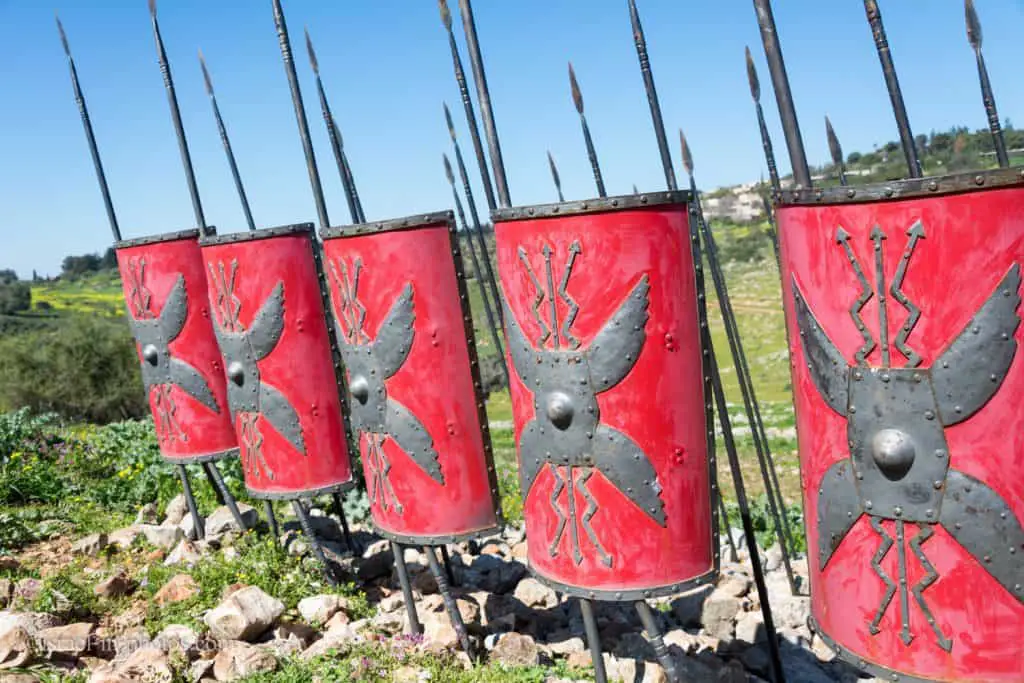
The Siege of Yodfat was a 47-day siege by Roman forces of the Jewish town of Yodfat, which took place in 67 CE, during the Great Revolt. Led by Roman General Vespasian and his son Titus, both future emperors, the siege ended with the sacking of the town, the deaths of most of its inhabitants, and the enslavement of the rest. It was the second bloodiest battle of the revolt, surpassed only by the Siege of Jerusalem, and the longest except for Jerusalem and Masada. The siege was chronicled by Josephus, who had personally commanded the Jewish forces at Yodfat and was subsequently captured by the Romans.
Source: Wikipedia
We will continue along the green trail to the point of interest #2, the casemate wall, and from there, we will have a good overview of the area.

Note: as you can see in the photo above, there are green and blue trail markings. The green trail goes around Tel Yodfat National Park, and the blue one leads to Mount Atzmon (see trail map above). And in this section, they go in the same direction.
In the following photo, you can see the view from the top of the Tel. You can see where the Roman legions attacked from, and further away, you can see the car parking.

Preparations for the Siege
Vespasian was eager to destroy Jotapata; for he was informed that the biggest number of the enemy had taken refuge there, and that in addition it was a strong base for their activities…
Titus meanwhile had sailed from Achaia to Alexandria in less time than is usual for a winter crossing. There he took over the force for which he had been sent, and marching at a great pace quickly reached Ptolemais. There he found his father, and to the two legions that accompanied him, the world-famous Fifth and Tenth, he united his own Fifteenth. To these legions were attached 18 cohorts; they were joined also by five cohorts and one troop of horse from Caesarea, and five troops from Syria. Of the cohorts ten were 1,000 infantry strong, the other thirteen 600 infantry and 120 cavalry. A large allied contingent was also contributed…
Thus the whole force, cavalry and infantry, including the men contributed by the kings, totaled 60,000, apart from servants who followed in great numbers.
Source: “The Wars of the Jews 3” by Yosef ben Matityahu
The Siege
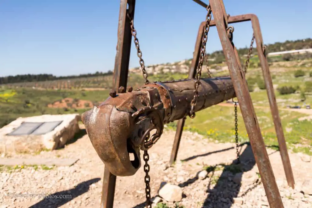
As time dragged on and the sorties continued, Vespasian felt it was he who was being besieged, and as the platforms were now getting near the walls he decided to bring up the Ram. …
So in order to bring within range the Jews on the wall who were trying to stop them, the Romans pushed forward their catapults and other engines and began to bombard them. The bowmen and slingers moved forward at the same time. As a result, no one dared mount the rampart, and this enabled other troops to bring up the Ram under the protection of overlapping hurdles covered with skins to safeguard both men and machine. The very first blow rocked the wall, and piercing shrieks were raised by those within as if the town had been captured already.
Source: “The Wars of the Jews 3” by Yosef ben Matityahu

In this struggle, one of the Jews distinguished himself in a way that calls for very special mention. His father’s name was Sarnia, his own Eleazar, his birthplace Saba in Galilee. This man raised a huge stone and flung it from the wall at the Batterer with such tremendous force that he broke off the head of the Ram. Then he leaped down and seizing the head under the noses of the enemy carried it back to the wall without turning a hair. A target now for all his foes and with no armor to protect his body from the rain of missiles, he was pierced by five shafts; but paying not the slightest regard to these he climbed the wall and stood there for all to admire his daring, then writhing with thy pain of his wounds fell to the ground with the Ram’s head still in his grip. Most conspicuous for courage after him were two brothers. Neiras and Philip, from the village of Ruma, Galilean, like Heater. They charged the ranks of the Tenth Legion, falling upon the Romans with such dash and fury that they broke through their lines and routed all who stood in their path.
Source: “The Wars of the Jews 3” by Yosef ben Matityahu
The Fall of Yodfat
On the 47th day of the siege, when the ramp surpassed the walls, a deserter went over to the Romans and disclosed the dire situation within Yodfat. Few defenders had remained, and these, worn out by their continuous fighting and vigilance, usually slept during the last watch of the night. At dawn on the very next day, the first of Panemus (July 20, 67), a band of Romans reportedly led by Titus himself stealthily scaled the walls, cut the throats of the watch, and opened the gates, letting in the entire Roman army. Taken by surprise, the Jews were furthermore confounded by a thick mist, and the Romans quickly took hold of the summit, pursuing the inhabitants down the eastern slope.
According to Josephus, 40,000 were slain or committed suicide, and 1,200 women and infants were taken into slavery, while the Romans suffered but a single fatality. Vespasian ordered the town demolished, and its walls were torn down. The Romans prohibited the burial of the fallen, and it was only a year or more later when Jews were allowed to return to bury the remains in caves and cisterns.
Yosef Ben-Matityahu had hidden in one of the caves that litter the site, along with 40 other prominent citizens of Yodfat. Although Ben-Matityahu was in favor of surrendering to the Romans, most of his comrades opted to kill themselves rather than fall into Roman hands. As suicide is considered sinful, they decided to draw lots to kill each other. Ben-Matityahu and another man were the last to survive, and both resolved to give themselves up. Taken to see the Roman general, Ben-Matityahu prophesied that Vespasian would one day become emperor. Vespasian subsequently spared the rebel leader, who began collaborating with the Romans. At first, a slave, he would later be freed and be granted Roman citizenship as Flavius Josephus.
Source: Wikipedia
Cisterns
After about five minutes of hiking, we reached the point of interest #3, public water cisterns.
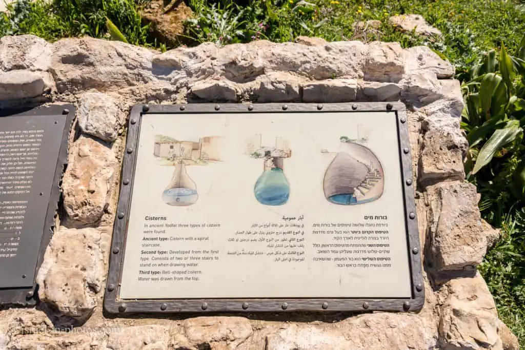
In the photo above, you can see three types of cisterns that were found in ancient Yodfat.
- Ancient type – a cistern with a spiral staircase (right image).
- The second type is a modification of the ancient kind. It has several stairs to stand on when drawing water (central image).
- The third type is a bell-shaped cistern. Its operation resembles a conventional well (left image).
Inside there was plenty of corn and all other necessaries except salt, but the water- supply was inadequate … and the townsfolk depended on rainwater.
Vespasian hoped that before long the tanks would be empty and the surrender of the town would inevitably follow. But Josephus determined to shatter this hope, ordered numbers of men to soak their outer garments and hang them round the battlements, so that the whole wall suddenly ran with water. The result was despondency and consternation in the Roman ranks, when they saw such a quantity of water thrown away in jest. … The commander-in chief himself despaired of capturing the town through shortage and reverted to armed onslaught. Nothing could have pleased the Jews better; for they had long despaired of saving the town or themselves, and dreaded hunger and thirst far more than death in battle.
Source: “The Wars of the Jews 3” by Yosef ben Matityahu

Cistern and Ritual Bath (Mikveh)
Our next stop was point of interest #4. The cistern and the Mikveh were probably in a private house.
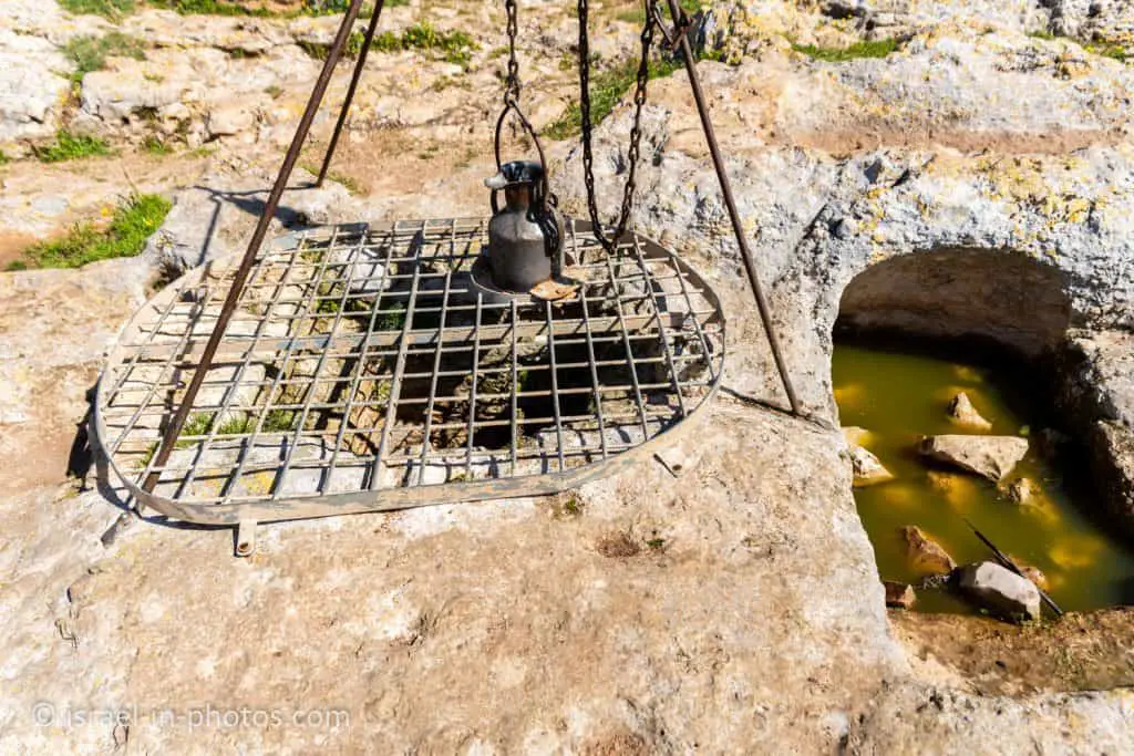
One interesting fact is that wells were near Mikveh. And if there was not enough water, well water could be added.

Residential Area
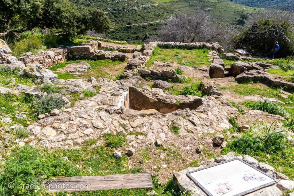
We continued with the green trail to the point of interest #8, the residential area.
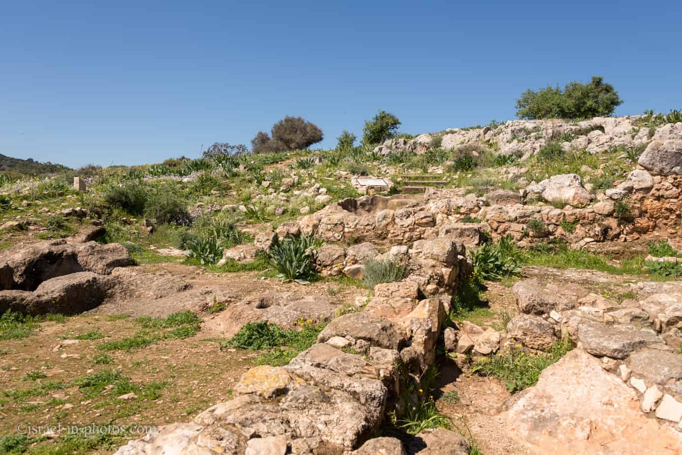
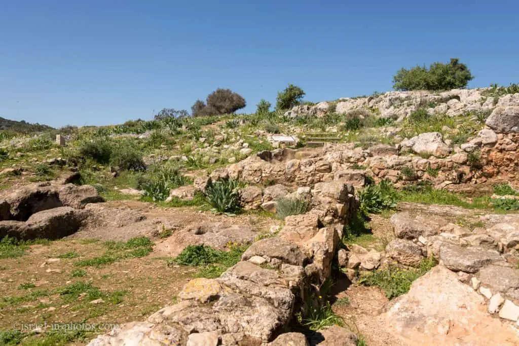
Two adjacent homes, each with a cistern and ritual bath. During the Second Temple period, olive oil was produced to be applied after ritual bathing. Much evidence of daily life was found here: kilns, pottery, stone vessels, and loom weights, attesting to a thriving weaving industry. The houses were evidently destroyed and burned, and in them, arrowheads and catapult stones were found, evidence of the town’s tragic demise.
Source: sign


Western Wall and Pottery Kiln
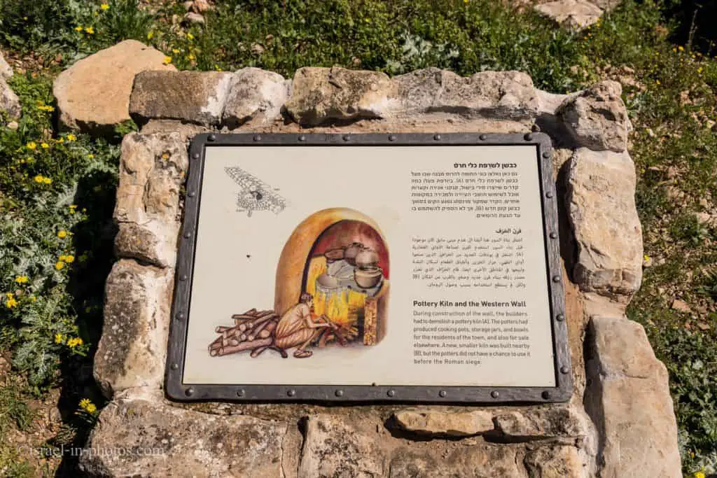
After a ten-minute walk, we reached the point of interest #7, the Western Wall and Pottery Kiln.

If you look at the map, leaving the green trail at point #8 and turning to the black path may seem strange. But we did so because of our plan, which included visiting Mount Atzmon. The blue trail that leads to Mount Atzmon starts between points #4 and #5. Making the hike this way allowed us to see more of Tel Yodfat.
During the construction of the wall, the builders had to demolish a pottery kiln (A). The potters had produced cooking pots, storage jars, and bowls for the town’s residents and for sale elsewhere. A new, smaller kiln was built nearby (B), but the potters did not have a chance to use it before the Roman siege.
Source: sign

The Hiding Space
Point of interest #6 is the Hiding Space.
Despite the sense of security afforded by the construction of the wall, some residents dug a shelter, a two-story, three-room hiding place under their home, with shafts and tunnels leading from one room to the other.
Here they stored food and clay vessels of water. A cache of silver and bronze coins was also discovered here, the latest of which were minted two years before the war.
Source: sign


On another occasion, we hiked using the red and green trails. Here are several photos from that visit:

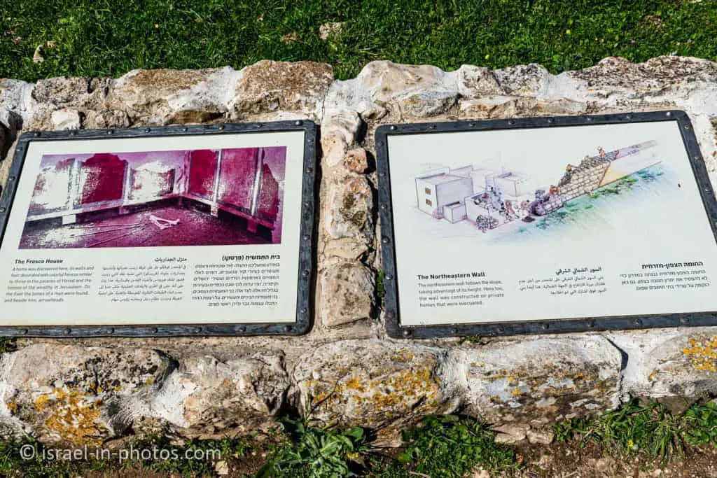
The Northeastern Wall


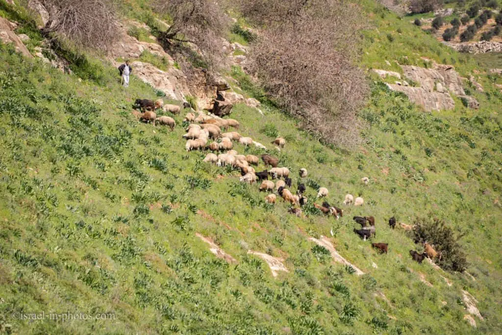
And if you will get lucky, then you will see sheep.

Mount Atzmon Nature Reserve
We saw the blue trail near the Hiding Space and used it to descend from the Tel.
Yodfat – Atzmon Trail
The plan was to start at the ancient Yodfat (marked as #419 on the trail map above). Afterward, use the blue trail to go down towards Nahal Yodfat and continue along the blue path to the top of Mount Atzmon (marked as #547 on the track map above). From the top of Mount Atzmon, we continue along the blue trail until we reach the red pathway. And the red dirt road leads us back to the parking of ancient Yodfat. This trail is around 6 km long, and in most cases, it will take four to five hours to complete.

Where the name Mount Atzmon comes from?
We do not know the origin of the name. But Mount Atzmon was mentioned by Yosef ben Matityahu. Judean rebels, who withdrew from Sepphoris, took refuge at Mount Atzmon. And here is what Yosef ben Matityahu wrote:
All of the rebels and thieves in the Galilee survived to the mountain in the center of the land and looking over Zippori, called Mt. Atzmon. …
And all the nation the rebels were at the top of the hill, it was easier for them to defend themselves against the Romans attacking them and they killed 200 of them. However, when the Romans surrounded the mountain and stood tall, the rebels very soon fell before them because they had no weapons and did not have the strength to face the force of the armed military, and they could not hide from the horses. Only a few escaped to forgotten places on foot and thousands were killed
Source: The Jewish War B


Points of Interest at Mount Atzmon Nature Reserve
There are two main points of interest at this nature reserve.
Remains of a fort – at the summit of mountain Atzmon there are remains of a fort. Presumably, the fortress kept an eye on the route of the convenient road. This road went from Acre through the Abel River to Kinneret and across the Jordan. Remains of a road that were paved during the Roman period were discovered in Abel’s stream (outside of the reserve). A survey conducted at the fort revealed that the fort’s dimensions were 28X32 m. A double wall surrounded the fort, and according to the pottery finds, it was built during the Hellenistic period. The cave carved at the foot of the northern wall has four high burial mounds, typical of the Hellenistic period. The cave may have been used by ancient Yodfat people, located at the northeastern foot of Mount Atzmon.
Nahal Evlayim – in the section of Nahal Evlayim that passes through the reserve, there are two small springs. The stream is named because it passes through the village of Iblin, the place of mourners of the Talmudic days. There are three springs in the creek, and our path descends first to the middle one, Ein al-Vasta, and then arrives at Ein al-Qaziza, adjacent to it. These are typical stratum springs, which flow all year round, and their waters are collected into shallow pools. The third spring, Ein A-Shatta, dries during the summer.
Source: translated from the official site.
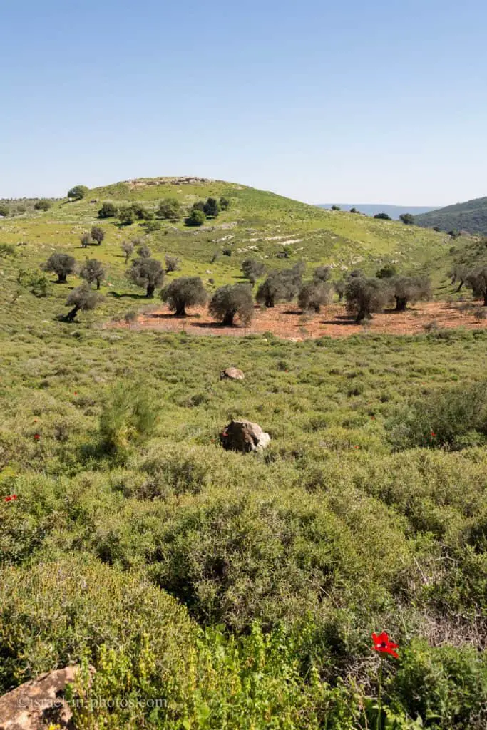
My daughter was tired when we arrived at the point where the blue trail climbed to Mount Atzmon’s top. Thus we decided not to climb to the top and make a shortcut using the black track. The black jeep road goes around Mount Atzmon and intersects the blue trail after a while.
And then, we used the red jeep road to return to Tel Yodfat National Park.

This hike took us a little more than two and a half hours. And climbing Mount Atzmon’s top would add at least half an hour.
Summary
Tel Yodfat National Park offers three lovely loop trails to see nature and history. Moreover, if you want a longer hike, you can combine your visit with Mount Atzmon Nature Reserve.
Note: if you are interested in national parks, check out National Parks And Nature Reserves in Israel.
Have you ever been to Tel Yodfat National Park? Tell us about your experience in the comments below.
That’s all for today, and I’ll see you in future travels!
Stay Tuned!
Additional Resources
Here are several resources that I created to help travelers:- Trip Planner with Attractions and Itineraries is the page that will help you create your perfect travel route.
- What is the Best Time to visit Israel? To answer this question, we will consider the weather, prices, holidays, festivals, and more.
- Information and Tips for Tourists to Israel will answer the most common questions tourists have about Israel (including safety, passports, weather, currency, tipping, electricity, and much more).
- Israel National Parks and Nature Reserves include a complete list, top ten, map, tickets (Israel Pass, Matmon, combo), and campsites.
- If you are looking for things to do, here are the pages for Jerusalem, Tel Aviv, Haifa, Sea Of Galilee, Akko (Acre), Eilat, Nazareth, Safed (Tzfat), and Makhtesh Ramon.

