

Tzipori National Park – Visitors Guide – Capital of Galilee

Tzipori National Park presents remains of the ancient city of Sepphoris, including beautiful mosaics and an ancient water system.
Map
Tzipori National Park is located in Lower Galilee, not far from Nazareth.
Directions for drivers: Link to Waze and Link to Google Maps
Directions for public transport: Link to Moovit
Interactive map of the area:
And here is a photo from the official brochure of the map of this national park:
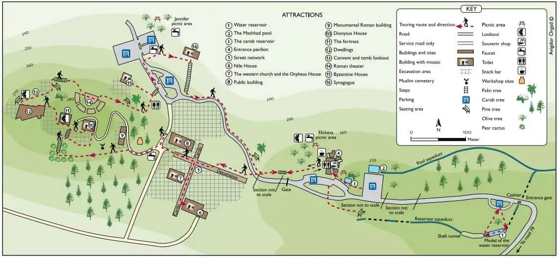
Note: you can click on the map to enlarge it.
As you can see from the map above, there are two parts to this national park.
- The ancient water system is closer to the entrance (on the right, it starts at #1).
- The remains of the ancient city of Zippori are on the left side of the map.
And we will visit them in the mentioned order. First, we will park near the entrance (#1). After completing the ancient water system route, we will not continue on foot towards the city and instead return to the parking near #1. Then drive to parking near #4 and walk to the town.
Note: on the map, two labels say “section not to scale.” Thus, we decided to return to the car at #1 and drive to #4.
Opening Hours
Sunday – Thursday and Saturday: 8:00 – 17:00 (16:00 in winter).
Friday: 8:00 – 16:00 (15:00 in winter).
On holiday eves, usually 8:00 – 13:00.
Note: Since the pandemic, the Israel Nature and Parks Authority has started limiting the number of people in each park. Thus, reservations are recommended through the official site (you can find the link below).
Entrance Fee
Adult – 28 NIS, child – 14 NIS, and student – 24 NIS. Free for National Parks annual subscribers.
If you visit several National Parks, consider purchasing a combo ticket. For additional information, see National Parks and Nature Reserves.
Note: opening hours and ticket prices were updated in October 2022. In any case, recheck the official site before visiting.
Contact Information
Phone: 04-6568272
Email: gl.zipori@npa.org.il
Ancient Water System
Tzipori Water System is next to the first parking, closer to the entrance.
We parked there and started walking along the trail. After several minutes, we saw this beautiful Sabres flower (also known as Opuntia ficus-Indica):
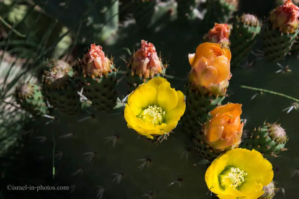
This cactus is the origin of the term sabra used to describe Israelis. A spiky skin on the outside but a soft, sweet interior, suggesting that while the Israeli sabras are rough on the outside, they are friendly and sensitive once you get to know them.
The map of the ancient Tzipori water system (#1) consists of several springs, aqueducts, tunnels, a reservoir, and a pool.
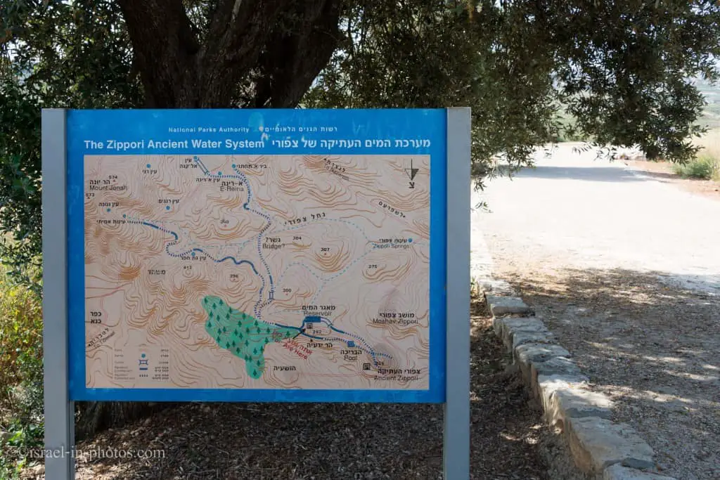
Aqueducts
Located at the entrance to the site on the left. 1.5 kilometers east of the city of Zippori. The reservoir is part of the city’s water supply system, which begins at the springs in the Nazareth Mountains near the villages of Mashhad and Reineh. The discharge rate of the springs is approximately 40 cubic meters per hour. The water was channeled to the city via two aqueducts; the one at Mashhad was dug into the rock, and the one at Reineh was constructed. The Reineh aqueduct led to the large reservoir east of the city.
Note: unless stated otherwise, all quotes were taken from the official site.
Reservoir
The reservoir was dug at this point because it is the only high place near Zippori with chalk rock, which is easy to hew. The reservoir is 260 meters long, ranges from two to four meters in width, and is some 10 meters high. Its total capacity is 4,300 cubic meters of water, which could supply 18,000 people for two weeks. The water flowed to the reservoir through a sedimentation basin five meters deep. Support arches were constructed across the width of the reservoir at certain points.
235 Meters Tunnel With A Valve
A valve at the reservoir’s outlet regulated the flow of water to the city. From this point, the water flowed through a tunnel 235 meters long and dug into the rock using six vertical shafts. The aqueduct entered the city at 270 meters above sea level (20 meters lower than the fortress) and supplied water to most of the city. The reservoir reveals two construction periods: the first is from the second century CE, and the second is from the fourth century CE. The reservoir continued in use until the seventh century. Numerous cisterns were discovered in dwellings in the higher part of the city, where residents who did not receive their water supply from the reservoir could store rainwater. The residents also utilized spring water which, although it flowed in the valley, had a stable discharge rate (about 110 cubic meters per hour).
Here you can see a part of a model that tells about this water system:
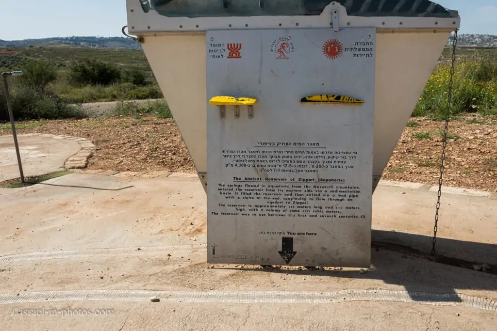
The reservoir is approximately 260 meters long and 8-12 meters high. It was in use during 1-7 CE.

Let’s enter inside:
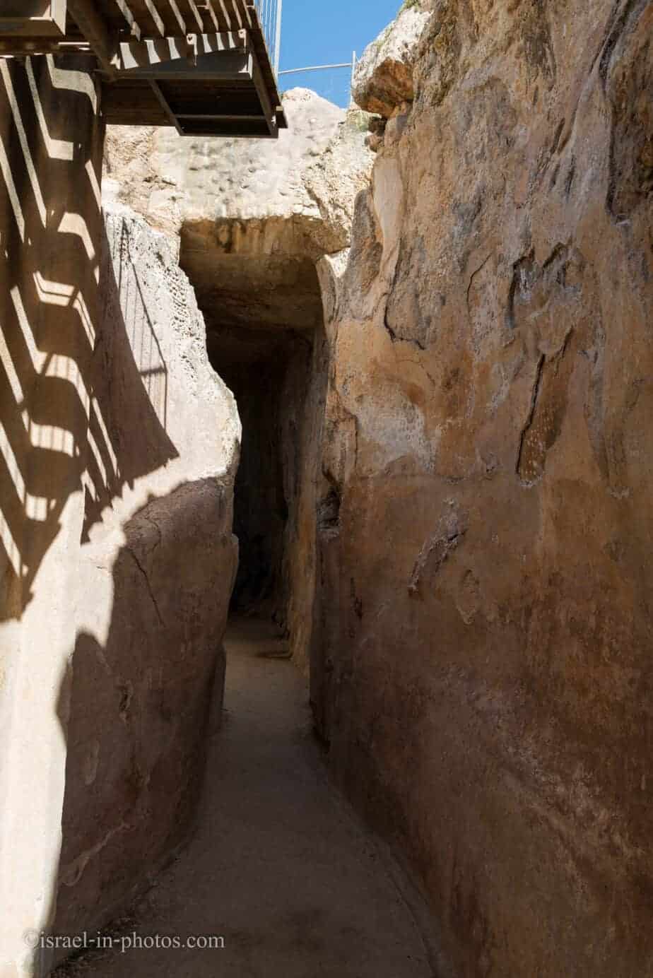
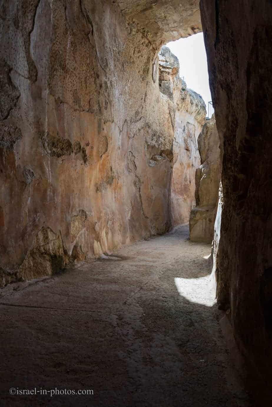
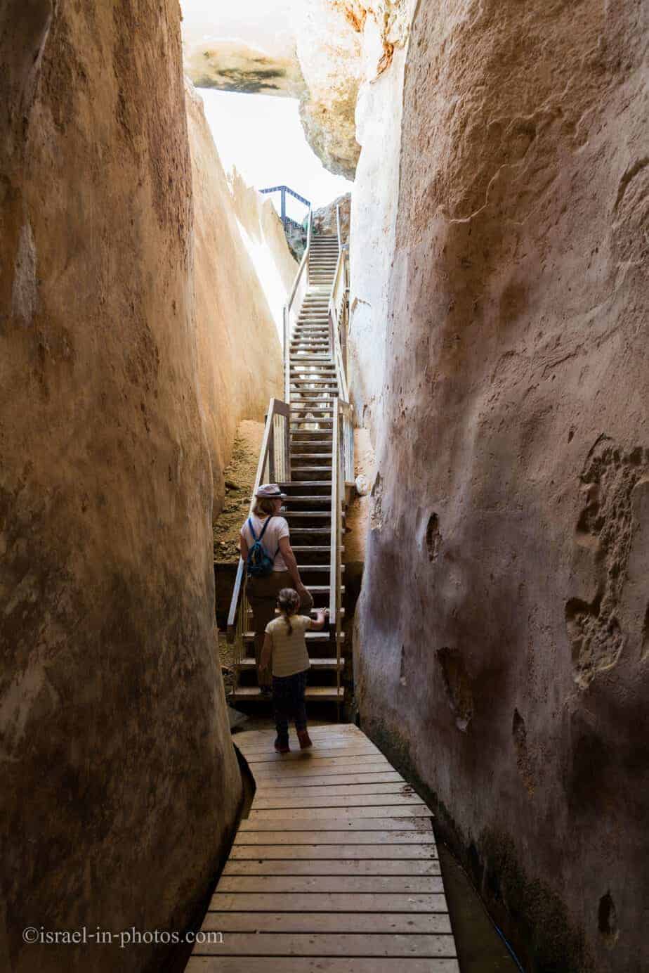
After about 10 minutes, we reached the end of the first part.
Here is the view of the exit: