
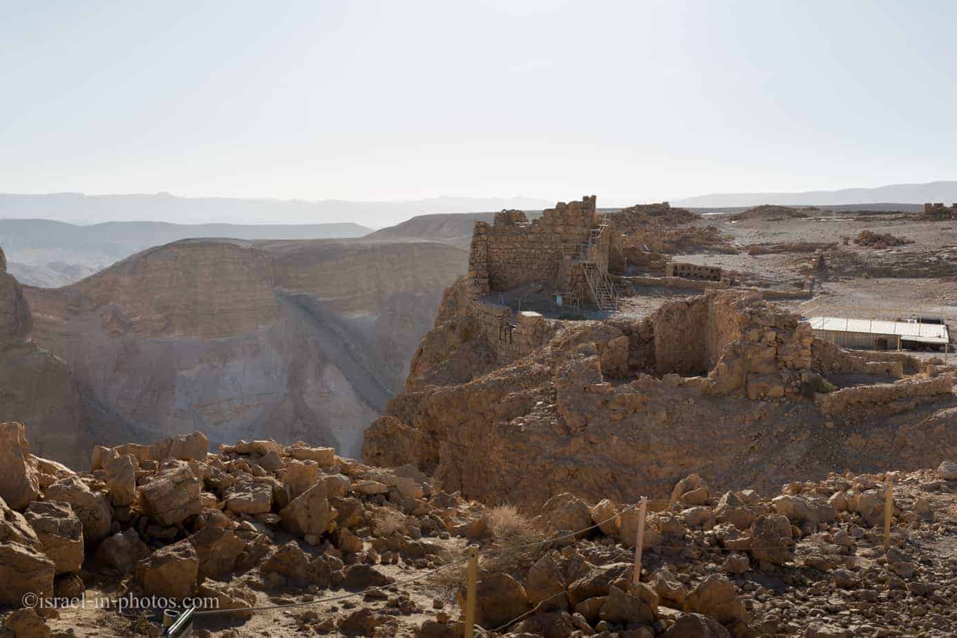
Masada National Park – Visitors Guide with Map and Photos

Masada National Park tells the extraordinary story of Masada, an ancient fortress in the Judean Desert near the Dead Sea.
Note: The word Masada means a fortress (literal translation from Hebrew). And due to the selected location, it was a stronghold.
Map
Masada National Park is near the Dead Sea between Ein Gedi and Ein Bokek.
Note: There are two entrances. You must choose the entrance in advance and ensure the navigation app is set correctly.
Interactive map of the area:
Map from the brochure:
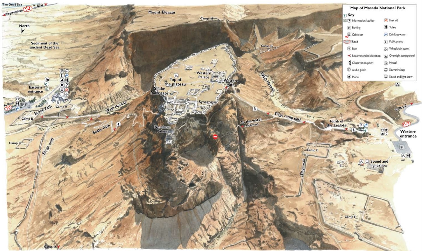
Note: You can click on the map to enlarge it.
Remember that this map can be confusing since the north is pointing down.
As you can see from the map, this national park has two entrances. Moreover, there is no direct road connecting them. If you want to drive from one entrance to another, the route is approximately 70 km and takes around an hour. Thus, you must select the entrance in advance and ensure that the navigation app is set correctly.
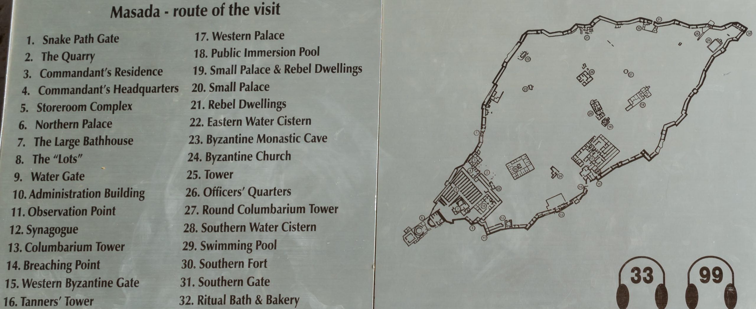
Here is the map showing what you can find at the top of the plateau.

Note: You can click on the map to enlarge it.
Here is a close-up of the site plan.
Now, let’s review the entrances and identify the facilities each provides. At this point, I will mention that most visitors choose the eastern entrance.
Western Entrance
The Western entrance (on the right side of the map) can be reached via road #3199 from Arad.
This entrance has a free parking lot and restrooms. You should use this entrance if you are going to the night show (also called the sound and light show).
If you are going to climb Masada (do not plan to use the cable car) and are worried about the difficulty of hiking, then you should take this entrance. The western entrance is on higher ground than the eastern one, and the climb is much easier.
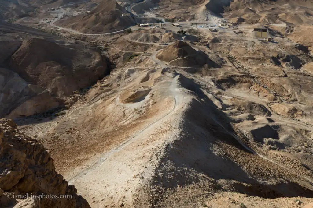
The western entrance is about 20 meters below sea level. The top of the plateau is around 40 meters above sea level. That means the entire climb is 60 meters. Take the Siege ramp path to reach the Western gate and the Masada. Completing this path takes about fifteen minutes at a moderate pace.
Also, at the Western Entrance, you can find the siege tower from the 1981 mini-series Masada. However, it has only the base level (in the mini-series, it had three stories).

Campsite Masada West
The campsite is near the western entrance. It offers lighting, drinking fountains, a barbecue area, bonfire areas, fixed and movable tables, electrical outlets, and, of course, restrooms and showers. Additional details are available here.
The campsite’s proximity makes it comfortable if you are considering a sunrise hike or a night show.
Eastern Entrance
The eastern entrance is the main one. It is closer to the Dead Sea and can be reached using Road #90.
The Israeli Nature and Parks Authority built a whole complex at this entrance. In this complex, you can find the museum, a movie theater screening a short movie about Masada, see different exhibits, eat at a restaurant, visit a souvenir shop, and use the restrooms. To be clear, besides the toilets, there is nothing at the western entrance.
Because this complex enriches your visit, most people choose it. But it has a downside. As noted above, the eastern entrance is located below the western one. The east entrance is located approximately 270 meters below sea level. Since the plateau’s top is about 40 meters above sea level, the hike totals 310 meters uphill. The shortest and most common trail is the snake path.
But you do not have to hike uphill. There is a cable car, and you can ride it for an additional fee. See the following two sections for details about the cable car and the snake path.
Directions
If you are reaching by car, enter “Masada National Park” into Waze or Google Maps, which will take you to one of the free parking lots. But keep in mind, there are two entrances to this national park. Make sure you arrive at the required one.
If you are using public transport, you can take bus #486 from Jerusalem to Neve Zohar and exit at the Masada bus stop. Here is the updated link to Moovit. Enter your starting point, and you will get the updated directions.