
Giv`at HaTitora – Nature and Archeology Hikes in Modi’in

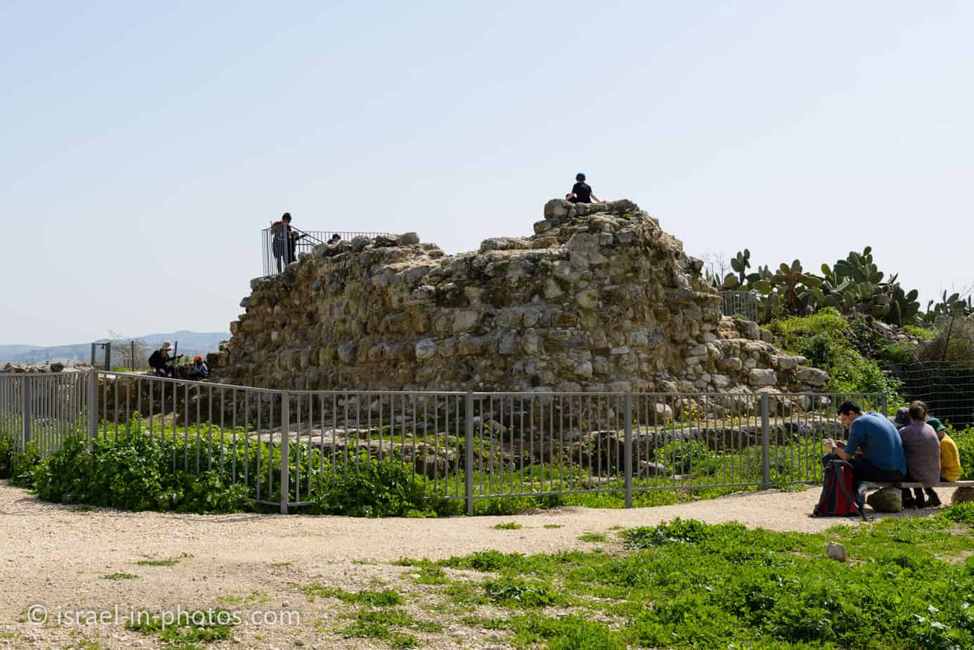
Giv`at HaTitora is a hill in Modi`in. This ancient Tel has archeological remains and blossoms, and you can hike using several tracks.
Map
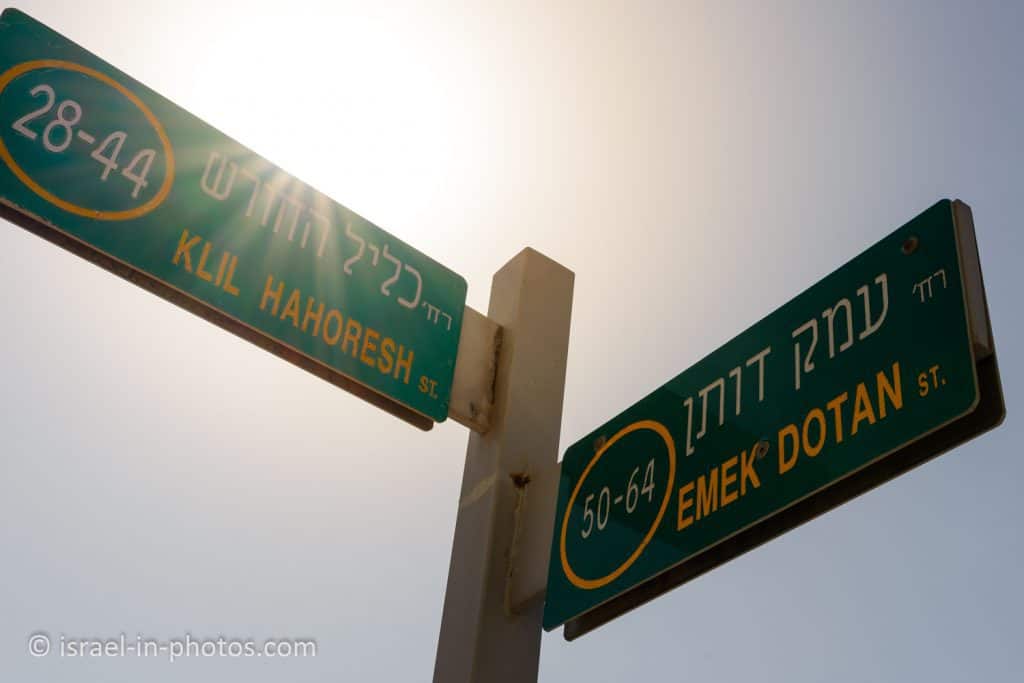
Giv’at HaTitora is located in the city of Modi’in near road #443. The main entrance is from Klil Hahoresh Street (near the round water tower). And you can also enter by Holmes Place Modi’in (Emek Dotan 48).
The easiest way to reach it is by entering “Giv’at HaTitora” into Waze (or clicking this link). It will lead you to the parking near the main entrance.
Directions for drivers: Link to Waze and Link to Google Maps
Directions for public transport: Link to Moovit
Interactive map of the area:
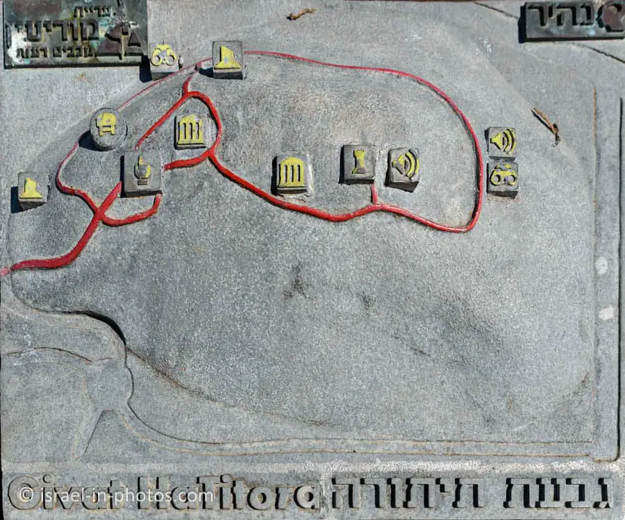
You can find the following map of the summit track near the main parking. As you can see this loop trail visits archeological remains including the fortress, and two viewpoints.
Parking
There is small parking inside the Tel. You can also park along Klil Hahoresh Street. But keep in mind that it is a popular place. And on weekends during bloom, you must park further away (unless you arrive early). During our latest visit, we parked at a big free parking lot in front of Holmes Place. This parking lot is at the intersection of Klil Hahoresh and Emek Dotan Streets.
Entrance Fee
Free.
Opening Hours
Always open. But since there may be open pits, stay on the trails and visit only during daylight.
When to visit Giv’at HaTitora?
The best time to visit Giv’at HaTitora is during the flower bloom and blossom of the almond trees. Hence, winter and spring are the best seasons. More specifically, February and March are the best months for a visit.
Note: our latest visit was at the beginning of March. There were a lot of flowers, but the blossom of the almond trees had almost ended. The next year we visited in the middle of February and saw the blossom of the almond trees. However, the exact times depend on the weather.
Tracks
There are several trails at Giv’at HaTitora. Here is an interactive map from israelhiking.osm.org.il, where I marked two tracks:
Here are the details of the most popular trails:
| # | Name | Color of the Trail on the Map above | Description | Distance (km) | Total climb and descent (meters) | Notes |
|---|---|---|---|---|---|---|
| 1 | Flowers loop path | Green (marked in blue) | This loop trail goes around the hill and lets you enjoy carpets of wildflowers. | 2.3 | 88 | You can combine this track with others. |
| 2 | The summit trail | It has no color, but there are signs on the hill. | It is a short loop trail that allows seeing the archeological garden, and the fort remains. | 1 | 16 | The benefit of this trail is that it is accessible, and you can walk with baby trolleys. |
| 3 | Combo track | Red | The trail we hiked on our latest visit combines the flowers and the summit tracks. | 2.4 | 96 |
Note: there is little shade in all the trails. Hence, take sunscreen and prefer the less hot hours of the day.
Picnic and Barbeque
Many people have picnics in the park. But as you can see from the following sign, lighting fire, grill, and gas is forbidden. Hence, you cannot have barbeque here.

The origin of the name “Titora”
The Crusaders called the place “Trenta,” while the Arabs “Kelat a-Tantura” (pointed hat) as well as “Al-
Burj” (the citadel) or “Burj al-Habib.” The Hebrew name “Titorah” (the brim of the hat) was awarded to her by the governmental committee of the official names, and it preserves the sound of the name in Arabic and its meaning. The earlier name of the site is not known for sure.

About
Giv’at HaTitora is the most important nature, landscape, and heritage site in Modi’in. Its territory on the city’s northeastern border covers about 600 dunams and rises 315 meters above sea level.
The hill played a central role in the history of the region Modiin because there was a rural settlement continuously since the Chalcolithic period about 6,000 years ago and until 1948, with the establishment of the state.
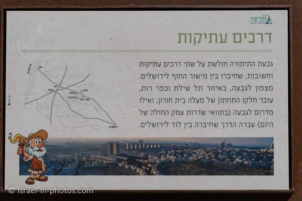
This hill gained importance since it was near two main roads. Both these roads connected the coastal plain and Jerusalem. Here is the map of these roads.
The Flower Path
After completing all the basics, I want to take you along track #3 (in the table above), and we will start with the flower path near Holmes Place.
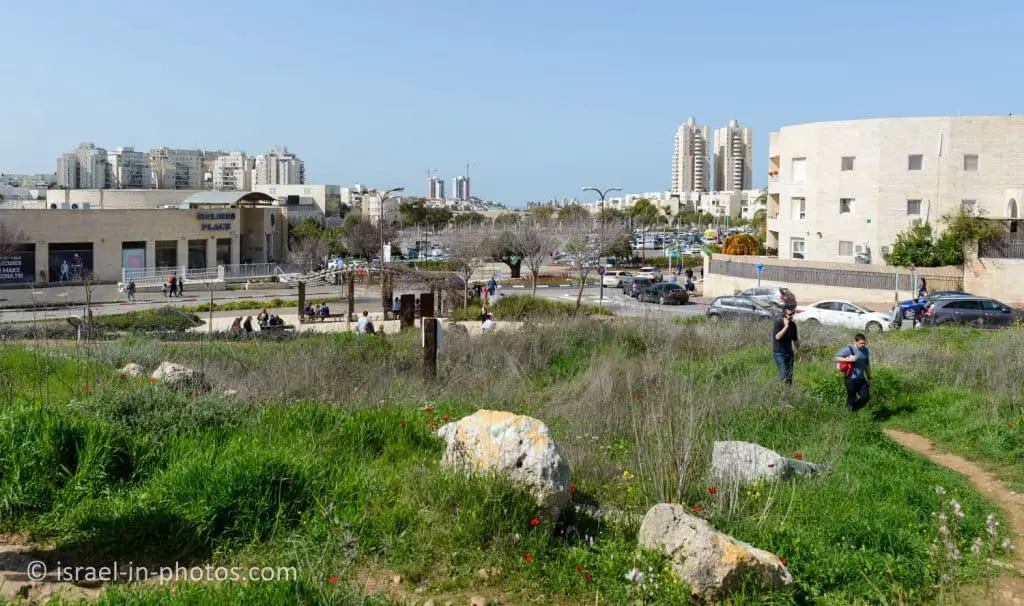
On the corner of Klil Hahoresh and Emek Dotan Streets, you can see the beginning of the green track. It is the flower path.
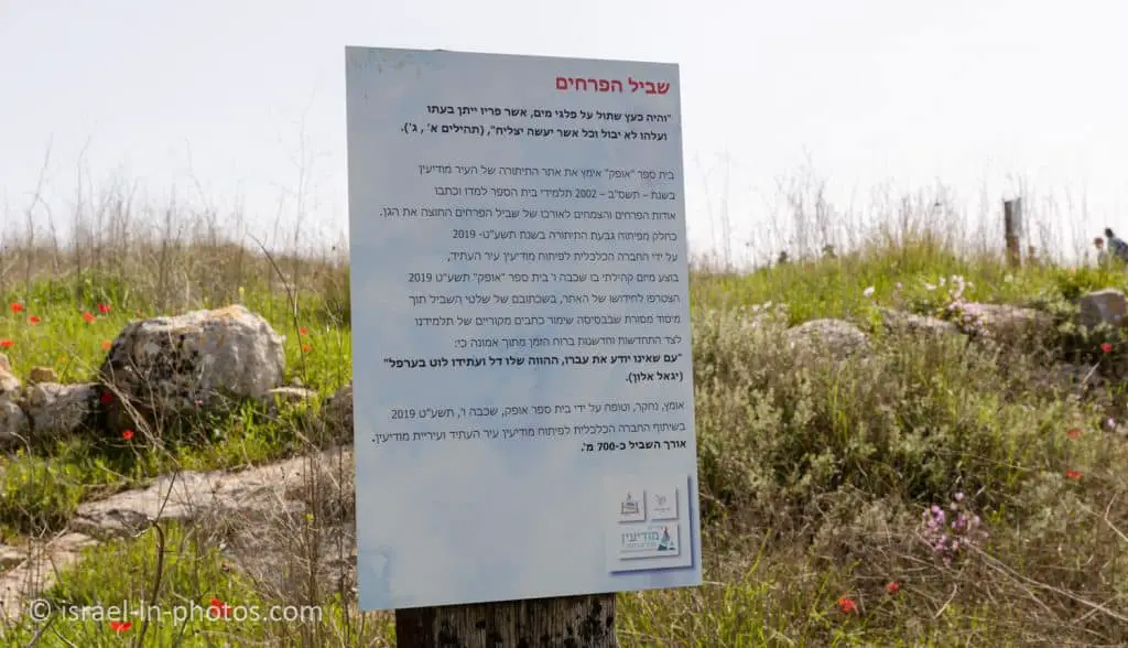

Along this trail, you can find cyclamens, anemones, fennel, Chrysanthemums, Buttercups, Origanum syriacum, and more.
And there are signs with information about the plants.


Cisterns
There are few springs in the Modi’in area. Thus, rainwater storage systems were developed. On Giv’at HaTitora, about 120 cisterns were found so far. Therefore, walk only on the trails and visit only during daylight.