Little Switzerland, Carmel Nature Reserve – Visitors Guide
Little Switzerland in Mount Carmel Nature Reserve offers a variety of lovely trails, family-oriented loop trails, and longer paths.
Table of Contents
Map
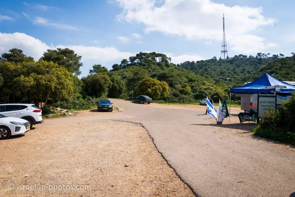
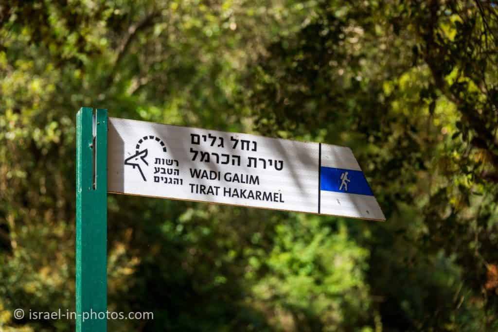
Little Switzerland is located in Mount Carmel Nature Reserve near Hai-Bar Carmel National Park. The easiest way to reach it is by entering its name into Waze. And it will take you Little Switzerland parking lot.
Directions for drivers: Link to Waze and Link to Google Maps
Directions for public transport: Link to Moovit
Interactive map of the area:
Entrance Fee
Free.
Parking
Free parking.
Opening Hours
You can visit this place during the daytime. After dark, visitors to Mount Carmel nature reserve are allowed only in authorized campgrounds.
Tracks
There is a variety of trails at Little Switzerland and Carmel Nature Reserve. The tracks range from short loop trails to full-day one-way paths. Let’s go over the most popular routes.
Here is an interactive map from israelhiking.osm.org.il, where the trails are marked:
And here are the details of the most popular trails:
| # | Name | Color of the Trail on the Map above | Description | Distance (km) | Total climb and descent (meters) | Notes |
|---|---|---|---|---|---|---|
| 1 | Little Switzerland short loop trail | Red | Take the red trail from the Little Switzerland parking lot and then return to the parking using the green track. | 1.1 | 118 | It is a short and lovely loop trail. You can walk it the other way around. You can find additional information about this path below. |
| 2 | The Cliff Viewpoint | Blue | Take the blue trail from the Little Switzerland parking lot, and switch to the colorless way. | 0.78 | 98 | You can also reach the cliff viewpoint from the cliff parking lot. |
| 3 | Take the red trail from Tirat Carmel to Oranit Cave. Then descent towards Ein Kedem. From Ein Kedem, use the black and blue trail to return to the starting point. | Black | Take the red trail from Tirat Carmel to Oranit cave. Then descent towards Ein Kedem. From Ein Kedem, use the black and blue trail to return to the starting point. | 3.5 | 370 | |
| 4 | Upper Galim Stream and Kelah Stream | Green | Start near road #672 and use the green trail to reach road #721. | 5.3 | 572 | |
| 5 | Kelah Stream and Lower Galim Stream | Orange | Start at the top of Carmel mountain near the intersection of roads #721 and #672, and using the red trail, reach Tirat Carmel. | 7.1 | 670 |
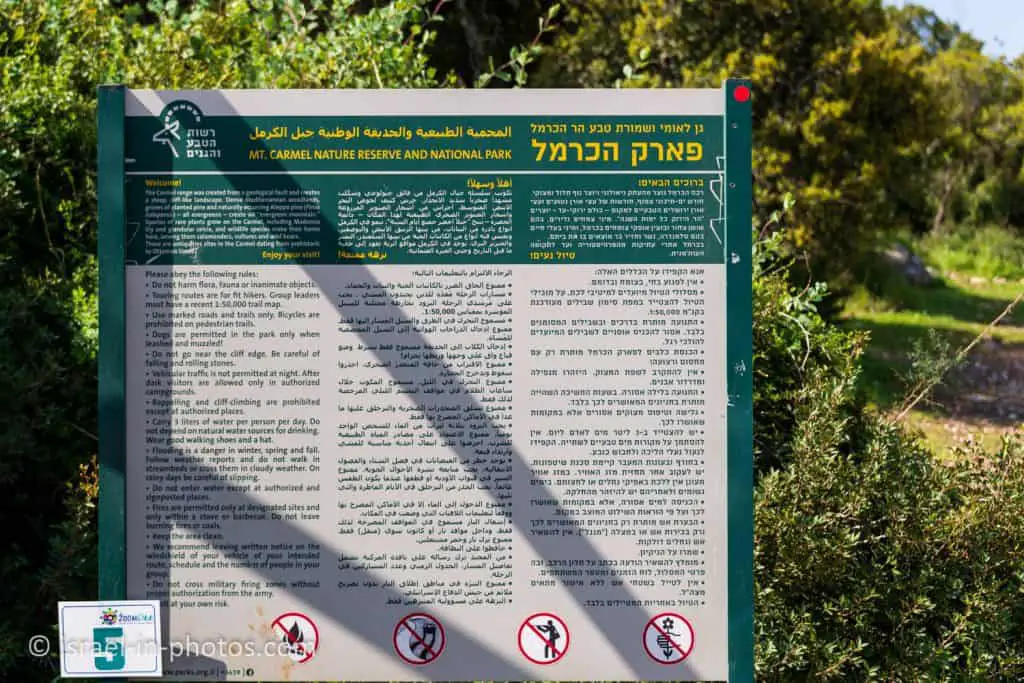
Note: “flooding is a danger in winter, spring, and fall. Follow weather reports and do not walk in streambeds or cross them in cloudy weather. On rainy days be careful of slipping.”
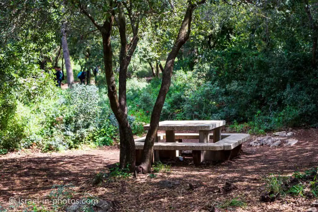
Picnic
Near the Little Switzerland parking lot, you can find restrooms with picnic tables. Also, as you can see in the following sign: “fires are permitted only at designated sites and only within a stove or a barbeque.” And this is one of those places. So many people have barbeques here.
Because this is a popular place, you should arrive early to find a free table on Saturdays and holidays.
The Short Loop Trail
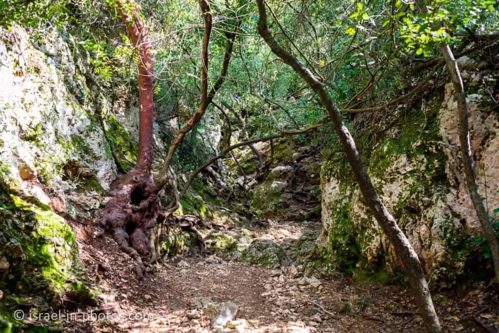
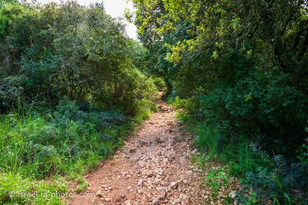
And now, we will take trail #1 from the trails table. This short loop trail starts with the red path leading to the Kelah stream.

The Carmel range was created from a geological fault and creates a steep, cliff-like landscape. Dense Mediterranean woodlands, groves of planted pine, and naturally occurring Aleppo pine (Pinus halepensis) — all evergreens — create an “evergreen mountain.” Species of rare plants grow on the Carmel, including Madonna lily and glandular celsia, and wildlife species make their home here, including salamanders, vultures, and wild boars.
There are antiquities sites in the Carmel dating from prehistoric to Ottoman times.
Source: sign
In the beginning, the red trail includes an easy walk down. And occasionally, you can see the Mediterranean Sea to your right.


By the way, have you visited Haifa University Viewpoint? If you are hiking in the middle of the week, you can make a short stop there. See Haifa University Viewpoint for additional info.
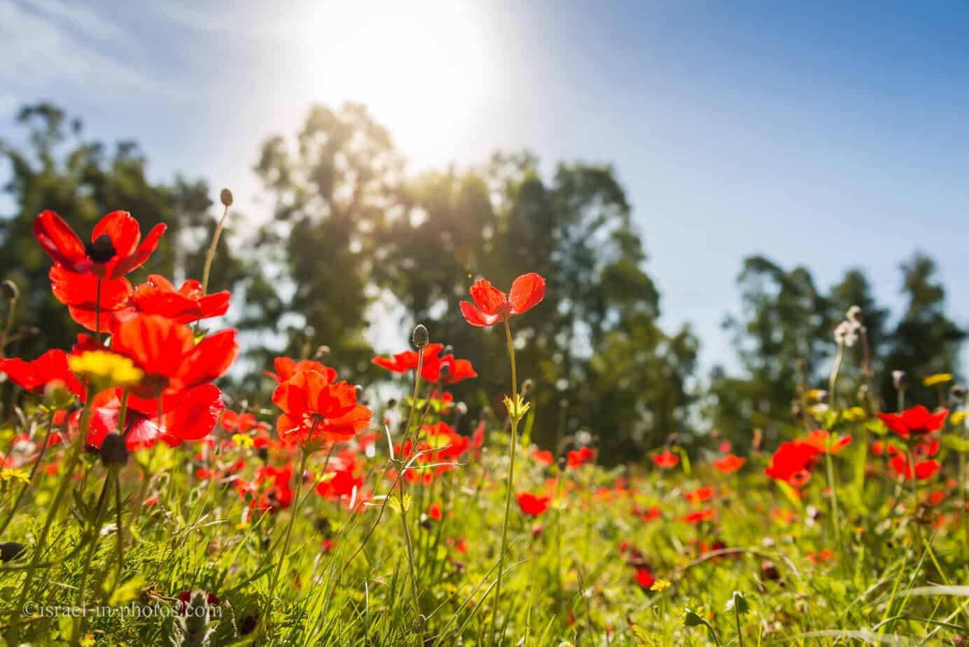
Madonna lily
Lilium candidum, also known as the Madonna lily, is a rare flower that grows in the Kelah stream. And after five minutes of hiking, we saw the following sign. As it turns out, Israel Nature and Parks Authority decrease vegetation to increase the number of Lilium candidum flowers.
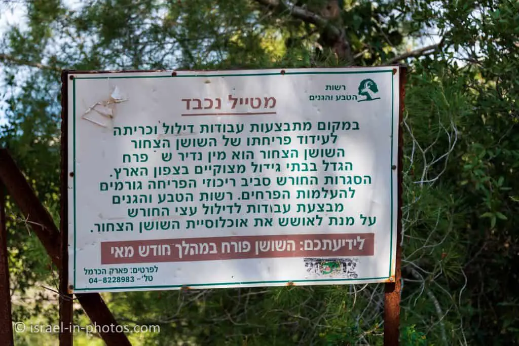
You can see the Madonna lily in May. And since this hike was in March, we did not see the Madonna lily. But later in this post, I will mention where you can see them if you are hiking from the end of April till the middle of May.
Kelach Stream is also known as one of the last sites in the country where the Lilium candidum can be seen. Every year in May, Nahal Kelach is filled with flower lovers who will hike the slopes of the creek in search of the rare flower. Madonna lily symbolizes for Christians the virginity of Miriam, the mother of Jesus, and it appears in many religious paintings made in medieval Europe. This flower is also part of the ancient Jewish culture and is found on coins from the Second Temple period.
The flower was rediscovered in Israel only in the 1930s after many Lilium candidum tubers were uprooted and taken to Europe during the Crusader period. Today, the white lily blooms in Israel at three sites in the Galilee and in the Nahal Kalach gorge in the Carmel, which forms the southern distribution limit of the species.
Source: Israel Nature and Parks Authority


After about twenty minutes of hiking, you exit from the woods and see the following view on your right side.
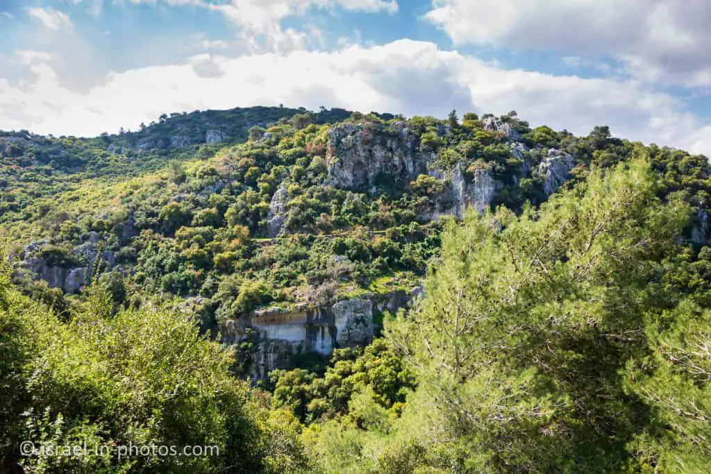
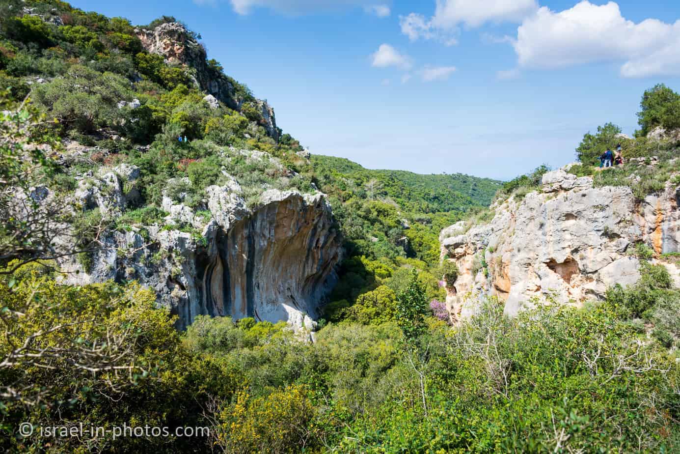
At the bottom of the previous image, you can see a geological feature called: Notch. But since it is hard to see it from this angle, we will return to it later.


After a while, you will reach the junction of the red and green trails. And even if you choose the short loop trail, I suggest continuing along the red path for several minutes (and returning).


Notch
If you continue with the red trail, you can get the following view of the Notch and the Mediterranean Sea.

A notch is a concave cliff.
This form appears in Carmel, Samaria, Judea, and the coastal plain (Caesarea area).
There are several opinions as to how a notch is formed. Some argue that the rock underwent Karst and was worn mainly in the area of weakness between two geological strata. Others believe that it was the destruction of sea waves (marine fencing). And a third version claims that the melting is a result of the flow of stream water and that in the mechanical erosion, the stones and the alluvium material carried in the water also acted.
Source: Wikipedia
And after several minutes, you will reach the intersection of the red and the blue trails. Near this intersection, you will see a stone bridge over Wadi Kelach.
The bridge indicates that it is an old car road, and indeed it was used by the residents of the isolated settlements of Beit Oren and the Carmel forests in the late 1930s. At the bridge, you meet a blue marked path that comes from the Damon junction and descends with Nahal Galim to Tirat Carmel. If you are hiking at the end of April or the first half of May, you should continue for another 100 meters on the path marked in red (in the direction of Beit Oren) and discover a cluster of Lilium candidum, one of the most beautiful and rare plants in our country!
Source: Israel Nature and Parks Authority
The Green Track
From the stone bridge, we returned to the green trail. And following it, you return to the Little Switzerland parking.
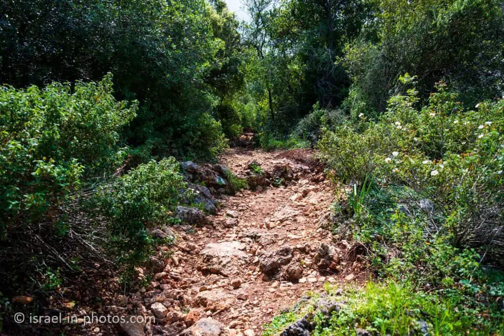
So far, the red trail was easy. But the green path involves a steeper climb. And younger children might need some help. Also, as you climb, you will see a trail marking. If you take it, then it will lead you to another Notch.
Another thing that is worth mentioning regarding the green trail is that it is narrow. We were stuck after a big group and had to wait for a while. Thus, I advise starting the hike early if you plan to visit on a Saturday or during the holidays.

Completing the short loop trail took us a little more than an hour. Since we wanted more, we decided to hike to the Cliff Viewpoint.
The Cliff Viewpoint
The blue trail from Little Switzerland parking leads to the cliff viewpoint (marked #2 in the trails table).
We followed the blue trail until it met the uncolored path. And the uncolored path was not marked clearly. And at some point, after following several paths, we did not find the way and returned to the parking.
And here are several people who found the way:

Summary
Little Switzerland at Carmel Nature Reserve offers various lovely trails that can be visited all year round. We enjoyed the hike, and we will return. And maybe next time, we will see the bloom of Lilium candidum.
Have you ever visited Little Switzerland at Carmel Nature Reserve? Tell us about your experience in the comments below.
That’s all for today, and I’ll see you in future travels!
Stay Tuned!
Additional Resources
Here are several resources that I created to help travelers:- Trip Planner with Attractions and Itineraries is the page that will help you create your perfect travel route.
- What is the Best Time to visit Israel? To answer this question, we will consider the weather, prices, holidays, festivals, and more.
- Information and Tips for Tourists to Israel will answer the most common questions tourists have about Israel (including safety, passports, weather, currency, tipping, electricity, and much more).
- Israel National Parks and Nature Reserves include a complete list, top ten, map, tickets (Israel Pass, Matmon, combo), and campsites.
- If you are looking for things to do, here are the pages for Jerusalem, Tel Aviv, Haifa, Sea Of Galilee, Akko (Acre), Eilat, Nazareth, Safed (Tzfat), and Makhtesh Ramon.