Gibton Springs Nature Reserve – Visitors Guide

Gibton Springs Nature Reserve near Mazkeret Batya offers an easy hike through water sources, a eucalyptus grove, and Tel Malut.
Map
Gibton Springs Nature Reserve near Mazkeret Batya (behind Rehovot). You can reach this nature reserve in one of two ways:
- According to the official site, Mazkeret Batya Train Station is the suggested starting point. Park there and take the blue trail (walk north for about 15 minutes).
- Yatsits Cemetery is the more popular starting point since there is no extra walk (15 minutes in each direction from Mazkeret Batya Train Station) till the beginning of the trail. Also, Waze will lead you there when you enter the nature reserve’s name.
Note: Initially, Waze took us through Petahia, but the dirt road behind it was blocked with greenery. Hence, ensure the navigation app takes you through road #40.
The easiest way to reach Yatsits Cemetery is by clicking the links below.
Directions for drivers: Link to Waze and Link to Google Maps
Directions for public transport: Link to Moovit
Interactive map of the area:
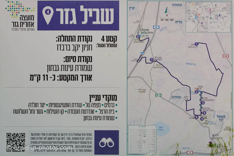
Gezer trail consists of seven sections. Section #4 passes through Gibton Springs Nature Reserve. Here is a map that we saw during our hike.
Note: if the name Gezer sounds familiar, this is because of the nearby Tel Gezer National Park.
Parking
There is a free parking lot by Yatsits Cemetery. However, since the parking is small and this is a popular nature reserve, people park along the leading road on Saturdays.

Opening Hours
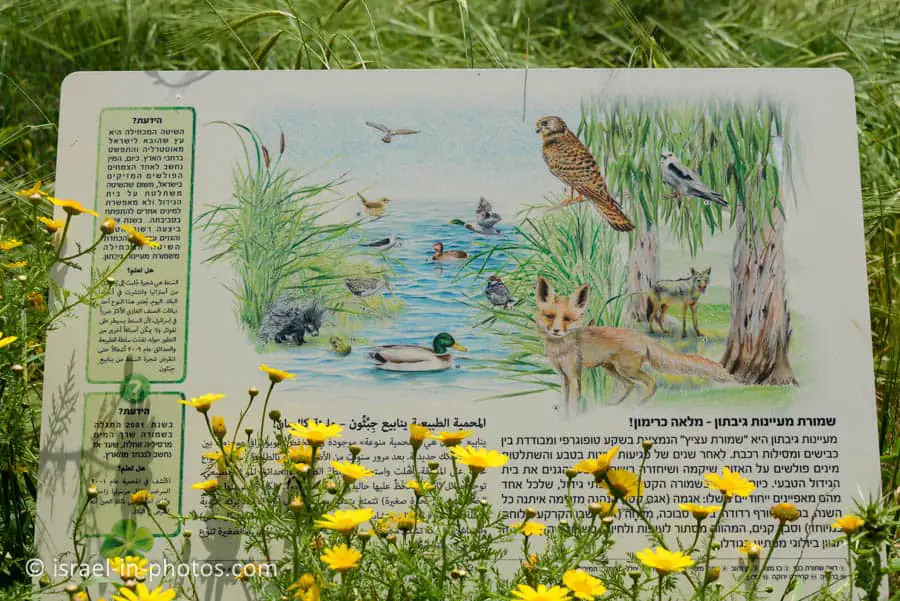
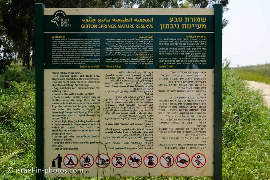
No gates or fences exist, so you can enter at any time. However, according to the sign, remaining in the nature reserve after dark is forbidden.
Barbeque and Starting Fire
The signs above also state that starting a fire or having a barbeque is prohibited in this reserve.
Since there are animals, dogs and horses are not allowed.
Entrance Fee
Free.
Trails
Here is an interactive map from israelhiking.osm.org.il where the most popular trail is marked (from Yatsits Cemetery):
The length of the loop trail is 2 km and has a total climb and descent of 44 meters. Most of this trail has blue markings. Moreover, there are many signs, so a map is not required.
I will take you through this trail in the following sections.
When To Visit?
Since this is a popular nature reserve, I advise arriving early if you visit on a Saturday or during holidays.
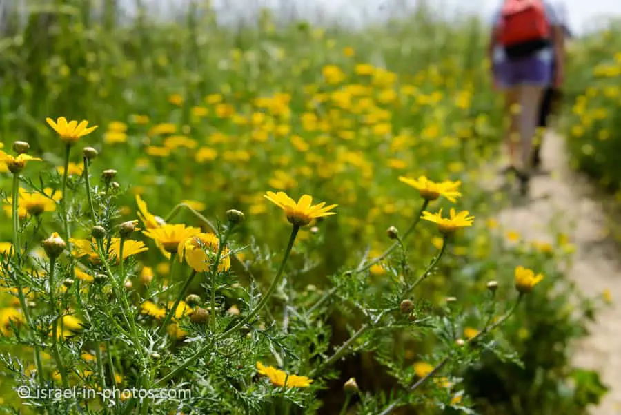
You can visit all year round, but toward the end of winter and spring, the weather is nice, and you will see a lot of flowers.
Note: we visited toward the end of March.
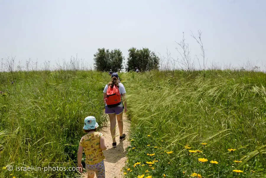
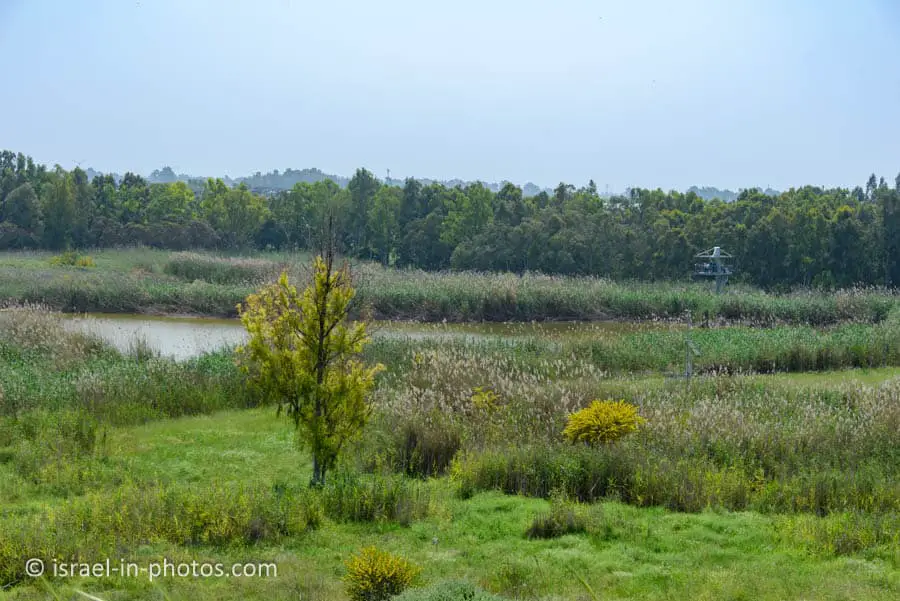
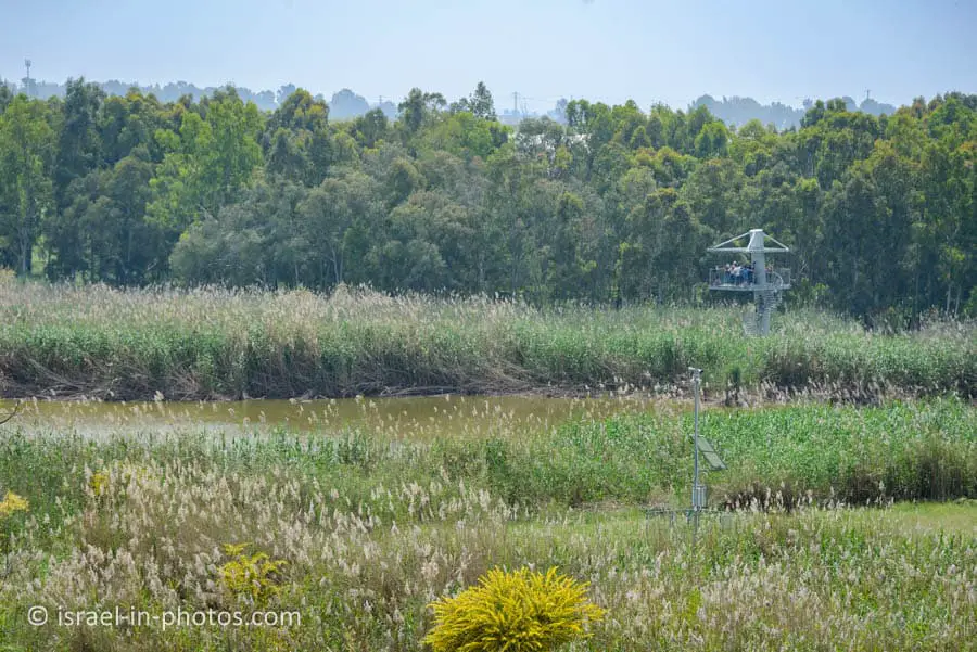
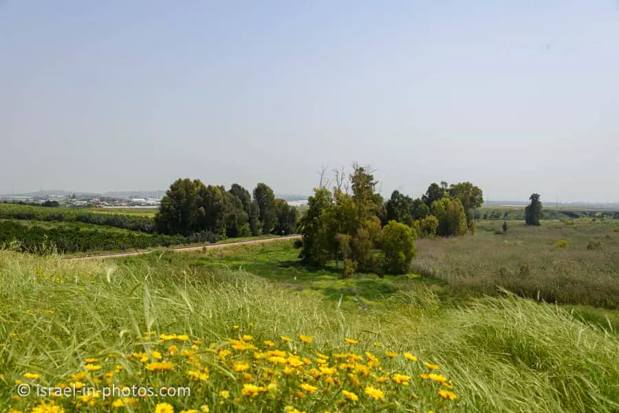
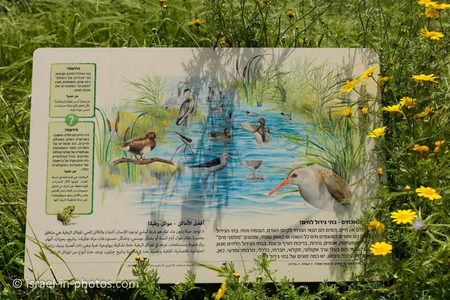
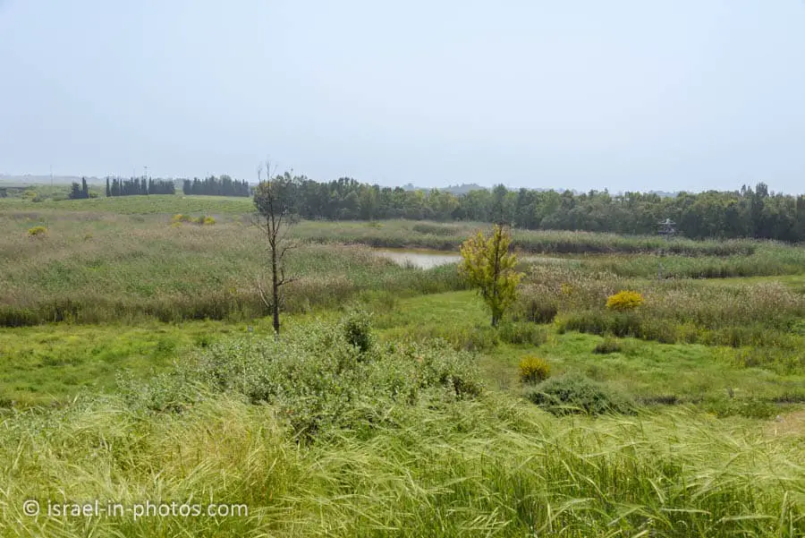
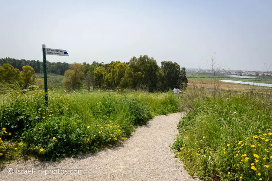
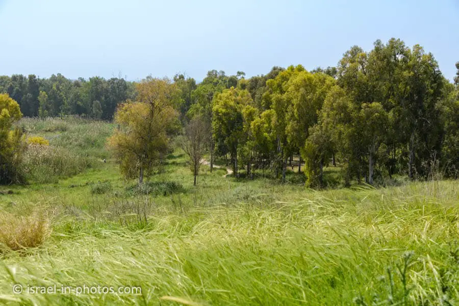
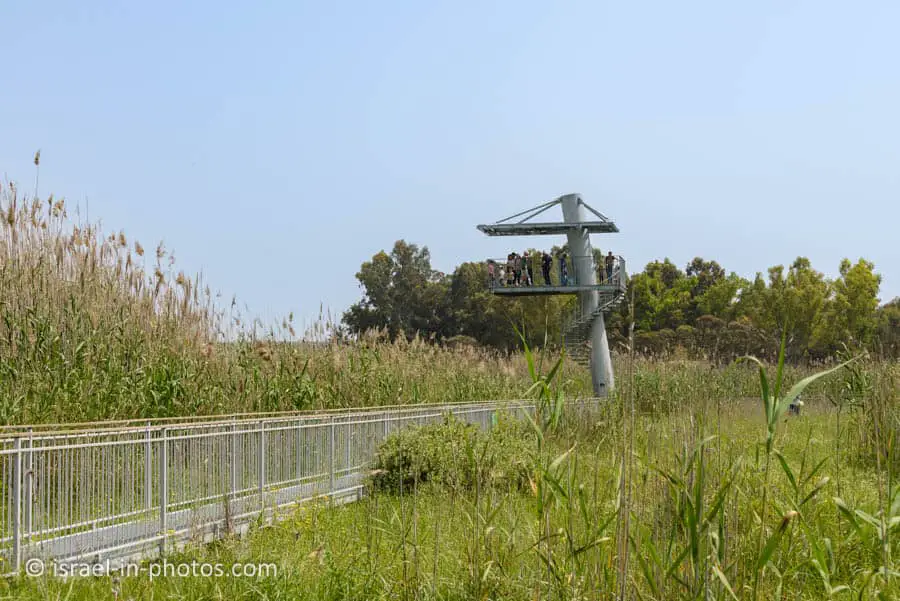
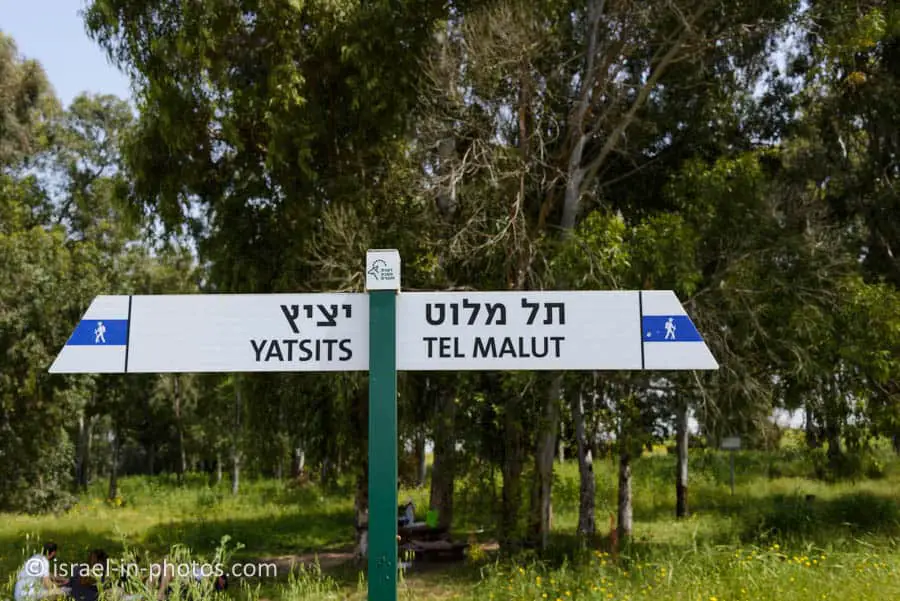
Here are several photos from the beginning of the hike:



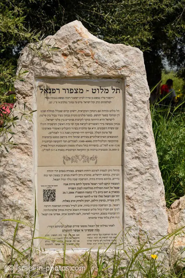
Tel Malut
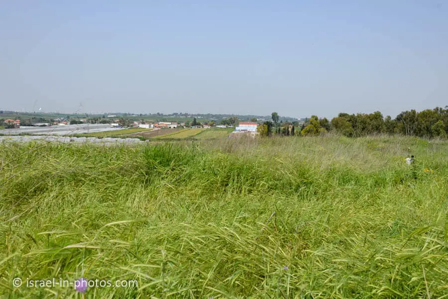
After about fifteen minutes, we reached Tel Malut. Here are several photos from the Tel: