Then and Now Photos
The idea to create Then and Now Photos emerged when I heard that New York Public Library added many old photo scans to the public domain. Here is a quote from their site:
FEATURED
SPOTLIGHT ON THE PUBLIC DOMAIN
On January 6, 2016, The New York Public Library enhanced access to all public domain items in Digital Collections so that everyone has the freedom to enjoy and reuse these materials in almost limitless ways.
Probably most photos there are from the US, but I decided to check if there are any from Israel. And since people from Europe and the US visited this region and took photos, I was able to find them in the New York Library’s Public Domain. So let’s start:
Table of Contents
Then and Now Photos – Jerusalem
This still image of the Dome of the Rock was made in 1864 by Ermete Pierotti:
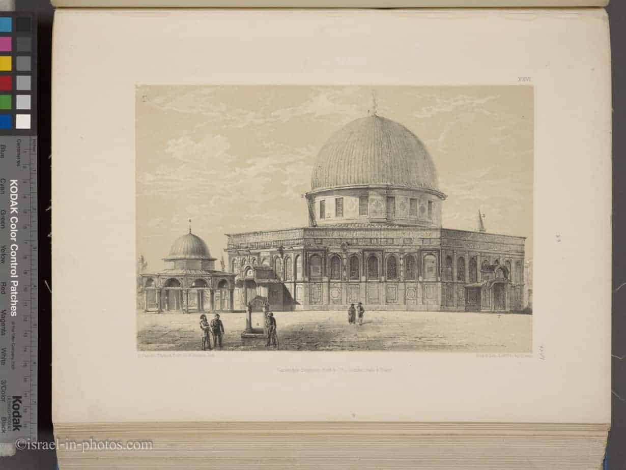
Ermete Pierotti was an Italian engineer and archaeologist. He probably made this photograph during his job as Jerusalem city engineer.
And here is my photograph of the Dome Of The Rock:
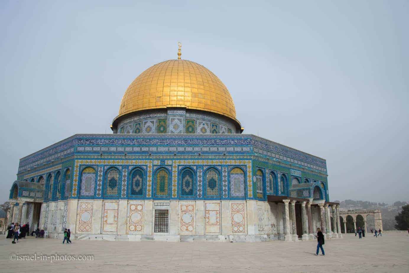 It was taken several years ago.
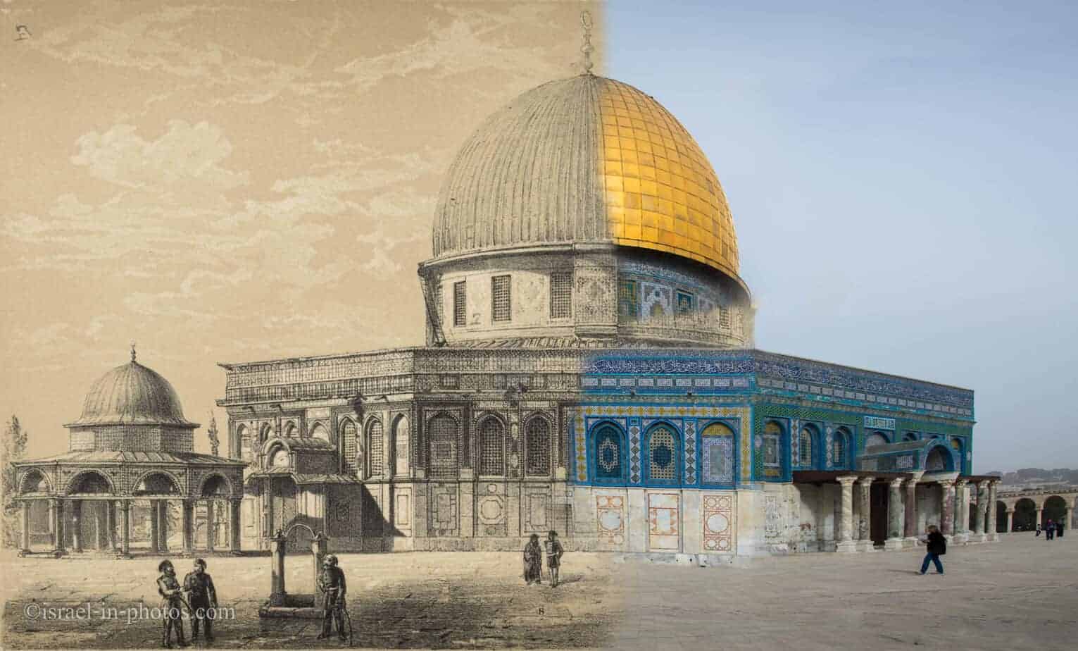
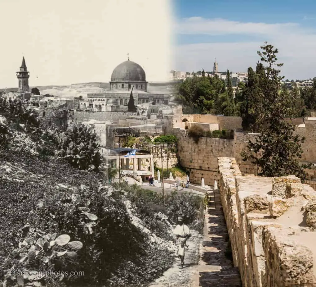
After merging the two, we get the combined then and now:
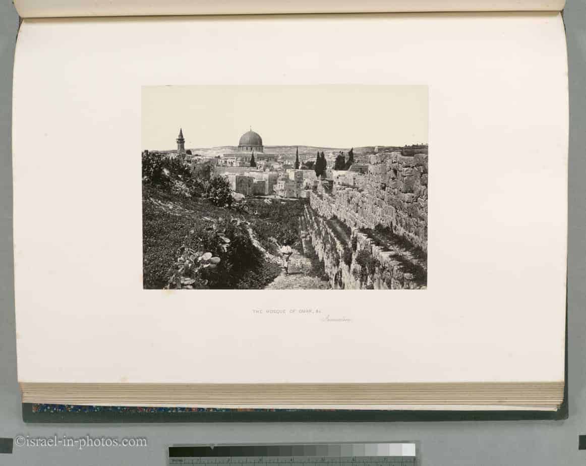
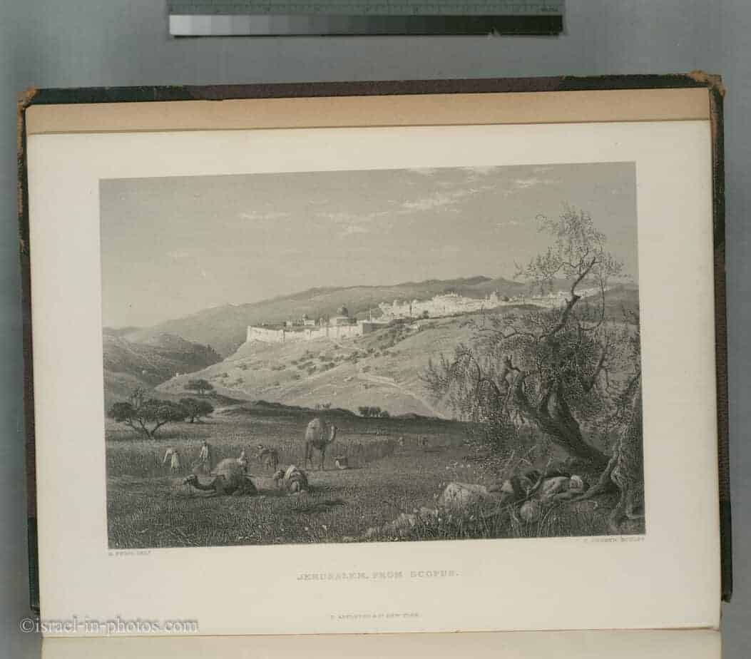
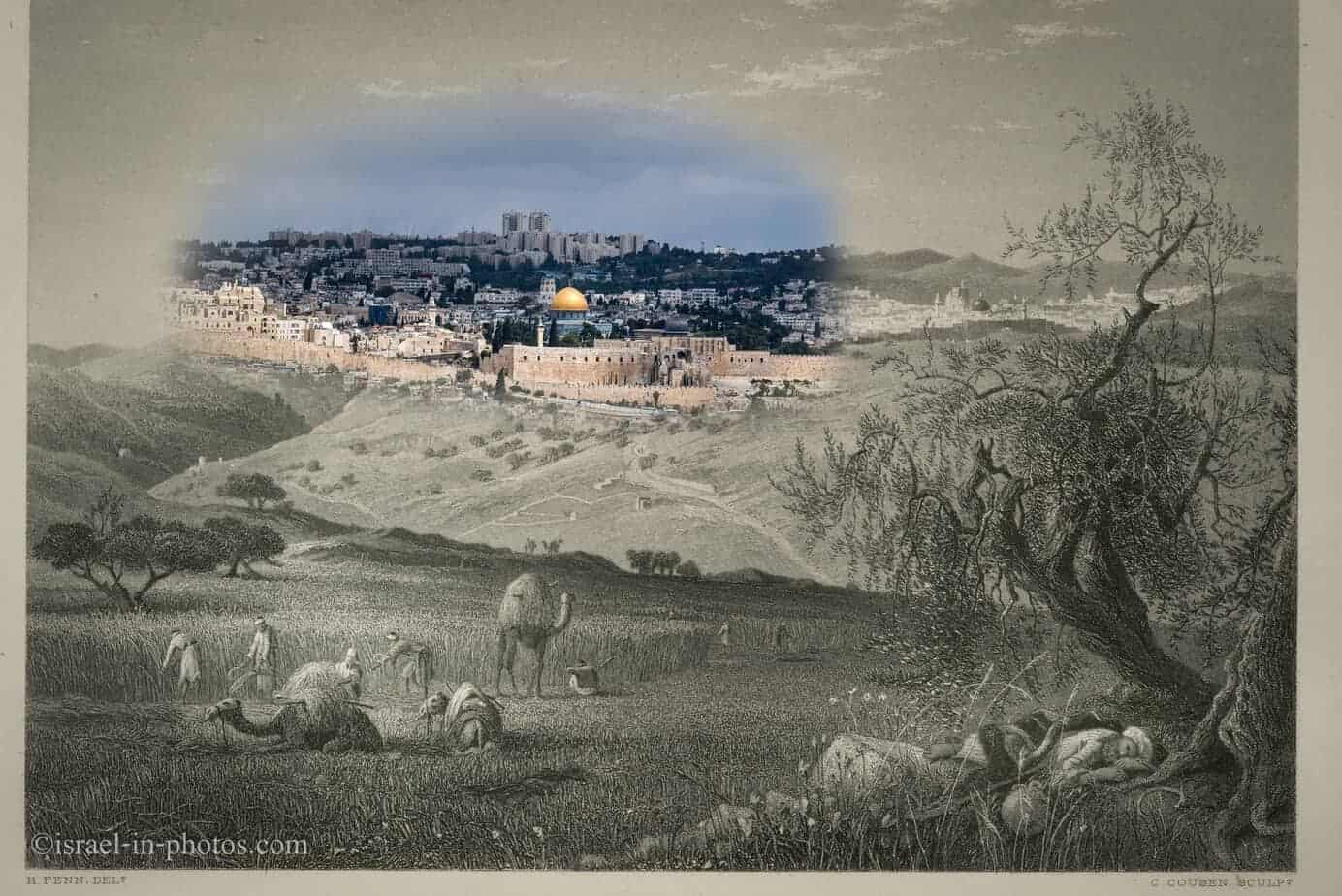
Another photograph of Jerusalem:
And this is my photograph from The Ramparts Walk post:
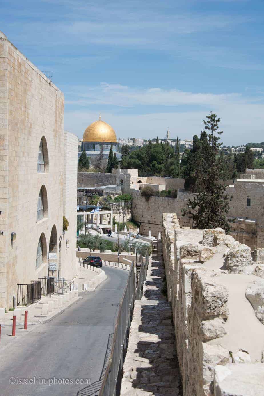
Then and Now combined photo:
When looking at this photo, you understand that not so long ago there was nothing around the old city of Jerusalem:
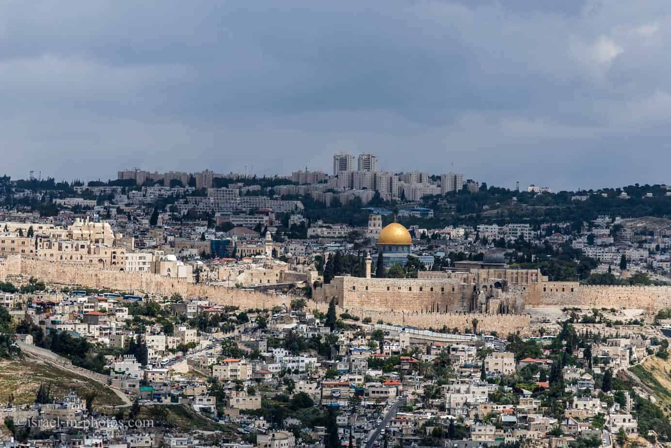
And today there is no free space around old city walls:
The combined photo:
I was also able to find some photographs of other cities in Israel:
Then and Now Photos – Jaffa
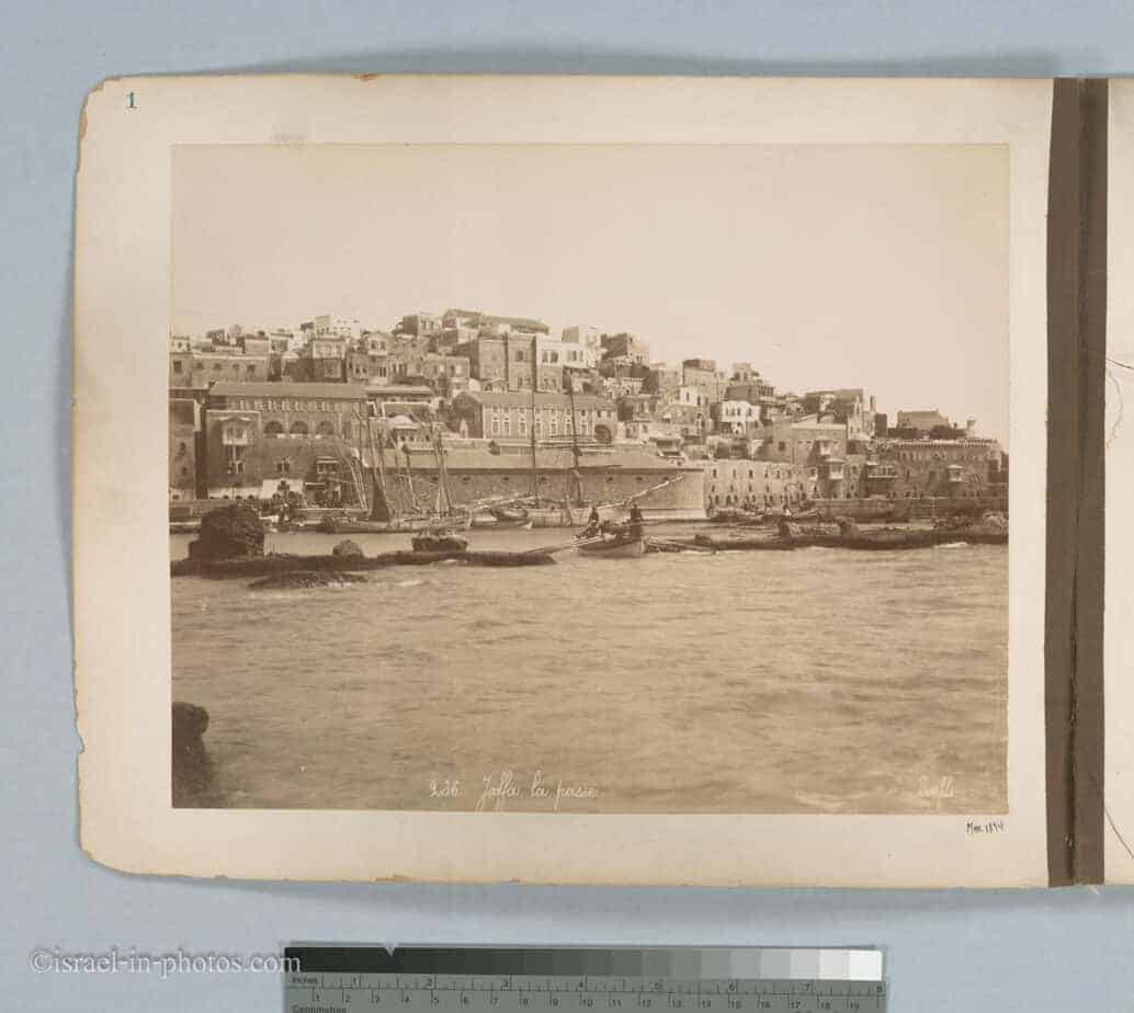
Jaffa photograph from 1894:
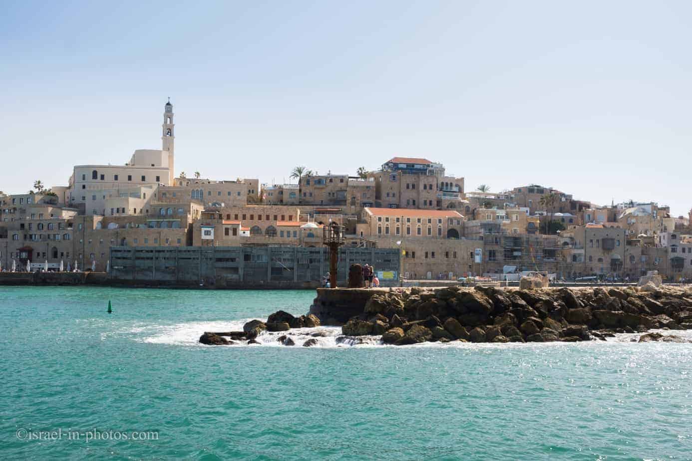
And my recent Jaffa photograph:
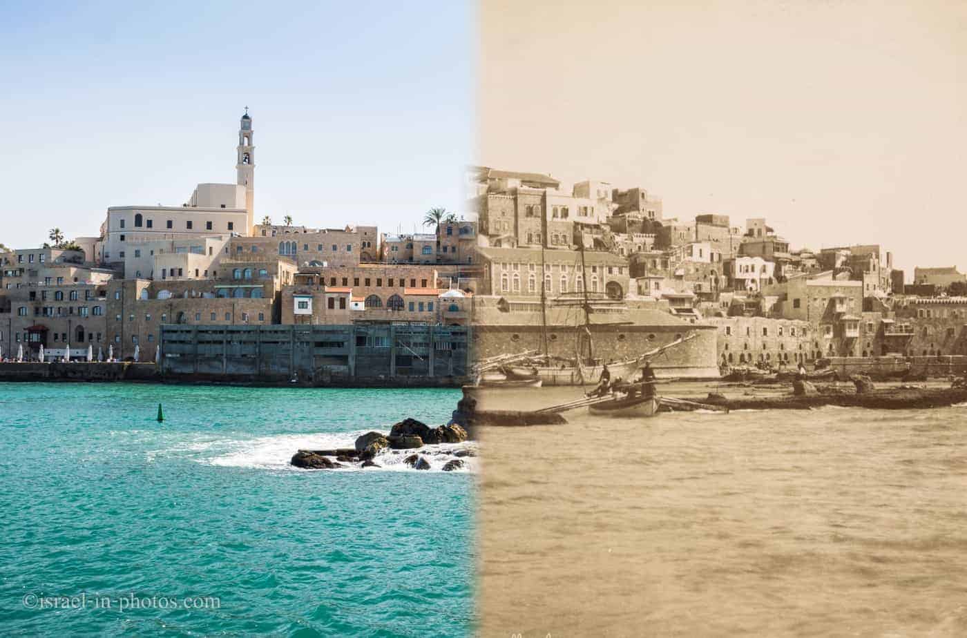
The result:
Then and Now Photos – Acre
The White Market and Jezzar Pasha Mosque in Acre:
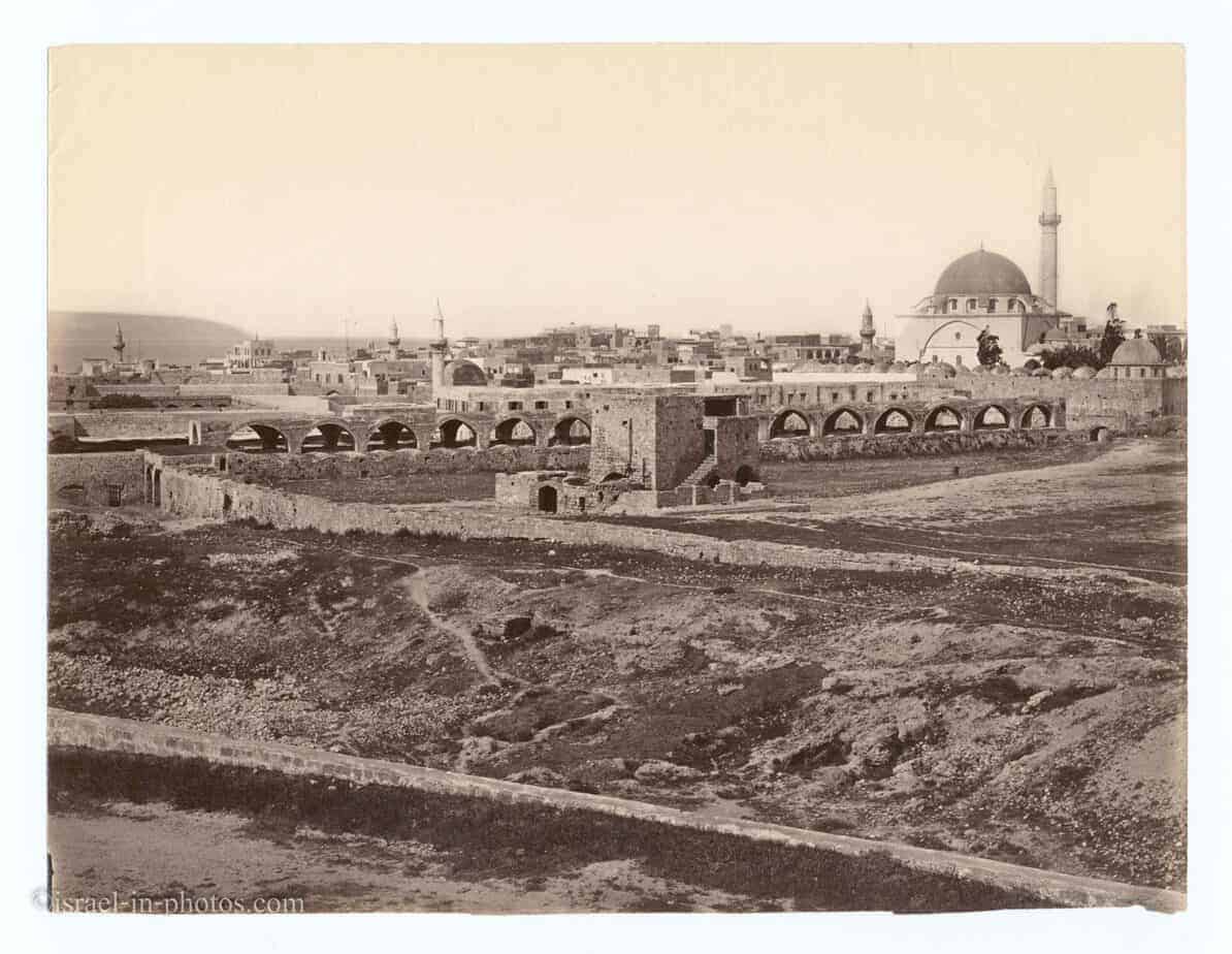
This photograph was probably made from old Acre walls. But, today you can’t get the same view. Trees grew and buildings were constructed. So, today the best you can get from the old city walls is this:
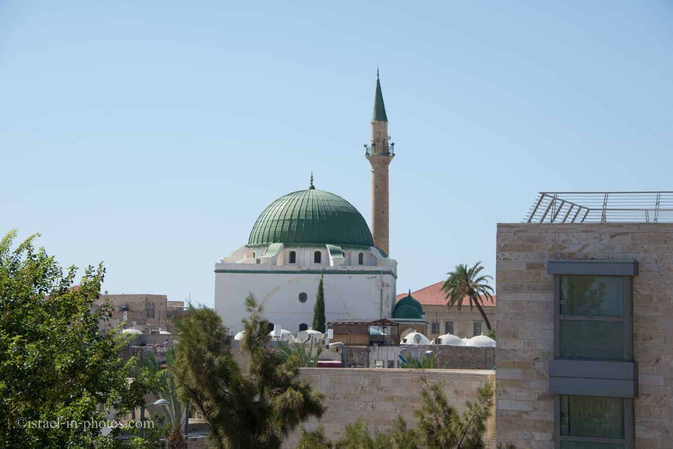
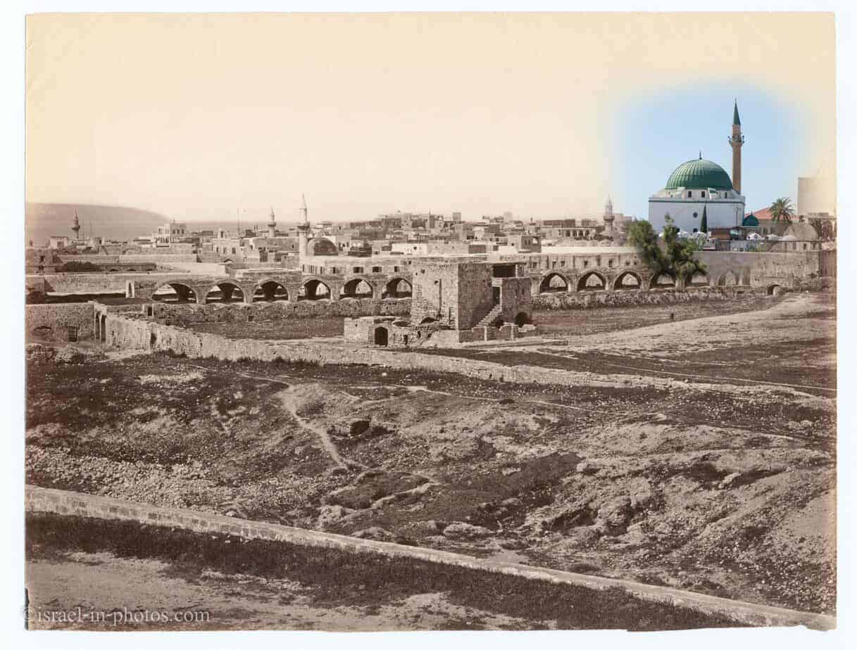
Thus, I decided to merge modern Jezzar Pasha Mosque into an old photo:
 BTW, if you want to read about Acre check out Acre Guide.
Then and Now Photos – Haifa
This still imaged called “Haifa, at the foot of Mount Carmel” was taken somewhere between 1881-1884 by Sir Charles William Wilson:
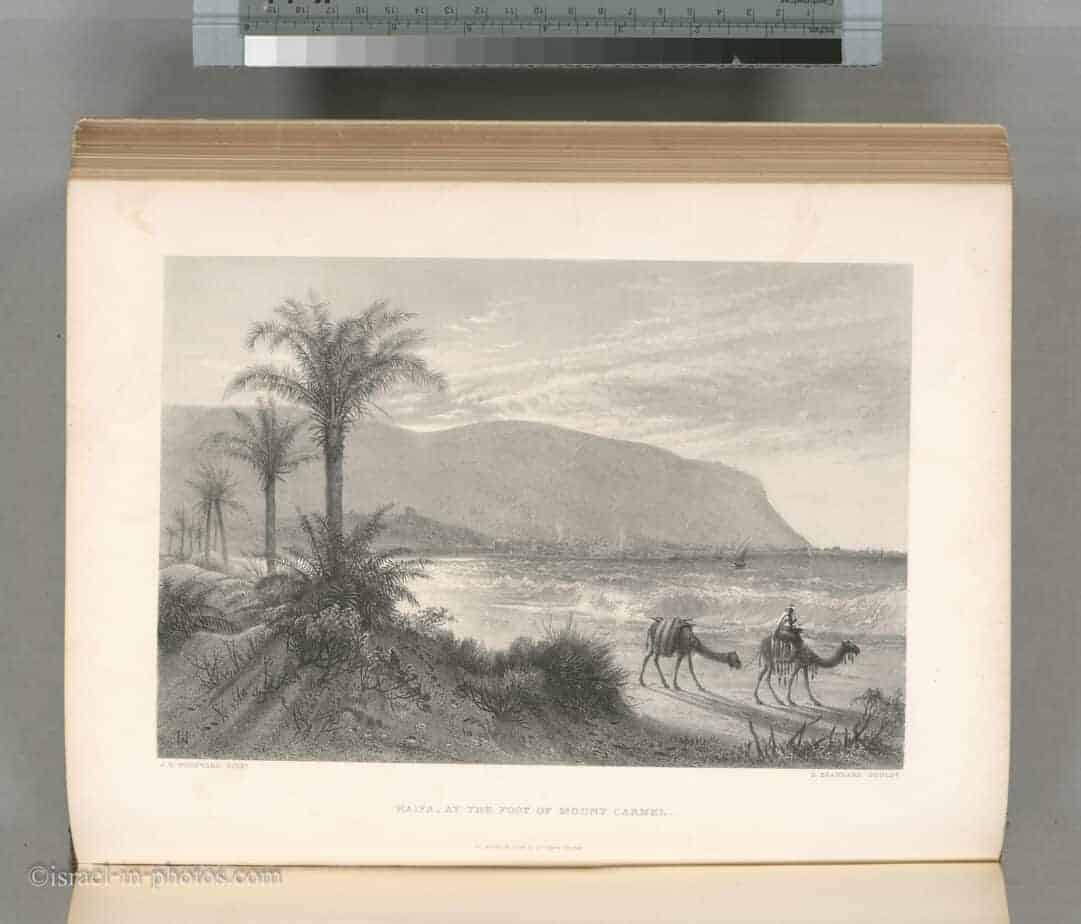
Sir Charles William Wilson (1836 – 1905) was a British military officer and geographer. And he’s probably most known (at least to me) for Wilson’s Arch (during 1864 when he worked at the Ordnance Survey of Jerusalem and he identified the eponymous Wilson’s Arch).
This is a photo I made about a month ago:
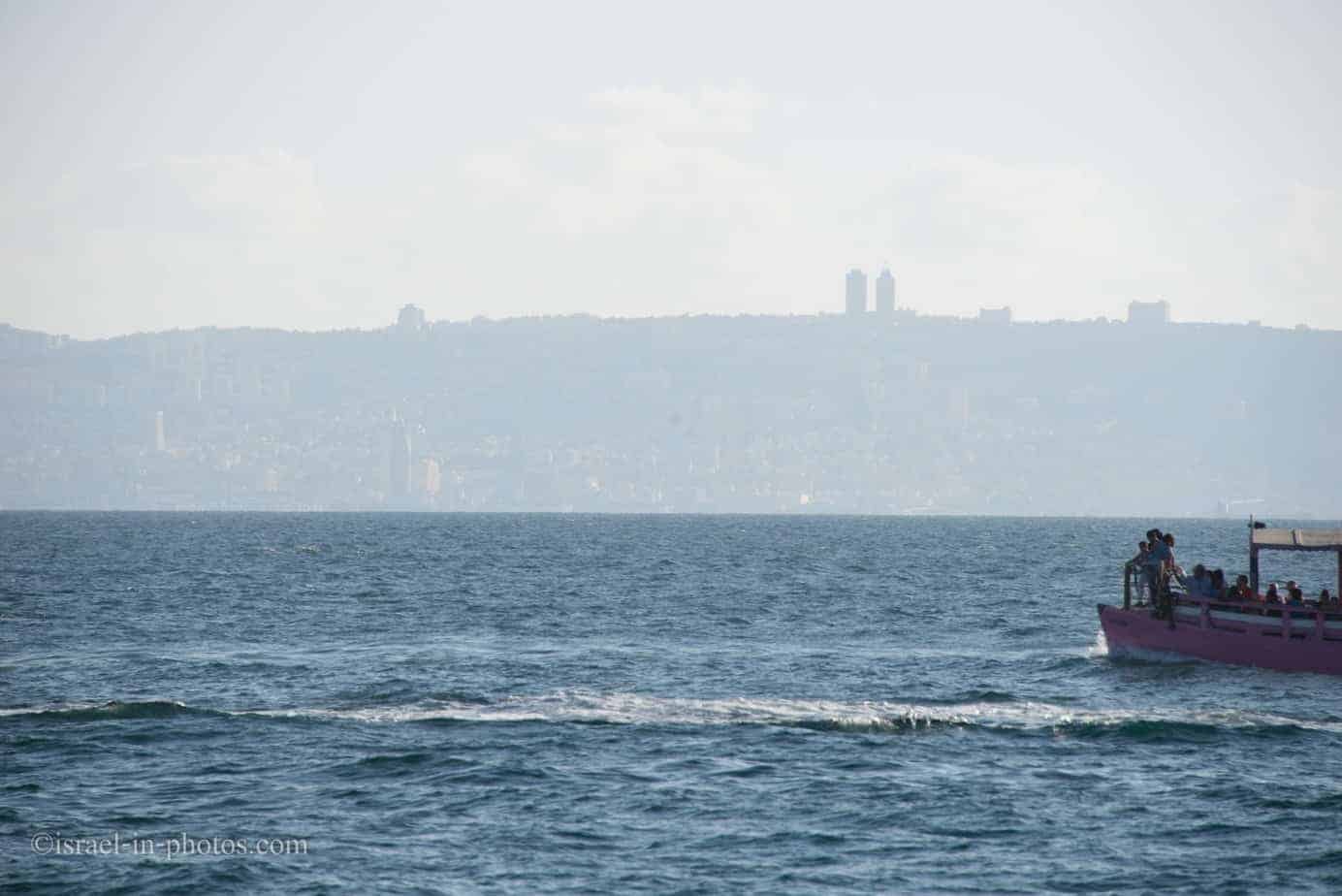 It’s Haifa, as seen from Acre port.
And this is the combined photo:
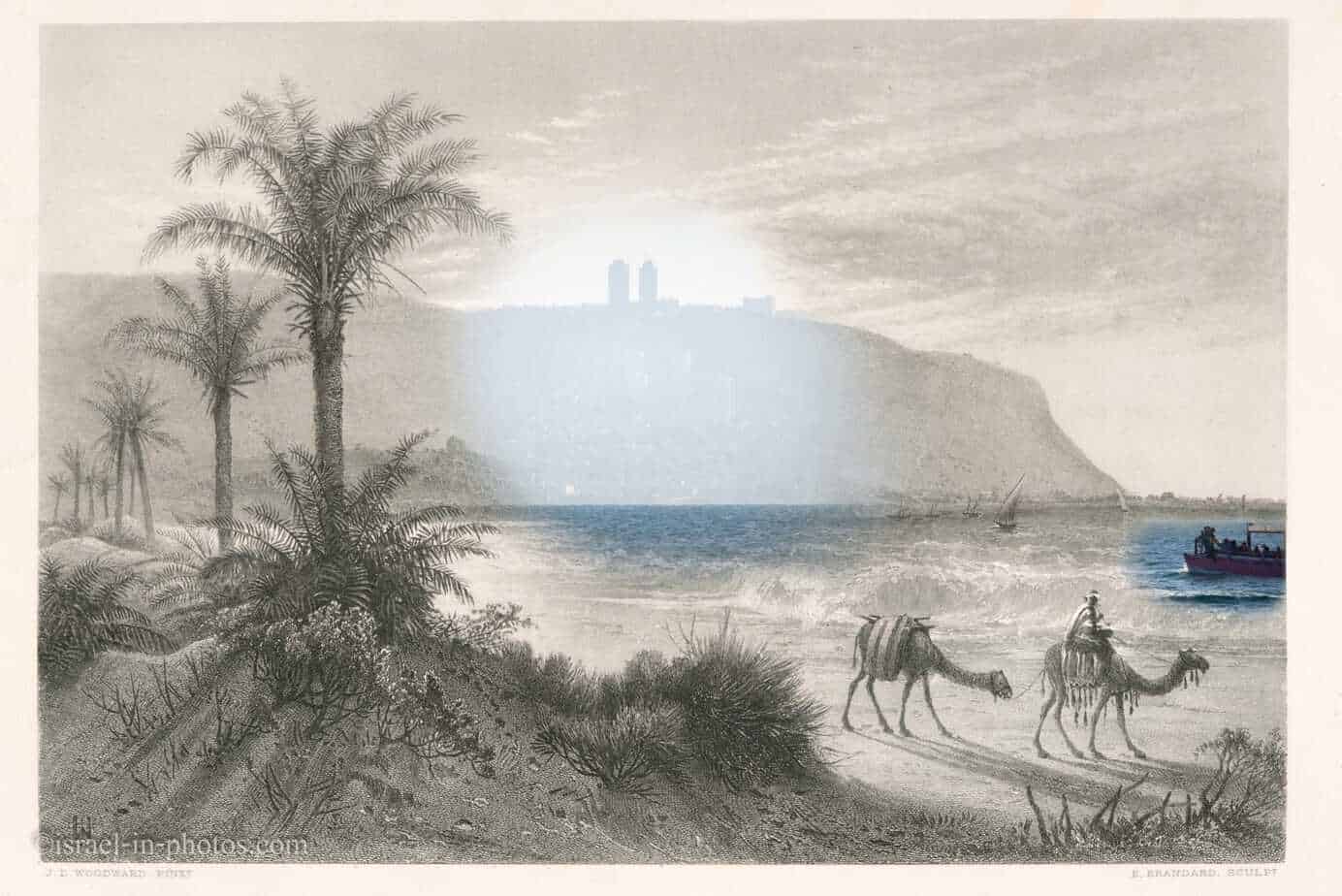
That’s all for today. Hope you liked Then and Now Photos and I will see you in the next posts.
You can find similar posts under the Personal Projects category.
Stay Tuned!
Additional Resources
Here are several resources that I created to help travelers:
- Trip Planner with Attractions and Itineraries is the page that will help you create your perfect travel route.
- What is the Best Time to visit Israel? To answer this question, we will consider the weather, prices, holidays, festivals, and more.
- Information and Tips for Tourists to Israel will answer the most common questions tourists have about Israel (including safety, passports, weather, currency, tipping, electricity, and much more).
- Israel National Parks and Nature Reserves include a complete list, top ten, map, tickets (Israel Pass, Matmon, combo), and campsites.
- If you are looking for things to do, here are the pages for Jerusalem, Tel Aviv, Haifa, Sea Of Galilee, Akko (Acre), Eilat, Nazareth, Safed (Tzfat), and Makhtesh Ramon.



Amazing and amazing!!!
תודה רבה