Tel Hadid – Visitors Guide
The Tel Hadid observation deck in Ben Shemen Forest offers beautiful views of central Israel and is next to a KKL-JNF recreational area.
Table of Contents
Map
Tel Hadid is located in the northern part of Ben Shemen Forest.
Directions for drivers: Link to Waze and Link to Google Maps
Directions for public transport: Link to Moovit
Interactive map of the area:
Parking
There are many parking spaces available, and you can park for free either near Tel Hadid or in other locations.
Opening Hours
There are no signs regarding opening hours. You can enter for free anytime. However, there is no artificial light, so visit only during the day.
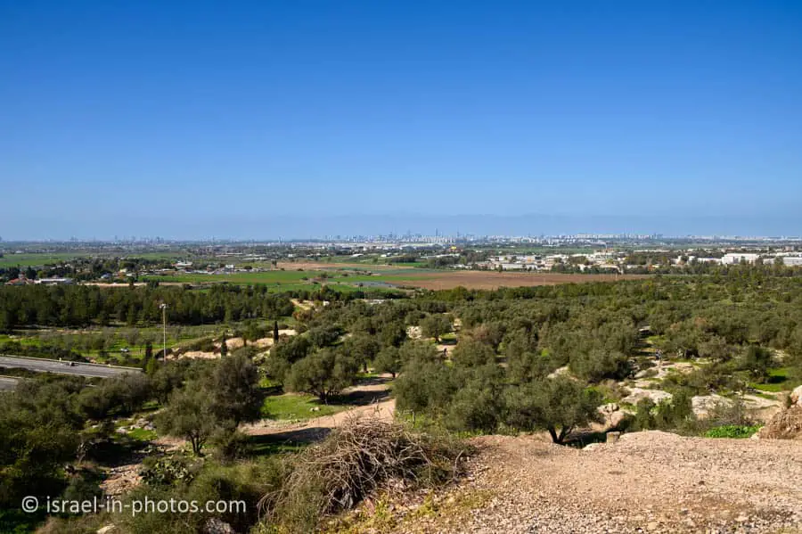
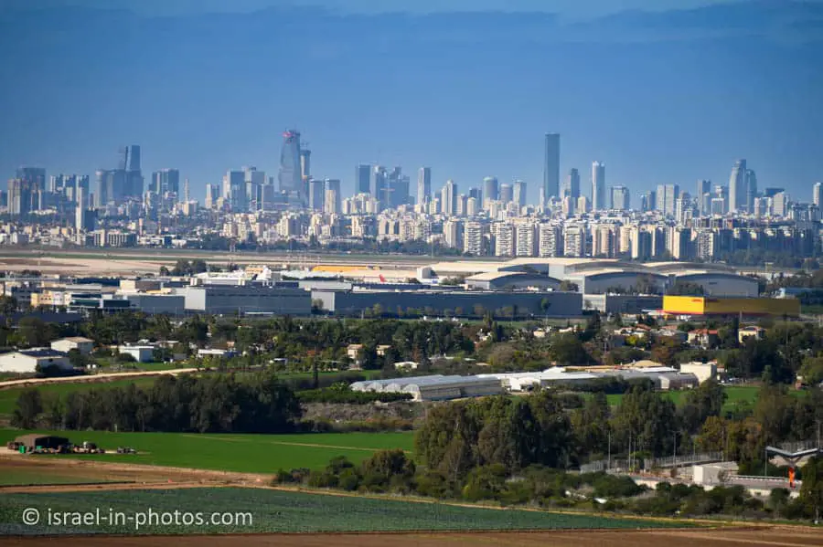
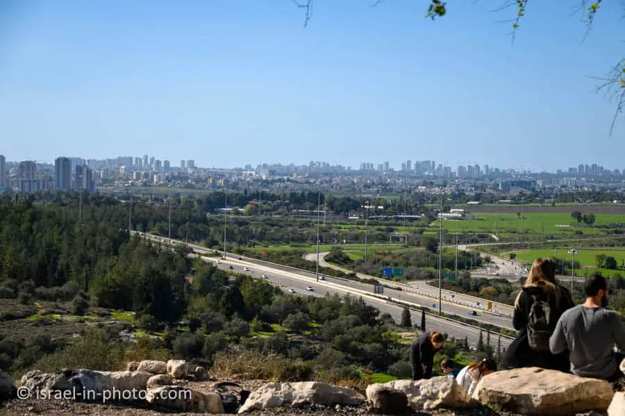
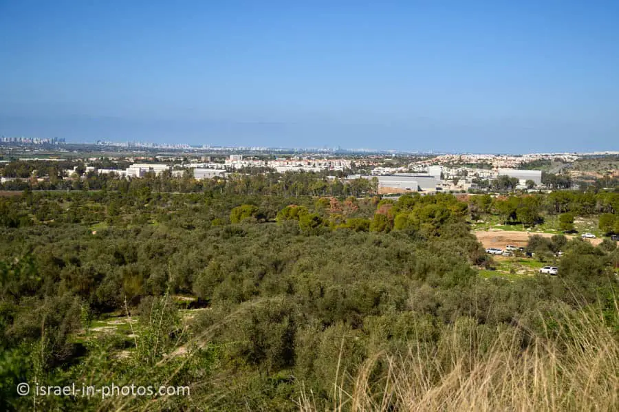
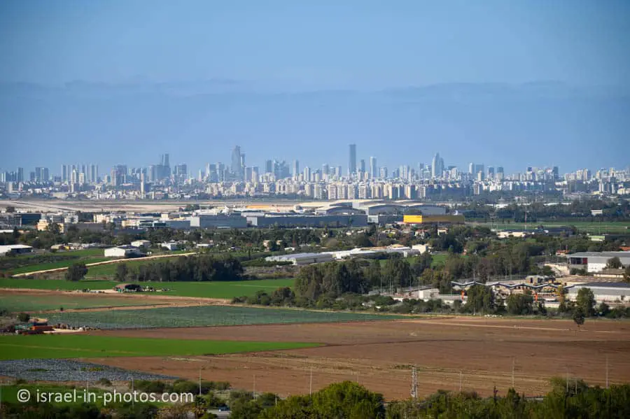
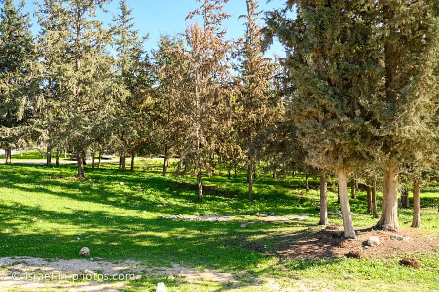
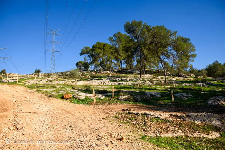
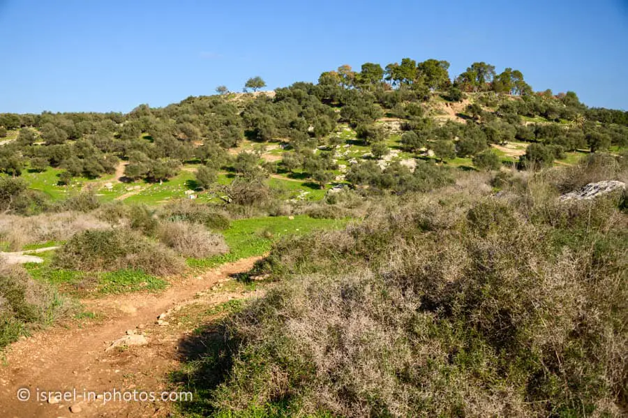
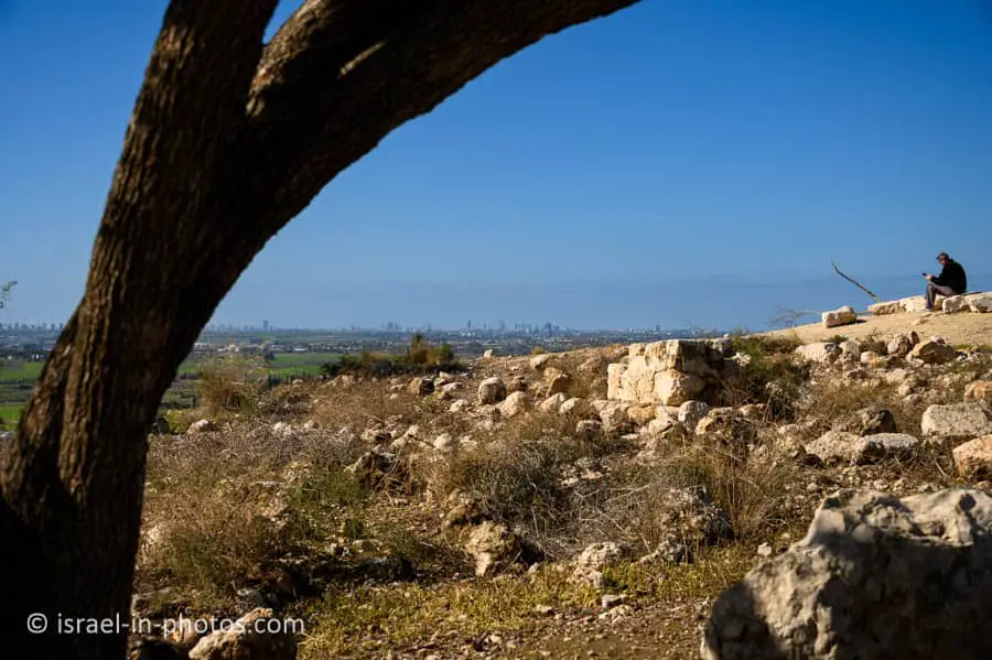
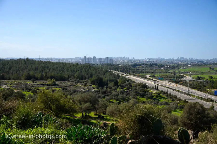
The Observation Point
Tel Hadid is situated on the hill closest to the coastal plain. Therefore, from the observation deck at the top of Tel Hadid in Ben Shemen Forest, one can overlook the area between Petah Tikva, Lod, Ramle, and Tel Aviv.
Here are several photos:
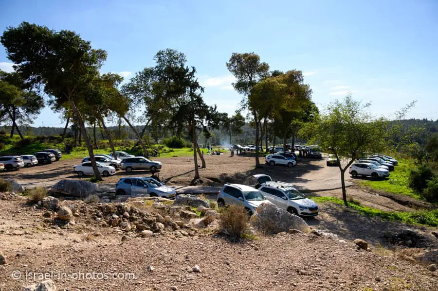

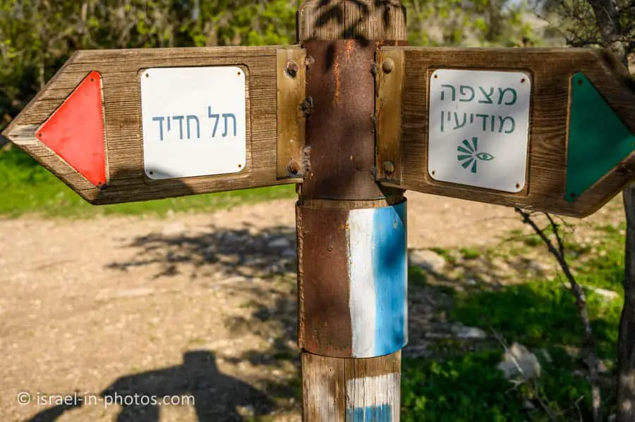
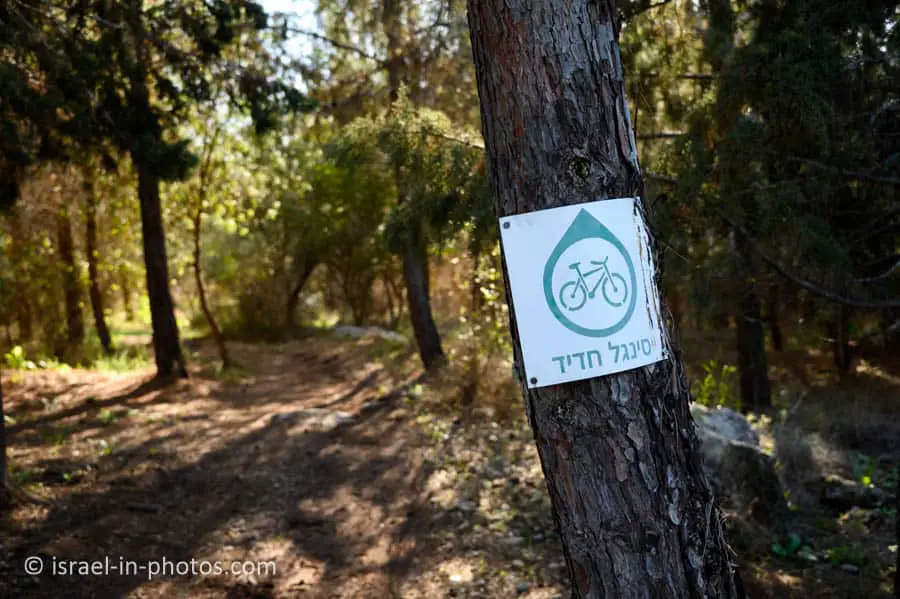
Trails
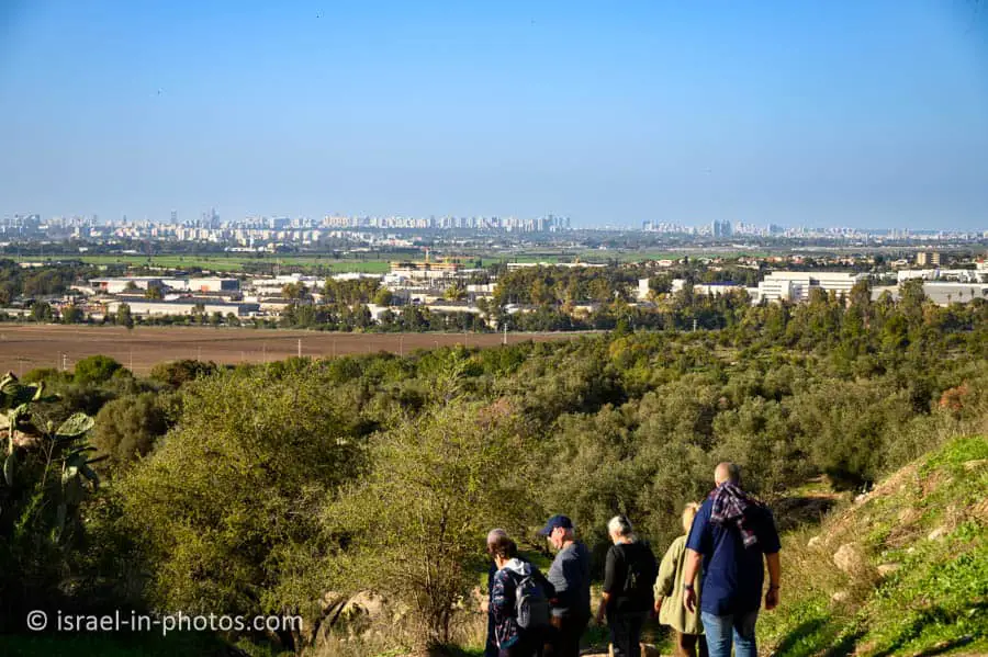
Many people arrive at this forest to have picnics. But we decided to hike.
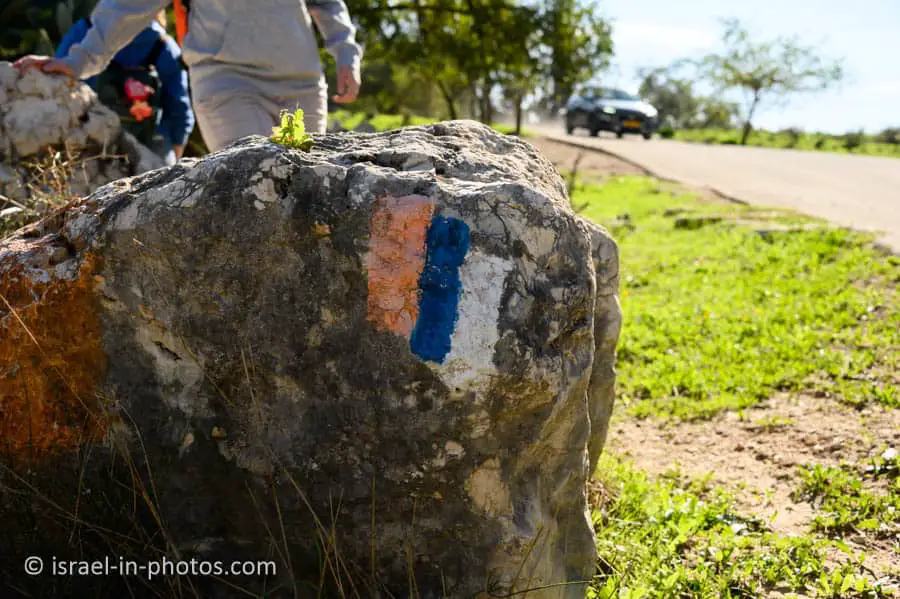
Notes:
- The Israeli National Trail passes through this area.
- Besides hiking trails, there are also cycling trails. But be careful, as we saw horseback riders using the cycling trails.
We started at Tel Hadid and made a two-hour loop trail. Here is an interactive map from israelhiking.osm.org.il where the trail is marked:
| Description | Stratring Point | Ending Point | Distance (km) | Total climb and descent (meters) | Notes |
|---|---|---|---|---|---|
| Loop trail | Tel Hadid | Tel Hadid | 2.3 | 114 |
Notes:
- You can easily modify our trail to make it shorter or longer. There are numerous trails and jeep roads in this area.
- Most trails are not marked, so keep the general direction.
What Ages is this trail Suitable for?
All the trails are easy and suitable for families.
Entrance Fee
Free.
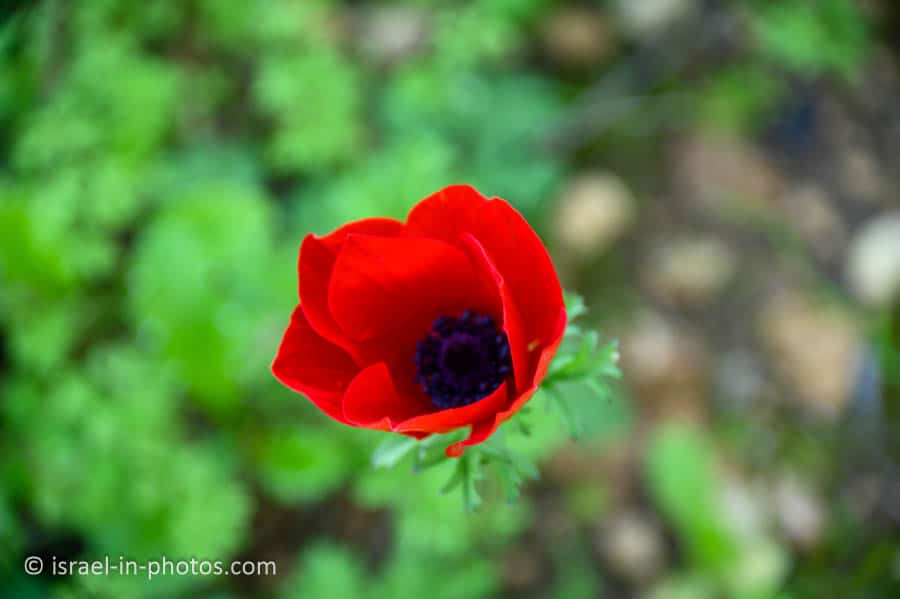
When to Visit?
We visited at the beginning of January, which is not the best time of year for nature hikes. Spring is typically the ideal season for this.
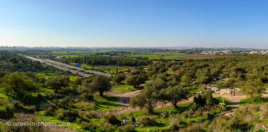
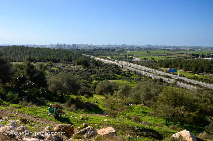
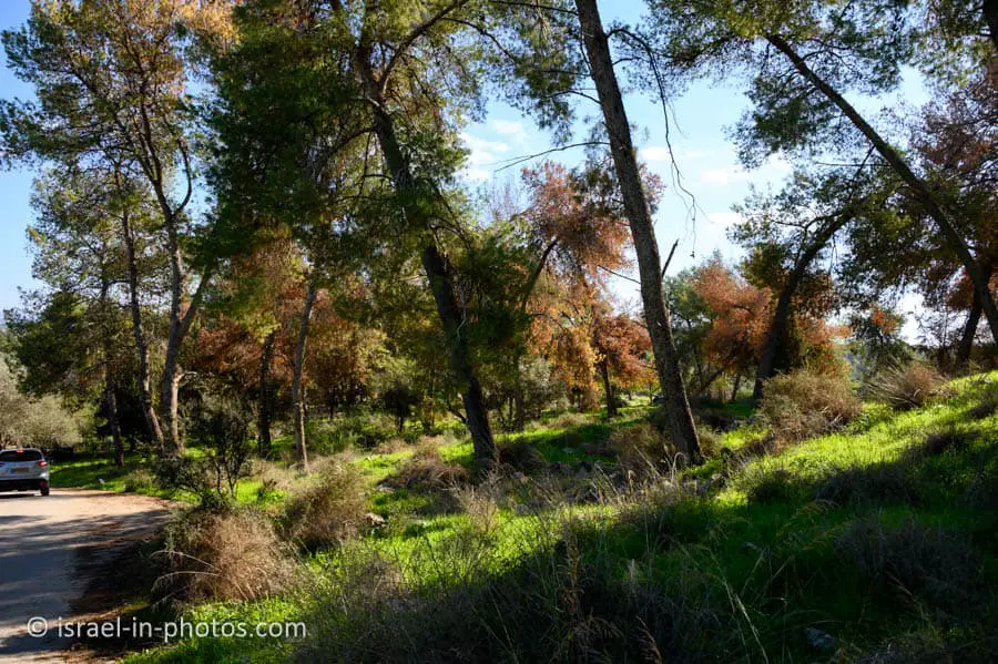
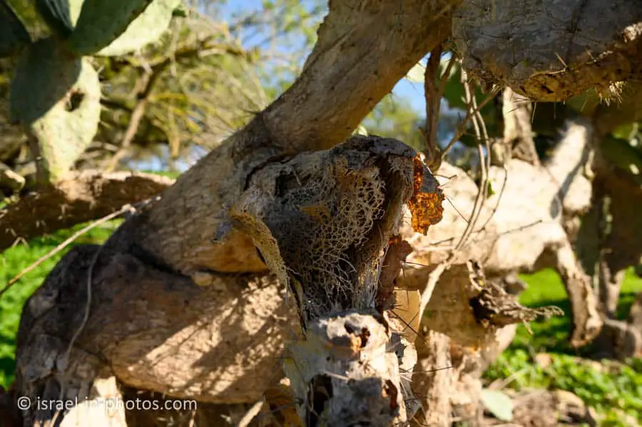
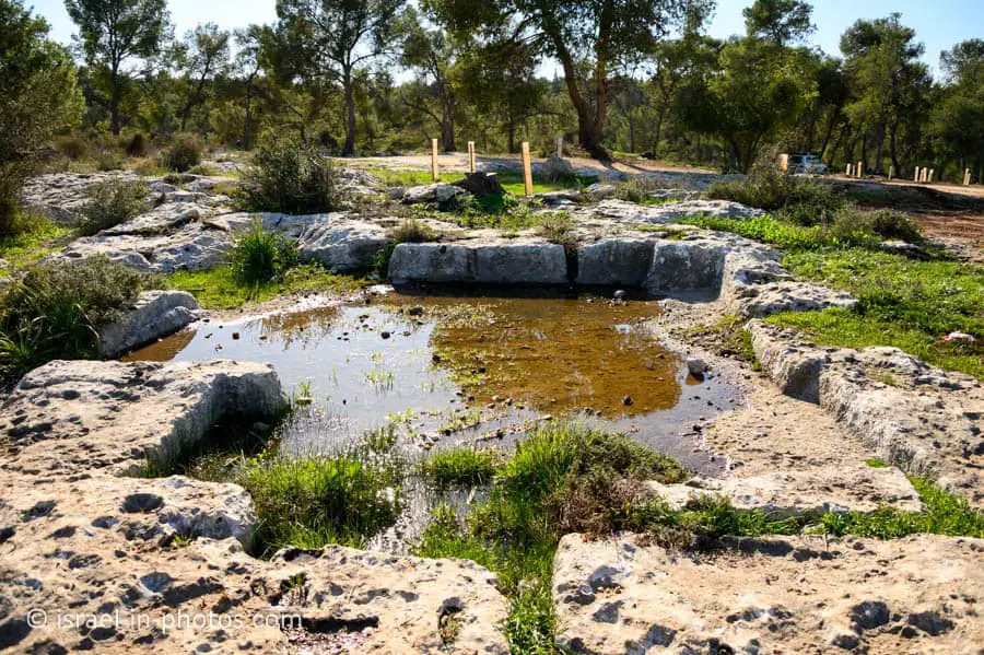
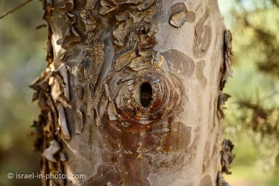
Hiking at Tel Hadid
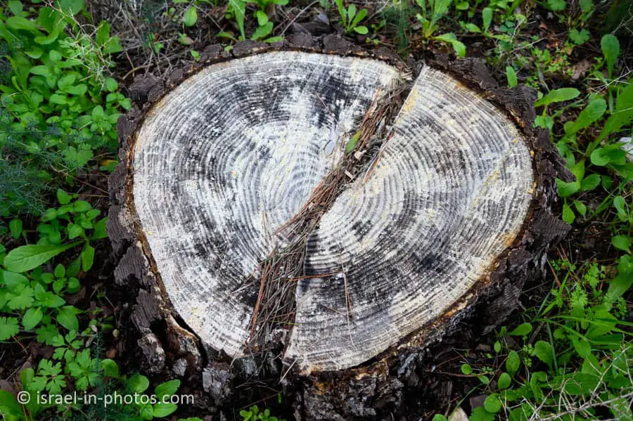
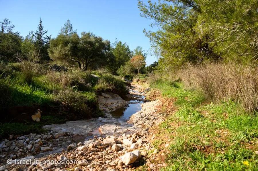
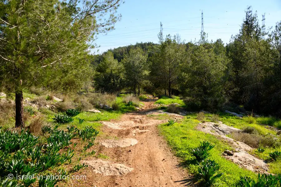
Here are several photos from our hike:


About Tel Hadid
Tel Hadid is an isolated hill, 147 m above sea level, south of the Naḥal Natuf, a tributary of Naḥal Ayalon. It is centrally located some 15 km southeast of Tel Aviv and 25 km northwest of Jerusalem: a visitor to Tel Hadid observes the Lydda Valley to the south and the west; the entire Tel Aviv Metropolitan Area is spread further westwards and northwards; and the al-Jib Plateau is seen to the east and the rolling hills of Samaria/Jibāl Nāblus are further to the northeast.
The local rock in this area is chalk covered by a Nari (hard limestone) crust. Accelerated processes of chalk decay created many natural caves and fallen debris, commonly found across the site. Most of Tel Hadid is currently covered by olive plantations cultivated by the inhabitants of the village of al-Haditha and by pine trees planted by the Jewish National Fund. Remains of houses and the cemetery of al-Haditha are still noticeable on the ground.
Identification and Early History of Hadid
During early scholarship, led by Church Fathers such as Eusebius (260/265–339/340 CE), Haditha (Greek: Άδιθά or Aδιθα) was identified as the site of Adithaim, a town in the allotment of Judah (Joshua 15:36). Similarly, the famous Madaba Map (part of a mosaic floor from sixth century CE church of Saint George at Madaba, Jordan), features a village west of Jerusalem with the caption Adiathim that is now Aditha. But Adithaim is to be sought in the Judean Shephelah, further south of the Lydda Valley, and it is clear that the similarity in the sounds of the toponym was behind this confusion. Indeed, a different identification of Haditha was suggested centuries later, and it was subsequently followed in scholarship. A 13th-century Jewish scholar named Isaac HaKohen Ben Moses (1280–1355 CE), better known by his pen name, Ishtori Haparchi, traveled seven years across the Holy Land and documented his insights on the local topography and toponomy in his book Kaftor Vaferach (Hebrew: כפתור ופרח; literally “Button and Flower”). There, he wrote that the village of Haditha (Hebrew חדתא), located on top of a round hill two hours’ walk east of Lydda, is the place of Biblical Hadid.
Written sources tell us about the history of Hadid during the Persian, Hellenistic, and early Roman Periods. It is first mentioned in the books of Ezra and Nehemiah among the towns settled by those returning from the Babylonian exile (Ezra 2:33; Nehemiah 7:37, 11:34). According to the First Book of Maccabees (12:38, 13:13), Hadid (Greek: Αδιδα) was fortified by Simon Maccabeus (died 135 BCE) during the war with Diodotus Tryphon. The battle between those armies took place in the valley it overlooks. The strategic importance of Hadid was maintained for generations. According to Josephus (Wars 4, 9:1), the Roman general (and later Caesar) Vespasian (9–79 CE), who led the legions against the Jewish rebels, decided to block the ways leading to Jerusalem and chose to fortify Hadid (Άδδιδά). Lastly, a rabbinical tradition (Mishna, Arakhin 9:6) claims that Hadid was among the towns fortified during the days of Joshua.
Source of the two quotes above: Tel Hadid Expedition
Summary
Tel Hadid is a lovely place for a picnic or a short hike. Moreover, since many other points of interest are nearby, you can always combine a visit with other places. Additional attractions can be found on the interactive map at the top of this page.
Have you ever been to Tel Hadid? Tell us about your experience in the comments below.
That’s all for today, and I’ll see you on future travels!
Stay Tuned!
Additional Resources
Here are several resources that I created to help travelers:- Trip Planner with Attractions and Itineraries is the page that will help you create your perfect travel route.
- What is the Best Time to visit Israel? To answer this question, we will consider the weather, prices, holidays, festivals, and more.
- Information and Tips for Tourists to Israel will answer the most common questions tourists have about Israel (including safety, passports, weather, currency, tipping, electricity, and much more).
- Israel National Parks and Nature Reserves include a complete list, top ten, map, tickets (Israel Pass, Matmon, combo), and campsites.
- If you are looking for things to do, here are the pages for Jerusalem, Tel Aviv, Haifa, Sea Of Galilee, Akko (Acre), Eilat, Nazareth, Safed (Tzfat), and Makhtesh Ramon.