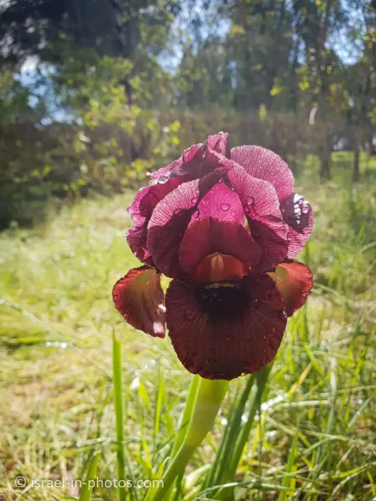
Rosh HaAyin Forest – Wildflowers Trail, Even HaEzer Hill, and more
Rosh HaAyin Forest has hiking trails, including the Wildflowers Trail and Even HaEzer Hill track. Also, there are picnic areas and viewpoints.
Table of Contents
Map
Rosh HaAyin Forest is located in Rosh HaAyin, near the Rosh HaAyin east interchange on road #5.
Directions for drivers: Link to Waze and Link to Google Maps
Directions for public transport: Link to Moovit
Interactive map of the area:
And here is a map of Rosh HaAyin Forest (photo of the KKL sign):
Note: you can click on the map to enlarge it.
Forest Entrances
Rosh HaAyin Forest has two entrances. The main entrance is at Kibuts Galuyot Street, and the second entry is at Derech HaShomron Street.
Here are the details about the entrances:
| Entrance Location | Directions | Allows Access to |
|---|---|---|
| Kibuts Galuyot Street | The entrance is at the junction of Kibuts Galuyot and Nakhal Raba Streets. When I entered “Rosh HaAyin Forest” into Waze, it took me through this entrance. | Wildflower trail, Khirbet ad-Dawir, and picnic areas |
| Derech HaShomron Street | Drive till the end of Derech HaShomron Street and leave the car at the parking. | Even HaEzer |
Trails
Rosh HaAyin Forest offers two lovely loop trails. Here is an interactive map from israelhiking.osm.org.il where the trails are marked:
| Name | Color of the Trail on the Map above | Description | Distance (km) | Total climb and descent (meters) | Notes |
|---|---|---|---|---|---|
| Wildflowers Trail | Blue | During winter and spring, you can see many flowers and hike to the top of the Khirbet ad-Dawir viewpoint. | 1.4 | 116 | There are several steep declines. |
| Even HaEzer Track | Red | Loop trail to the top of Even HaEzer Hill and back. | 1.3 | 78 |
Entrance Fee
Free.
Opening Hours
The gate at the main entrance is open daily from 07:00 till 20:00.

Picnic and BBQ
Picnic areas have tables and dustbins. In some of them, there are small playgrounds for kids.

There are coal bins and stands for BBQ. Thus you can prepare a barbeque.
Restrooms
I visited this forest several times and did not see toilets anywhere.
And now, we will visit the trails.
Rosh HaAyin Forest Wildflowers Trail
The wildflowers trail begins by the pine picnic area. To reach it, enter through the main entrance and take a left at the intersection. You will reach the pine picnic area. There is a red gate (see photo above). You can park by the gate and start hiking.

After several hundred meters, you will see the following sign with a short explanation about the trail.
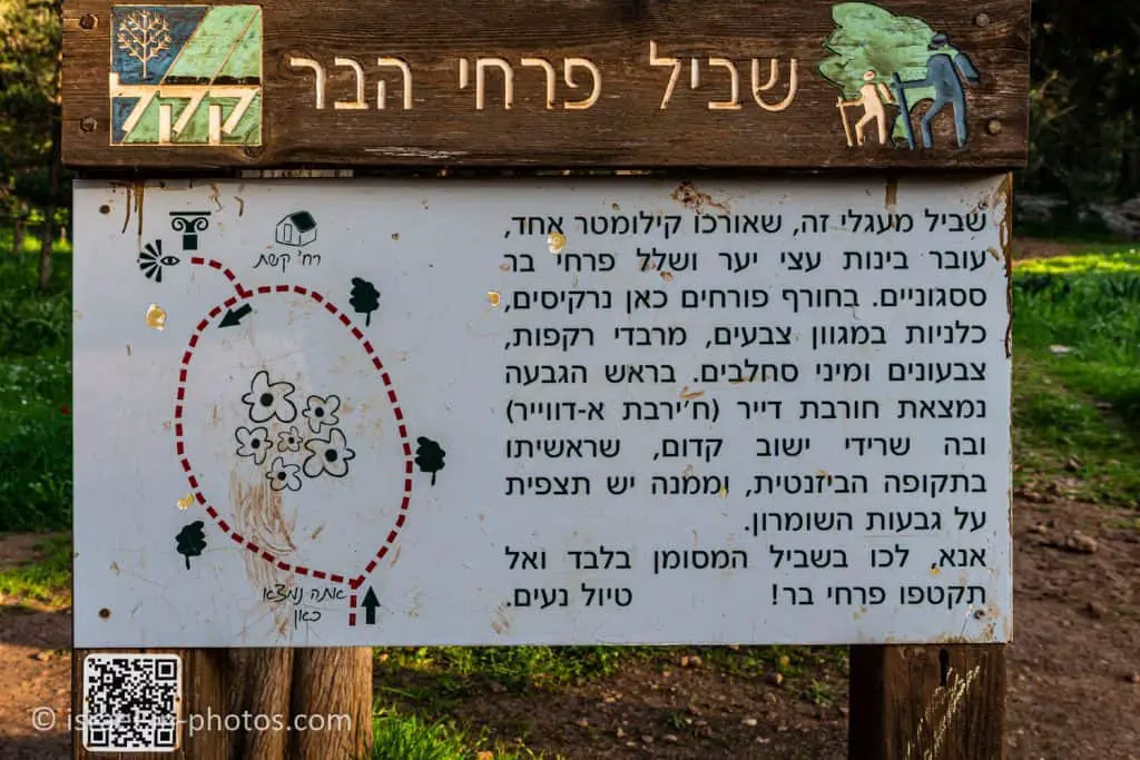
And at this point, the red loop trail begins.

For those who arrive by car, the main entrance to the forest is from the junction of Nahal Raba Street and Kibbutz Galuyot Street. We enter via the main forest road, which is indicated by posts marked in green, and it leads us to the forest’s sites and hidden corners.
Note: One section of the forest, in the east, is intended for walkers and cyclists only, and vehicles are forbidden there. The road follows the route of Nahal Raba, which is one of the tributaries of the Yarkon River. This river is dry for most of the year, but heavy winter rains can cause it to flow abundantly, flood part of the road and altogether impart a European aspect to the forest. When the river is in spate or in flood, do not enter the water!
Further on, we reach a recreation area shaded by eucalyptus trees, picnic tables, and playground equipment are provided. Continuing eastwards, we cross the riverbed and arrive at another picnic area beyond which the road is closed to motor vehicles. From here we can set off on foot to see the forest flowers and the Wildflower Trail. We walk around the gate and continue along the main forest trail, which leads us to the beginning of a footpath that continues for a kilometer. There is a signpost at the start of the path, and the route is marked in red all the way along.
This path, which provides pedestrian access to the Neveh Afeq neighborhood, is circular: it climbs up the hill, before taking us back down to our starting point. It is beautiful at all seasons of the year, but most especially so when the flowers are in bloom.

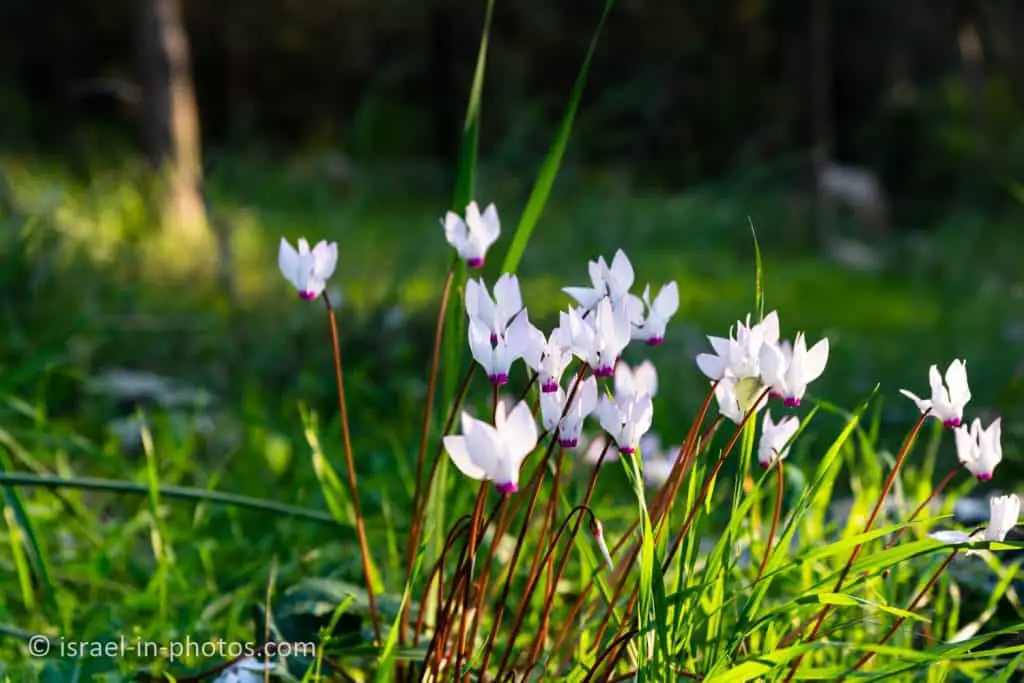
We visited in February and saw mostly cyclamens and some tulips. And depending on the season, you might see different flowers.
A whole host of cyclamen flowers, red and white anemones, tulips, bee orchids, and asphodels can be seen amid the cypress trees, interspersed with the leaves of sea squills (Drimia Maritima), whose tall stalks bloom in autumn in many parts of the forest. As we progress, we find ourselves among pine trees, and the sides of the footpath are edged with rocks that nature has eroded into something resembling works of art. In the winter, the small-flowered Pancratium flowers here. We cross a woodland trail and continue to climb the path up the hill until we reach the lookout point at its summit.
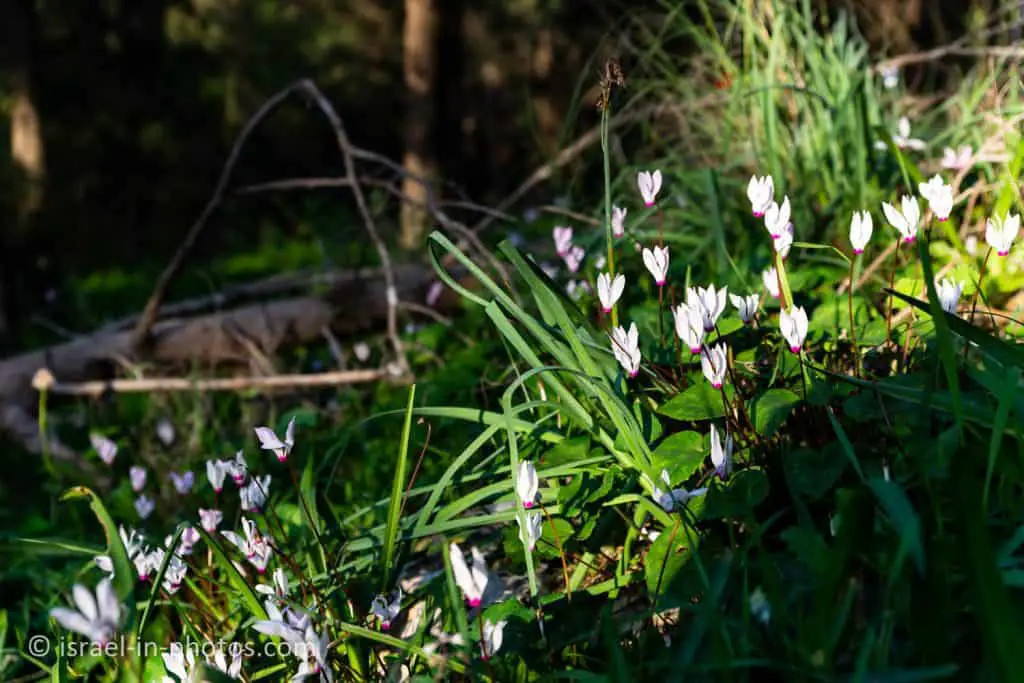


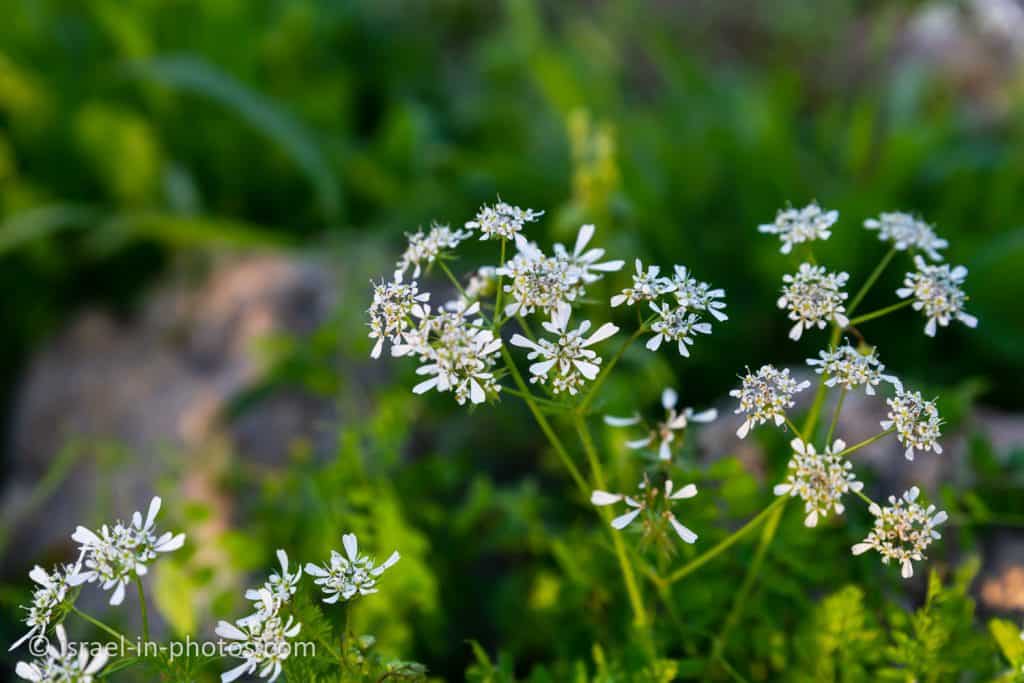
Initially, the path goes on a straight surface, and then you start climbing uphill. Here are several additional photos from the trail.




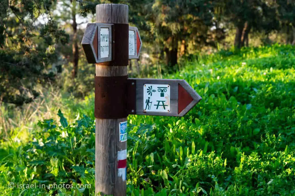
As you almost reach the top, you can see a sign pointing to the ruins and the viewpoint.
Khirbet ad-Dawir
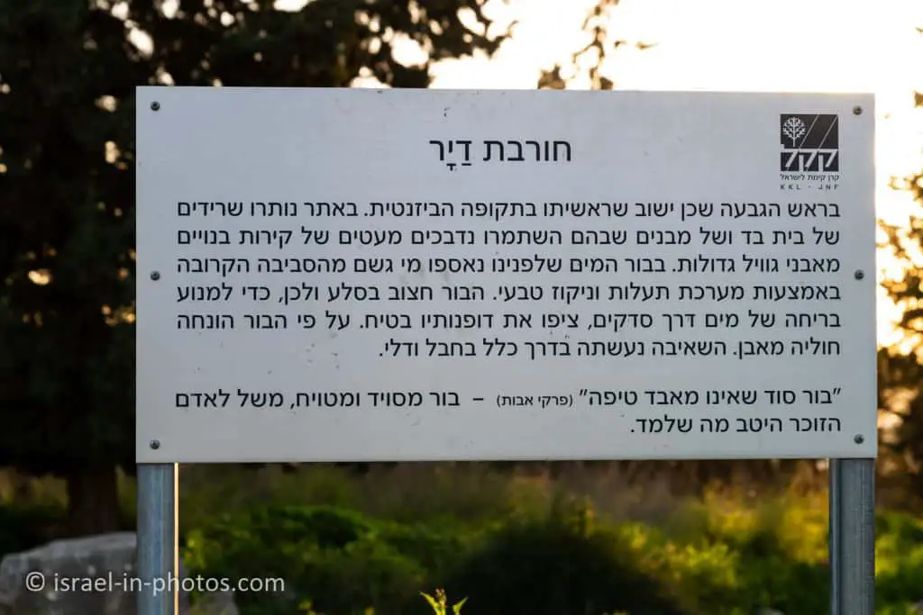
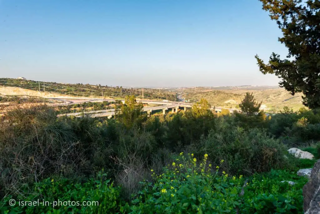
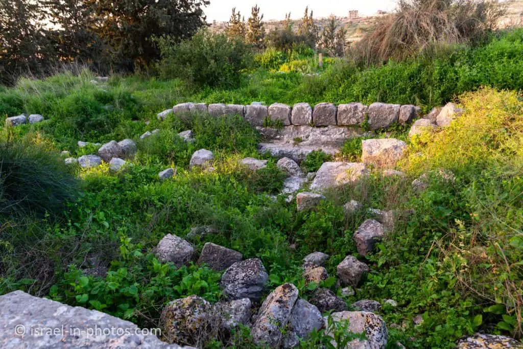
At the top of the hill, there are the remains of an ancient settlement dating back originally to the Byzantine period, now known by the Arabic name of Khirbet ad-Dawir. The remnants of several buildings can still be seen, some of which have several courses of bricks intact. To the east of the site, a square cistern has been hewn into the rock and plastered, and visitors should take care not to stumble over any of the other holes or obstacles at the site. Styrax trees (Styrax officinalis) grow on the hill, and the nearby KKL-JNF observation point offers a view of the entire region: to the east, we can see the hills of Samaria, which are easily identifiable as they are almost totally bare, with only a few trees remaining to remind us that they were once the site of natural woodland. To the north, we can see Kafr Qasim and the Trans-Samaria Highway, with the city just visible to the south. From here, we descend the marked path until we reach the dirt road we crossed earlier.


Here is a view to the east from the viewpoint:
At this point, we turn right and join up with the continuation of the flowering footpath. We take the marked path down the hill amidst carpets of anemones. At this point in the path, we are walking on natural stone steps that can be slippery after rain, so please take care! The pine trees around us are covered with a variety of climbing plants, such as winter-flowering clematis (Clematis cirrhosa) and rough bindweed (Smilax aspera). We continue on down the gentle slope amidst carpets of anemones and cyclamen until we reach our starting point once more.

We started to make our way down the hill. And at this point, I understood that I had made a mistake. Since it is a short path, I thought I did not need a child carrier backpack. But the descent was rather steep, and carrying my daughter on my shoulder was not a good idea. Thus if you have kids at the relevant ages, I would suggest taking a child carrier backpack.

Here are several photos from that part of the trail:


And back to the starting point:
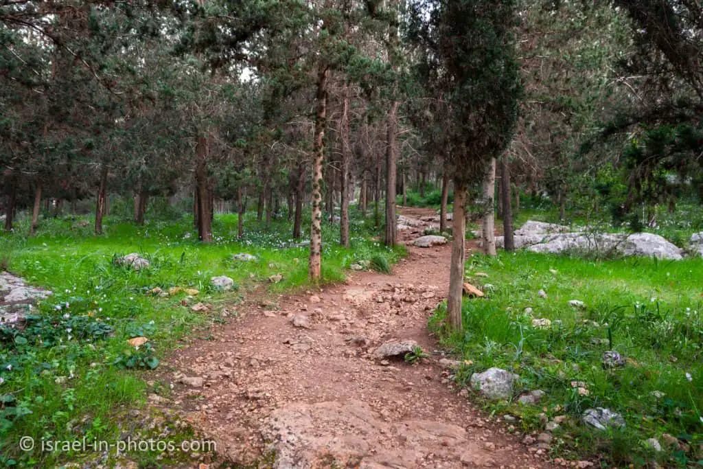
Completing the wildflowers trail took us over an hour, and we enjoyed it a lot (as you probably can tell by the number of photos).
Even HaEzer Track
To reach Even HaEzer, drive to the secondary entrance at the end of Derech HaShomron Street.
At Derech HaShomron Street, you can find a parking lot, and there is a gate at the northern end of the parking (you can see it in the next photo). Even HaEzer track begins near this gate.
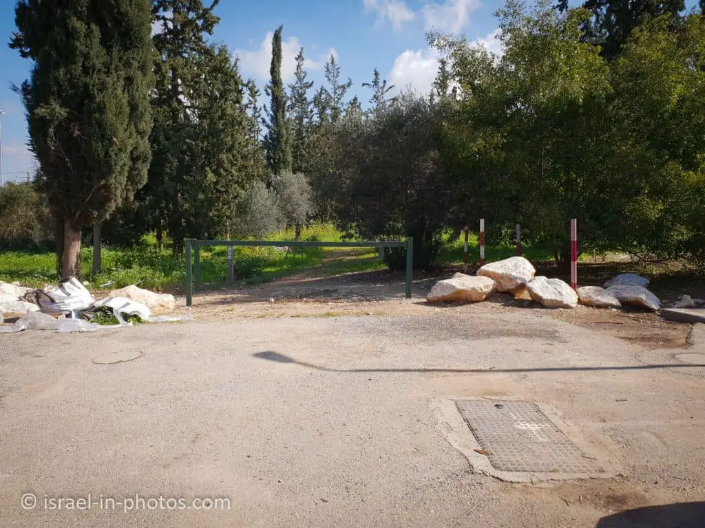
Even HaEzer Track is marked in black.

After several minutes of walking, we reached a sign with info about this trail.
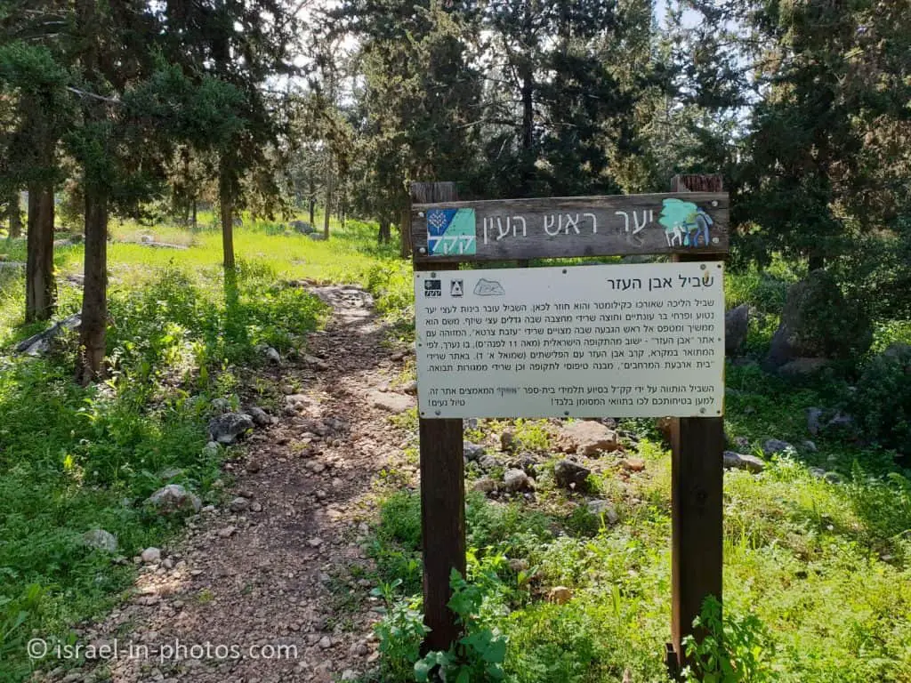
The Even HaEzer Path begins just near the road and the recreation area, and it will take us all the way to the archeological site. The path is indicated by posts marked in black all the way along, and it leads us among clumps of wildflowers: narcissus, cyclamen, anemone, and asphodel. Later we pass by the remains of Mahtzevet HaShezafim (“Jujube Tree Quarry”); this is a very attractive spot, but do please keep well clear of the quarry walls, and on no account try to climb them! We emerge on the north side of the quarry onto the broad dirt road and climb to the top of the hill to the Even HaEzer site, where we can see the remains of an ancient structure.

As you climb, you will see the Rosh HaAyin east interchange on road #5.

On the way, you will see the sign pointing to Mahtzevet HaShezafim.

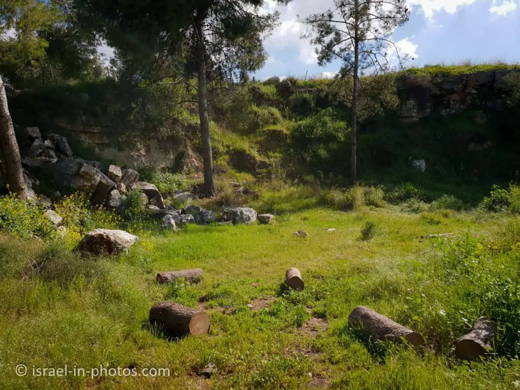
And after an additional short climb, you will reach Even HaEzer Hill.

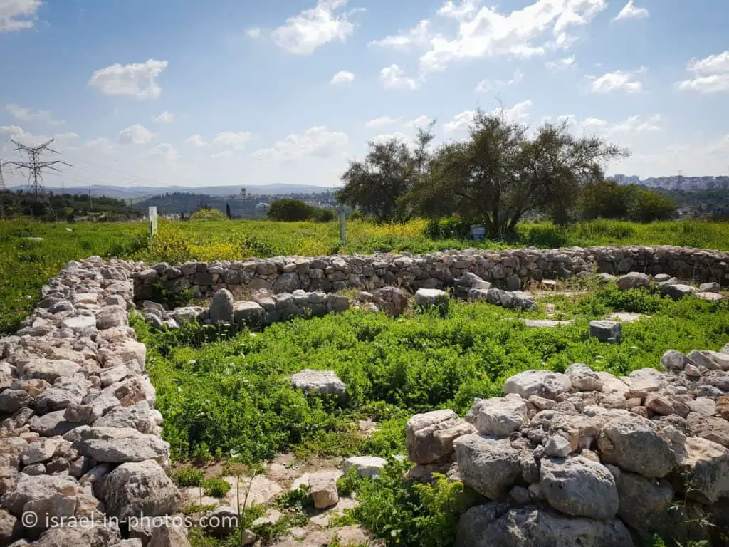
This location, which is referred to today by the Arabic name Izbet Sartah, has been identified as the Biblical site of Even HaEzer (the “Stone of Help” mentioned in 1 Samuel). In the second half of the 1970s excavations were carried out at the site and important artifacts were found from the First Bronze Age, i.e., the middle of the 12th century BCE, which was the period of Israelite settlement after the conquest of the land and the time of David and Solomon’s kingship. The remains of the main building can still be seen, surrounded by pits that were used as granaries for storing wheat and which were sealed off every winter to protect their contents from damage by rain. These early settlers lived off agriculture, raising goats and sheep and growing wheat. In the center, there is a large building surrounded by smaller houses and a large number of granaries situated in the middle of the buildings so they could be defended more easily. The structure of the building is typical of the period and is of the type referred to as a four-room house.
The most important find at the site was an ostracon (i.e., a piece of pottery) with writing on it that has achieved international fame. The line written at the bottom proved to be the most interesting, as it consists of the letters of the ancient Hebrew alphabet, and researchers believe that the entire “document” is a writing exercise composed by a pupil who practiced his letters by writing out the alphabet of his time.
This find is considered to be one of the earliest examples of Hebrew script, and it is on display at the Land of Israel Museum in Tel Aviv. The Even HaEzer area was the site of two important battles between the Israelites and the Philistines, one of which culminated in the capture of the Ark of the Covenant. The site is cared for and maintained by the teachers and students of Rosh HaAyin’s Afeq Ecological Experimental School. Looking westwards from the top of the hill, the visitor has a view of the Coastal Plain and the Gush Dan area. In spring and autumn, however, the most interesting view is the one to be seen in the sky, as hundreds of thousands of migrating birds pass over Rosh HaAyin Forest, which lies directly below one of their migration routes.

You can find many explanation signs about history, geography, and findings. For example, in the following photo, you can see that this site is 3 km west of the Afek Passage (for more info about Afek Passage, see Tel Afek (Antipatris)).


It is a typical Israelite Four-Room House. And I wrote about it in more detail after visiting Tel Hazor National Park.

As mentioned above, the most important find at the site was an ostracon. At the bottom of this piece of pottery, you can see 22 letters of the ancient Hebrew alphabet. It is currently the most complete example found in Israel. And today, it is kept in Israel Museum. Here is an artistic drawing:

Though it is hard to see in the following panorama, you can see big parts of Gush Dan.

And if you want a similar but better viewpoint, I would suggest Migdal Tsedek National Park.

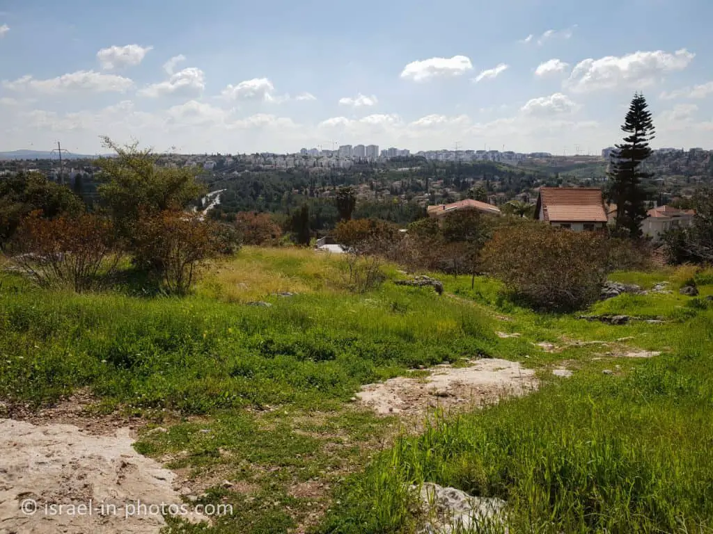
We hiked the Even HaEzer trail, and there were several blooming almond trees.


Summary
Rosh HaAyin community forest is a lovely place close to the center of Israel. Moreover, you can combine several activities, like a hike and a picnic, for a half-day recreation. And lastly, the best seasons for a visit are spring and winter.
I suggest visiting the recently reopened nearby Migdal Tsedek National Park if you want to travel more. And within a short drive, you can also reach Neot Kedumim and Yarkon National Park – Tel Afek.
Have you visited Rosh HaAyin Forest? Tell us in the comment below about your experience.
That’s all for today, and I’ll see you in future travels!
Stay Tuned!
Additional Resources
Here are several resources that I created to help travelers:- Trip Planner with Attractions and Itineraries is the page that will help you create your perfect travel route.
- What is the Best Time to visit Israel? To answer this question, we will consider the weather, prices, holidays, festivals, and more.
- Information and Tips for Tourists to Israel will answer the most common questions tourists have about Israel (including safety, passports, weather, currency, tipping, electricity, and much more).
- Israel National Parks and Nature Reserves include a complete list, top ten, map, tickets (Israel Pass, Matmon, combo), and campsites.
- If you are looking for things to do, here are the pages for Jerusalem, Tel Aviv, Haifa, Sea Of Galilee, Akko (Acre), Eilat, Nazareth, Safed (Tzfat), and Makhtesh Ramon.


