Yarkon River, Tel Aviv – Visitors Guide
While hiking along the Yarkon River in Tel Aviv, we will go over the basics (like a river map) and see what it offers.
Note: this river begins at Yarkon National Park.
Table of Contents
Map
Map of the area:
Here is a map of Yarkon River and the attractions around it:

You can also find this map on the official site at http://www.park.co.il/files/maps/ganeiyahoshua-m.pdf
Yarkon River
The source of the Yarkon River is at Yarkon National Park, not far from Petah Tikva. It flows west through Gush Dan and Tel Aviv’s Yarkon Park into the Mediterranean Sea.
Yarkon probably comes from the Hebrew word “Yarok,” which means green. Though not sure whether the intention was to the greenish water or the plants and trees around it.
You can find green spaces and various attractions along the river, mostly sports-related. There are also bicycle and running lanes. But I have to warn you, do not try to swim in this river. It is polluted and dangerous (many blame the Reading Power Station for the pollution).
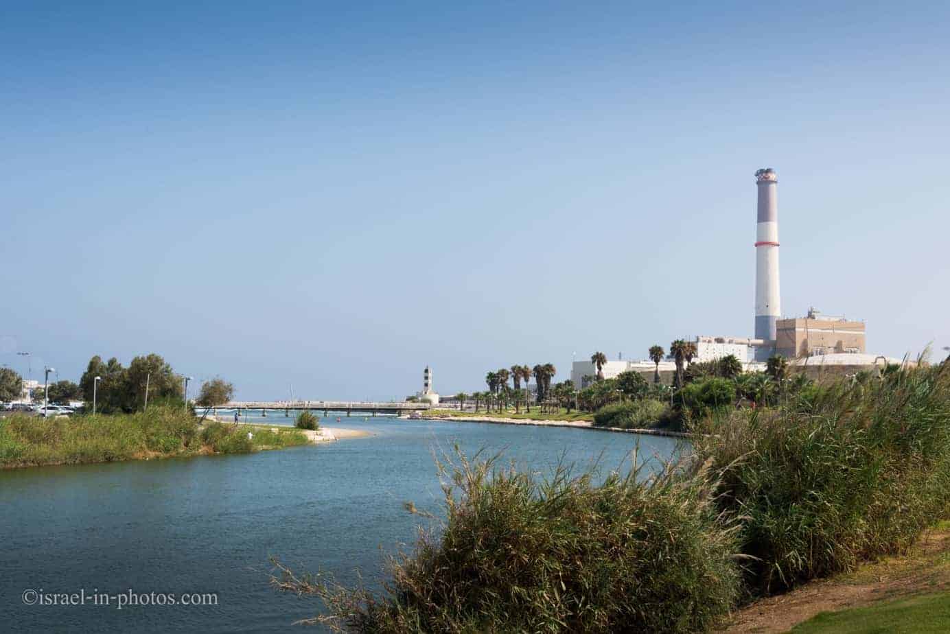
We parked not far from Reading Power Station. There are free and paid parking lots there. If you come early (probably till 10 am), then you can find free parking, later it can be problematic.
Revitalizing the River
Though the river is still polluted, it is getting better. One of the signs is that you can see birds in the water:

In 1988, the Yarkon River Authority was established to revitalize the river and make sections of it suitable for sailing, fishing, swimming and other recreation. Water quality improved after the construction of modern sewage treatment plants in Hod Hasharon and Ramat Hasharon. The river was dredged to restore its original depth and natural flow. River banks were raised and reinforced, hiking and bicycling paths were built, and picnic and fishing areas were developed with the help of contributions from the Australian Jewish community via the Jewish National Fund.
Source: Wikipedia
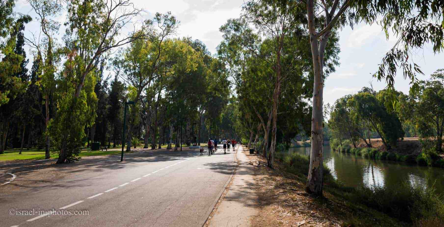
Hiking Along the River
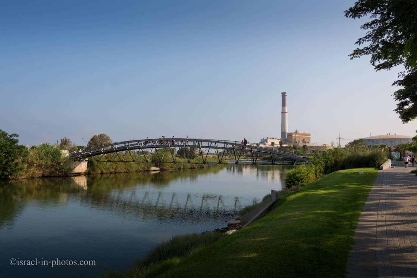
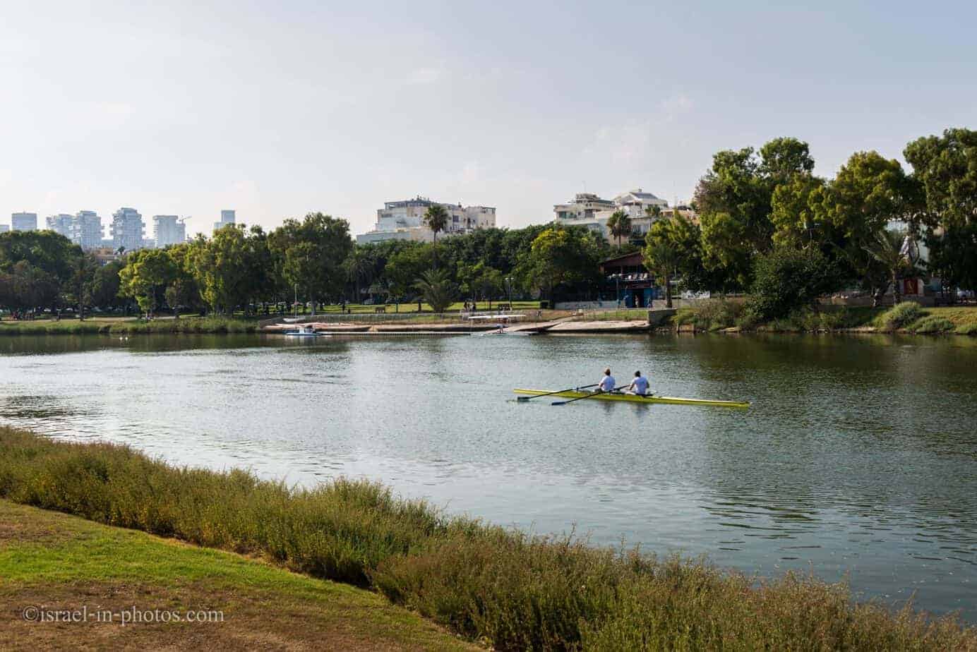
From Reading Power Station, we started to walk to the West. After several minutes we reached the Daniel Rowing Center:
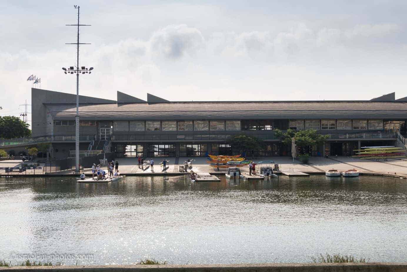
In the mornings, you can see many athletes training in the river:
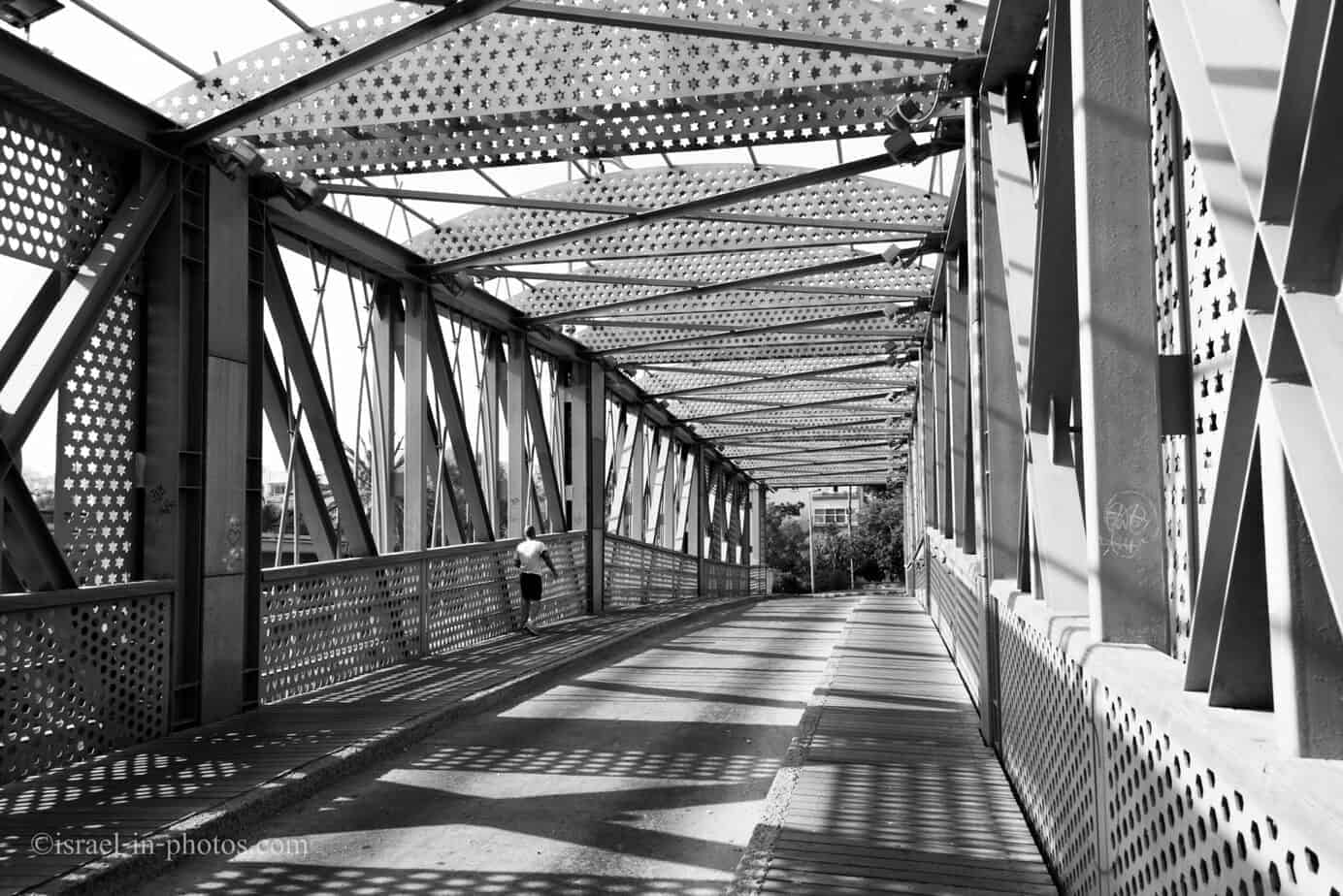
Further ahead, next to Bar Yehuda Bridge:
And if you want to sail at the river by yourself, you can rent a boat at Yarkon River sailing. There are different types of boats, both with engines and without. The only downside is the price. For most types of boats, it starts at 100 NIS per hour. Therefore these boats are usually standing. But this allows me to photograph them 😉

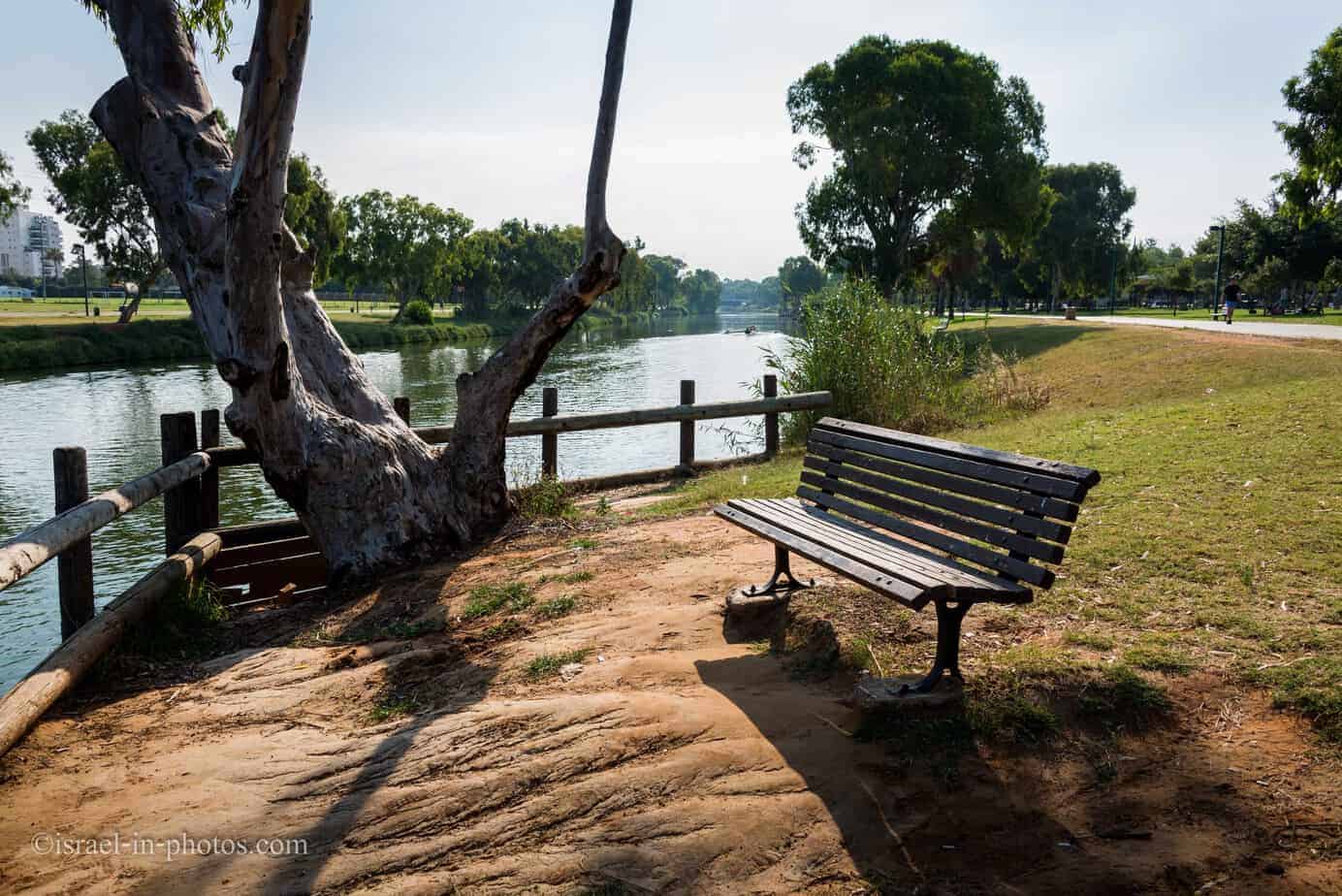
Yarkon view:
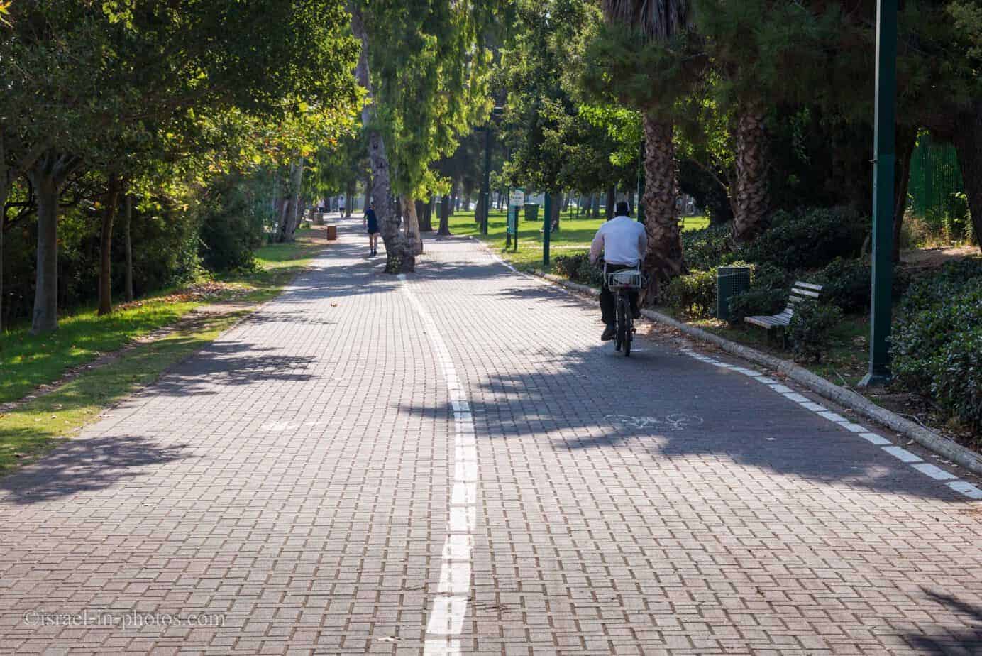
The left side is for pedestrians, and the right is for bicycles:
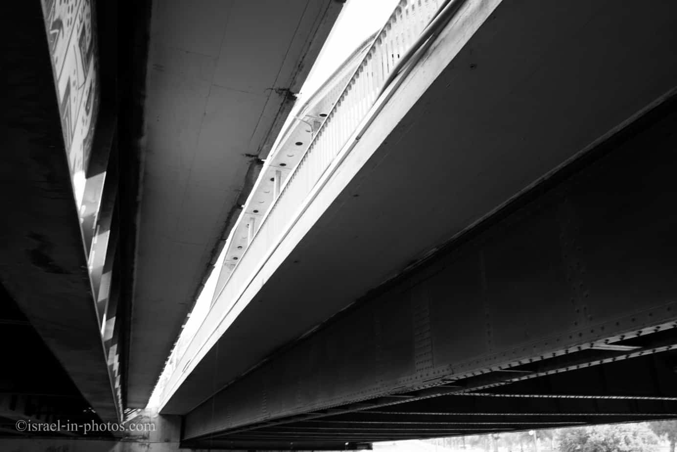
Beneath the Namir Road bridge:
Urban view:

View west from the Rosh Tsipor Bridge:

Cats under the Ayalon bridge:

As you can see on the Rosh Tsipor Bridge, we passed to the other side of the Yarkon River, and this is my last photo before we turned back:
According to google maps, until now, we passed approximately 3 km.
Billboard showing the wildlife species that can be found in this area:

Bent trees:

Back to Namir Road bridge:

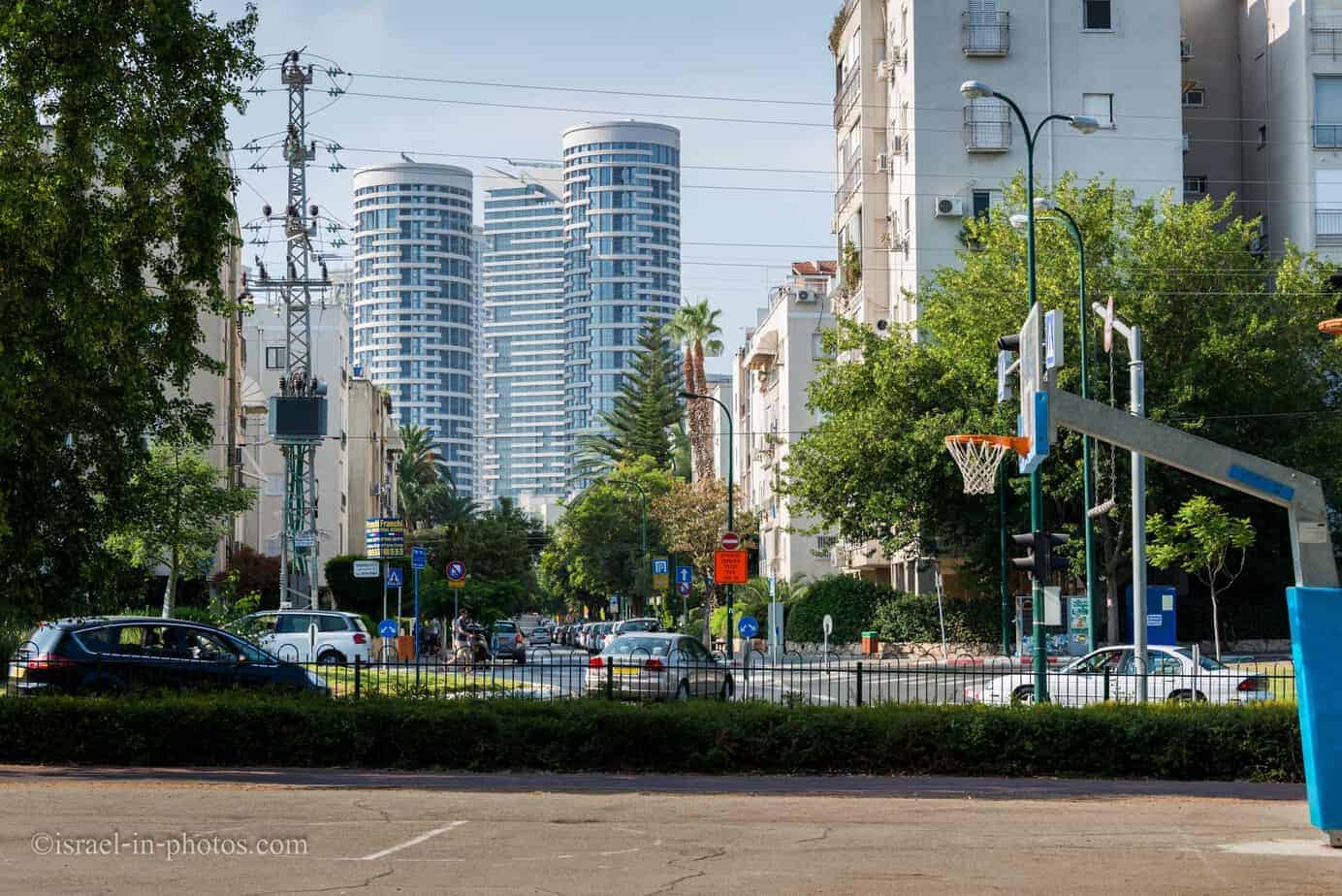
Skyscrapers do not let you forget that you are in the middle of the city:


The route along the northern side of the Yarkon River is part of the Israel National Trail (the trail that crosses the entire country of Israel). Thus, at least some people consider this route along the river as one of the more beautiful ones Israel has to offer.
Israel National Trail markings:
And we are back to Reading Power Station:
Breakfast at Tel Aviv Port
Then we went to Tel Aviv port in search of breakfast. And again, our experience was mediocre. Tel Aviv port is a tourist spot, and there are not many good restaurants there. Thus, check ratings before selecting a restaurant or a cafe.
Note: this is not longer true, see my guide to Tel Aviv Port.

And I will finish with a photo of a dog waiting for its owners next to a restaurant. I am not a fan of people leaving their dogs in such a manner, but at least this dog’s owner left him a cup of water.

That’s all for today, and I’ll see you in future travels!
Stay Tuned!
Check out the Tel Aviv-Yafo page for additional attractions nearby.
Additional Resources
Here are several resources that I created to help travelers:- Trip Planner with Attractions and Itineraries is the page that will help you create your perfect travel route.
- What is the Best Time to visit Israel? To answer this question, we will consider the weather, prices, holidays, festivals, and more.
- Information and Tips for Tourists to Israel will answer the most common questions tourists have about Israel (including safety, passports, weather, currency, tipping, electricity, and much more).
- Israel National Parks and Nature Reserves include a complete list, top ten, map, tickets (Israel Pass, Matmon, combo), and campsites.
- If you are looking for things to do, here are the pages for Jerusalem, Tel Aviv, Haifa, Sea Of Galilee, Akko (Acre), Eilat, Nazareth, Safed (Tzfat), and Makhtesh Ramon.