
Blue Valley Park (Emek HaTchelet), Safed – Visitors Guide

KKL-JNF recently reopened Blue Valley Park (Emek HaTchelet) in Safed. And it has easy trails for families and harder ones for experienced hikers.
Map
Blue Valley Park is near Derech HaAtsma’ut 4, Safed. And here is an interactive map of this area:
Directions for drivers: Link to Waze and Link to Google Maps
Directions for public transport: Link to Moovit
Interactive map of the area:
And here is the map of Blue Valley park:

Note: You can enlarge the map by clicking on it.
Directions
The easiest way to get there is by entering Blue Valley Park or Emek HaTchelet Park into your navigation app. And there is free parking near the entrance gate.
Tracks
Blue Valley Park offers several hiking routes. You can take either the short loop track or a long walk towards the lower pickup station (top left corner on the map).
| Route Name | Description | Length (km) | Notes |
|---|---|---|---|
| The short track – northern section | This circular trail goes between points 1 to 5. | 0.7 | Accessible trail |
| The short route – southern section | This circular trail goes between points 5 to 11. | 1.5 | Accessible trail till #9, and then there are stairs. Use a baby carrier if you want to reach #10. |
| The long path | Route from the park gate to the pick-up point (on the left side of the map). | 4.5 | The lower section of this trail is steep and thus suitable only for fit and experienced walkers. |

Opening Hours
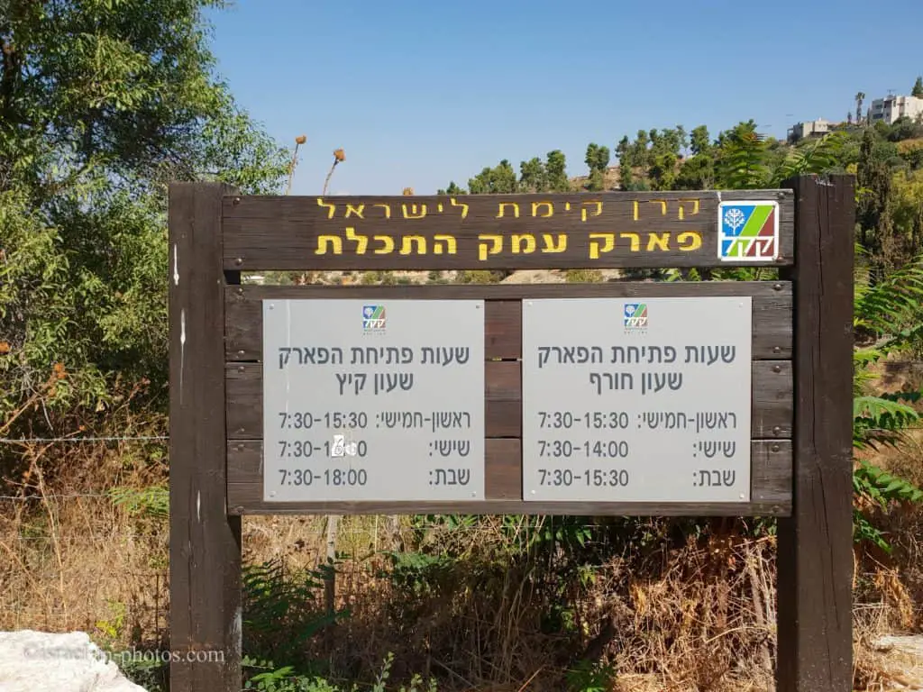
Sunday – Thursday: 07:30 – 15:30
Friday: 07:30 – 16:00 (14:00 during winter).
Saturday: 07:30 – 18:00 (15:30 during winter).
Note: though according to the official site, Blue Valley park is closed on Saturdays, as you can see, the on-site sign states they are open. Moreover, we visited on a Saturday.
Entrance Fee
Free.
Contact Information
Phone: 1-800-350-550
About
Blue Valley Park extends over 580 dunams (approx 145 acres) at the northern approach to Tzfat. Its springs and orchards are overlooked by Mount Meron, which is visible from almost every corner of this park where deer, ibex, and antelope graze among the footpaths. The paths were developed by KKL-JNF, working in conjunction with the Tzfat Municipality, and this partnership has also restored the springs, creating pools, and tended the orchards. The park allows residents of Tzfat and its environs to enjoy nature close to home, while visitors from all over the country will enjoy taking a quiet break in the forest during their exploration of the city of the Kabbalists.
Note: unless stated otherwise, all quotes were taken from the official site.
The Pools
During our visit, we started with the northern route. And then completed the southern trail, which means that we finished the short trail.

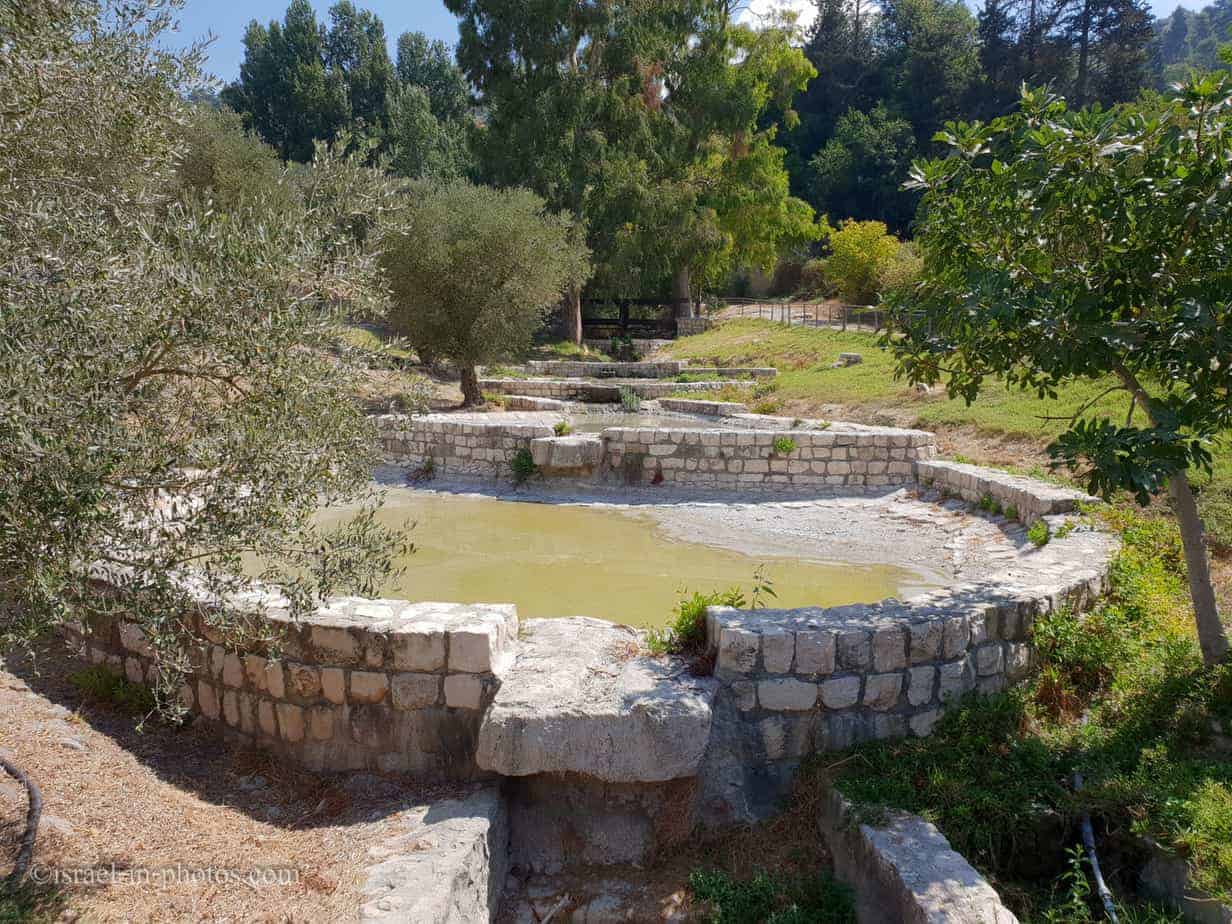
You can find restrooms and a water tap near the split point between the southern and northern routes. Moreover, this is also where you can find the pools (marked as #1 on the map).
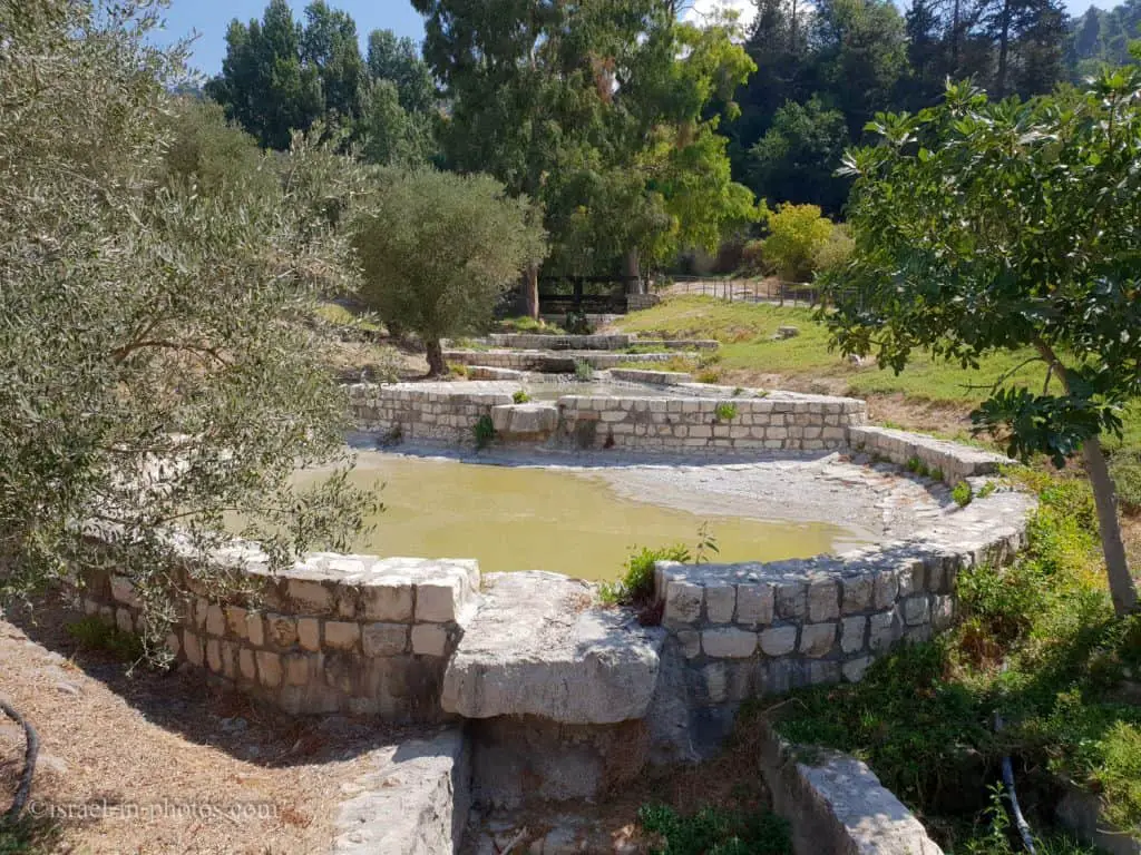
KKL-JNF created two pools along the riverbed, and we saw some ducks there.

The Northern Route
From the pools, we take the northern trail and start climbing up.
From the pools, we turn right along a paved path that runs parallel to Nahal Birya, which rises on the slopes of Mount Canaan and Mount Birya and flows down along the entire length of Blue Valley Park. It drains into Nahal Sechvi, which is one of the tributaries of Nahal Amud.
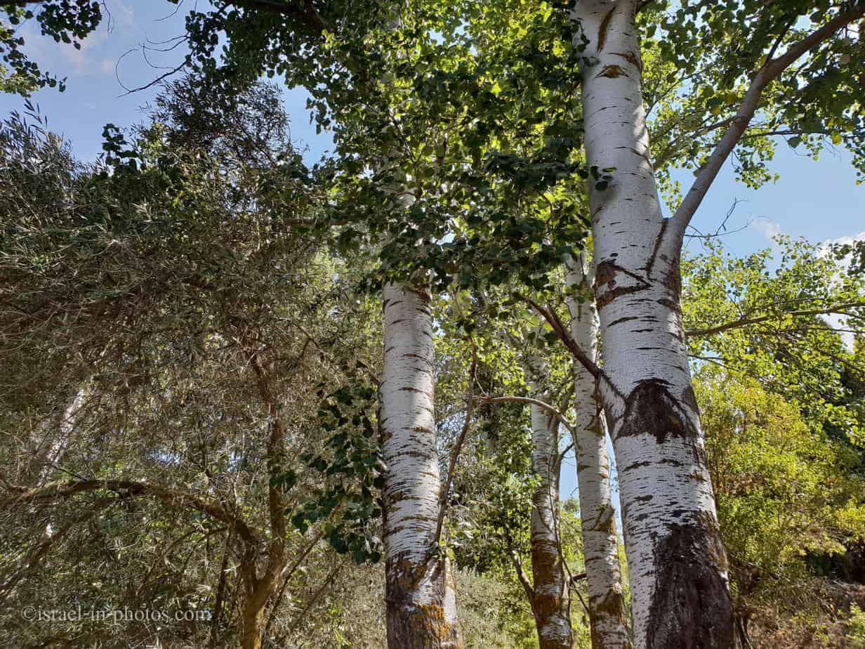
The path makes its way among tall silver poplar trees that create pleasantly cool pools of shade in summer and drop handsome yellowing leaves in winter.


The Blue Spring
We took the trail to the highest point (marked as #4 on the map). And there, you can find the spring that named this valley.
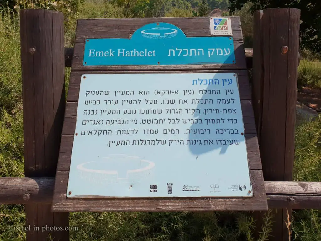
Here the path splits in two, but either route will take us to the next station along the way, which is Ma‘yan HaTekhelet (“The Blue Spring”). The small tunnel that was dug beside the path at some point in the past and which is now lined with hewn stones was designed to increase the spring’s rate of flow, and its water was channeled into a plastered pool from which it flowed down to the small plots of land below. KKL-JNF has restored the pool and built a stone wall on the slope above it to prevent landslides or subsidence of the Meron-Tzfat Highway (Route no. 89), which passes close by. Ancient carobs and fruit trees planted beside the spring by KKL-JNF complete the pastoral scene.


We walked downhill toward point #2.
