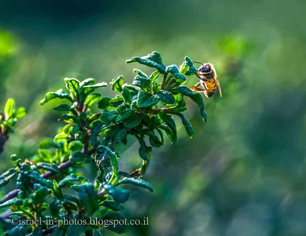
Nahal Gahar – Easy Family Hike near Yokneam – Visitors Guide
Nahal Gahar, part of Ramat Menashe Park, is a short and lovely family trail. The picturesque trail goes along the river inside a forest.
Table of Contents
Map
Nahal Gahar is part of Ramat Menashe Park. It is not far from Kibbutz Mishmar HaEmek, but reaching it is tricky. During our latest visit (March 2024), Waze took us from road #6953. However, we could not turn from the road to the forest due to a police blockade. Thus, we continued along #6953 and left on road #66. The entrance is about 2 km south of Kibbutz HaZorea on road #66.
You can use the Waze and Google Maps links below.
Note: None of us had cellular reception while visiting this area. Hence, open in advance all required information (like directions).
Directions for drivers: Link to Waze and Link to Google Maps
Directions for public transport: Link to Moovit
Interactive map of the area:
Here is a photo of a map that I took during our visit to Nahal HaShofet:
I marked the Ein Gahar picnic area with a white circle. We parked a little before, near the intersection of the river and the road, but this map does not mark that parking.
Note: you can click the image to enlarge it.
Parking
After getting from road #66, turn left. Then, continue straight with the road for about ten minutes till you reach a small bridge above the river.
You will likely not notice the bridge, but you will notice the river. Here is how it will look to your right:

At this point, start looking for parking. The parking is free, and people park along the road when it gets full.
We arrived on a Saturday at about 10:30, and the parking was full. Here are several photos of the parking area:


Opening Hours
There are no gates, and you can enter at any time. But since there is no artificial light, visit only during the day.
Entrance Fee
Free.
Contact Information
KKL-JNF’s Forest Hotline: 1-800-350-550
Trails
You can create various trails here. The one we did was a simple trail along the river. We hiked to the south using the purple trail marking (Megiddo Trail) and returned using the blue trail (Gahar scenic road).
Here is an interactive map from israelhiking.osm.org.il where the most popular trails are marked:
The length of the loop trail is 4.2 km and has a total climb and descent of 110 meters. Since the purple and blue trails go near one another, you can pass at (almost) any point between them, making the hike shorter.


When To Visit?
It is best to visit after the rains, toward the end of winter and spring.
Here are several photos from the first section of the trail:


There are several points I want to mention:
- If you follow the purple trail, you must cross the stream at least several times. It is part of the fun of this trail, and kids love it. And if you want to let them explore more, bring rain boots.
- There is a lot of mud along this track, so bring appropriate shoes.
- There is plenty of shade along the trail, which is a big plus on hot days.
After about 25 minutes of walking, we reached the Gahar recreation area.


Since there are coal collection bins, you can make barbeque.
Here are several additional photos from the purple track:


We walked past the meeting point of Nahal Zehora and Nahal Gahar and reached the small waterfall in the last photo. Then, we switched to the blue trail, a dirt road, and returned to the car.


Summary
This lovely family trail has water, shade, greenery, and several picnic areas. Completing this trail took us two hours. But since this is a popular area, visit off-season or arrive early to find a picnic table.
Since many other points of interest are nearby, you can always combine a visit with other places. Additional attractions are listed on the interactive map at the top of this page.
Have you ever been to Nahal Gahar? Tell us about your experience in the comments below.
That’s all for today, and I’ll see you on future trips!
Stay Tuned!
Additional Resources
Here are several resources that I created to help travelers:- Trip Planner with Attractions and Itineraries is the page that will help you create your perfect travel route.
- What is the Best Time to visit Israel? To answer this question, we will consider the weather, prices, holidays, festivals, and more.
- Information and Tips for Tourists to Israel will answer the most common questions tourists have about Israel (including safety, passports, weather, currency, tipping, electricity, and much more).
- Israel National Parks and Nature Reserves include a complete list, top ten, map, tickets (Israel Pass, Matmon, combo), and campsites.
- If you are looking for things to do, here are the pages for Jerusalem, Tel Aviv, Haifa, Sea Of Galilee, Akko (Acre), Eilat, Nazareth, Safed (Tzfat), and Makhtesh Ramon.


