Horvat Burgin – Visitors Guide (with Map and Tracks)

Horvat Burgin at Adulam forest offers a short loop trail where you will see archaeological remains and visit caves and hideout dens.
Notes:
- Do not forget to bring flashlights.
- Horvat Burgin is part of the Adulam Grove Nature Reserve. In this grove, you can also find Horvat Etri and Horvat Midras. Moreover, nearby you can visit Beit Guvrin National Park.
Map
Burgin Ruins are near Beit Shemesh, close to Beit Guvrin National Park. There are many excellent trails in this area. And though it is about halfway between Tel Aviv and Jerusalem, meaning it is higher at the hills, it still gets boiling during summer. Thus either come early or better visit during Spring or Autumn.
To get there, enter “Horvat Burgin” into the navigation app.
Directions for drivers: Link to Waze and Link to Google Maps
Directions for public transport: Link to Moovit
Interactive map of the area:
Tracks
It is an easy trail to navigate through. We did not use any maps. I entered “Horvat Burgin” into Waze, and we followed the green trail from the parking.
Here is the sign with the map that you can find at the parking:

Here is an interactive map from israelhiking.osm.org.il where these trails are marked:
And here are the details of these tracks:
| Name | Color of the Track on the Map above | Description | Distance (km) | Total climb and descent (meters) | Notes |
|---|---|---|---|---|---|
| Short Loop Trail | Red | Use the green trail to reach Horvat Burgin. Then take the red and blue trails to return to the parking. | 1.9 | 86 | |
| Longer Loop Track | Blue | Use the green trail to reach Horvat Burgin. Then take the blue trail to return to the parking. | 2.2 | 104 | In addition to what you see on the first track, you will also visit a bell cave. |
Entrance Fee
Free.
Opening Hours
You can visit at any time. Finish before dark, as there is no illumination along the route (the trail takes about 1.5 hours at a slow pace).
Short Loop Track
From the parking lot, we followed the green trail toward Horvat Burgin.
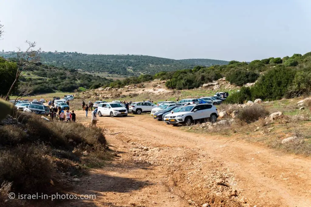
Most of the path has no shade. Thus, do not forget water and sunscreen.

After about ten minutes, we reached point #1 (marked on the map above), Arak Khan. There we saw the remains of a building from the Ottoman period.

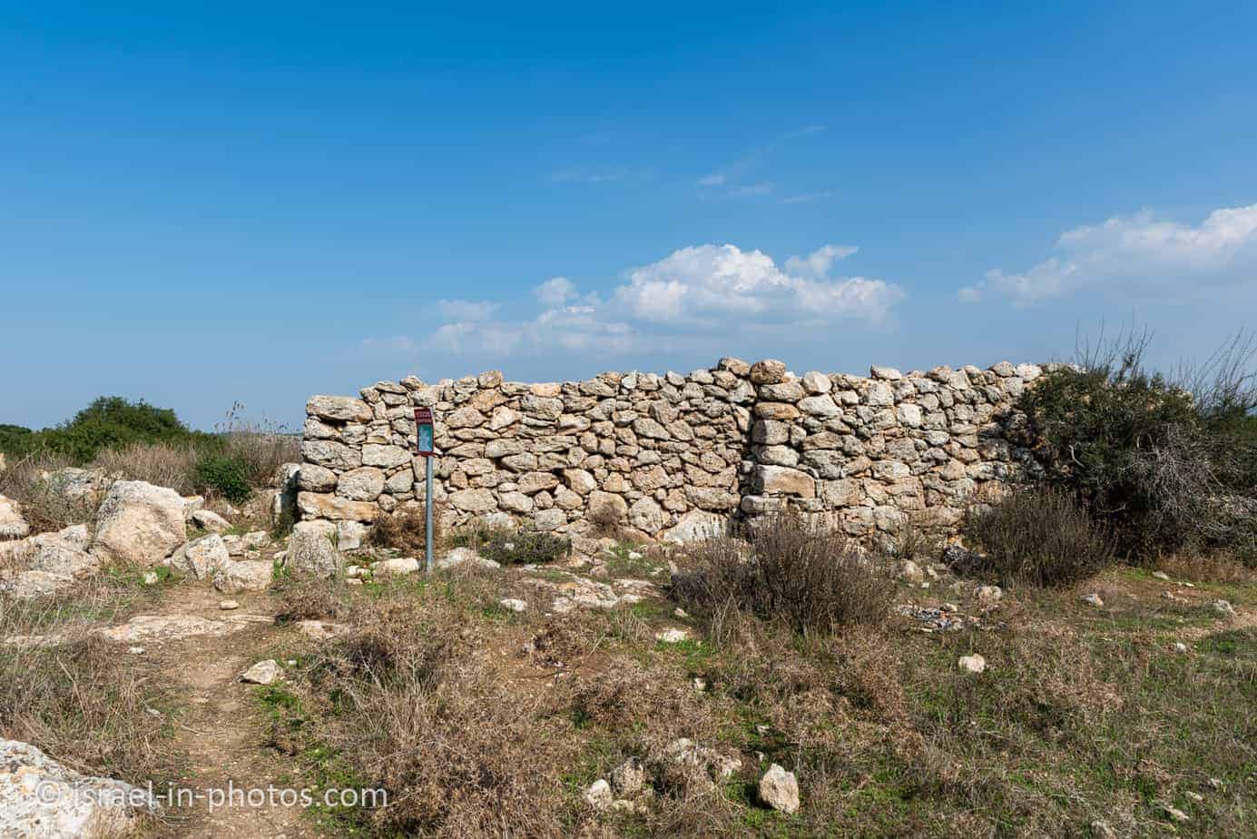
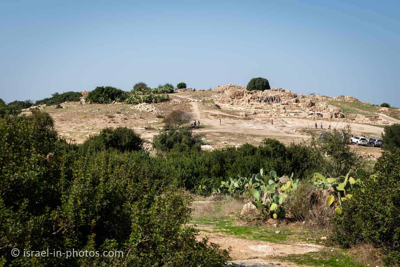
You will see other remains on your way, and then you will see Horvat Burgin in the distance.

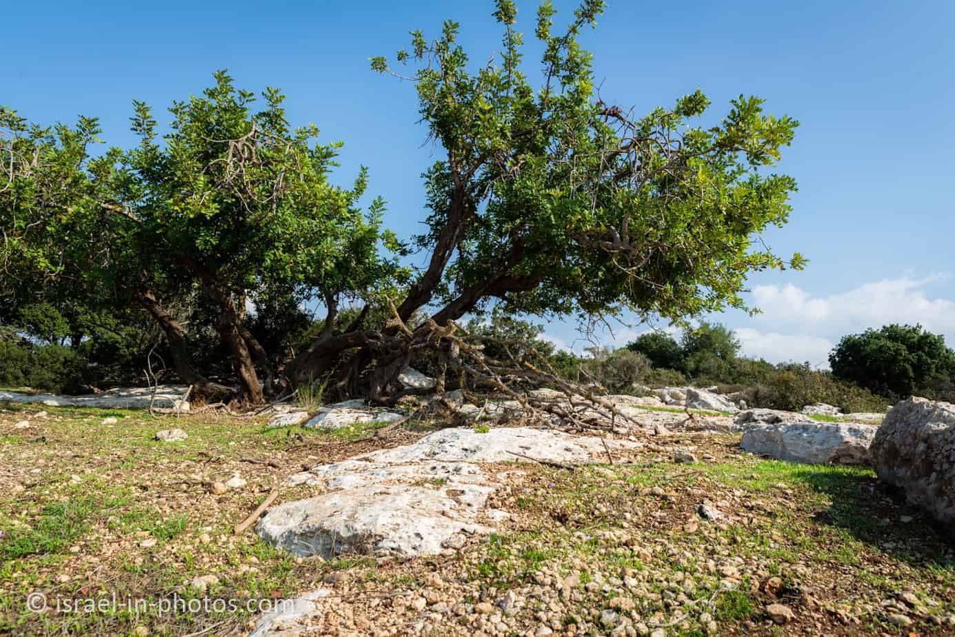
Also, you will pass through the eastern necropolis and see several caves. The cave on the column (marked as #2 on the map above), a Christian burial cave from the Byzantine period, is probably the most famous.

Cave #3 is a burial cave from the Second Temple period.


Byzantine Church
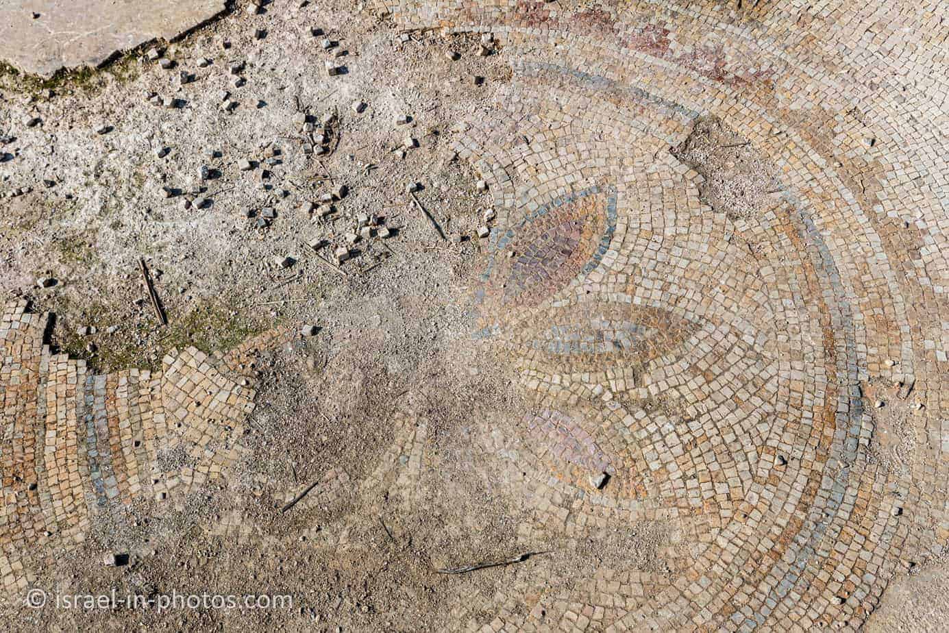
We took the red trail to the center of the complex. We saw the remains of a Byzantine church (marked as #8 on the map above). Moreover, in the church, you can see the remains of a mosaic floor.


Hideout dens
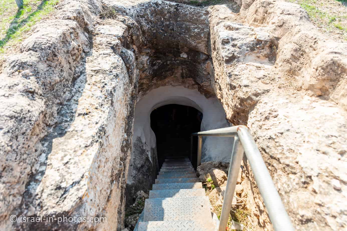
And near the church, you can find the main entrance to hiding caves (marked as #9 on the map above). Here is a map of the hiding caves with the entrances and exits.

Children love exploring the hiding caves, but as I mentioned above, do not forget to bring flashlights.