Gamla Nature Reserve – Full Visitors Guide with Photos
Gamla Nature Reserve offers various tracks to ancient Gamla (synagogue), the highest waterfall in Israel, the vulture lookout, and more.
Table of Contents
Map
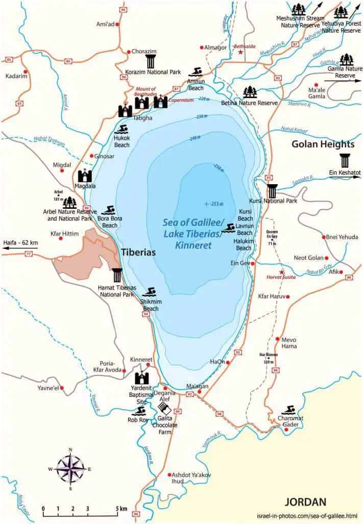
Gamla Nature Reserve is located in Golan Heights, not far from the Sea of Galilee. You can see an arrow pointing to Gamla in the top right corner of the following map.
Directions for drivers: Link to Waze and Link to Google Maps
Directions for public transport: Link to Moovit
Interactive map of the area:
Tracks
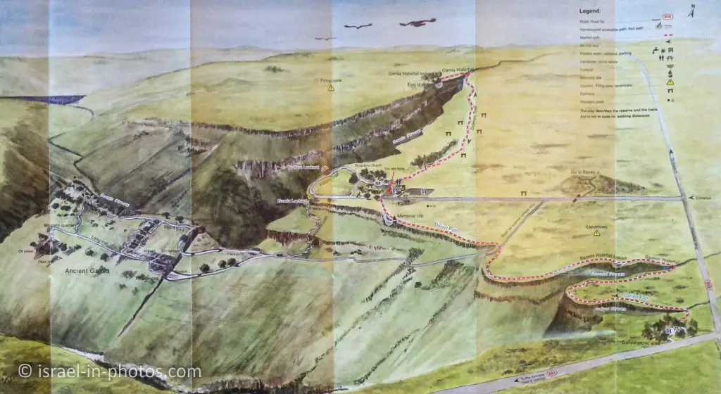
And now, let’s go over the Gamla Nature Reserve track map.
Note: you can click on the map to enlarge it.
As you can see, there are four trails. And here is an interactive map from israelhiking.osm.org.il where the trails are marked:
| # | Name | Description | Distance (km) | Total climb and descent (meters) | Notes |
|---|---|---|---|---|---|
| 1 | The Vulture Track | It is a short (600 m) loop trail. If you take it, you will see the Gamla lookout, vulture observatory, and Deir Qeruh. But if you take the longer trails, you will also see those points of interest. | 0.6 | Wheelchair accessible | |
| 2 | The Ancient Trail (black marking) | It will take you to the ruins of the ancient Gamla. | 3.2 | 542 | This trail is not long, but it is steep. It takes about two hours. |
| 3 | The Dolmen Track (red marking) | This path leads you to Gamla falls. And on your way, you will pass near Dolmens. | 3.7 | 114 | This walk takes approximately 1.5 hours, and it is not a difficult one as you are walking on the same plane. |
| 4 | The Daliyot Falls Path (red marking) | This path leads you to Bazelet Waterfall and Daliyot Stream. | 7.3 (3.65 each way) | 332 | It takes about four hours to complete. |
During one of our visits, we spent about a half-day and completed the first three trails.
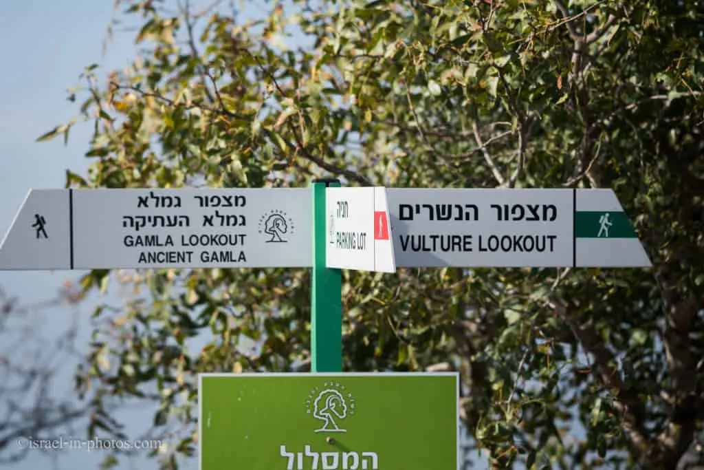
As you can see, the routes are well-marked, and there is no need for a map. The map you will receive at the entrance will be enough (no need for a trail map of this area).
Directions
If you are driving there, enter “Gamla Nature Reserve” into Waze or Google maps app.
Reaching by public transport is problematic, as the closest bus stop is 2.2 km from the starting point. Here is already a preset link to Moovit. Enter the starting point, and you will get the updated directions.
Opening Hours
Sunday – Thursday and Saturday: 8:00 – 17:00 (16:00 in winter).
Friday: 8:00 – 16:00 (15:00 in winter).
On holiday eves, usually 8:00 – 13:00.
Note: Since the pandemic, the Israel Nature and Parks Authority has started limiting the number of people in each park. Thus, reservations are recommended through the official site (you can find the link below).
Entrance Fee
Adult – 28 NIS, child – 14 NIS, and student – 24 NIS. Free for National Parks annual subscribers.
If you visit several National Parks, consider purchasing a combo ticket. For additional information, see National Parks and Nature Reserves.
Note: opening hours and ticket prices were updated in November 2022. In any case, recheck the official site before visiting.
When to Visit Gamla?
There is no shade on all the trails in Gamla. Thus, regardless of when you visit, take hats, sunscreen, and plenty of water. Moreover, I would advise you not to visit Gamla during the summer as it can be boiling. All the other seasons are okay if you do not come after the rain. The rocks will be slippery, and the paths will become muddy and dangerous.
Vulture Lookout
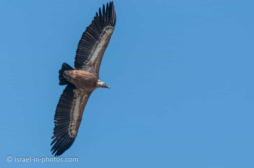
Gamla Nature Reserve is home to Israel’s largest nesting colony of raptors. Over 40 pairs of Griffon vultures nest in Gamla stream cliffs.
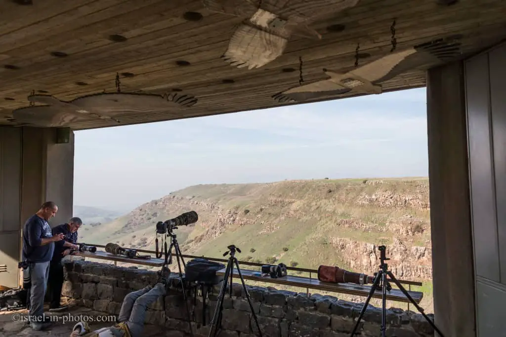
As you can see, there are photographers on guard ;)
Unfortunately, I did not get a chance to photograph them during this visit. We saw several vultures while visiting ancient Gamla, but it was too far away. So I will show you a photo from another visit.
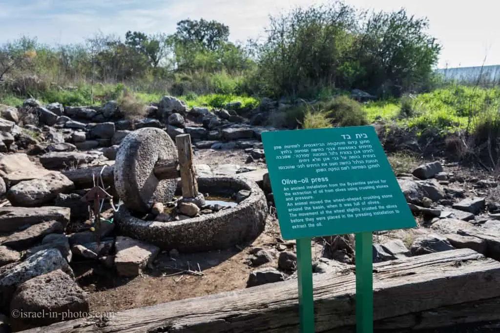
Olive press dating the Byzantine period next to the lookout:
Gamla Lookout
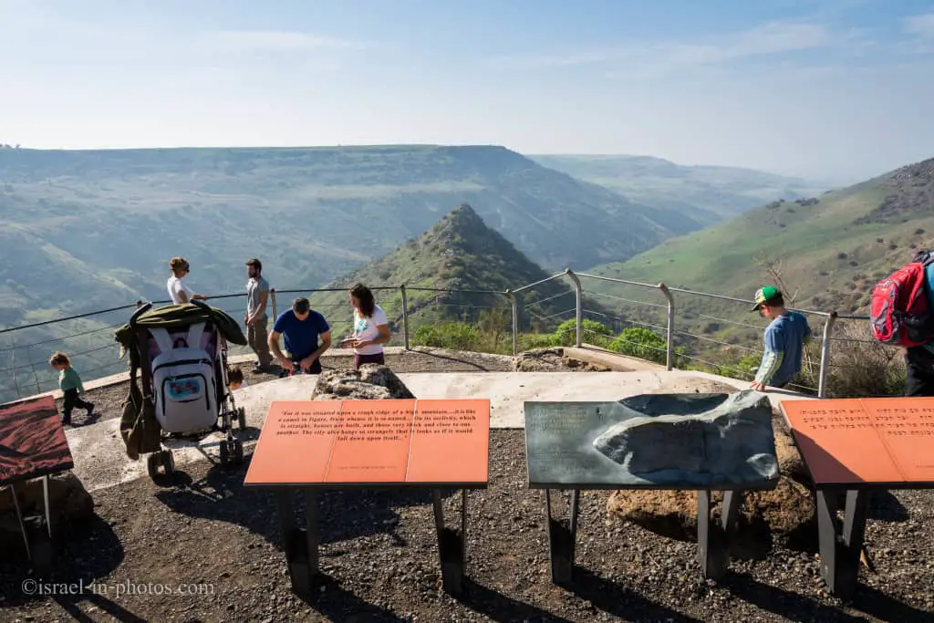
You can see a catapult model pointing at the ancient Gamla. Romans who besieged the town used similar catapults.

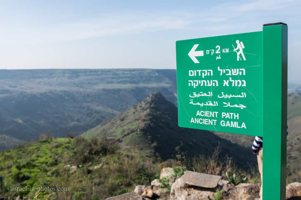
Ancient Gamla Trail
To reach the ancient Gamla, take the black trail from the lookout.
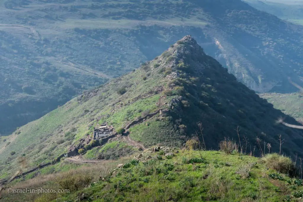
What does Gamla mean?
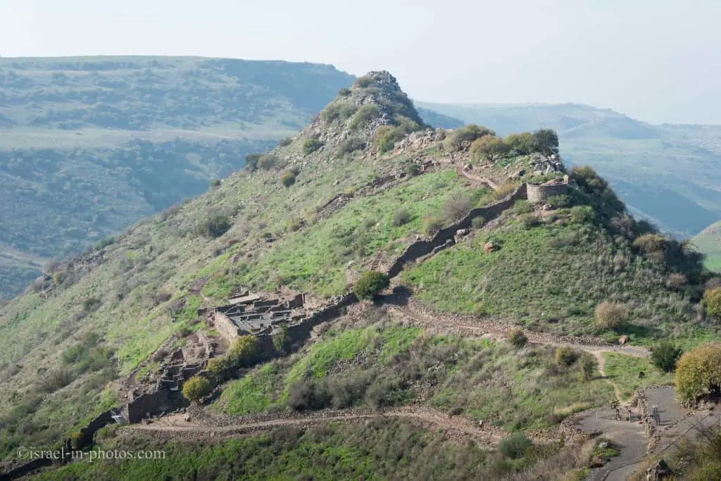
The hill of Gamla resembles a camel’s hump (camel riding anybody?), hence the name (“Gamal” means camel in Hebrew).
A closer view of the Synagogue and Rounded tower:
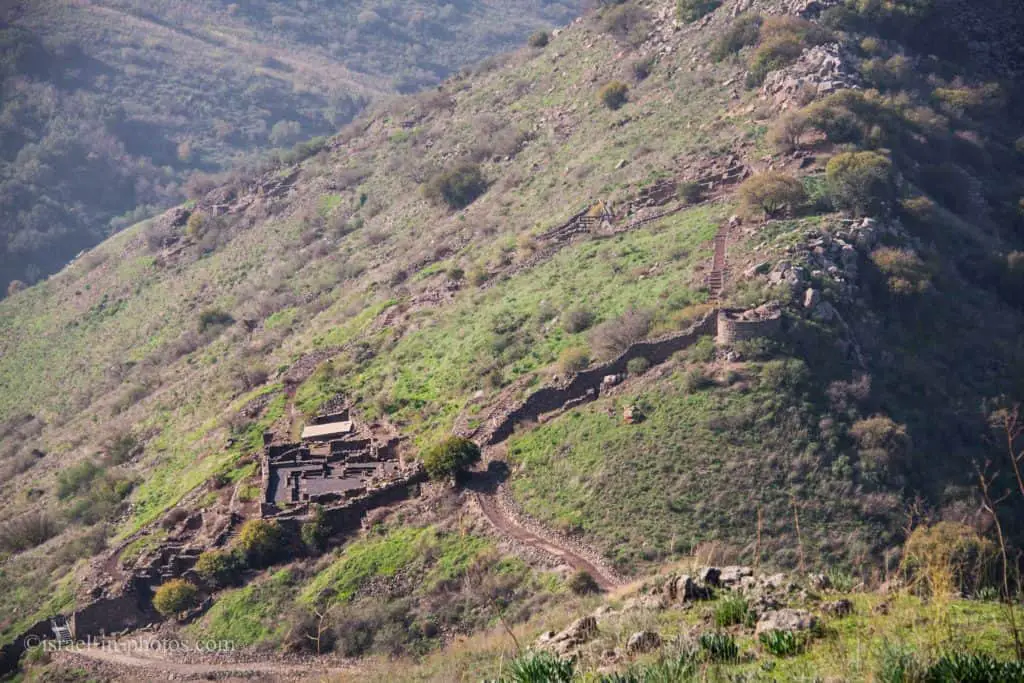
Starting the decline:
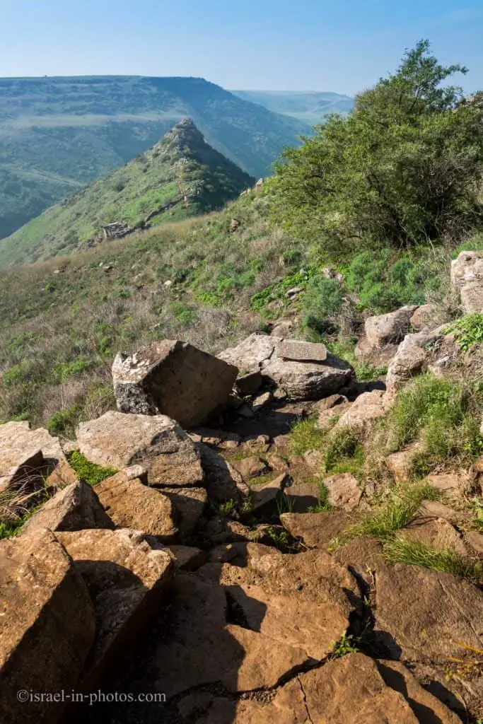
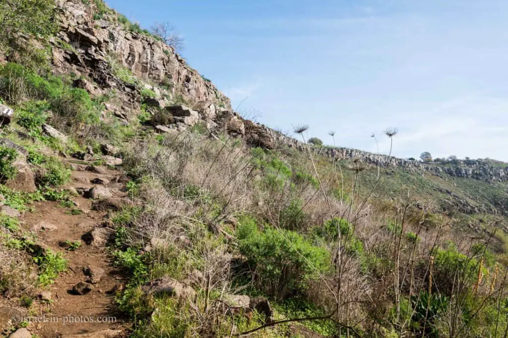
The path is not very hard, but it involves climbing and descending over stones. Most people, including children, will have no problem completing it. But if you have knee problems or other health limitations, you should reconsider it.
Halfway:
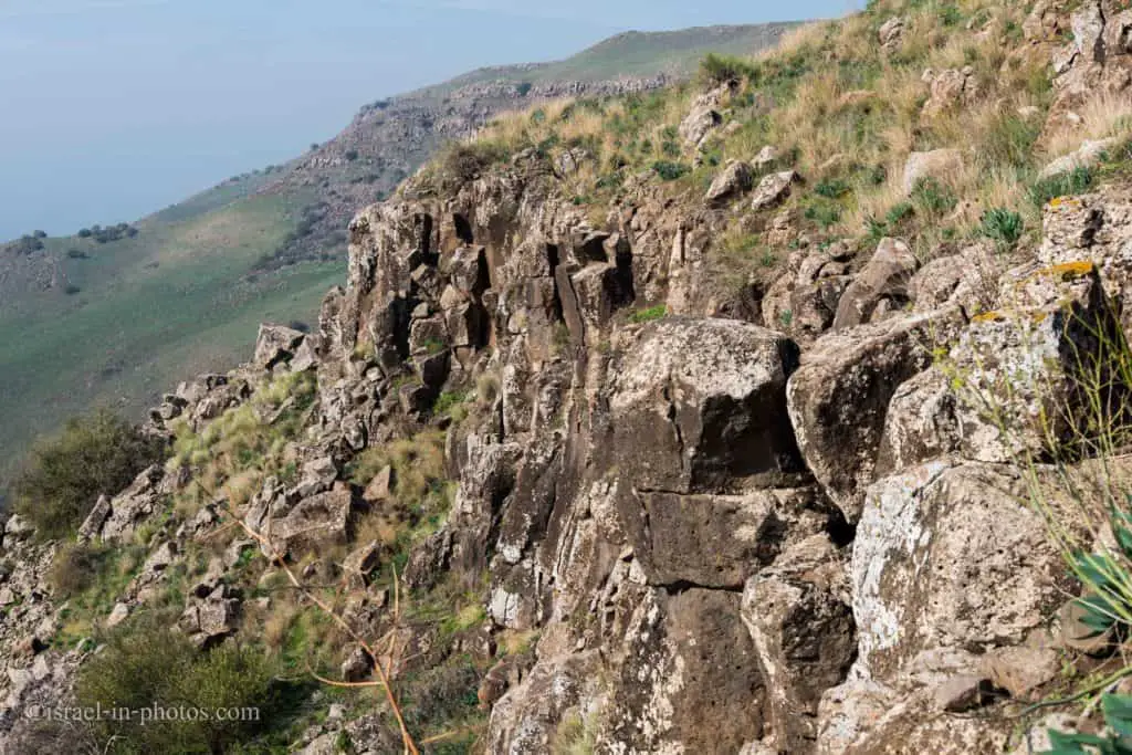
This rock formation reminds Hexagon (Meshushim) pool route, which is, by the way, not far away. Search for “Nahal Meshushim Nature Reserve” if you are interested in visiting it.
Ancient Gamla
Gamla is described in Talmud as a walled city dating from the time of Joshua (Bronze age). It is assumed the Talmud depicts it this way because a fortified settlement, later destroyed, existed here during the early Bronze Age. The ruined city was resettled during the Hellenistic period (mid-second century BCE).
According to Josephus, the city was built on a slope of a very steep hill surrounded by cliffs. It could only be reached from one side and only by one trail, the same as today.
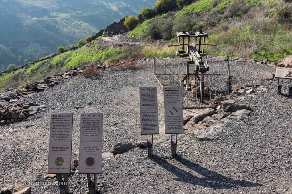
Such a location was excellent from the defense perspective. It was good until the ancient Greeks invented catapults. And here, you can see a catapult model used by Romans pointing toward the city entrance.
The Great Revolt
Gamla joined the revolt against the Romans in 66 CE. Just before the uprising, the inhabitants, led by Josephus Flavius, commander of the Galilee rebellion, fortified city walls. At the head of three Roman legions and reinforcements, Vespasian besieged the city. Here is the full story from Wikipedia:
Josephus gives a detailed topographical description of the city, which he referred to as Gamala, and the steep ravines precluded the need to build a wall around it. Only along the northern saddle, at the town’s eastern extremity, was a 350 meters-long wall built. It was constructed by blocking gaps between existing houses and destroying houses that lay in their way.
Initially loyal to the Romans, Gamla turned rebellious under the influence of refugees from other locations. One of only five cities in Galilee and Golan stood against Vespasian’s legions, reflecting the cooperation between the local population and the rebels. At the time of the revolt, the town minted its coins, probably more as a means of propaganda than as a currency. Bearing the inscription “For the redemption of Jerusalem the H(oly)” in a mixture of paleo-Hebrew (biblical) and Aramaic, only 6 of these coins have ever been found.
Seven-month siege
The city sustained the first seven-month siege, organized in 66 CE by Herod Agrippa II. On October 12, 67 CE, a total of about 60 thousand soldiers under the command of Vespasian began a second siege. The inhabitants of the city, including armed rebels, were, according to Josephus, only 9,000 people. Kenneth Atkinson calls this number exaggerated. Nevertheless, Dani Zion writes that before the siege, Gamla became a refuge city, where insurgents from all over the Galilee and residents of the surrounding villages flocked. There were not enough places in the town, and even the city synagogue was adapted to accommodate refugees.
The seizure of the city was of fundamental importance to Vespasian. According to the existing strategy, it was necessary to seize and suppress all the centers of resistance along the route, however small. Also, the Jews expected, albeit unreasonably, the possible assistance of fellow believers from Babylon and the military intervention of Parthia. Although Josephus, who led the consolidation of the defense of Gamla, describes it as a fortress, archaeological findings show that the walls were constructed in fragments, filling in the gaps between buildings to create a continuous line of fortifications.
Breaching The Walls
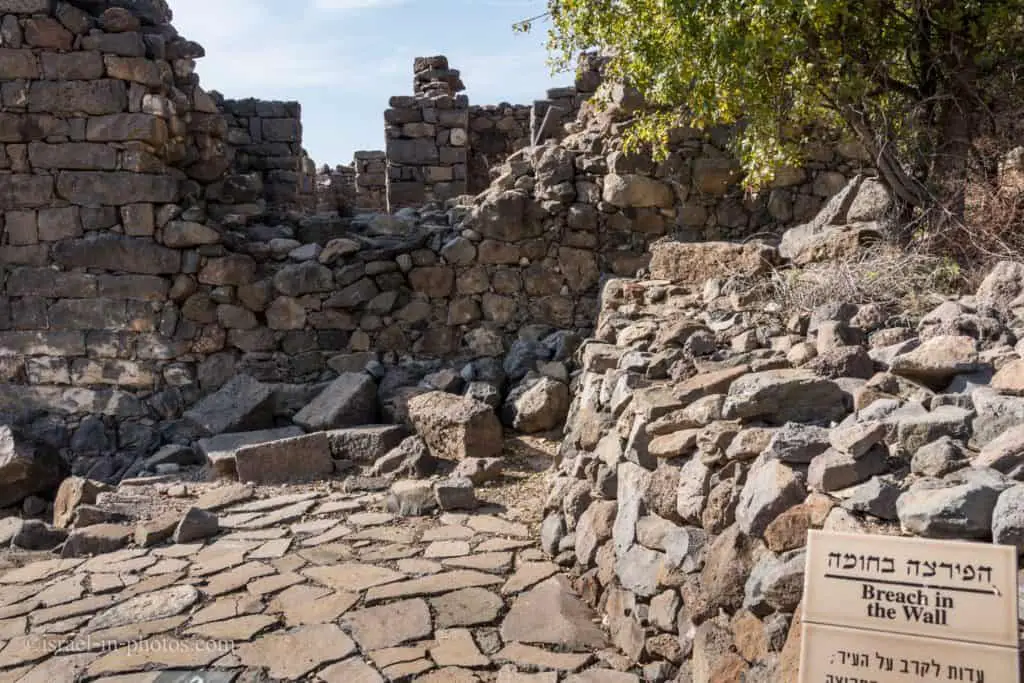
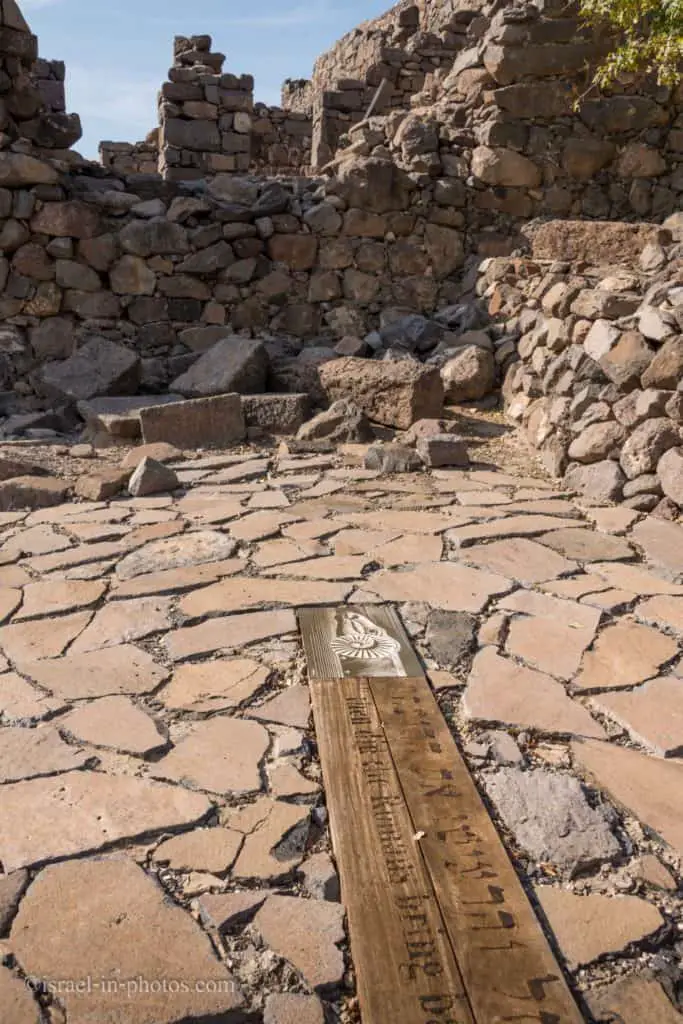
Josephus also provides a detailed description of the Roman siege and conquest of Gamla in 67 CE by components of legions X Fretensis, XV Apollinaris, and V Macedonica. The Romans first attempted to take the city using a siege ramp but were repulsed by the defenders. Only on the second attempt did the Romans succeed in breaching the walls at three different locations and invading the city. They then engaged the Jewish defenders in hand-to-hand combat on the steep hill. Fighting in the narrow streets from an inferior position, the Roman soldiers attempted to defend themselves from the roofs. These collapsed under the heavyweight, killing many soldiers and forcing a Roman retreat. The legionnaires re-entered the town a few days later, eventually beating Jewish resistance and completing the capture of Gamla.
Northern Masada
Gamla is often compared with the more famous heroic story of the fortress of Masada, where the defenders, not wanting to surrender to the Romans, committed suicide. Sometimes Gamla is even called the “Northern Masada” or “Masada Golan.”
However, Dani Zion emphasizes that Masada was a fortress, originally built as a fortification facility, where several hundred families of rebels were hiding and where there was no battle. Gamla, on the other hand, was a city where fortification was carried out in connection with military operations and where heavy fighting occurred before the capture and destruction. According to Josephus, some 4,000 inhabitants were slaughtered, while 5,000, trying to escape down the steep northern slope, were either trampled to death, fell, or perhaps threw themselves down a ravine. These appear to be exaggerated, and the number of inhabitants on the eve of the revolt has been estimated at 3,000 – 4,000.
Source: Wikipedia
Note: you can find additional information about Masada at the Masada National Park.
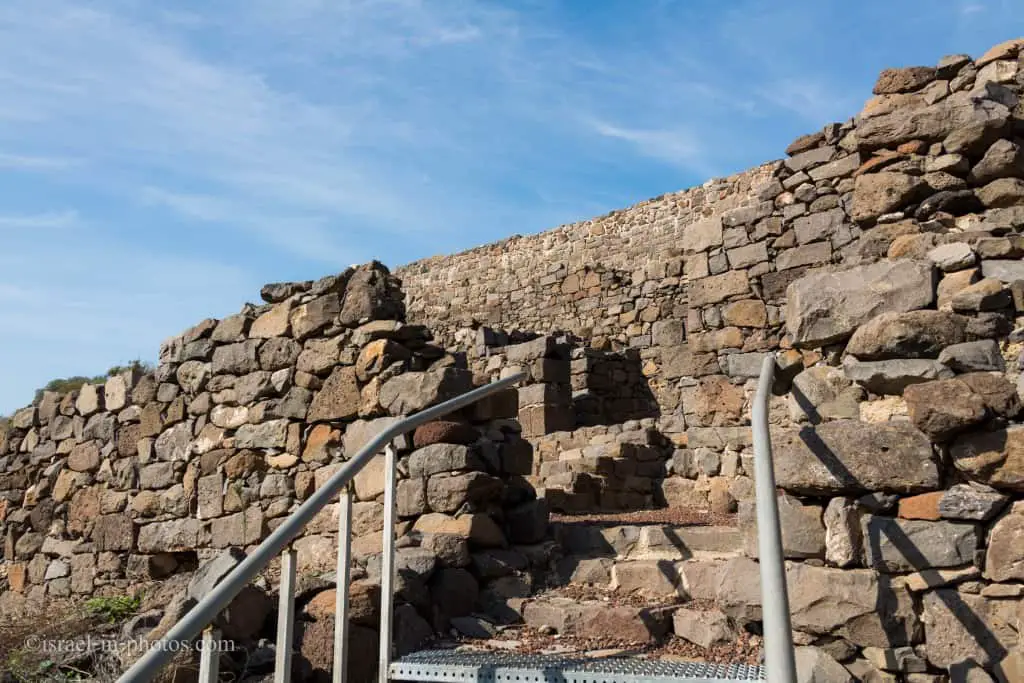
On the left of the breach, there is the entrance to the city. When you enter, you will see the remains of a neighborhood:
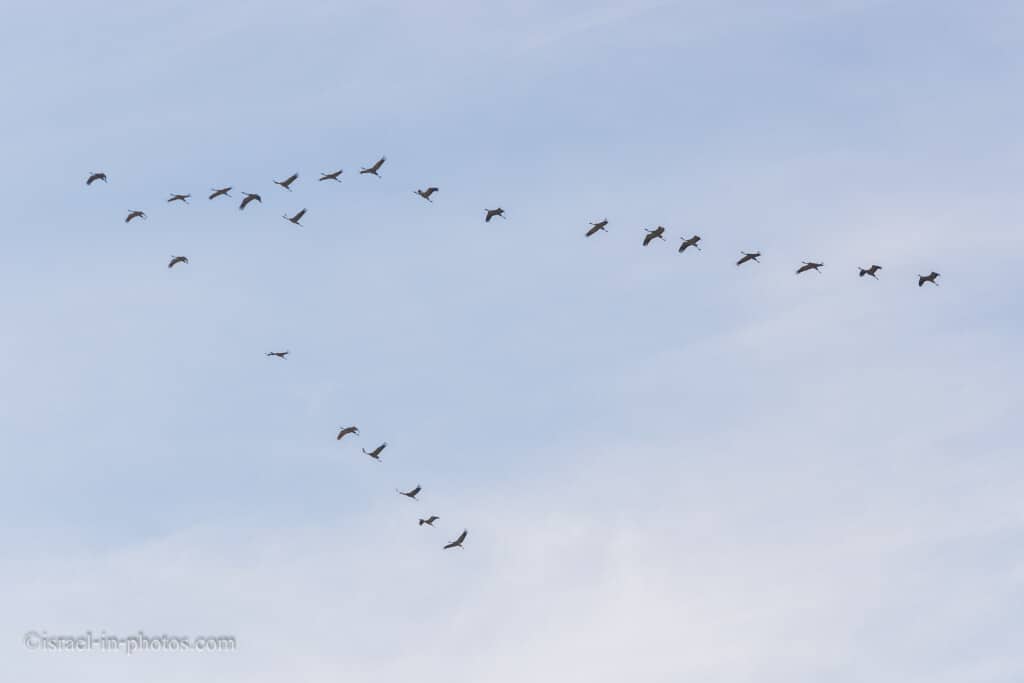
While we were there, we saw a pack of cranes. Winter is their migration time. If you want to read more about cranes, check out Agamon Hula.

This is the breach in the wall from the inner side:
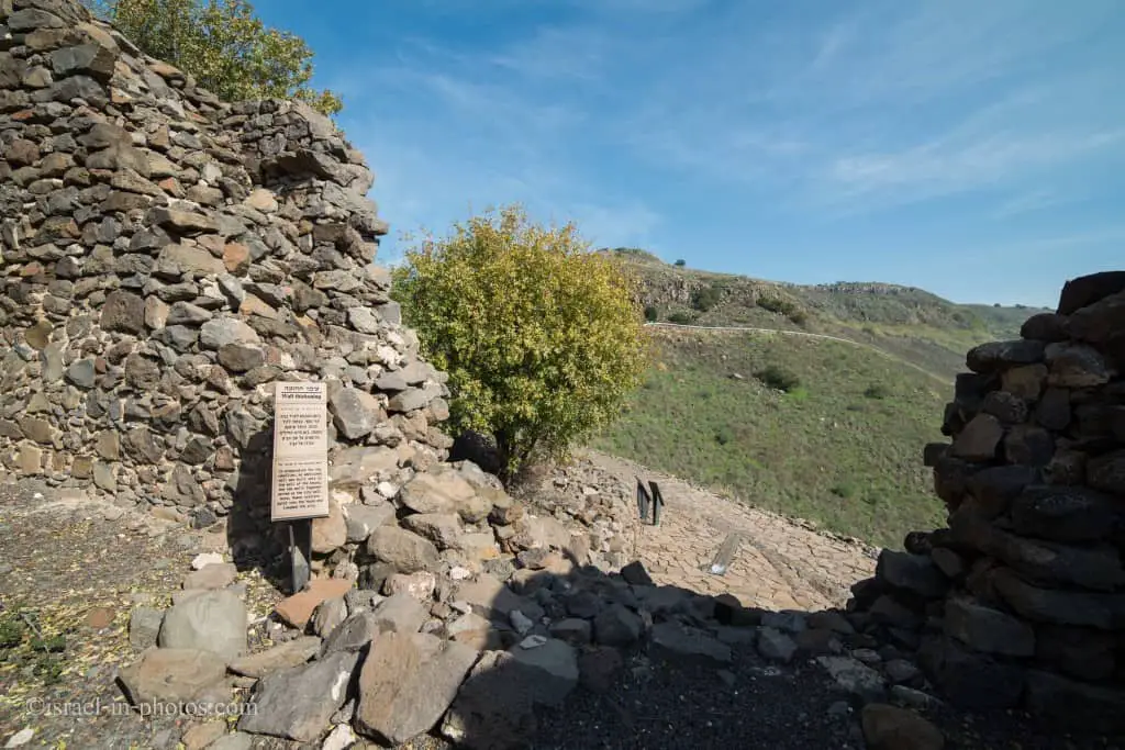
If you look closely, you will see two walls. This wall has undergone thickening.
Inside the dwelling, you can see perpendicular stones which indicate the second floor:

Since the floor was made from wood, it has not survived.
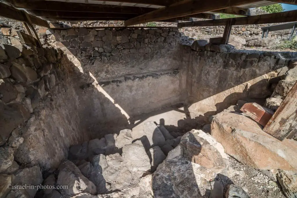
We continued the route, and after a couple of minutes, we reached the Mikveh:
Gamla Synagogue
And next to the Mikveh, there is an ancient synagogue.
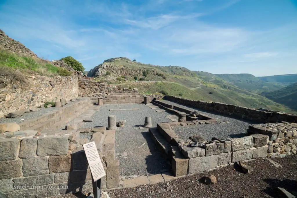
The synagogue was built on the city’s edge during the early first century CE. And it is one of the oldest temples ever discovered in Israel.
Many catapult arrowheads were found inside the synagogue, testifying that the battle had also occurred there.
The trails toward the synagogue:
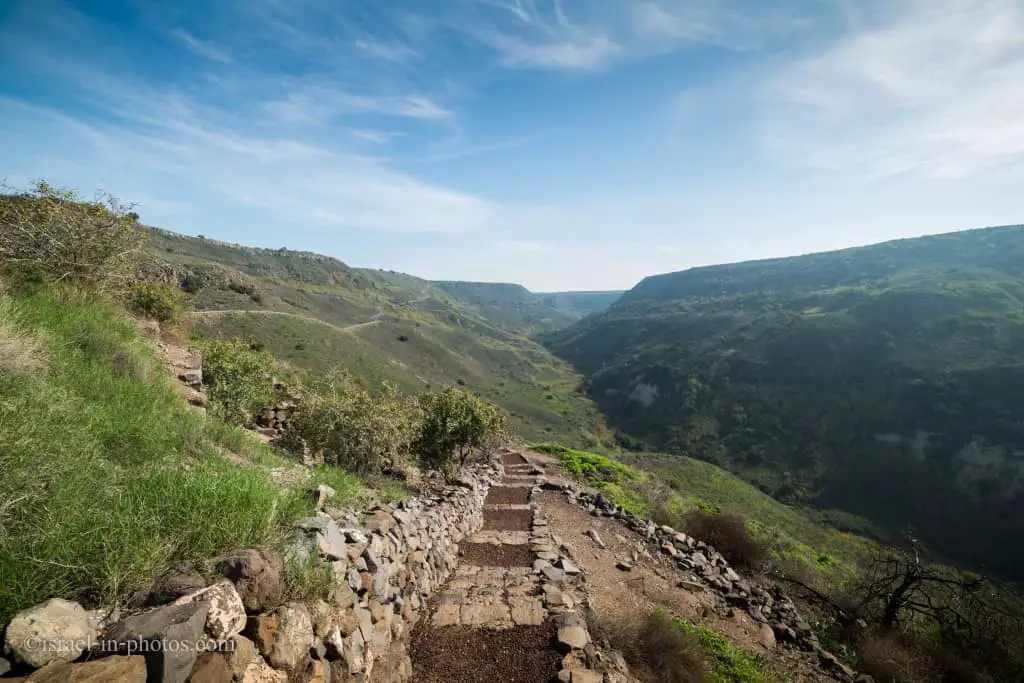
At the top:


The round tower and view of the lookout:
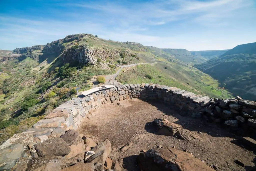
The round tower was built before the city walls. It was built without foundations and collapsed during the Roman attack.
And now we are heading back towards the beginning of this route. And here is another glance at the synagogue.
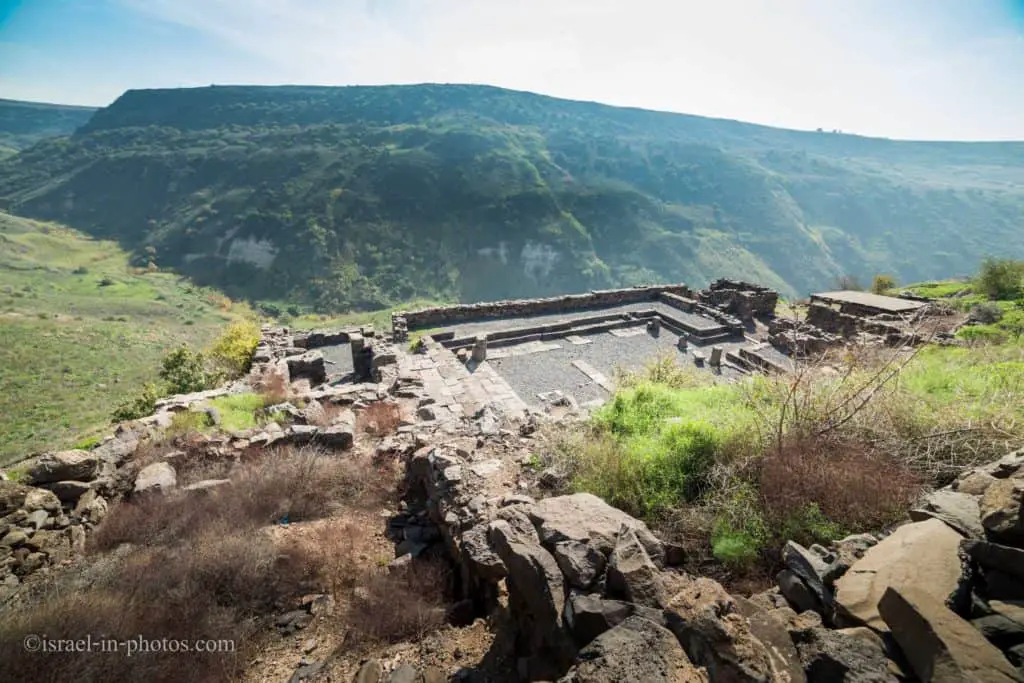
After the Romans destroyed Gamla in 67 CE, it was never rebuilt. It was forgotten for 1,900 years till 1968. That year, Gamla was rediscovered by Yitzhaki Gal from Nature Reserves Authority.
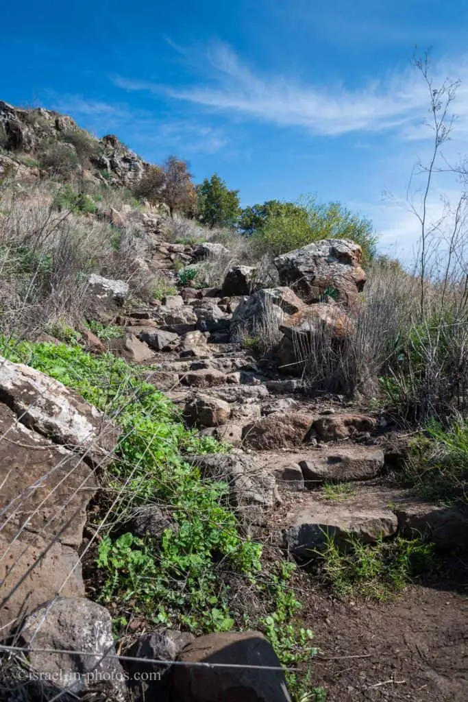
The trail back to the lookout:
And here we returned to the lookout:
The Dolmen Trail
Since it was still early, we also decided to take The Dolmen trail.

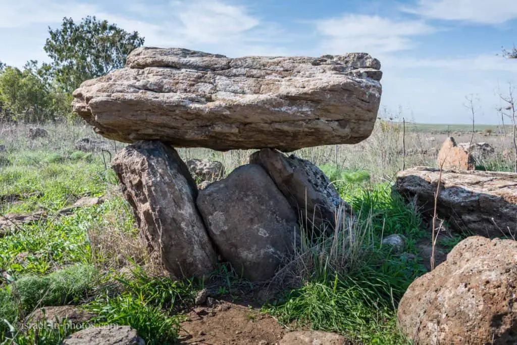
Dolmens are 4,000 years old structures consisting of stone slabs laid over two upright tiles. About 700 dolmens were found around Gamla. Dolmens were burial edifices from Nomadic tribes that roamed Golan Heights during Bronze Age.

Dolmen in ancient Breton means stone table.
From there, we continued along the trail toward Gamla waterfall.
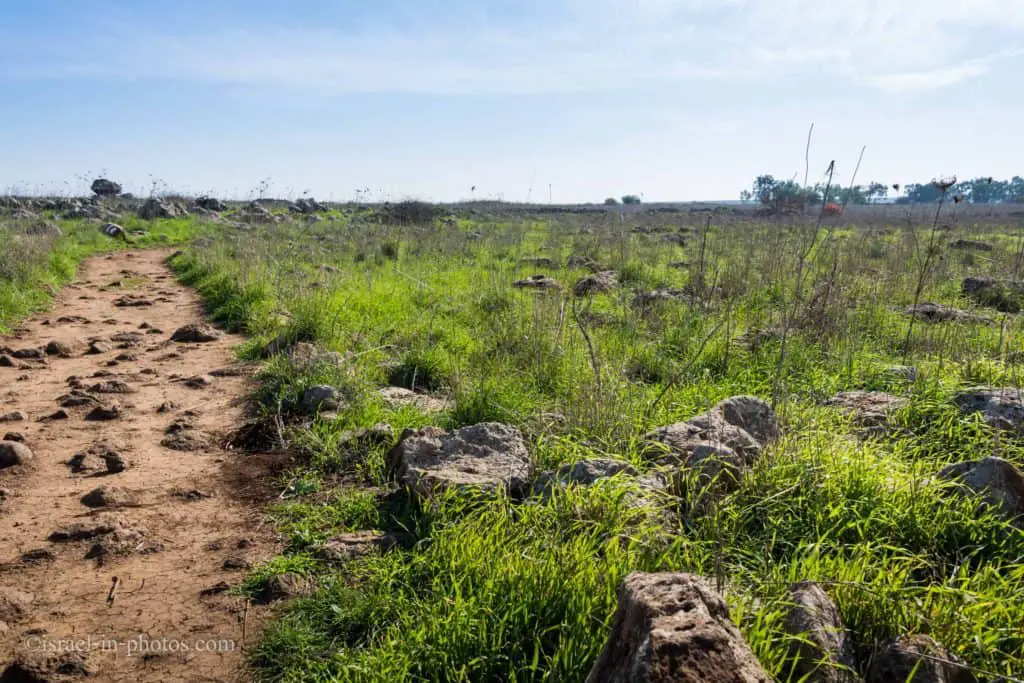
The trail is easy to follow, but it requires attention as there are many stones and bumps.
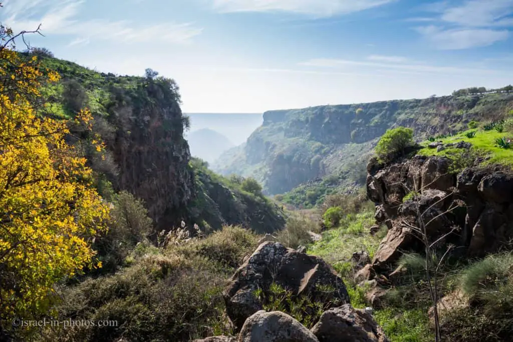
You will pass the bridge at the top of the waterfall. But since there is a lot of greenery from the bridge, we did not see the waterfall. To see it, you need to continue the trail toward the watchpoint. But, before proceeding, just after the bridge, stop and look west. There you will see ancient Gamla in the distance (photo above).
Gamla Waterfall
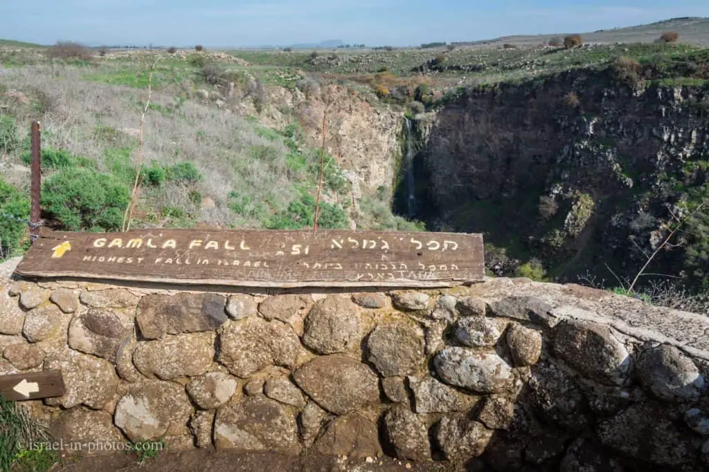
We have reached the waterfall viewpoint, and I did not know this before, but it is the highest waterfall in Israel, 51 m.
Here is a photo of the waterfall with people at the top and the wooden bridge.

If you visit during the summer, there is a high chance of no water.
View of Gamla cliffs, the place where most raptors nest. Thus, going beyond this point is forbidden.
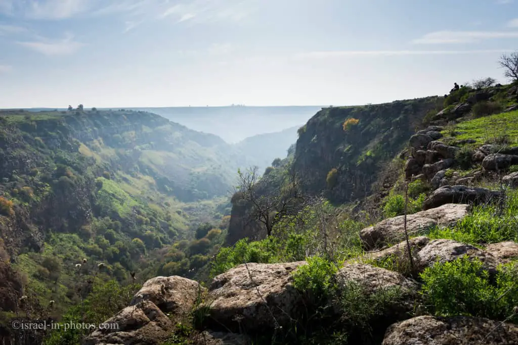
And from this point, we returned to the parking.
Nearby Attractions
Here are several nearby attractions that might interest you:
- Banias Nature Reserve
- Tel Hazor National Park
- Nimrod Fortress National Park
- Agamon Hula
- Betiha Nature Reserve
For additional attractions in the area, check out the Sea of Galilee.
Summary
Gamla Nature Reserve is a popular site. If you love wildlife, then the Vulture trail is for you. The ancient Gamla trail suites archeology and history fans. And Dolmen and Daliyot hikes are for nature enthusiasts. As you can see, many people will find what they love in Gamla, so we did. We enjoyed our visit and will return for the Daliyot falls trail in the future.
Have you ever been to Gamla Nature Reserve? Tell us about your experience in the comments below.
That’s all for today, and I’ll see you in future travels!
Stay Tuned!
Additional Resources
Here are several resources that I created to help travelers:- Trip Planner with Attractions and Itineraries is the page that will help you create your perfect travel route.
- What is the Best Time to visit Israel? To answer this question, we will consider the weather, prices, holidays, festivals, and more.
- Information and Tips for Tourists to Israel will answer the most common questions tourists have about Israel (including safety, passports, weather, currency, tipping, electricity, and much more).
- Israel National Parks and Nature Reserves include a complete list, top ten, map, tickets (Israel Pass, Matmon, combo), and campsites.
- If you are looking for things to do, here are the pages for Jerusalem, Tel Aviv, Haifa, Sea Of Galilee, Akko (Acre), Eilat, Nazareth, Safed (Tzfat), and Makhtesh Ramon.





Спасибо. Очень интересно!
Amazing pictures, Only those who can appreciate photography, You did worship, תודה!!!
תודה רבה.
Excellent post. I was checking constantly this blog and I am inspired! Extremely useful information particularly the last part 🙂 I maintain such information a lot. I used to be looking for this particular info for a very long time. Thanks and good luck.
What are your thoughts of going to gamla in the middle of March?
Hi Karen,
March is a good choice. The weather is usually good. And as I mentioned in “When To Visit Gamla?”, as long as there were no rains for the last couple of days, then you are good to go.