Ein Tina (Ein Notera) – Water Track on the slopes of Golan Heights
Ein Tina (Ein Notera) on the slopes of Golan Heights offers pools, a water hike using a loop trail, a waterfall, and a picnic area. Thus, it is the perfect place for the hot summer days.
Table of Contents
Map
Ein Tina (Ein Notera) nature reserve is located on the western slopes of the Golan Heights, not far from Hula Nature Reserve.
There is a small sign on road #918 pointing to the entrance. The entrance is between Gonen and Gadot. The easiest way to reach this spot is by entering “Ein Tina Parking” into Waze.
Directions for drivers: Link to Waze and Link to Google Maps
Directions for public transport: Link to Moovit
Interactive map of the area:
Trails
Ein Tina (Ein Notera) water hike offers a loop trail. Here is an interactive map from israelhiking.osm.org.il where this trail is marked:
There are two parking lots. One parking lot is near road #918 and accessible to all vehicles. The second parking lot is near Ein Tina. And sometimes (depending on the weather), it can be reached only using an AWD car.
| Name | Color of the Trail on the Map above | Description | Distance (km) | Total climb and descent (meters) | Notes |
|---|---|---|---|---|---|
| Short Ein Tina loop trail | Black | It starts at Ein Tina pool (the closer parking). Then the green trail leads to the waterfall, and you can return via the blue track. | 0.8 | 130 | If you prefer hiking only in the water, you can use the green trail in both directions. |
| Long loop trail | Orange and Black | Same as the previous trail, but it starts at the further away parking (near road #918). | 2.2 | 162 |
Note: the green trail that leads to the waterfall is quite steep and not recommended for smaller children. So if you have younger children (under six years old), you can start with the green trail, stop at any point, and return the same way.
My older daughter (who is ten years old) had no problem completing the hike. And my younger daughter (who is less than two years old) sat in the backpack baby carrier. Walking with the backpack baby carrier was not that convenient due to the low vegetation in some parts of the path, but it was doable.
Entrance Fee
Free.
Opening Hours
You can visit this nature reserve only during the daytime. Or as it is written in the following sign: “It is strictly prohibited to remain in reserve after dark.”

Picnic and Barbeque
The sign also answers several common questions. Lighting fire and setting up tents in Ein Tina are prohibited. However, there are picnic tables and dustbins.
Is there always water in Ein Tina?
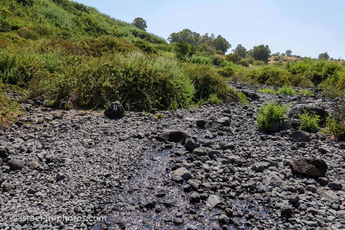
The water at Ein Tina comes from a spring. Farmers use part of that water, streaming the excess to the pipes. The waterfall at the top is an end of a tube. Sometimes, after dry winters, farmers may decide to close the pipe. Hence, I would advise having an alternative track or attraction for that scenario (use the interactive map above to find nearby attractions).
Note: we visited in August 2021, and there was plenty of water.
What should you take to the trail?
Significant parts of this trail have no shade. Thus bring plenty of water, sunscreen, and hats. Moreover, it would help if you had water shoes. The wet track has plenty of big rocks. Thus water shoes with sturdy soles would be the best alternative.
Restrooms
None.
The Green Trail
And now, let’s start the hike. We left the car at the further parking and started hiking using the green marking.

The road from the further away parking to the parking by the picnic area is probably accessible to most vehicles during the summer. And the following puddle was about 20 centimeters deep. But since it is not that far away, we decided to walk.
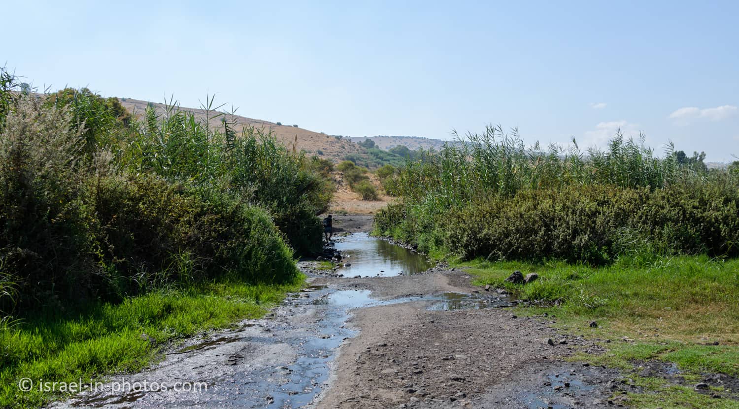
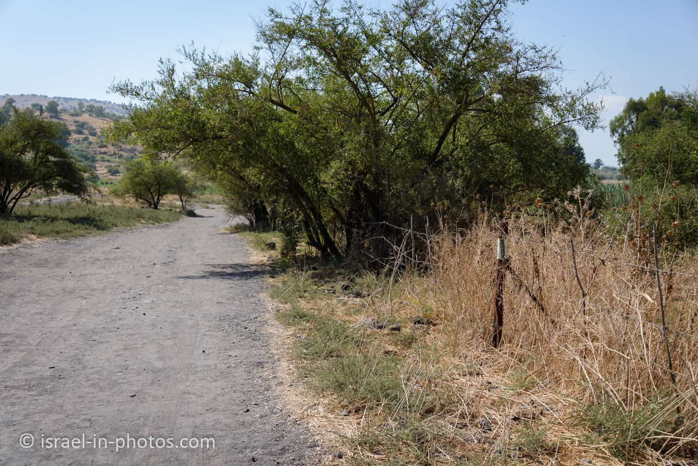
It took us about 12 minutes to walk from one parking to another.

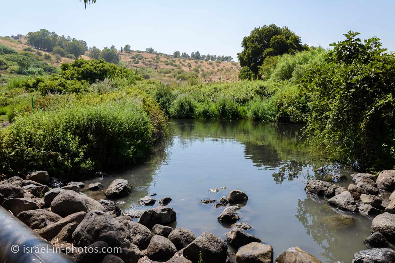
You can find a picnic area and a pond at the closer parking.


The pond is not deep. Thus to get completely wet, most people lie inside.
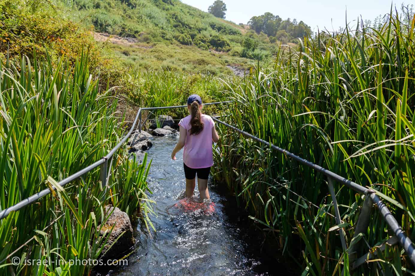
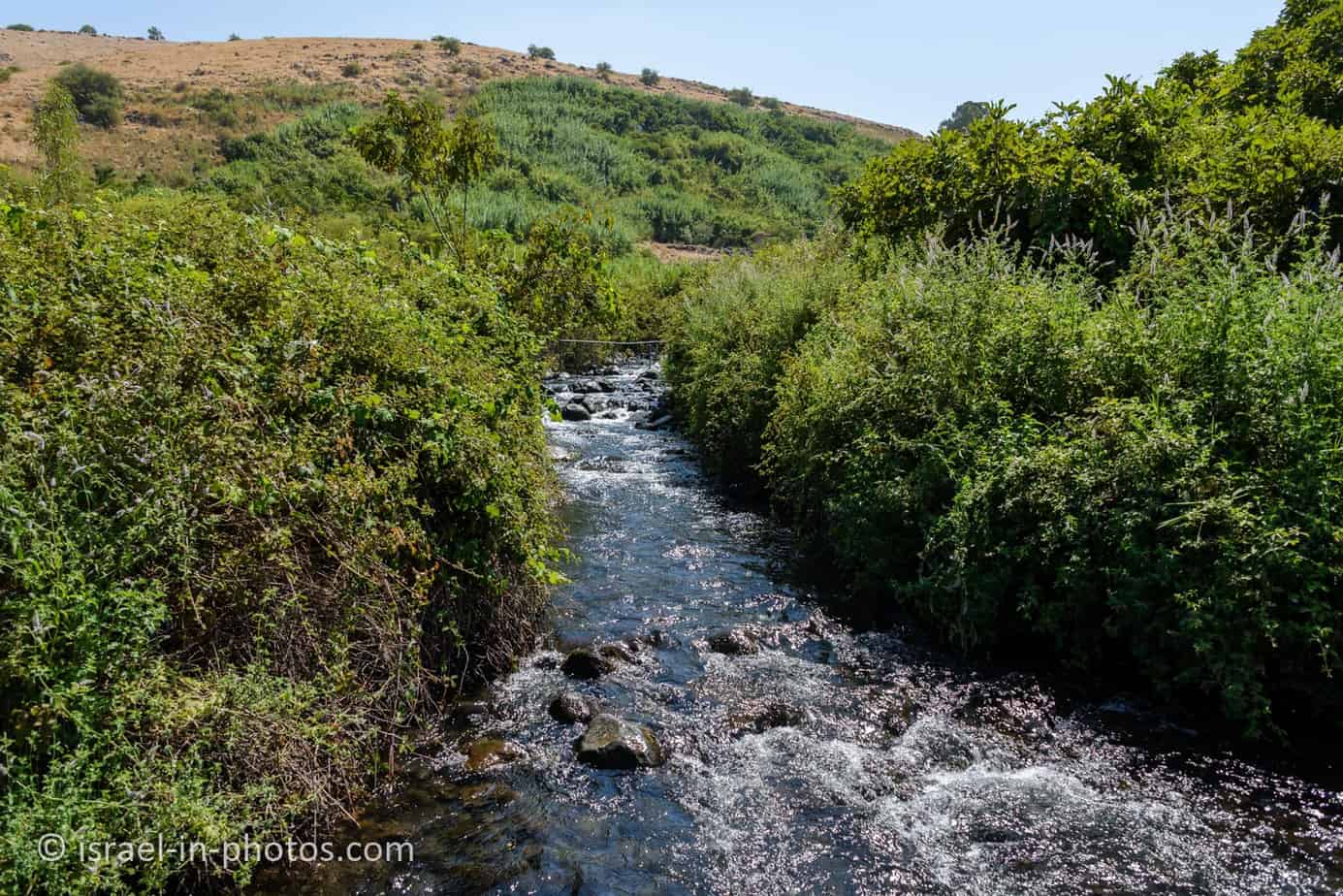
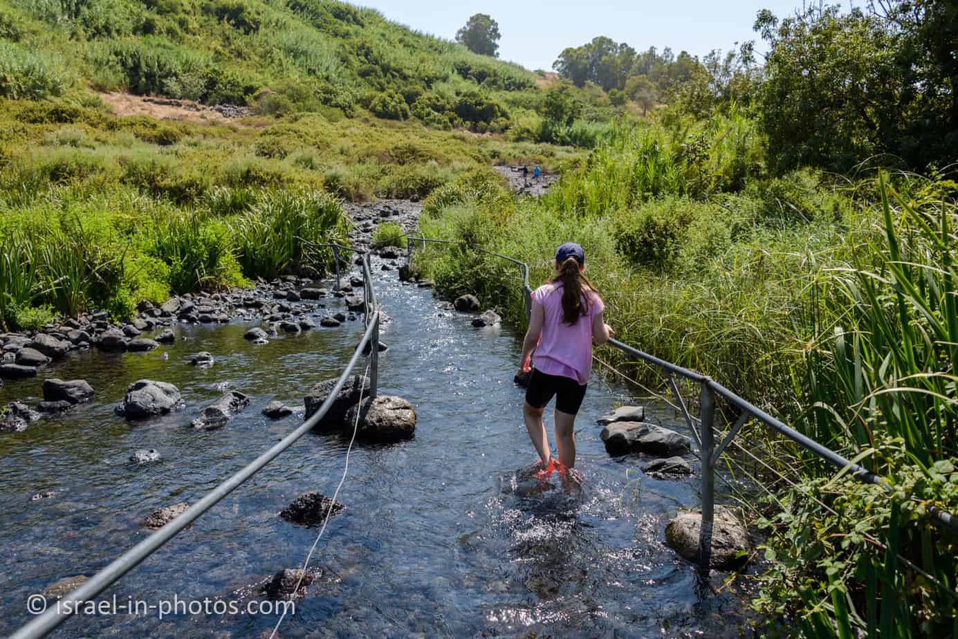
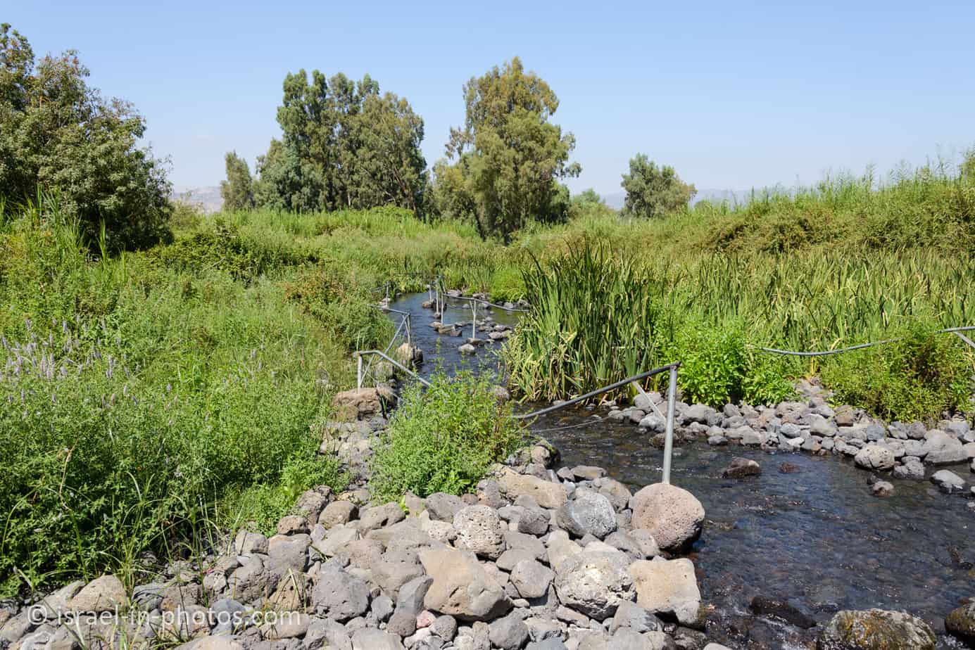
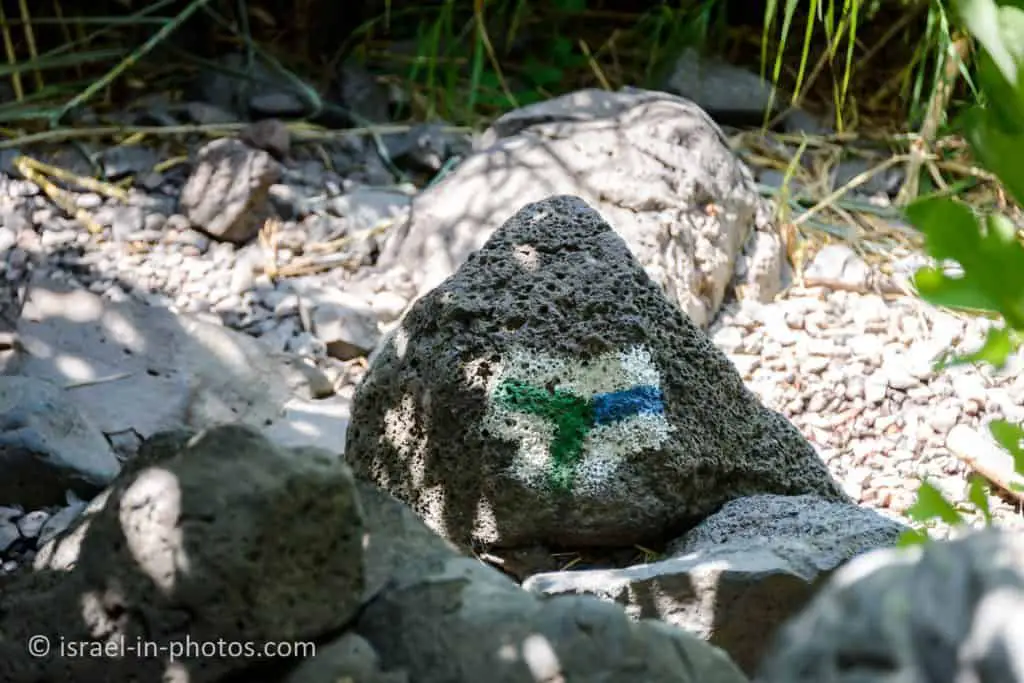
After a break at the pond, we headed to the wet trail. We used the green track to climb to the waterfall. And we returned using the blue trail.

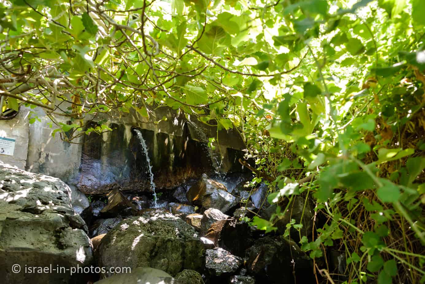
The wet trail starts with a pool and then hiking uphill.

A big part of the wet trail has railings, making hiking much more convenient.
Here are several additional photos from the wet trail:
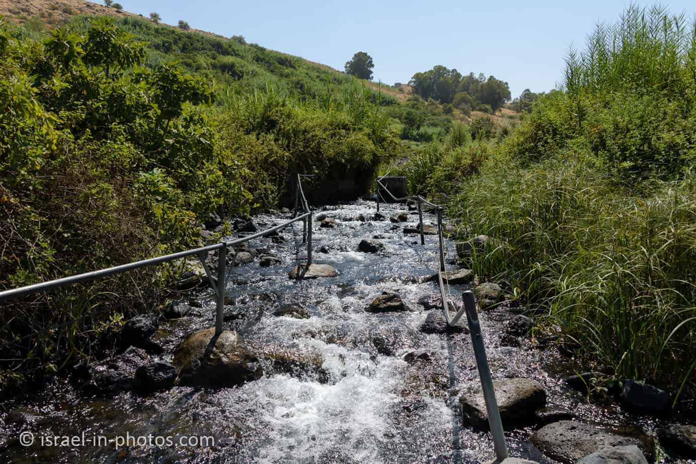

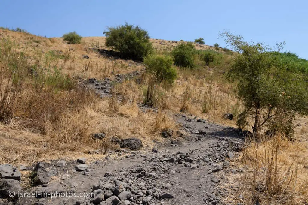
After about fifteen minutes, that section of the wet trail ended, and the path became steeper.
And here we begin our climb:


The climb took about twenty minutes, and approximately 35 minutes to reach the waterfall (from the closer parking).
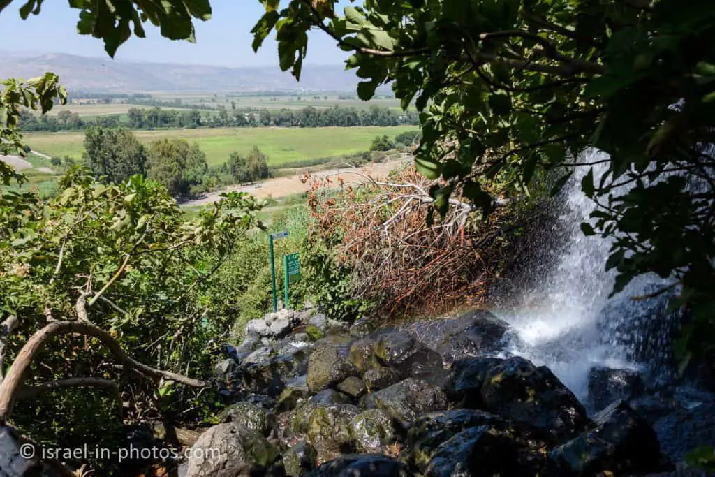
Ein Tina Waterfall
You can find the waterfall near the meeting point of the green and blue trails.
There is a big pipe that causes the waterfall, and there are also several smaller pipes.

The smaller pipes:

As you can see in the following image, the blue trail (the dry trail) goes through the waterfall. So let’s skip there.
The Blue Trail
This trail does not go through the water except for a short section near the waterfall. Here is how it looks when standing in the water:


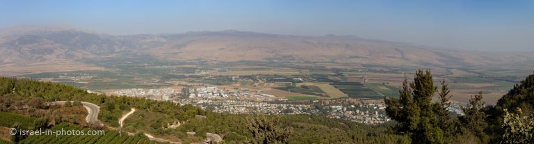
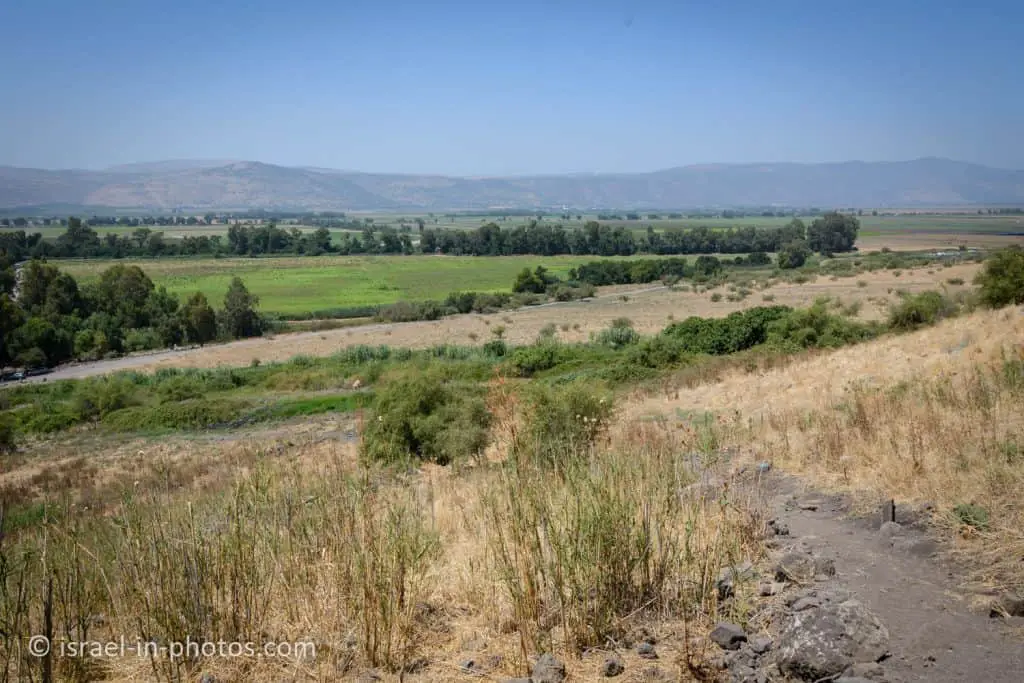
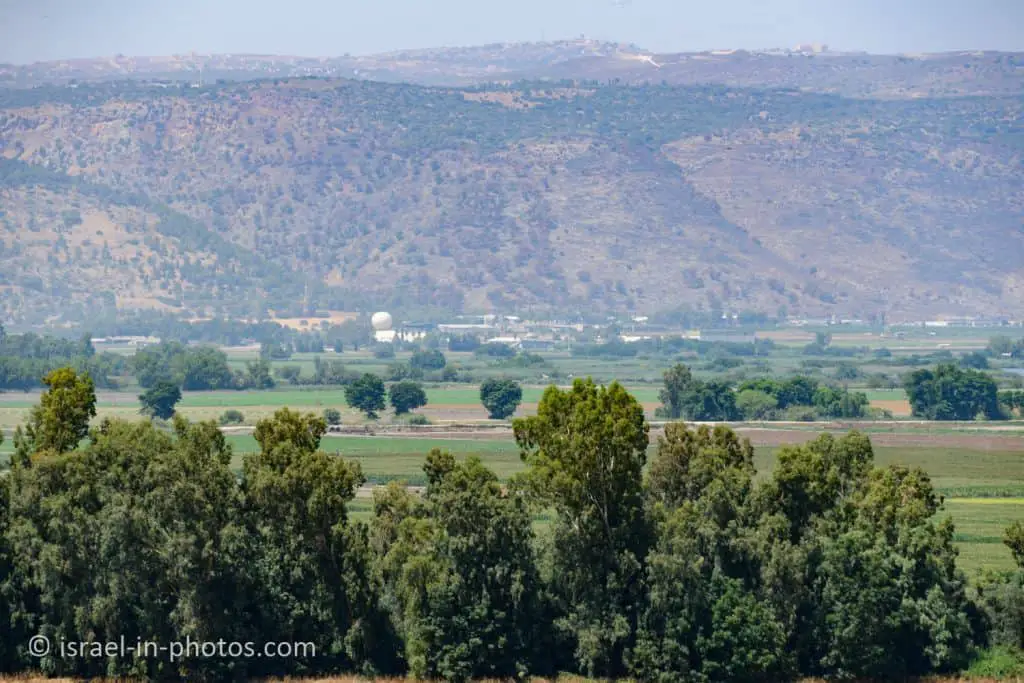
Since the blue trail does not have a lot of vegetation, it offers views of the surroundings. Here are several photos:
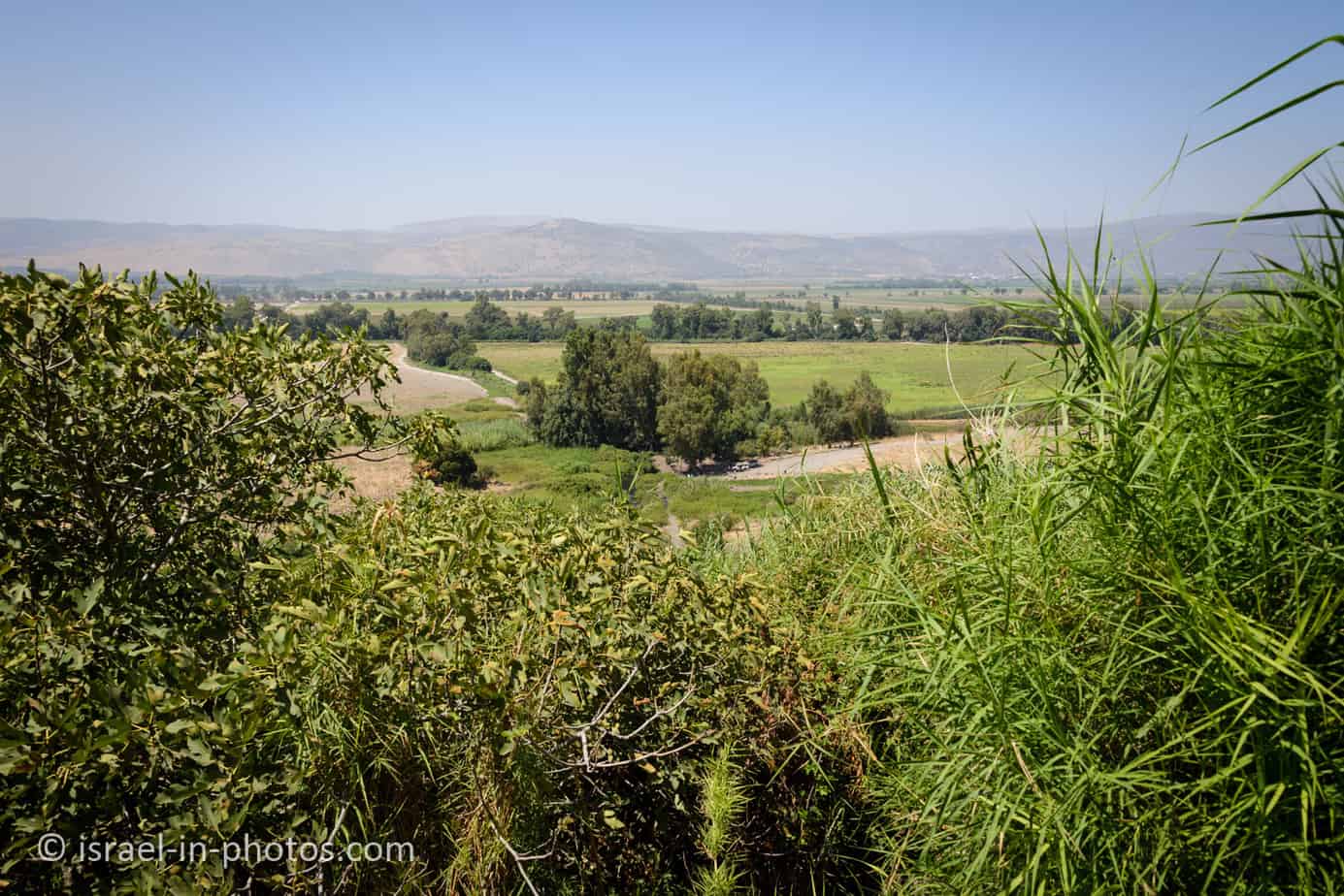


In the following image, to the left (where there are many trees), you can see the closer parking. And to the right (it is hard to see, but there are some cars), you can see the further parking (close to road #918).
In the far, you can see Agamon Hula. And you can spot it by the air balloon near Agamon market.
Returning using the blue trail took us about half an hour. And in total (including the walk to the additional parking and stops at the pools and waterfall), we spent 3 hours at Ein Tina. Thus a typical visit will probably be 2 – 4 hours.
Summary
Ein Tina (Ein Notera) offers a lovely water hike that perfectly suits the hot summer days. Both the adults and the children enjoyed the hike. But before visiting, you should read about the trails, including the age restrictions comment.
This area has many attractions. You can explore them using the interactive map above.
Have you visited Ein Tina? Tell us in the comment below about your experience.
That’s all for today, and I’ll see you in future travels!
Stay Tuned!
Additional Resources
Here are several resources that I created to help travelers:- Trip Planner with Attractions and Itineraries is the page that will help you create your perfect travel route.
- What is the Best Time to visit Israel? To answer this question, we will consider the weather, prices, holidays, festivals, and more.
- Information and Tips for Tourists to Israel will answer the most common questions tourists have about Israel (including safety, passports, weather, currency, tipping, electricity, and much more).
- Israel National Parks and Nature Reserves include a complete list, top ten, map, tickets (Israel Pass, Matmon, combo), and campsites.
- If you are looking for things to do, here are the pages for Jerusalem, Tel Aviv, Haifa, Sea Of Galilee, Akko (Acre), Eilat, Nazareth, Safed (Tzfat), and Makhtesh Ramon.