Ayalon-Canada Park – Visitors Guide (Map, Trails, and More)

Ayalon-Canada Park near Latrun has hiking tracks, cycling trails, places for a picnic, viewpoints, and ruins from various periods.
Map
Ayalon-Canada Park is near the Latrun interchange between roads #1 and #3.
Directions for drivers: Link to Waze and Link to Google Maps
Directions for public transport: Link to Moovit
Interactive map of the area:
And here is a map by KKL of Ayalon-Canada Park:

Note: you can click on the map to enlarge it.


Trails
The water aqueduct is the most popular trail. And later in this post, we will visit it. Also, I will not list short paths (less than 1 km) that take you from the car to the point of interest and back. Here is an interactive map from israelhiking.osm.org.il where the most popular trails are marked:
| Name | Color of the Trail on the Map above | Description | Distance (km) | Total climb and descent (meters) | Notes |
|---|---|---|---|---|---|
| Water Aqueduct Trail | Green | It takes you from the springs valley along the aqueduct uphill. | 1.4 | 91 | Loop trail to the House of Arches, Tel Ayalon, and other points of interest |
| Loop trail to the House of Arches, Tel Ayalon, and other points of interest | Blue | Loop trail to the house of arches, Tel Ayalon, and other points of interest | 2.3 | 205 |
Bicycles
Ayalon-Canada Park is popular among cyclists. And KKL created two circular singles for cyclists.
Note: you can find the cycling trail map above in the maps section.
| Single name | Color on the map above | Length (km) | Total climb and descent (meters) | Level |
|---|---|---|---|---|
| The Seventh Fate | Black with yellow borders | 10 | 200 | Suitable for experienced cyclists |
| Ayalon Single | Red with yellow borders | 10 | 150 | Suitable for experienced cyclists |
| Combined trail | Start with the Seventh Fate, then Ayalon Single, and finish with the Seventh Fate trail. | 20 | 350 | You can combine the first two singles into one |
Entrance Fee
Free.
Entrances
There are two entrances to Ayalon-Canada Park. They are located on opposite sides of road #3.

The western complex is much smaller. There are only picnic tables, restrooms, and a small memorial with some ancient remains. Thus, if you want to hike, cycle, or visit one of the historical sites, enter through the eastern entrance (if you are arriving from road#1, turn right).

Opening Hours
Both the western and eastern entrances have car gates, and they are open:
Daily: 05:30 – 17:30
Picnic and Barbeque
Many picnic tables are in different park areas, probably why most people visit Ayalon-Canada Park.
In the mentioned picnic areas, signs state that bonfires are prohibited. But there are coal bins and stands for BBQ. Thus you can prepare a barbeque.


Restrooms
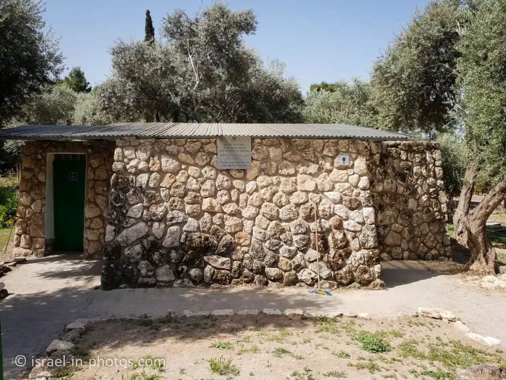
This park has two restrooms – one in the western complex and another in the eastern area.
The opening hours of the restrooms: 08:00 – 16:00
About Ayalon-Canada Park
The park is rich in natural woodland scenery, planted forests, and especially fruit trees, which can be seen throughout the area. There are fascinating historical sites in the park and around it, such as an aqueduct, burial caves, secret tunnels, a crusader castle, and church ruins. KKL-JNF cares for the park’s fruit trees and has planted additional trees, developing scenic roads, parking areas, scenic lookouts, and many recreation areas. In the Maayanot Valley and at the Date Palm Spring, large recreation areas have been developed for leisure activities in natural surroundings, including a beautiful manmade lake. It covers seven thousand dunams north of the Jerusalem – Tel Aviv highway, between Shaar Hagai and the Latrun Interchange.
There are also recreation areas near the Ayub Well and in the vicinity of the Ayalon Springs. Ayalon Canada Park is named after the Ayalon Valley that lies at its feet. The natural topography of the Ayalon Valley has made it a very desirable location since ancient times. This is because the fertile soil, which benefited from the water that flowed into the valley, was cultivated since the dawn of history, and also because there is a strategic crossroads in the valley, which dominate the roads from the lowland and the coastal plain to Jerusalem and Beit Horon.
Many battles were fought for control of the valley. One of the most famous was the war between Joshua and the Canaanite kings, which ended with the famous cry, “Sun, stand still in Givon, and the moon in the Ayalon Valley” (Joshua 10:12). There were also fierce battles in the Ayalon Valley between the Hasmoneans and the Seleucids in the 2nd century BCE.
From the scenic roads in Ayalon Canada Park, you can see the locations where, according to tradition, the battles between the Hasmoneans and the Seleucid Army took place, including an observation point with a view of Ma’ale Beit Horon and the Emmaus area. This is where the first battles of the Hasmoneans took place from 167 to 165 BCE.
In the first stage of the Arab occupation of the land of Israel in the 7th century CE, this valley served as a center for their forces. The crusaders also considered the Ayalon Valley a strategic asset and built an important fortress in Latrun, Le Toron Des Chevaliers, the castle of the knights. Many fierce battles also took place here during the War of Independence, between the IDF and the Jordanian Legion.
Source: KKL
And here is a video by KKL telling about this park:
Valley of the Springs
The valley is around 1.5 kilometers long, and alongside it are interesting remains from the water system of the city of Emmaus-Nicopolis. The aqueducts were built in the Late Roman period (3rd and 4th centuries CE). On two different levels, two aqueducts were built from stone links along which a channel was carved. The upper aqueduct starts at the Eked antiquities.
The lower aqueduct starts at an underground spring. The water from this spring became available after a shaft three meters deep was made, which reached the groundwater level. On the hiking trail along the Maayanot Valley, there are fig trees, pomegranate trees, and antiquities such as agricultural implements and ancient tombs. Especially notable is the Roman Tomb, a family gravesite carved in the rock. The route ends at the Date Palm Spring, where KKL-JNF created a manmade lake surrounded by recreation areas.
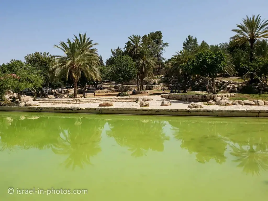
In the lower part of the Maayanot Valley, next to the Date Palm Pool, a circulation system was installed, which conducts water from the pool 300 meters up the valley. The water flows back down to the pool via falls and pools. The system, which began operating in the summer of 2012, is at the test-run stage, and it operates every day from 09:00 to 15:00.
Source: KKL


Note: the water in this spring is not clean, and entering the water is prohibited.
As you can guess, the name was given because of the date palms growing here. Here are they: