
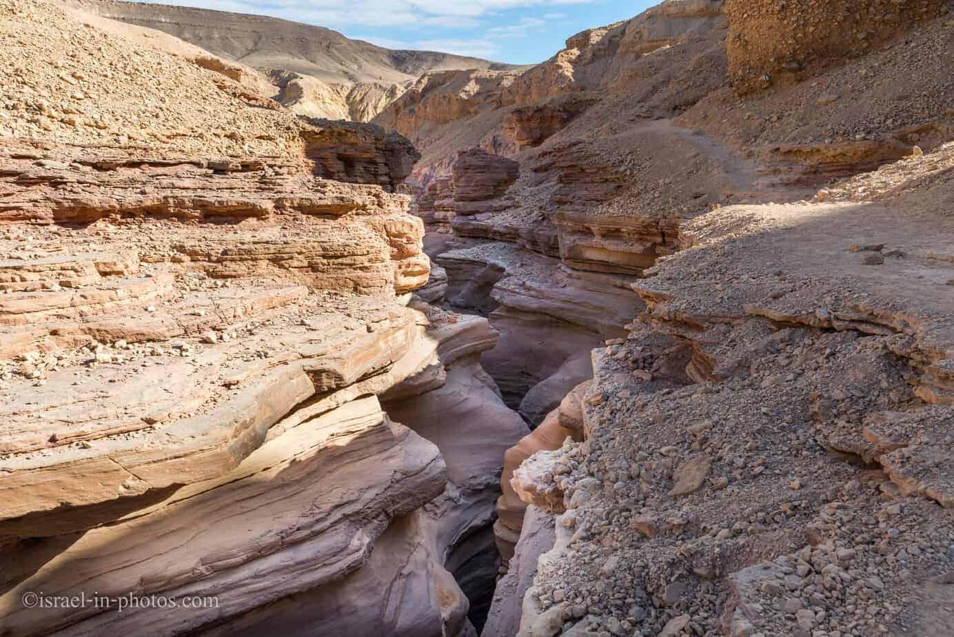
Red Canyon, Eilat – Visitors Guide with Tracks

The Red Canyon offers stunning hikes in southern Israel. And the most popular track is short, circular, free, and suitable for families.
Map
The Red Canyon is approximately 23 km from Eilat (on-road #12). And if you are reaching by car, then the drive from Eilat will take about 20 min.
Map of the area:
Directions for drivers: Link to Waze and Link to Google Maps
Directions for public transport: Link to Moovit
Interactive map of the area:
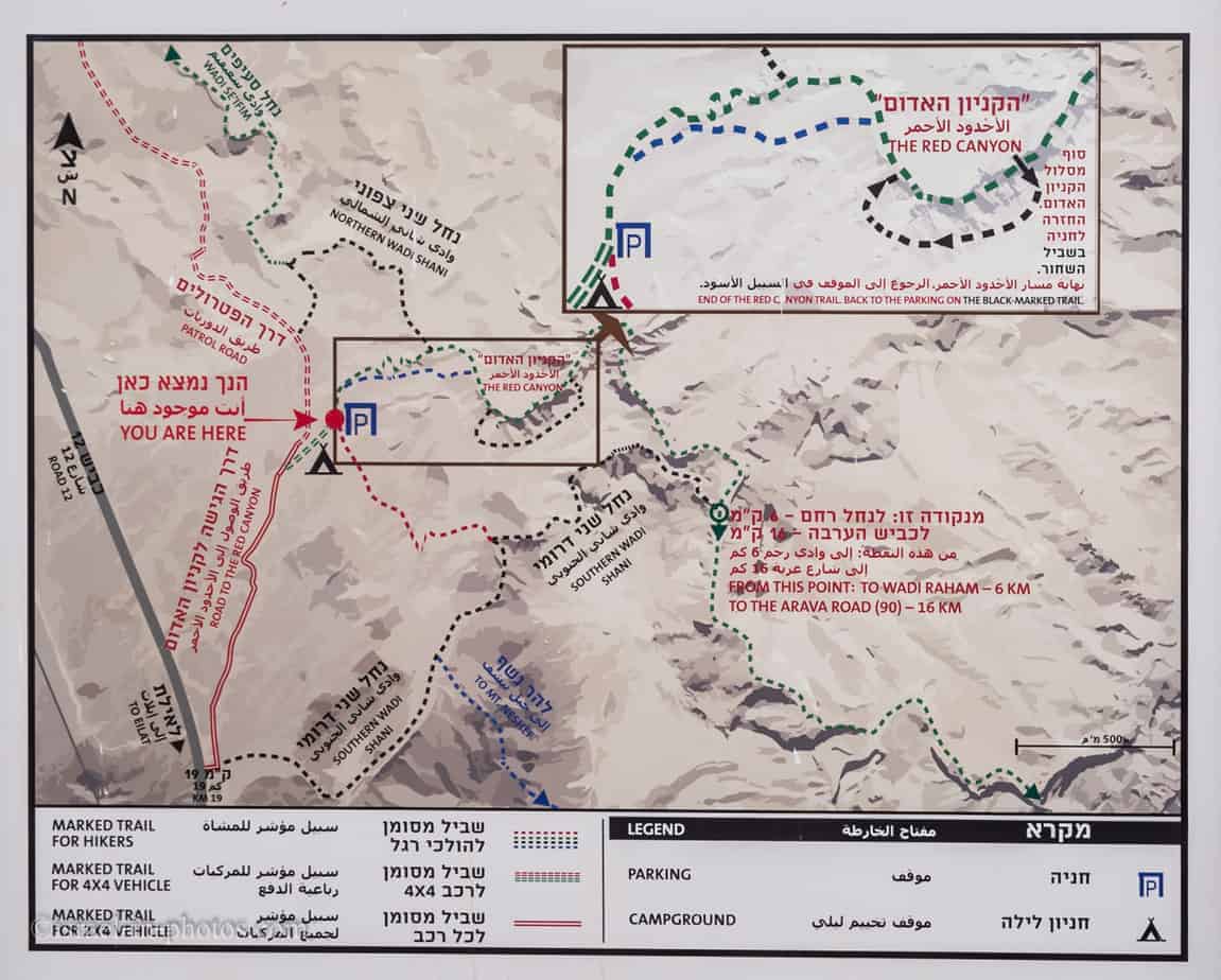
Here is the trail map, and we will overview the trails in the next section.
Tracks
Here is an interactive map from israelhiking.osm.org.il where the short loop trail is marked:
| # | Name | Description | Distance | Total climb and descent | Notes |
|---|---|---|---|---|---|
| 1 | Short Red Canyon track | Take the green path until it meets the black way for the second time. Then, return using the black, green, and blue trails. | 2 km | 193 meters | This short loop track is the most popular option. |
| 2 | Red Canyon and Southern Wadi Shani | Take the green path until it meets the black way for the third time. Then take the black and the red trails back to the parking. | 5 km | 676 meters | |
| 3 | Red Canyon, Southern Wadi Shani, and Neshef mountain | Take the green path until it meets the black way for the third time. Then take the black track and turn to the blue trail to the top of Neshef mountain. Use the brown and black paths to return. | 9 km | 923 meters |
We did not have additional maps besides the one on the photo of the sign. We chose option #1, and the markings of the trails were clear. Thus, at least for #1, no additional maps are required.
Directions
There are several options to get there. Let’s go over them.
Car: Reaching the canyon by car is the fastest and one of the cheapest options. Entering “Red Canyon” into Waze will lead you to the parking lot.
Shuttle: I saw online a shuttle from Eilat to the Red Canyon and back. But keep in mind that, at least currently, it is not available all year round. You can find additional details here.
Bus: If you are considering public transport, the closest stop is bus #392. Route 392 stops on road #12, about 2 km from the trail’s starting point. So if you travel by bus, it will add an extra 4 km to your hike. You can find directions at this Moovit link (update your starting point).
Taxi: Getting to and from the Red Canyon by taxi is the most expensive option. Moreover, if you plan to call a taxi when you finish the trail, I should warn you that there is no cellular reception at all places in the mountains.
Entrance Fee
Free.
Opening Hours
You can visit this Nature Reserve during the daytime. And since it is very close to Egypt’s border, you can only be in authorized campgrounds after dark. Furthermore, since you have to finish the trail before dark, you must start it at least two hours before sunset. And this leads us to the next question.
When to Visit The Red Canyon?
First, let’s start with the season. During the summer, it is boiling there. Thus I would suggest any other season. And preferably winter. But one important note, do not hike after and during rains. Though wet stones are problematic, the actual concern is flooding. And flooding in a narrow canyon can be lethal.
Regarding the time of day, I would suggest coming early. The earlier, the better. I advise early morning since, first of all, it is less hot during those hours. And secondly, there will be fewer people. Significant parts of this trail go through the narrow canyon and include multiple ladders. Thus, if you get stuck after a big group of people that take selfies every several meters, the hike will take more time than expected.
The photos you will see in this post are from our last visit. On a sunny day in December, we started the hike at 8:00.
How Much Time Does The Red Canyon Track Take?
As I described above, the short loop track took us 1.5 hours. Depending on your speed, the number of people, and photographs, this trail should take 1 – 2 hours.
Short Loop Track
And now, I will show you the short loop track, which starts with the green path at the parking.
Green Track
Shani stream, which originates in Egypt, undercuts colorful sandstone and creates the Red Canyon. When the volcanic granite rock erodes, its quartz survives mechanical wear and chemical decomposition. Sandstone is made of those same surviving quartz crystals, and its red color derives from the presence of iron compounds.
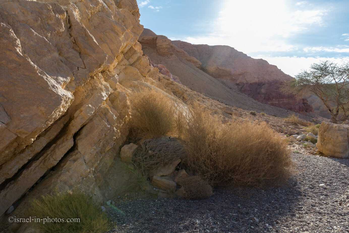
The track starts with a light path along hills.



Inside the Red Canyon
Then the green trail leads you inside a narrow canyon. And you start going down and down. In the beginning, you climb over rocks as you go down and then begin using metal ladders. Here are several photos from that section:


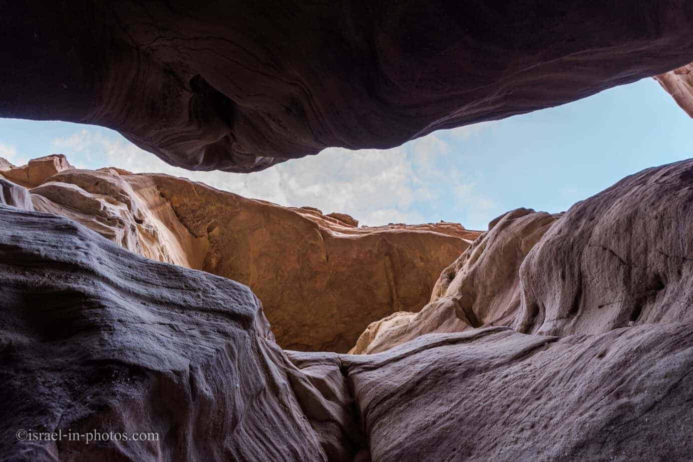
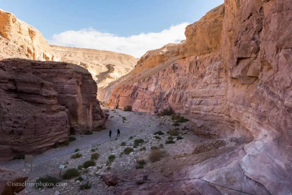
The trail inside the narrow canyon is not long, and it took us about twenty minutes to pass it (this includes my photo and video stops). When you exit the canyon’s narrow part, you will see signs (bottom left in the following picture) that tell you to turn right. These signs lead you toward the black trail.
Black Trail
The black trail leads back along the canyon’s upper rim (while the green passes inside).
It seems that the Red Canyon is #instafamous. These youngsters were taking selfies frequently. And since there were about a dozen of them, jams were created. But this gave me additional time to photograph ;)