

Tel Dor National Park – Visitors Guide (Map, Trails, and More)

Tel Dor National Park, located approximately 30 km south of Haifa, features the remains of the ancient city of Dor, situated near the sea.
Map
Tel Dor National Park is situated near the modern cities of Dor and Nahsholim. It is approximately 30 km south of Haifa. The easiest way to reach this spot is to enter its name into Waze or click this link.
Directions for drivers: Link to Waze and Link to Google Maps
Directions for public transport: Link to Moovit
Interactive map of the area:
And here is a map of Tel Dor National Park:

Note: You can also find an excavation map of Tel Dor below.
Trails
Following the directions, you will arrive at a free parking lot near the Tel Dor Center for Marine Ecology and Archaeology. There is a trail near the parking. And after about twenty meters, the trail splits. If you take a left, you will follow the ridge path (accessible yellow trail). And if you take the right, you will go along the beach path (red route). You can also combine these trails. That is actually what our guide suggested. Follow the yellow trail till point #6, and return using the red trail.
The distance between points #1 and #6 is about one km. Moreover, you can combine this hike with a visit to the Mizgaga Museum at Nahsholim. The distance between point #6 and the Mizgaga Museum is approximately one km.
Opening Hours
Sunday – Thursday and Saturday: 8:00 – 17:00 (16:00 in winter).
Friday: 8:00 – 16:00 (15:00 in winter).
On holiday eves, usually 8:00 – 13:00.
Note: Since the pandemic, the Israel Nature and Parks Authority has started limiting the number of people in each park. Thus, reservations are recommended through the official site (you can find the link below).
On weekdays, you must book places on the official website. And on Saturdays, reservations are not required (entrance is based on available places).
Entrance Fee
Free.
If you plan to visit multiple national parks, consider purchasing a combo ticket. You can find additional info at National Parks and Nature Reserves.
Note: opening hours and ticket prices were updated in November 2025. In any case, recheck the official site before visiting.
Contact Information
Phone: 04-6035300
Email: yossefu@npa.org.il
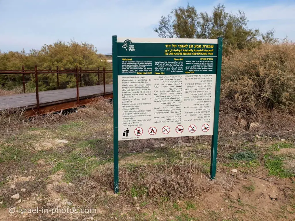
Several notes from the signs:
- Swimming is prohibited.
- Fishing is prohibited.
- Do not remain in the park after dark.
- Do not light fires.
Restrooms
The parking lot is near the Center for Marine Ecology and Archeology. And inside this complex, you can find restrooms.


Mizgaga Museum at Nahsholim
At the Mizgaga Museum, you can see archeological remains from this national park, including the Tel Dor mosaic. In this post, I will share some information from the museum. For additional information, visit the Mizgaga Museum.
We visited this national park during Hanukkah 2021. During the holidays, the Israel Antiquities Authority offered free tours at Tel Dor and the nearby Mizgaga Museum in Nahsholim. We joined two tours, and for a better picture, I recommend visiting both places together.
Tel Dor Center for Marine Ecology and Archeology
You can climb to the roof of the Tel Dor Center for Marine Ecology and Archeology. And the rooftop lookout was the first place where the guide took us.
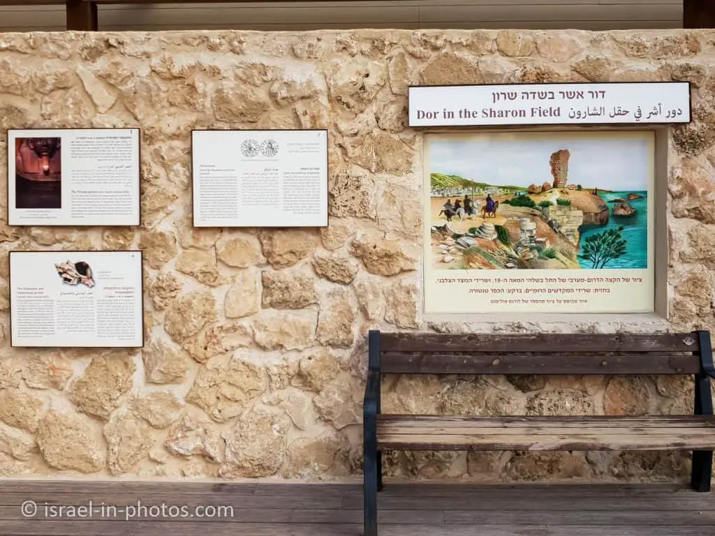
You can get a full view of the surroundings at the rooftop lookout.

There are also explanation signs. Here is what the north sign says:
Dor was situated on the southern border of Phoenicia — the coastal strip extending from northern Syria to the southern coastal plain of Israel. The importance of Dor is attested by an inscription on the coffin of Eshmunazar, king of Sidon (fifth century BCE), which mentions “Dor and Jaffa, the great countries of grain in the Sharon Field.” The road northward along the coast of Carmel was a major thoroughfare in the Hellenistic and Roman periods, connecting Dor to Akko and later, Caesarea to Akko. Milestones from that road have survived, as have paved portions, curbstones, and a divider that split the road into two lanes. The road begins about 50 m east of the beach, and subsequently moves about 500 m eastward between two kurkar ridges. Inscribed milestones note that the road was renovated in the second-third centuries CE, but we do not know when it was first built.


Tel Dor is situated on a kurkar (calcareous sandstone) ridge flanked on the west by sandy inlets. Wave erosion of the kurkar and biological buildup on the rock (by creatures that leave behind lime or calcium sediment) have created abrasion platforms where the beach meets the sea. This is the area of high and low tides, also called the littoral zone. The abrasion platforms have three parts:
(1) the supralittoral zone, which receives spray from the waves and where conditions are typically unstable. At low tide in summer, the rocks and the creatures on them are exposed to dryness and high temperatures, and in winter, rainfall washes over them, and their salinity declines;
(2) The littoral zone, which is exposed at low tide and submerged at high tide;
(3) the sublittoral zone, which enjoys stable conditions and where the continuously submerged kurkar rock serves as a habitat for a variety of invertebrates and fish. The lagoon north of Tel Doris is a unique habitat on Israel’s coast.
It is flooded with seawater; but protected from the direct impact of the waves, which creates an area rich in flora and fauna and a preferred reproduction for fish and invertebrates.
Source: sign
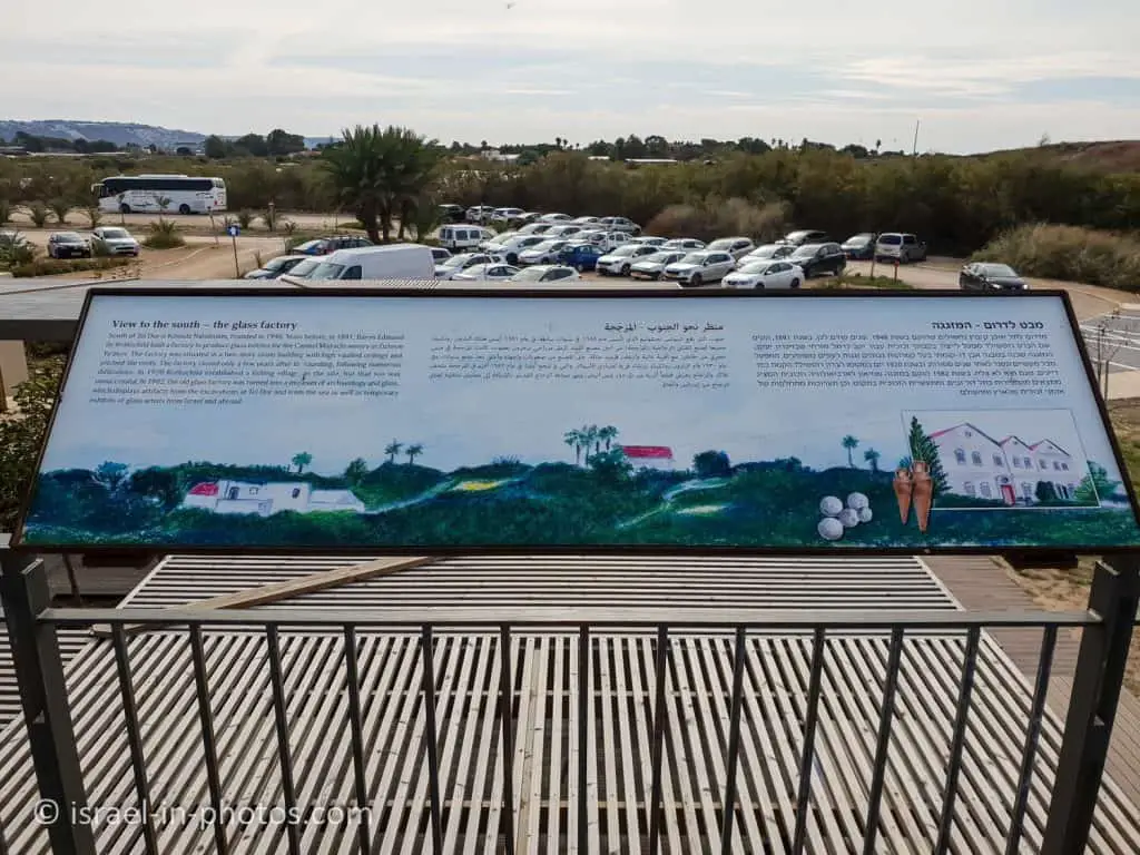
To the south, you can see the parking lot. And the signs tell about the Mizgaga Museum.
Ruins of Tel Dor
And now, let’s head to the ruins. There are ruins from various periods, and numerous archaeological excavations have been conducted.
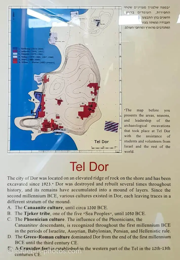
The city of Dor was located on an elevated ridge of rock on the shore and has been excavated since 1923.* Dor was destroyed and rebuilt several times throughout history, and its remains have accumulated into a mound of layers. Since the second millennium BCE, various cultures existed in Dor, each leaving traces in a different stratum of the mound:
A. The Canaanite culture, until circa 1200 BCE.
B. The Tjeker tribe, one of the five “Sea Peoples”, until 1050 BCE.
C. The Phoenician culture. The influence of the Phoenicians, the Canaanites, descendants, is recognized throughout the First millennium BCE in the periods of Israelite, Assyrian, Babylonian, Persian, and Hellenistic rule.
D. The Greco-Roman culture dominated Dor from the end of the first millennium BCE until the third century CE.
E. A Crusader fort is established in the western part of the Tel in the 12th-13th centuries CE.
Source: sign
The Theater
Our first stop was the theater (#2 on the map).


The theater was approximately 60 meters in diameter (like the one in Caesarea). But not much survived. Thus, currently, you can only see slopes on the ground.
Purple Dye Industrial Zone
We headed to point #3 from the theater, the purple dye industrial zone.
It is located on the beach. And it is the only point you cannot see from the accessible trail. Thus, we left the yellow trail and headed to the beach.