Shivta National Park – Visitors Guide
Visit Shivta National Park to witness the ancient Nabatean city ruins. This Byzantine city thrived in the waterless Negev desert.
Note: Shivta, Mamshit, Avdat, and Haluza are spread on the incense route. And since they were able to build prosperous cities in the desert, they are all part of the UNESCO World Heritage list.
Table of Contents
Map
Shivta is near road #211 in the Negev desert – approximately 60 km from Beer Sheva and 76 km from Mitzpe Ramon. And the easiest way to reach this spot is by entering “Shivta National Park” into the navigation app.
Directions for drivers: Link to Waze and Link to Google Maps
Directions for public transport: Link to Moovit
Interactive map of the area:
And here is a map of Shivta National Park (from the official booklet):
Trails
There is a free parking lot near the park. The marked trail begins there and passes through the main points of interest in the city. The length of the track inside the city is a little more than one km. And if you decide to visit the orchard, it will add 1.6 km.

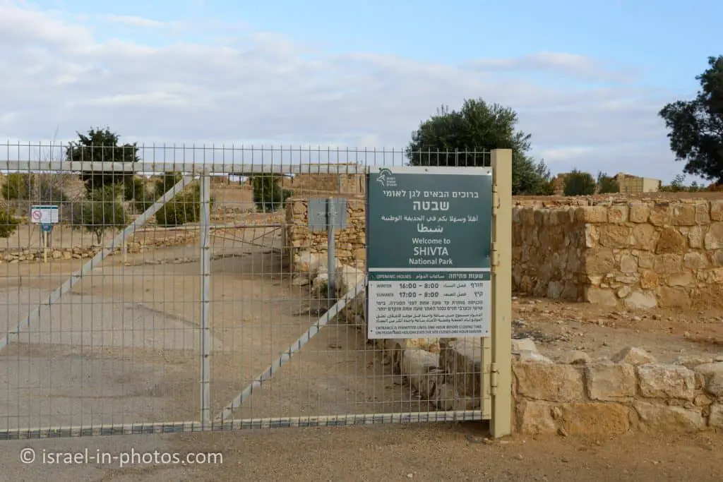
Opening Hours
Sunday – Thursday and Saturday: 8:00 – 17:00 (16:00 in winter).
Friday: 8:00 – 16:00 (15:00 in winter).
On holiday eves, usually 8:00 – 13:00.
Note: Since the pandemic, the Israel Nature and Parks Authority has started limiting the number of people in each park. Thus, reservations are recommended through the official site (you can find the link below).
Entrance Fee
Free.
If you visit several National Parks, then consider purchasing a combo ticket. You can find additional info at National Parks And Nature Reserves.
Note: opening hours and ticket prices were updated in January 2022. In any case, recheck the official site before visiting.

Restrooms
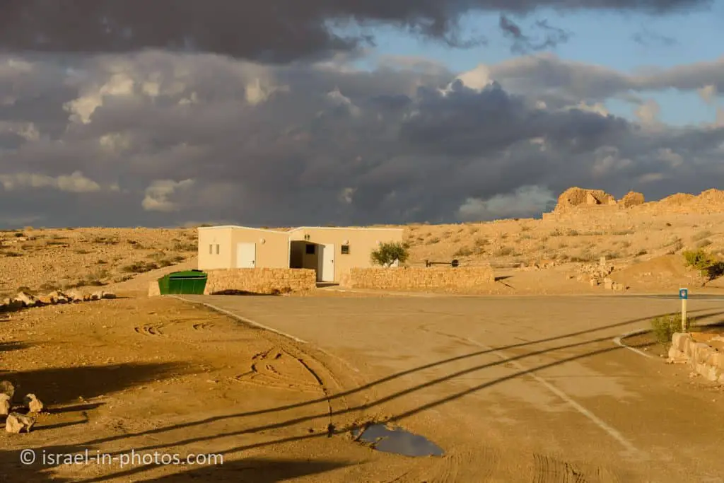
As you can see from the map above, there are restrooms to the north of the parking lot.
History
The beginnings of Shivta are lost in the mists of time. A small number of archaeological finds, mainly Nabatean potsherds, are evidence that the Nabateans first settled here in the Roman period (1st – 2nd centuries CE). The majority of the homes found at the site were built later, in the 4th – 5th centuries CE, when Shivta began to flourish. At that time, when Christianity penetrated the Negev, we see a blossoming of the entire area, mainly due to the consolidation of the borders of the Byzantine Empire and the security that prevailed throughout the country. It appears that the Negev at that time was more humid and rainy than it is today.
The first inhabitants of Shivta were Nabateans, members of an Arab tribe. Although their ethnic origin is clear, it is unknown when they began to appear in the area as an independent entity. The earliest Nabatean coins and inscriptions found at Shivta are from the beginning of the 2nd century BCE.
At first, most of them lived as nomads, breeding camels, sheep, and goats. The Nabateans accumulated great wealth when they developed the Incense Route in the Negev, which ran to the ports of Gaza and Hrinokorura (El Arish). However, in the 1st century BCE, the Romans learned to sail ships from India to Egypt and from there to the Nile, in competition with the route that the Nabateans controlled. Trade along the Incense Route declined until it ceased altogether in the 3rd century CE. Many of the Nabateans converted to Christianity and began engaging in agriculture. The big wave of agriculture in the Negev was demonstrated in the form of splendid farms and settlements.
Shivta too became a flourishing settlement, in which over 2000 people lived. Its economy was based mainly on agriculture and on providing services to the pilgrims coming to worship at the tombs of the saints buried in the churches at Shivta.
Shivta is mentioned by name in a book from the 5th century known as “The Tales of St Nilus”. The monk Nilus tells of his son Theodulus, who was kidnapped in southern Sinai, and after many tribulations, ended up in a village by the name of Sobeita, where he was offered for sale. One of the villagers bought him and sold him to the Bishop of Halutsa, who returned him to his father.
Shivta is also mentioned in two papyri found at Nitsana. One papyrus mentions 30 donors from the Negev who raised funds to build the monastery of St Sergius at Nitsana. Nine donors came from Shivta, evidence of the community’s strong financial status. The other papyrus, a copy of which was sent to Shivta, was written at the end of the 7th century (after the Muslim conquest). It was intended to organize a delegation of landowners in the Negev, who wanted to protest against the heavy taxes imposed by the new regime.
Shivta continued to exist even after the Muslim conquest. Still, its residents gradually left their homes until it was completely abandoned by the end of the 9th century.
The meaning of the name Shivta is unclear. Its name (Subieta, or in Greek: Sobota) may commemorate a Nabatean figure, known from the cities of Avdat and Halutsa. “Shubito” is a common Nabatean first name.
Note: unless stated otherwise, all quotes were taken from the official site.

And now let’s tour the city.
Colt Delegation House
Near the entrance to the city, you can see the Colt delegation house.
a stone building to the south of the parking area, built by the excavation delegation from New York University and the British School of Archaeology in Jerusalem, headed by Harris Dunscombe Colt (son of the well-known American gun manufacturer). The delegation excavated at Shivta between 1934 and 1936.

The Western Gate
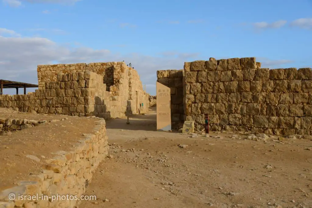
Near the parking lot, you can find the western gate. But it is not a typical gate.
Shivta was not surrounded by a wall, and no fortifications were found, but the outermost houses of the city were built in a line, in the form of a city wall. The entrance of the street to the west of the city, called the Western Gate, serves as a kind of gate.

The Stable House
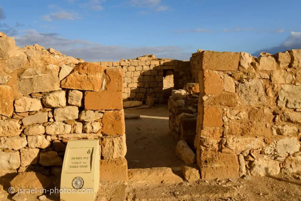
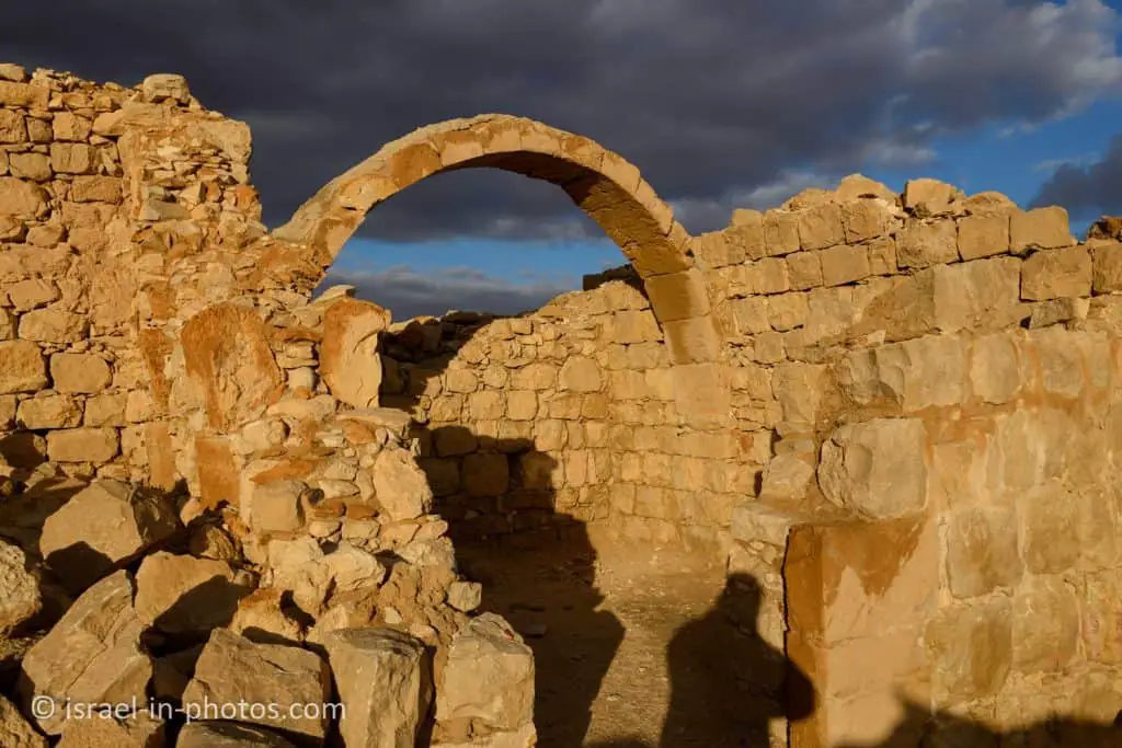
The Stable House is a large residential house built around an inner courtyard. A flight of stairs shows that there was another residential story. In one of the rooms, water troughs and managers are incorporated in the walls, indicating that this wing of the house was used for livestock. The average size of houses in Shivta, including the courtyard, is around 360 m².
The Pools Square

The Pools Square – a square in which there are two large pools (only one of which has been excavated). The waters of the pools came from an aqueduct at a distance of 2.5 km from the city and then through channels that can still be seen today. The cisterns in the courtyards of the houses were private, but the pools were used by the general public.

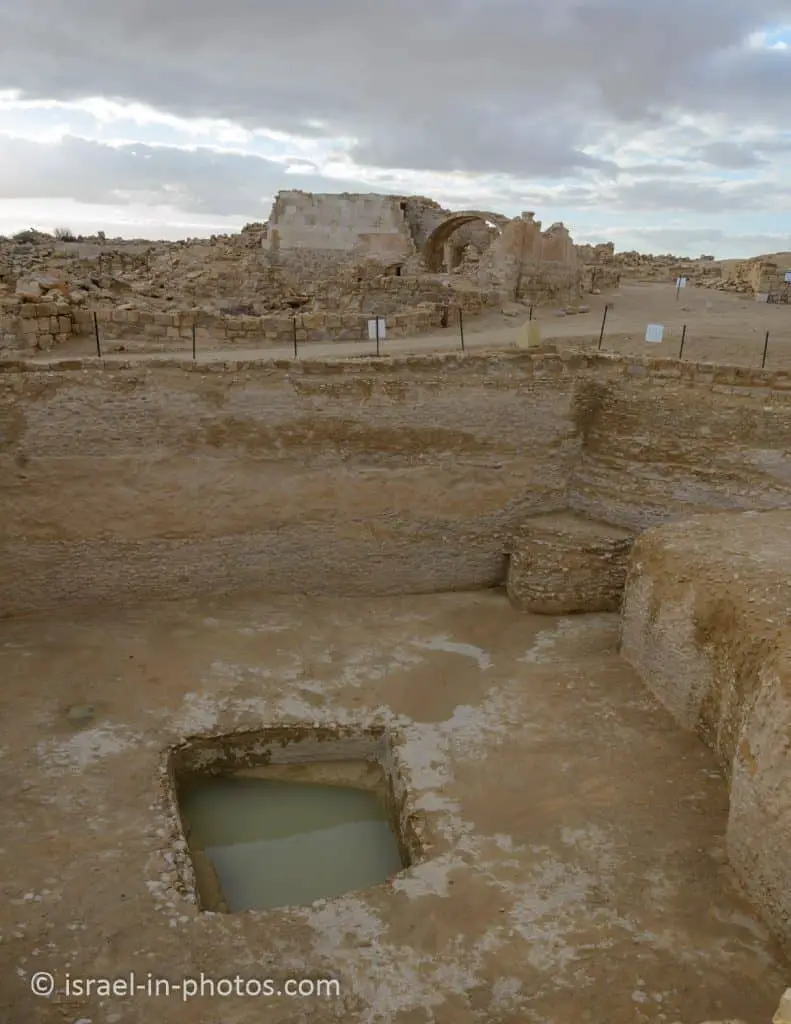
Near Pools Square, you can find the Mosque and the Southern Church.
The Mosque
The Mosque – to the north of the baptistery the remains of a hall were found, with two rows of columns, three columns in each row. The mosque presumably served the Muslims who settled in Shivta, or Shivta residents who converted to Islam. At the entrance to the mosque is a stone step inscribed with a cross, which appears to prove that there were no Christians living in Shivta when the mosque was in existence.

The Southern Church

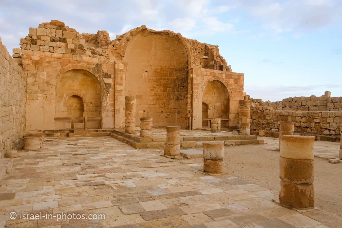
The Southern Church was apparently built over a Nabatean-era ritual building. The prayer hall is in the form of a basilica – a nave, separated from 2 side halls (aisles) by two rows of columns. The nave is paved with marble slabs, while the aisles are limestone. Two square rooms were built alongside the apse, as was customary in the Negev cities of the 4th century. Later, apparently, at the beginning of the 6th century, apses with small niches were built in place of these rooms, in which the relics of saints were placed in special reliquaries. To the north of the church, a large baptistery was built. Both infants and adults were baptized in baptisteries of this kind, and these would have included some members of the nomadic population wanting to convert to Christianity.


As mentioned above, since Christianity arrived in the Negev desert in the fourth century (the time of the construction of these churches), the baptism baths have a bigger size. To allow both adults and children to convert to Christianity.

The Governor’s House
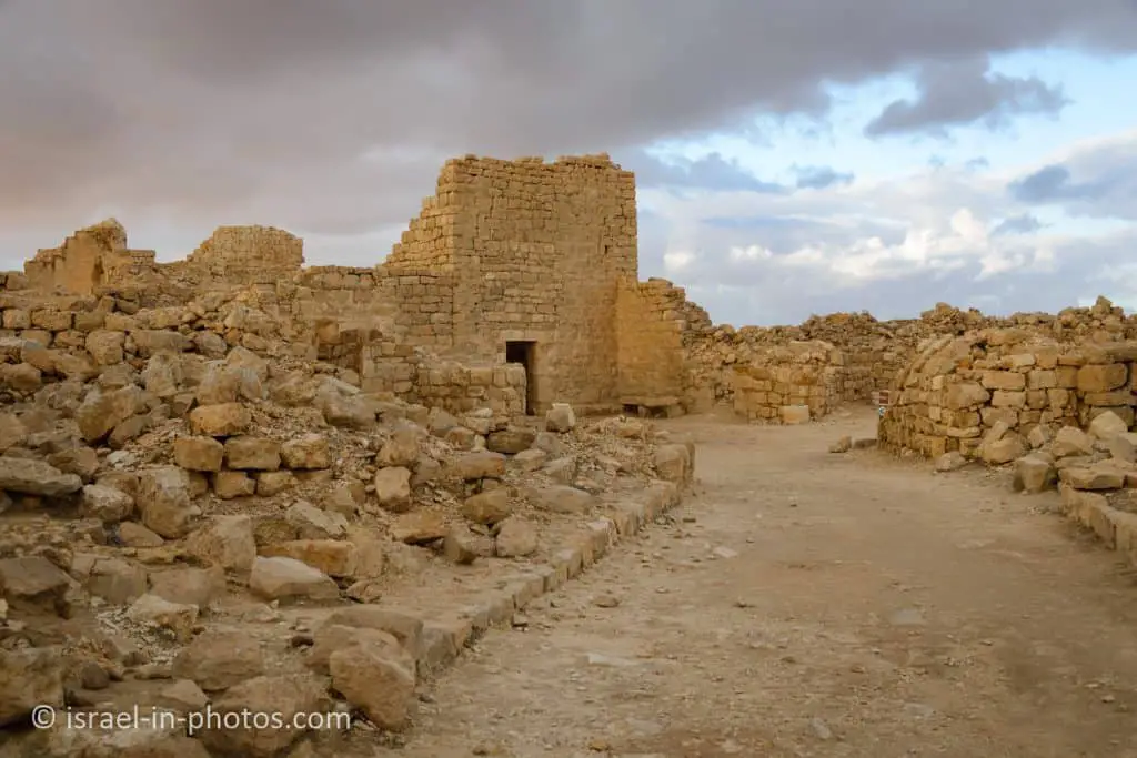
The title of the “Governor’s House” was given to a private residential building that incorporates a tall tower, which has survived to a height of almost 6 m. The ceiling of the tower is almost twice as high as that of a regular home, and on the assumption that there were three stories when complete, the tower would have risen to a height of 12 m. The lintel decorations of the restored entrance remain in excellent condition, as is the original stone slab roofing of the first story.

The Northern Church

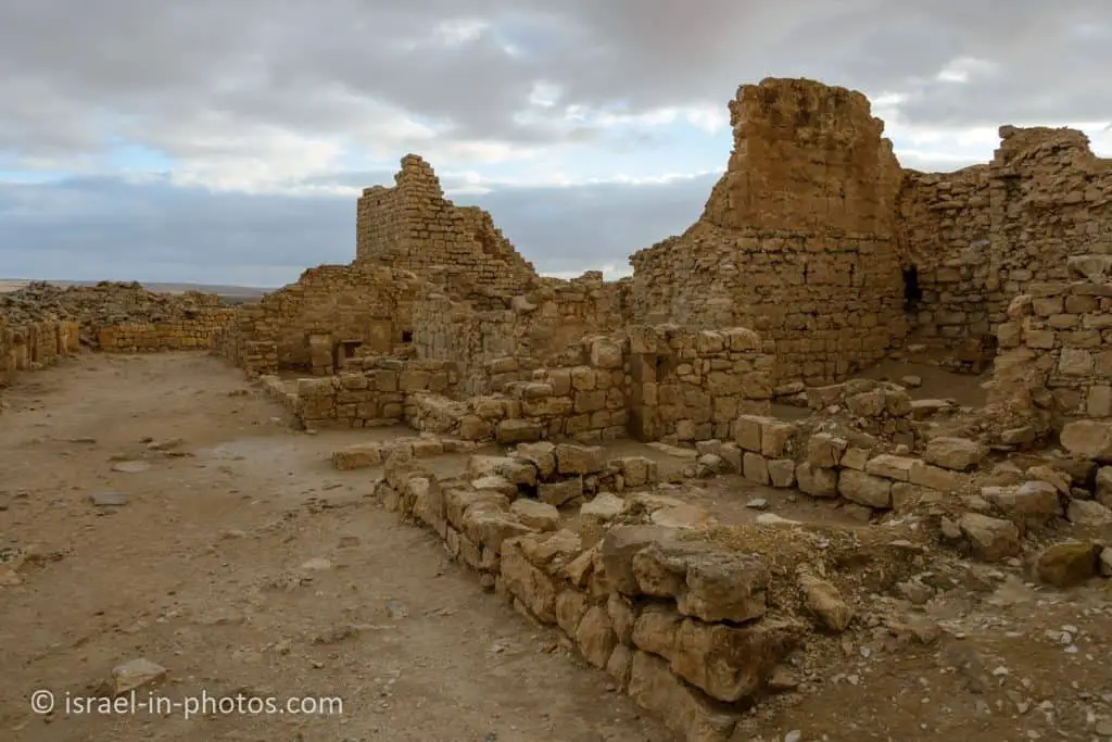
The Northern Church – in the large church of Shivta, the walls have been preserved to a height of 10 m. Inscribed on the entrance gate are the letters alpha and omega, the first and last letters of the Greek alphabet, hinting at the words of Jesus: “I am the beginning and the end”. The church is built in the style of a basilica. The prayer hall is entered through a square atrium, surrounded by two-story halls and rooms, apparently used as a monastery. The prayer hall and some of the walls were faced with marble. In the two side apses, niches were found, in which chests containing sacred objects were kept. Through a side entrance in the southern side hall, it is possible to enter two chapels, one of them a baptism chapel, in which a large, cruciform baptismal font was found, entirely carved from a single stone. There were marble tombstones of the religious figures who were buried there in the chapel.


The Central Church
The Central Church – a relatively small church, apparently incorporated in an existing residential area. The three entrances to the prayer hall face directly onto the street.

The Vaulted House
The Vaulted House is a very impressive example of stone slab roofing at Shivta, the slabs laying on stone vaults that have been preserved in their entirety.
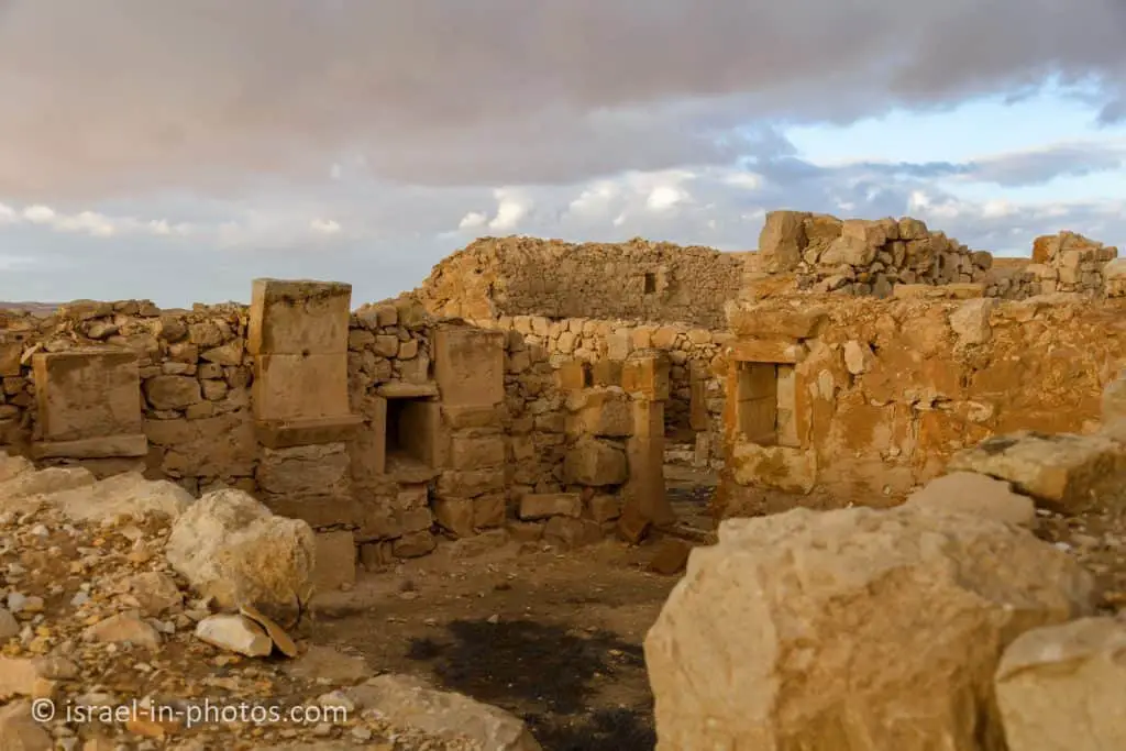
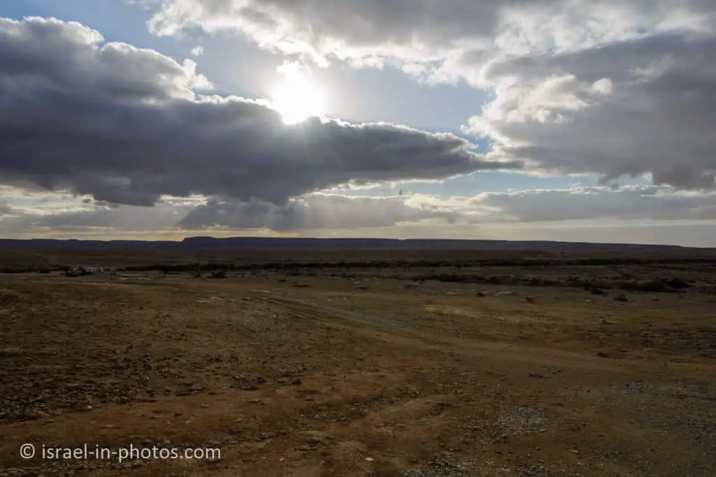
And here are several additional photos from this national park:



Summary
Shivta National Park is a UNESCO World Heritage Site. Here is what they say:
The four Nabatean towns of Haluza, Mamshit, Avdat, and Shivta, along with associated fortresses and agricultural landscapes in the Negev Desert, are spread along routes linking them to the Mediterranean end of the incense and spice route. Together they reflect the hugely profitable trade in frankincense and myrrh from south Arabia to the Mediterranean, which flourished from the 3rd century BC until the 2nd century AD. With the vestiges of their sophisticated irrigation systems, urban constructions, forts, and caravanserai, they bear witness to how the harsh desert was settled for trade and agriculture.
It always amazed me how people built prosperous cities in the desert. And you can find additional info about these cities at Mamshit National Park and Avdat National Park.
This area has many attractions. You can explore them using the interactive map above.
Have you visited Shivta National Park? Tell us in the comment below about your experience.
That’s all for today, and I’ll see you in future travels!
Stay Tuned!
Additional Resources
Here are several resources that I created to help travelers:- Trip Planner with Attractions and Itineraries is the page that will help you create your perfect travel route.
- What is the Best Time to visit Israel? To answer this question, we will consider the weather, prices, holidays, festivals, and more.
- Information and Tips for Tourists to Israel will answer the most common questions tourists have about Israel (including safety, passports, weather, currency, tipping, electricity, and much more).
- Israel National Parks and Nature Reserves include a complete list, top ten, map, tickets (Israel Pass, Matmon, combo), and campsites.
- If you are looking for things to do, here are the pages for Jerusalem, Tel Aviv, Haifa, Sea Of Galilee, Akko (Acre), Eilat, Nazareth, Safed (Tzfat), and Makhtesh Ramon.



Hello
Khalil Abdallah here from CNN.
Im looking to obtain a Night Photography Permit to do some astro photography at Shivta.
How do i go about that or is it just open.
Thank You
Hi,
The common ways are either to join a photo workshop or ask for a photo permit from National Parks Authority. The form at their site is only in Hebrew. But it states, that in any case before asking a permit, you should email matatbs@npa.org.il