Shimshit Trail – Accessible Trail near Tzipori
Shimshit Trail is a paved loop trail with various findings near Moshav Shimshit (near Nazareth).
Table of Contents
Map
Shimshit Trail by Moshav Shimshit is located near Nazareth and Tzipori National Park. And the easiest way to reach it is by using one of the links below.
Directions for drivers: Link to Waze and Link to Google Maps
Directions for public transport: Link to Moovit
Interactive map of the area:
Here are the relevant maps:


Note: You can click on the maps to enlarge them.
Trails
You can hike the whole Shimshit loop trail, or only the part with the antiquities. Here is an interactive map from israelhiking.osm.org.il where the trails are marked:
| Name | Color of the Trail on the Map above | Description | Distance (km) | Total climb and descent (meters) | Notes |
|---|---|---|---|---|---|
| Shimshit Loop Trail | Green | Loop Trail that goes around Zipori forest. | 4 | 172 | It is a bidirectional accessible trail. |
| Short Shimshit Trail | Blue | Visit only the part with the antiquities and return to the parking lot. | 1.8 | 56 |
I also want to mention that there is a Shimshit singletrack bike trail. Its length is 12 km. The total climb is 200 meters, and the level is low/intermediate (see map above). Moreover, we saw a mobile bike rental station and the parking lot when we visited.
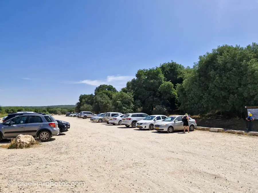
Parking
You will see the parking to your left when driving on road #7924 toward Shimshit.
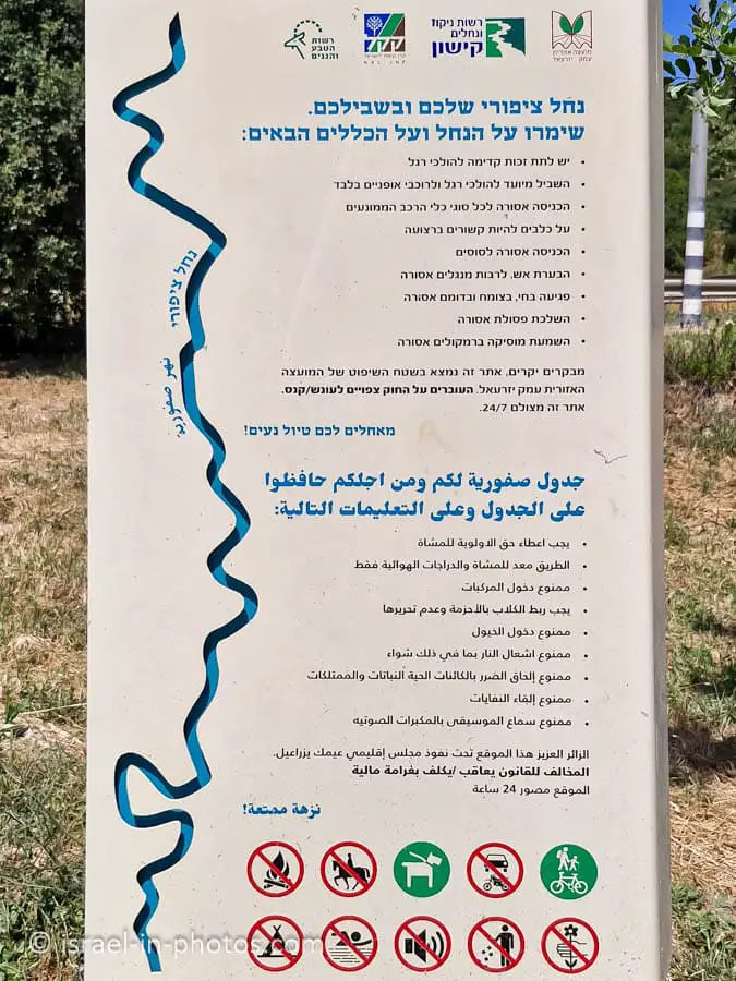
Entrance Fee
Free.
Opening Hours
Staying at Zipori Forest after dark is prohibited. Thus, visit during the day.
Restrooms
None.
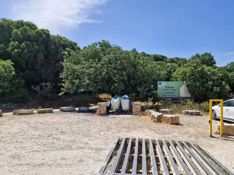
Points of Interest at Shimshit Trail
Bridge over Tzipori River
The parking lot is located near the Tzipori River, and from the parking lot, you can see a bridge over the Tzipori River.
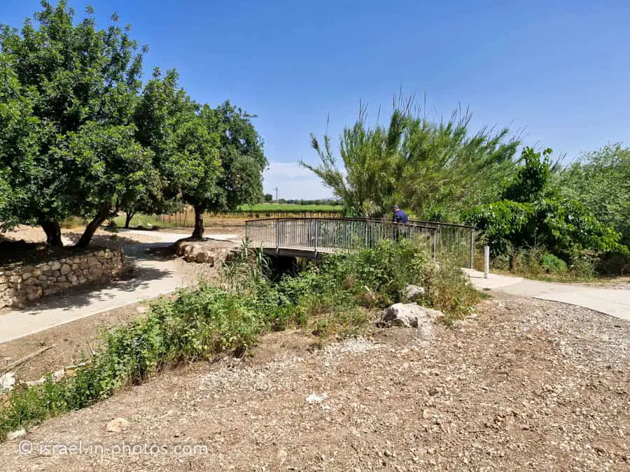
The area between the parking lot and the bridge has trees, grass, and shaded tables, so many people have picnics there.
The trail goes south to the parking lot, and if you visited the bridge, you must return.
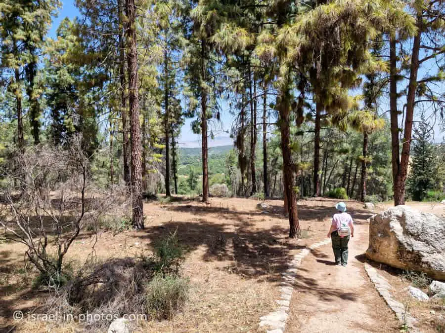
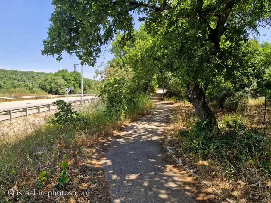
You can hike along the trail in any direction, but if you want to visit the antiquities first, you should go away from road #7924. If you find yourself going along the road, like in the following photo, you are walking in the wrong direction (you will see antiquities in the end).

Roman Road
At the beginning of the trail, you will see two maps (appear above). After about sixty meters, you might notice a narrow plain empty of vegetation. Next to this area, you can see a course of stones. It is a section of an ancient Roman road that passed through the place.

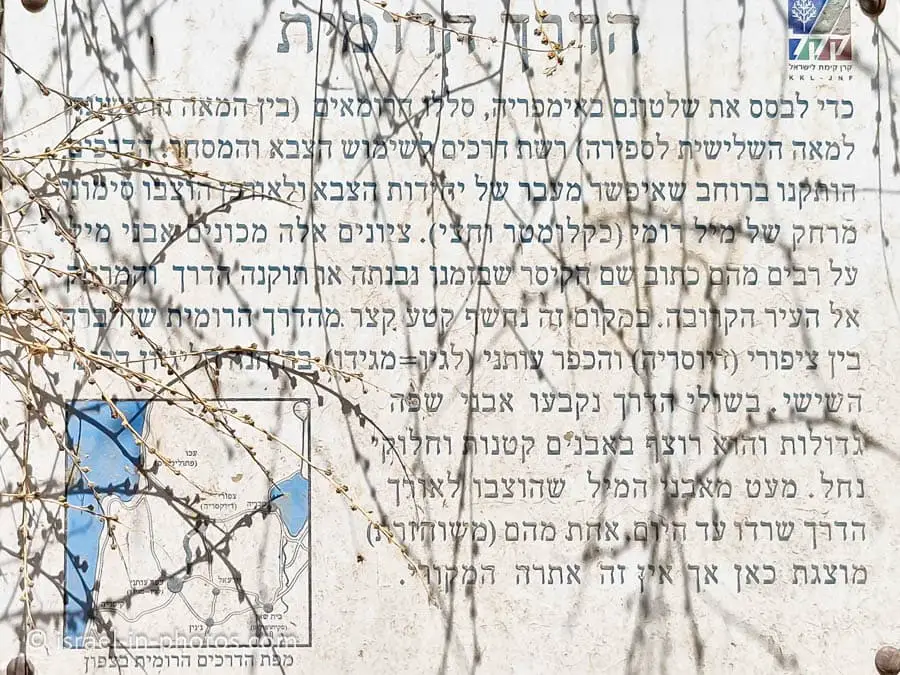
The road left Acre, reached the village of Legio (Megiddo), continued here, and went up to Zippori and then on to Beit She’an and Jerash on the other side of the Jordan. The Roman roads were intended primarily for Roman troops, but also for commerce and the movement of people. The Romans also took advantage of the ways to illustrate the power of their rule. The milestones along the roads were engraved with inscriptions glorifying the emperors in whose time the road was installed or renovated.
Source: KKL
The Viewpoint
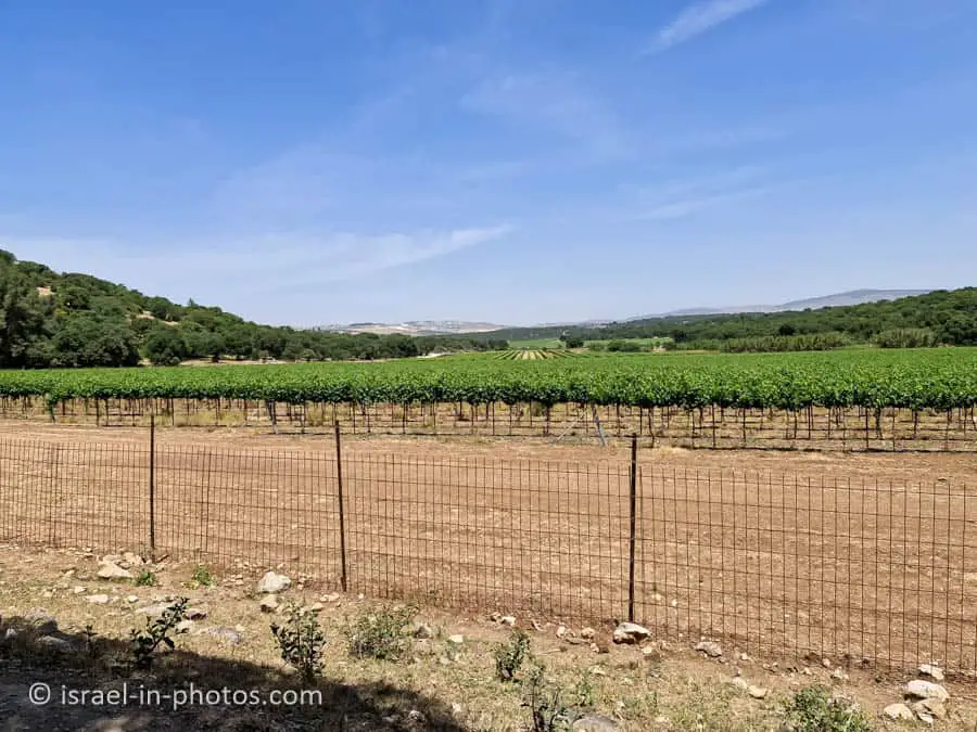
A paved path branches to the left about 300 meters from the starting point, and after about 60 meters, it reaches a point overlooking the valley. In the expansive and fully cultivated valley, the Nahal Zippori flows alongside Route 79. The stream is about 32 km long, begins its journey in the Nazareth Mountains, about 8 km east of here, and flows into Nahal Kishon. Beyond the stream are the forested slopes of the Zippori Forest.
Source: KKL


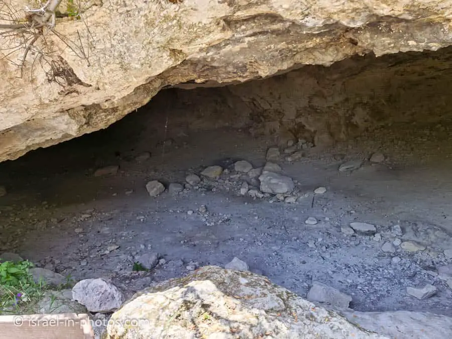
The Cave
From this viewpoint, return to the trail and continue east. After a few minutes, you will reach a cave and a wooden deck that was built in front of its opening. In 2001, in preparation for the development of the trail, the Israel Antiquities Authority conducted salvage excavations at Horbat Shemshit. The excavations indicate that the cave was inhabited from the Iron Age (10th century BCE) until the beginning of the Byzantine period (4th century CE) and from the Mamluk period (15th century) onwards. In nearby places, remains from the Middle Bronze Age II (1550–1750 BCE) were discovered.
Source: KKL


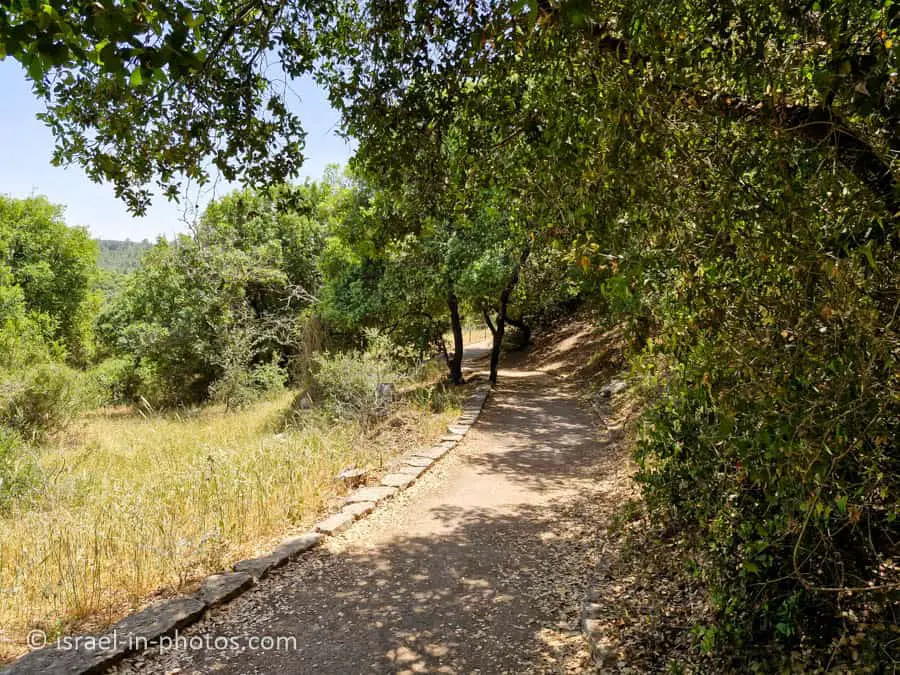
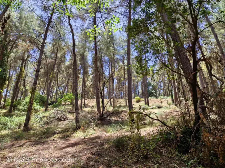
The Winepress
After the cave, the trail enters the KKL-JNF forest mixed with Alon Tavor trees. The shade of the trees and the path winding between them create a magical atmosphere. After a short distance, the trail reaches the remains of a large winepress carved into the rock. A winepress is an installation where grapes were stepped on in order to extract Tirosh from them. From there, the liquid would go to fermentation in the winery before it was turned into wine. You can clearly see the grape stomping floor and the “funnel” through which the Tirosh flowed into a rock-hewn pit, where jars were filled.
Source: KKL


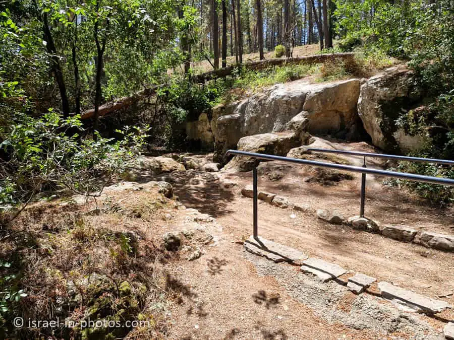
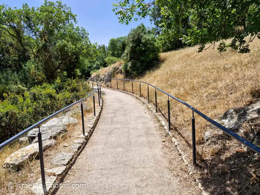
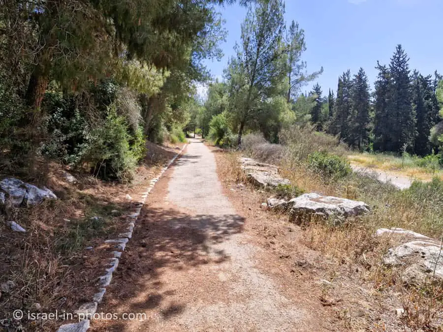
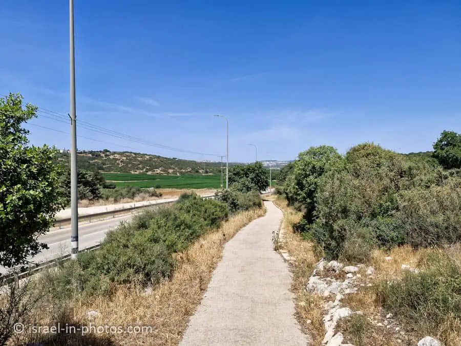
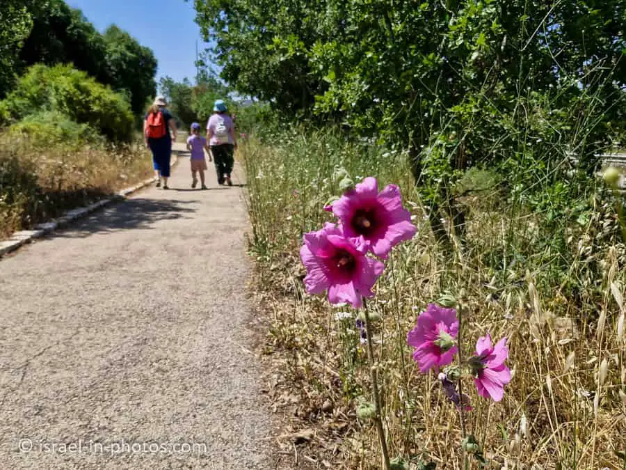
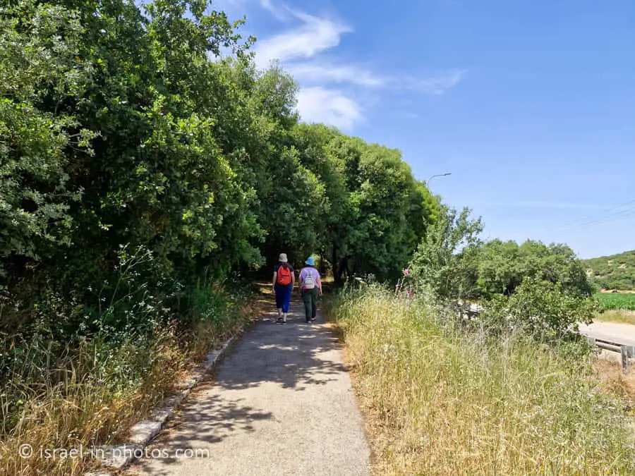
After the winepress, you have two options. If you return to the parking lot using the same path or the nearby dirt road, then you will complete the Short Shimshit Trail. And in case you continue along the paved path to Shimshit, then you will hike the Shimshit loop trail.
We chose the latter option, and here are several photos from the rest of the trail:

Summary
There are not many fully accessible trails in Israel, and this is a four-kilometer paved trail. Another plus of the Shimshit trail is that big parts of it are shaded. Nonetheless, we hiked on a hot day, and despite the shade, it was still hot, especially when we walked uphill toward Shimshit.
The downside of this trail is that it has few attractions. If you want to see antiquities, I suggest Tzipori National Park (see interactive map above for additional attractions).
Have you visited the Shimshit trail? Tell us about your experience in the comments below.
That’s all for today, and I’ll see you on future travels!
Stay Tuned!
Additional Resources
Here are several resources that I created to help travelers:- Trip Planner with Attractions and Itineraries is the page that will help you create your perfect travel route.
- What is the Best Time to visit Israel? To answer this question, we will consider the weather, prices, holidays, festivals, and more.
- Information and Tips for Tourists to Israel will answer the most common questions tourists have about Israel (including safety, passports, weather, currency, tipping, electricity, and much more).
- Israel National Parks and Nature Reserves include a complete list, top ten, map, tickets (Israel Pass, Matmon, combo), and campsites.
- If you are looking for things to do, here are the pages for Jerusalem, Tel Aviv, Haifa, Sea Of Galilee, Akko (Acre), Eilat, Nazareth, Safed (Tzfat), and Makhtesh Ramon.