Metula, Israeli`s Northernmost Town – Visitors Guide
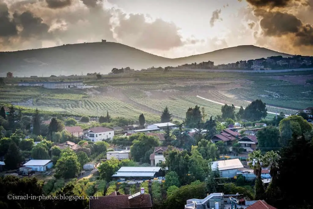
Metula is Israel’s northernmost town. It is right next to the border with Lebanon. And on a clear day, you can see Lebanon and Syria.
We selected Metula as our base during our last North trip and stayed at the Alaska Inn hotel. And in this post, I will show some of the photos I took during a hike in the city and pictures from a viewpoint.
Map
On the following interactive map, you can see not only Metula but surrounding attractions that we visited during our trip.
Directions for drivers: Link to Waze and Link to Google Maps
Directions for public transport: Link to Moovit
Interactive map of the area:
Walking on Ha-Rishonim Street
Metula was founded in 1896 by Baron Edmond de Rothschild. It was a semi-cooperative agricultural community.
The original stone houses still line Ha-Rishonim street in downtown Metula. Here is, for example, The Peasant House.
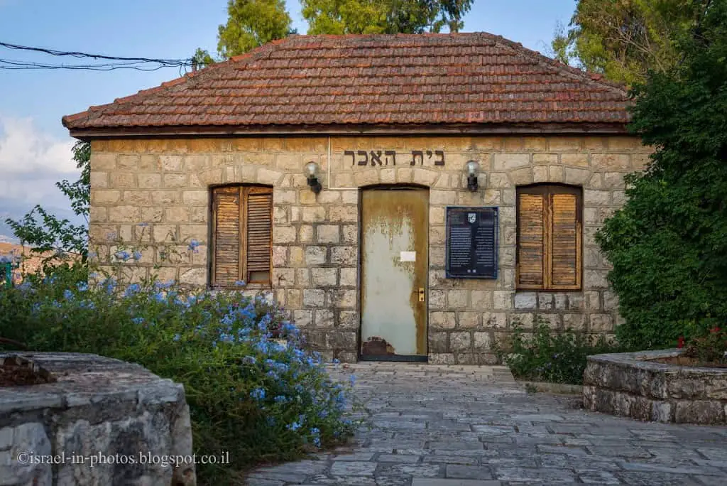
Since we saw the peasant house, let’s go over the attractions in Metula.
Attractions in Metula
- The Peasant House Museum – The Peasant House in Metula is a house from 1896. In the museum rooms, there are items collected from the elders of the colony since then that illustrate their life. In the yard, you can find agricultural and labor tools used during the period.
- Canada Center is a recreation center with pools and ice skating.
- Dado Observation Point at Mount Tsfiya provides stunning views of Galilee, Golan, and Lebanon.
- Walking on Ha-Rishonim Street
- There are many national parks and nature reserves in this area. You can see them on the interactive map above, and the closest is Ayun Stream Nature Reserve.
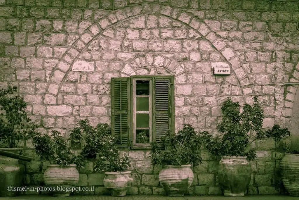
And this is The Council House:
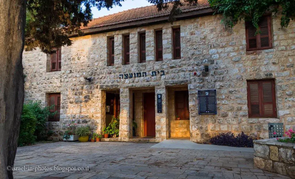
Overall, they resemble buildings in other cities founded by Baron Edmond de Rothschild. For example, Zichron Yaacov and Rosh Pina.

Several additional photos:
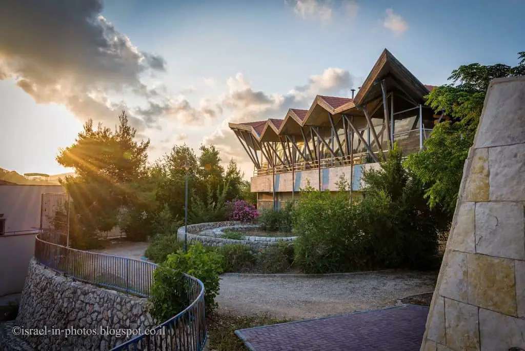
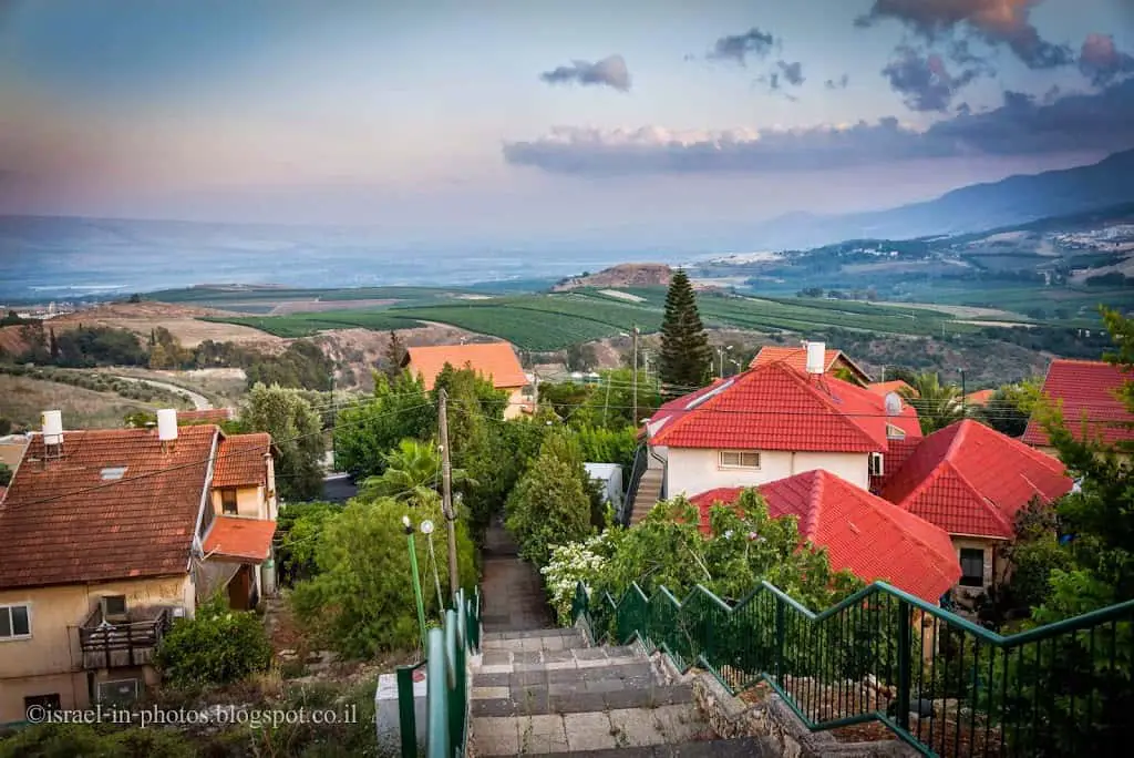
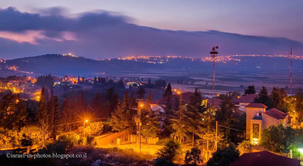
View to the south, towards Kiryat Shmona:
I also wanted to mention there are several good restaurants in Metula. Thus, if you are hungry, you do not have to drive.
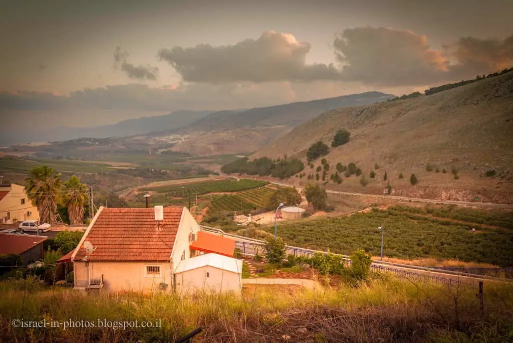
Viewpoint
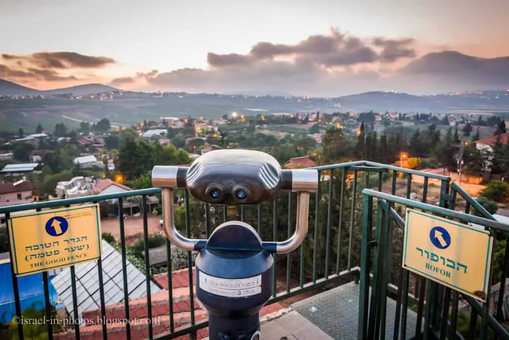
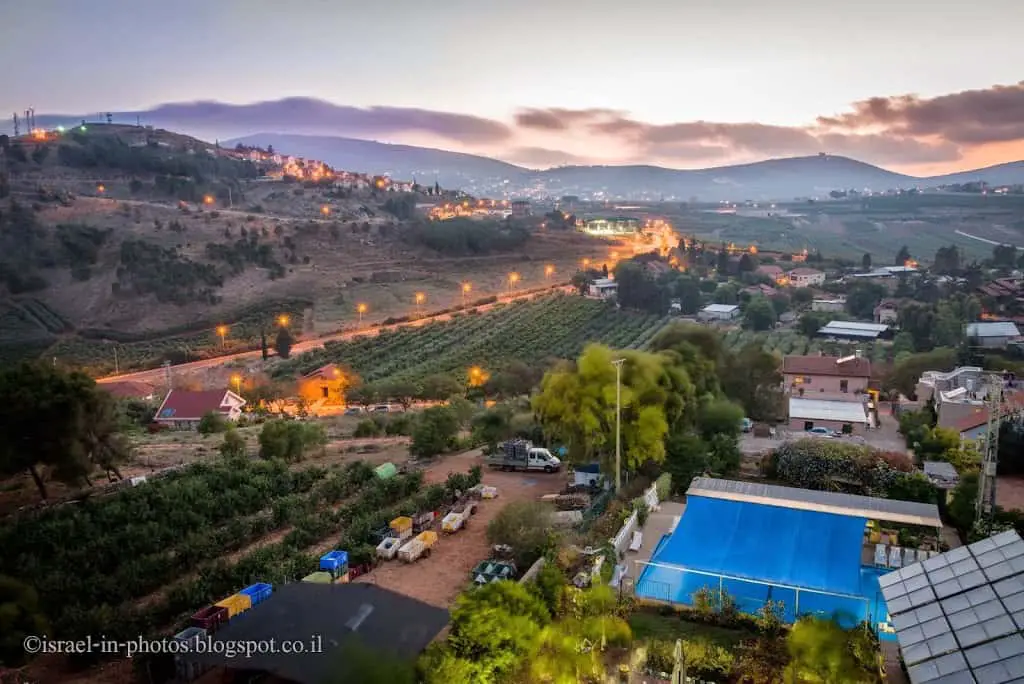
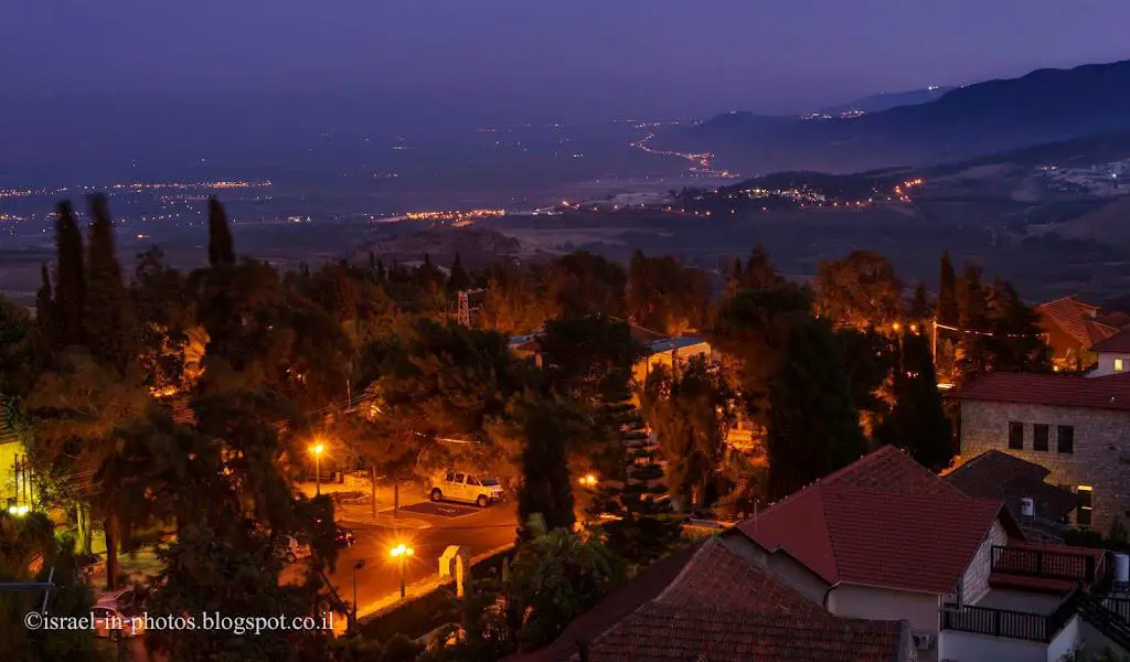
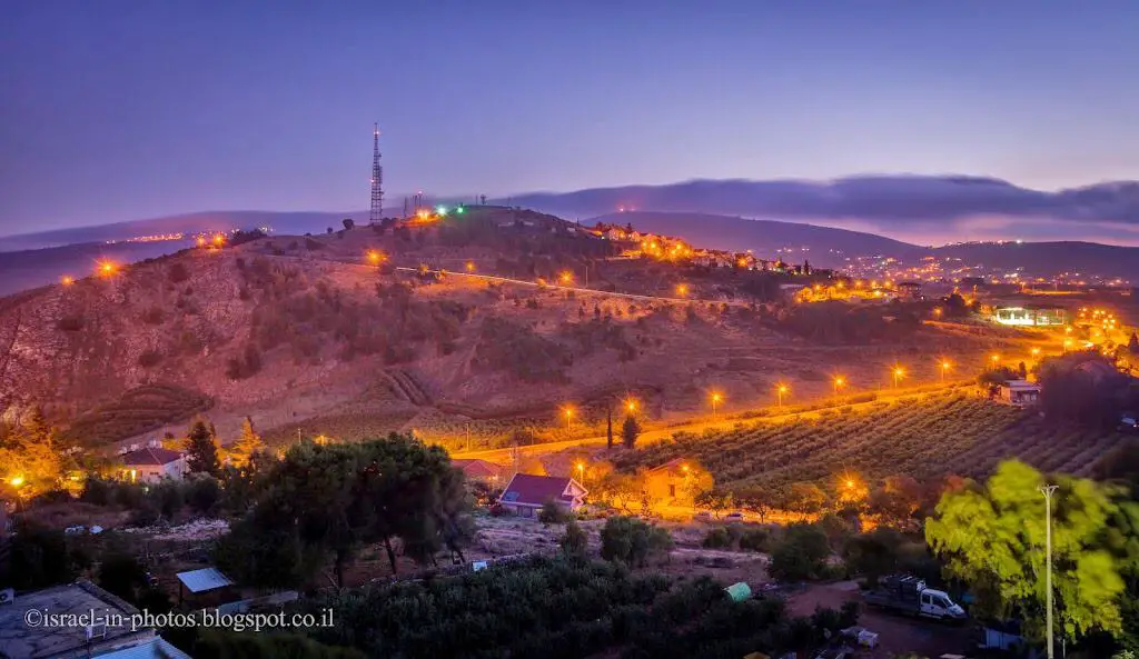
On top of the Alaska Inn hotel, there is a viewpoint. And I took all the following photos from there.
Here you can see the border:
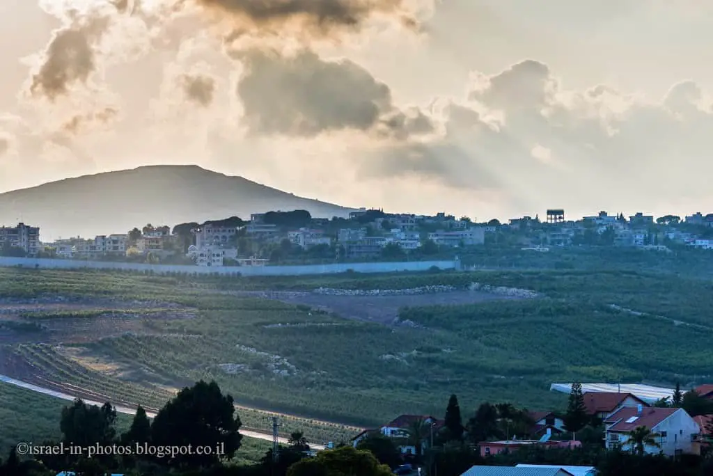
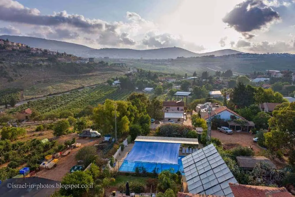
As you can see, many locals work in agriculture. But today, tourism is responsible for most cities’ incomes.
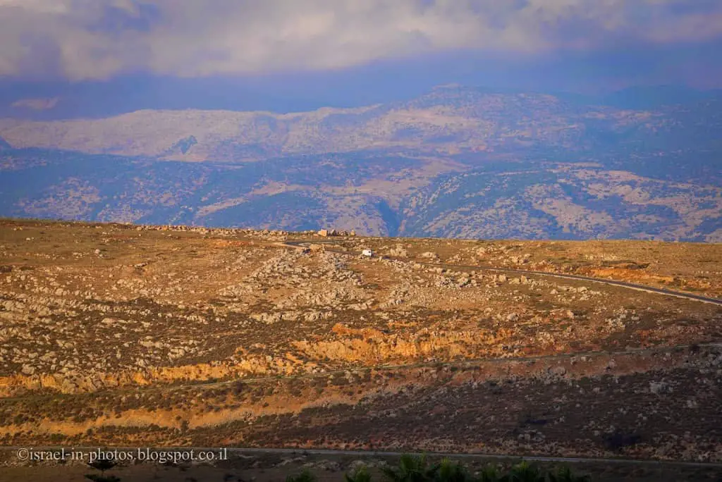
A car driving in Lebanon:
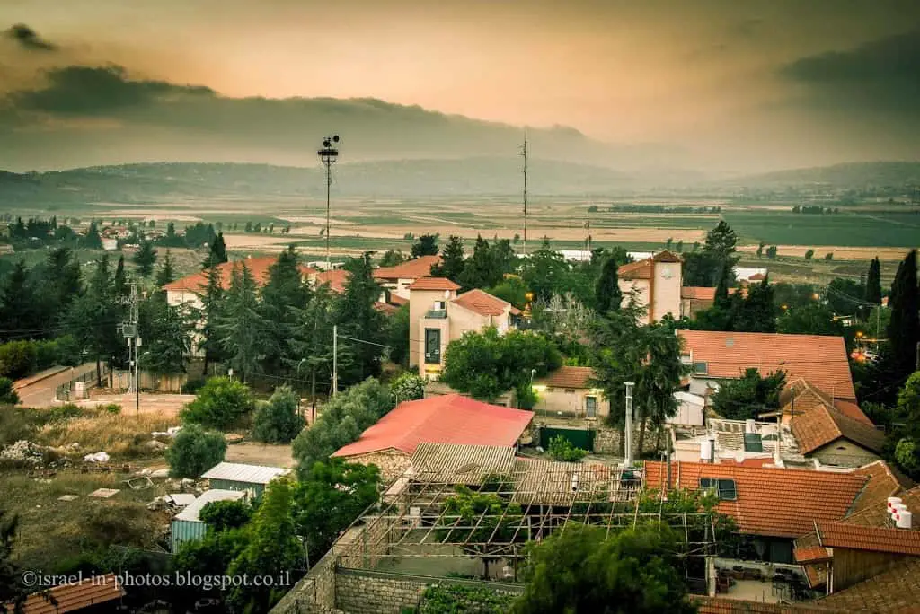
Unfortunately, since this city is close to the border, there were many terrorist acts in this area. Thus, as you can see, there are sirens. Also, I have noticed that most people have dogs.
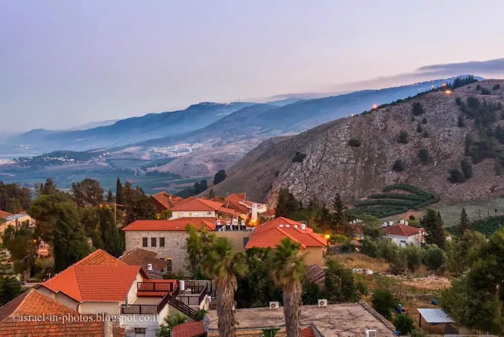
From the viewpoint:
That’s all for today, and I’ll see you in future travels!
Stay Tuned!
Additional Resources
Here are several resources that I created to help travelers:- Trip Planner with Attractions and Itineraries is the page that will help you create your perfect travel route.
- What is the Best Time to visit Israel? To answer this question, we will consider the weather, prices, holidays, festivals, and more.
- Information and Tips for Tourists to Israel will answer the most common questions tourists have about Israel (including safety, passports, weather, currency, tipping, electricity, and much more).
- Israel National Parks and Nature Reserves include a complete list, top ten, map, tickets (Israel Pass, Matmon, combo), and campsites.
- If you are looking for things to do, here are the pages for Jerusalem, Tel Aviv, Haifa, Sea Of Galilee, Akko (Acre), Eilat, Nazareth, Safed (Tzfat), and Makhtesh Ramon.





Beautiful place! I would love to visit one day!