Finger Cave – Short Loop Track at Carmel Mountain
There are many trails on Mount Carmel, and Finger Cave is a lovely loop and short trail that leads you to a stunning cave.
Table of Contents
Map
Finger Cave Trail starts at the Nahal Oren parking near Oren junction. It is located several kilometers from the intersection of roads #721 and #4. And the easiest way to get there is to enter “Finger Cave” to Waze.
Directions for drivers: Link to Waze and Link to Google Maps
Directions for public transport: Link to Moovit
Interactive map of the area:
Tracks
Here is an interactive map from israelhiking.osm.org.il where the two most popular trails are marked:
And here are the details of those tracks:
| # | Name | Color of the Trail on the Map above | Description | Distance (km) | Total climb and descent (meters) | Notes |
| 1 | The most popular hike | Blue | Circular trail | 2.4 | 286 | This hike takes 2 – 4 hours. |
| 2 | To the Finger Cave and back | Red | Follow the same trail in both directions | 0.7 | 112 | Use the black trail. |
Opening Hours
The trail goes in open nature. Thus you can do it anytime. But because there is no artificial illumination, hike only during the daylight.
Entrance Fee
Free. But on Saturday, parking per car costs 36 NIS.
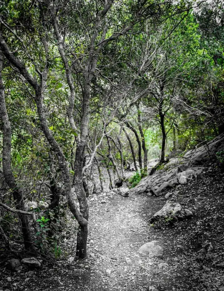
The Hike
We started at Nahal Oren parking and continued with the black route. At some point, we switched to the Israeli National Trail.
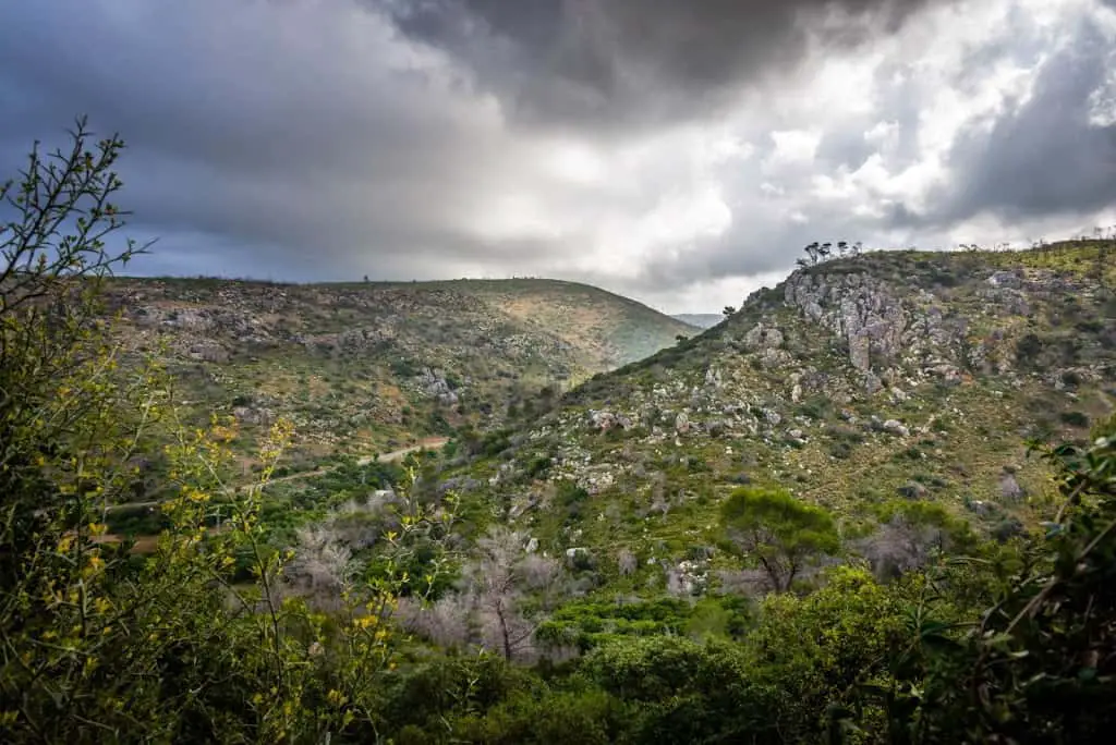

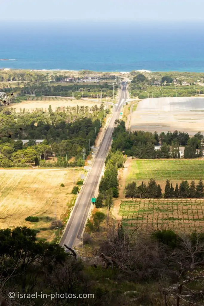
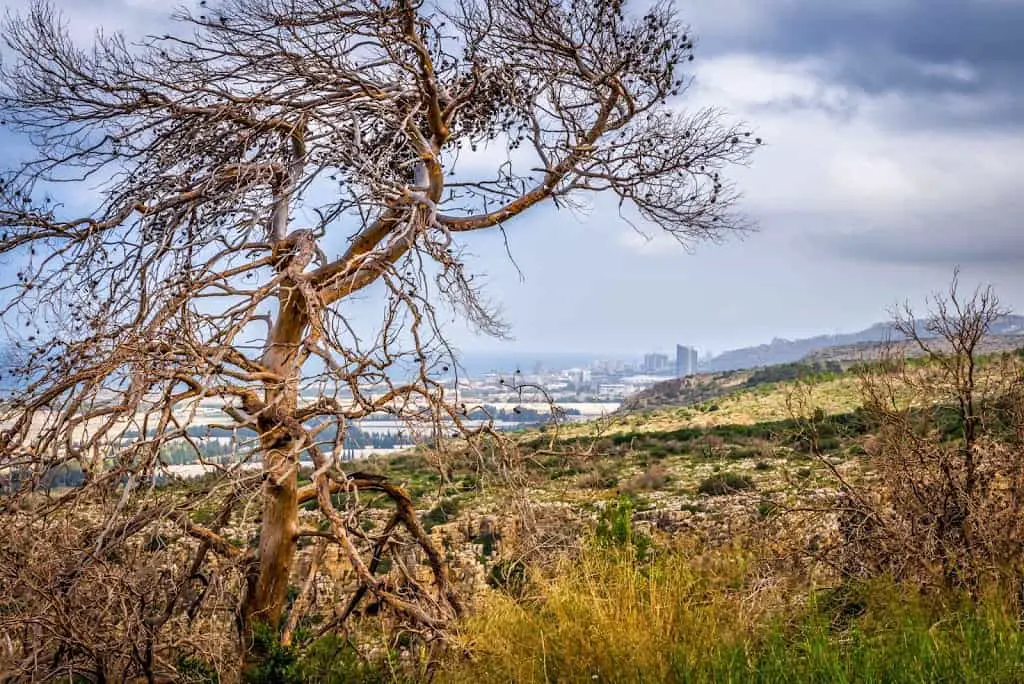
View towards Haifa (to the North):
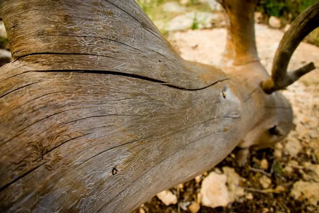
This tree stump looks like some artwork was made on it. Not sure if it is human-made or created by some insects:
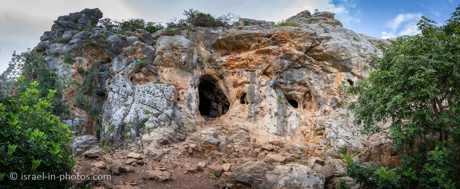
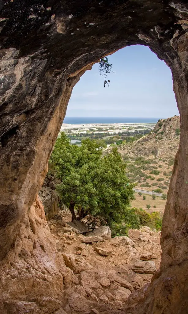
Finger Cave got its name from the shape of its opening, which looks like a giant thumb.

The cave is quite big and wide. You can walk in it standing upright.
View from the inside of the Finger Cave:
Summary
Overall, this is an excellent and relatively short hike. But, if you are out of shape, some climbs can be a little hard. The difficulty level of this route is defined as a medium.
As for most trails in Israel, I recommend hiking while it is not too hot (early mornings) and not after rain.
Stay Tuned!
For additional attractions nearby, check Haifa.
Additional Resources
Here are several resources that I created to help travelers:- Trip Planner with Attractions and Itineraries is the page that will help you create your perfect travel route.
- What is the Best Time to visit Israel? To answer this question, we will consider the weather, prices, holidays, festivals, and more.
- Information and Tips for Tourists to Israel will answer the most common questions tourists have about Israel (including safety, passports, weather, currency, tipping, electricity, and much more).
- Israel National Parks and Nature Reserves include a complete list, top ten, map, tickets (Israel Pass, Matmon, combo), and campsites.
- If you are looking for things to do, here are the pages for Jerusalem, Tel Aviv, Haifa, Sea Of Galilee, Akko (Acre), Eilat, Nazareth, Safed (Tzfat), and Makhtesh Ramon.