Ateret Fortress (Metzad Ateret) – Visitor Guide

Ateret Fortress is a Crusader ruin overlooking the Jordan River near Kibbutz Gadot and the historic Jacob’s Ford crossing in northern Israel.
Although only parts of the fortress remain, the site combines medieval history, archaeological remains, and views of the Jordan River and the surrounding landscape. This relatively small historical site pairs well with nearby attractions (see the map below).
In this post, I will cover the history of Ateret Fortress, explain how to get there, and share practical information for planning a visit.
Map
Ateret Fortress sits on the western bank of the Jordan River, about 2 km from Kibbutz Gadot in the Upper Galilee.
The fortress occupies a strategic position overlooking the river crossing near Bnot Ya’akov Bridge. Historically, this crossing connected the Galilee and Tiberias area with the route toward Damascus.
The final approach is via a dirt road near Highway 91, east of Mahanaim Junction and close to Bnot Ya’akov Bridge.
Directions for drivers: Link to Waze and Link to Google Maps
Directions for public transport: Link to Moovit
Interactive map of the area:
Opening Hours
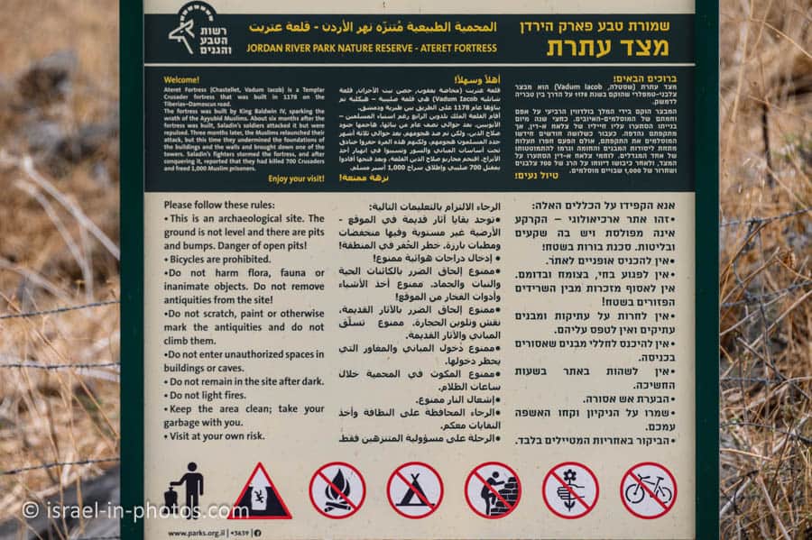
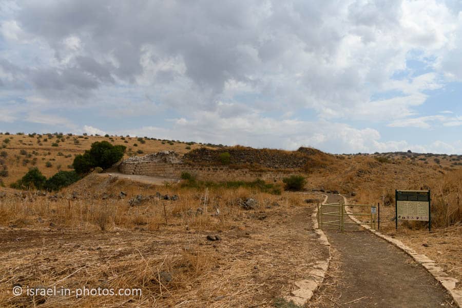
Ateret Fortress is an outdoor archaeological site, not a staffed attraction with a ticket office or a standard visitor schedule. Hence, you can visit at any time. However, as the sign on site says, visiting the site after dark is prohibited.
Entrance Fee
Free.
Parking
A large free dirt parking lot is available.
The Black Trail
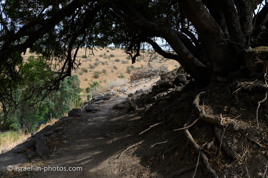
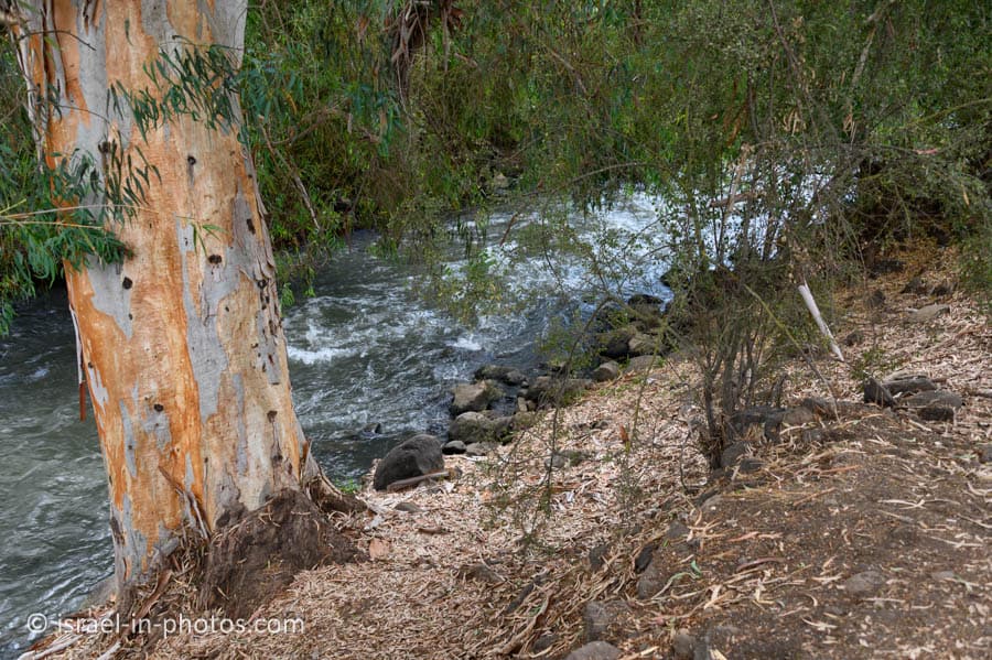
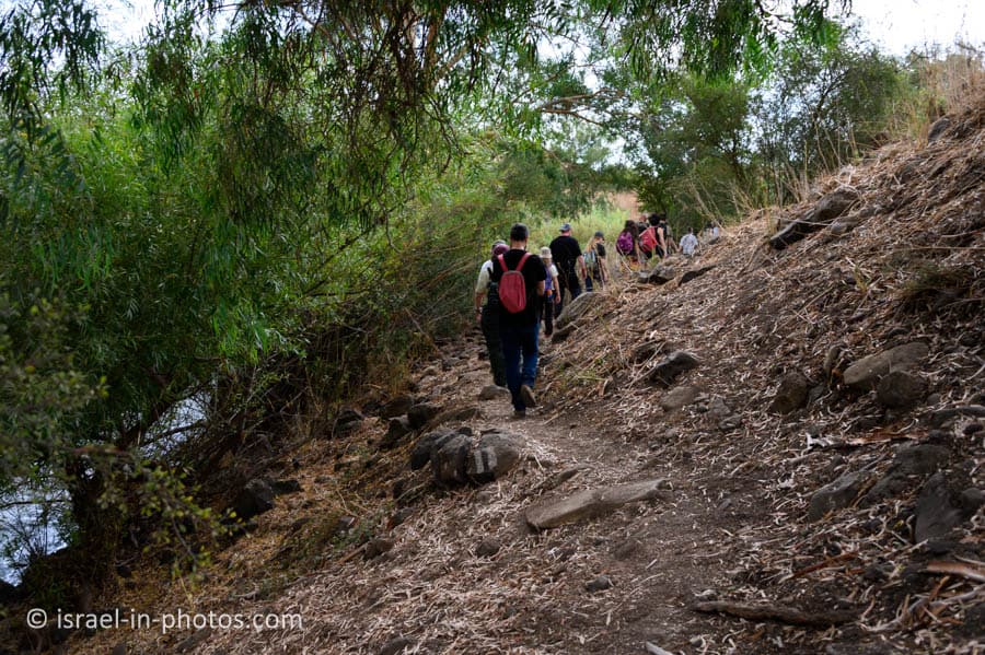
We visited Ateret Fortress as part of a two-day trip with The Society for the Protection of Nature in Israel. Our guide did not lead us to the fortress. Instead, we went downhill toward the Jordan River.
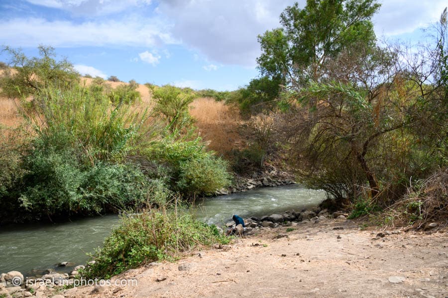
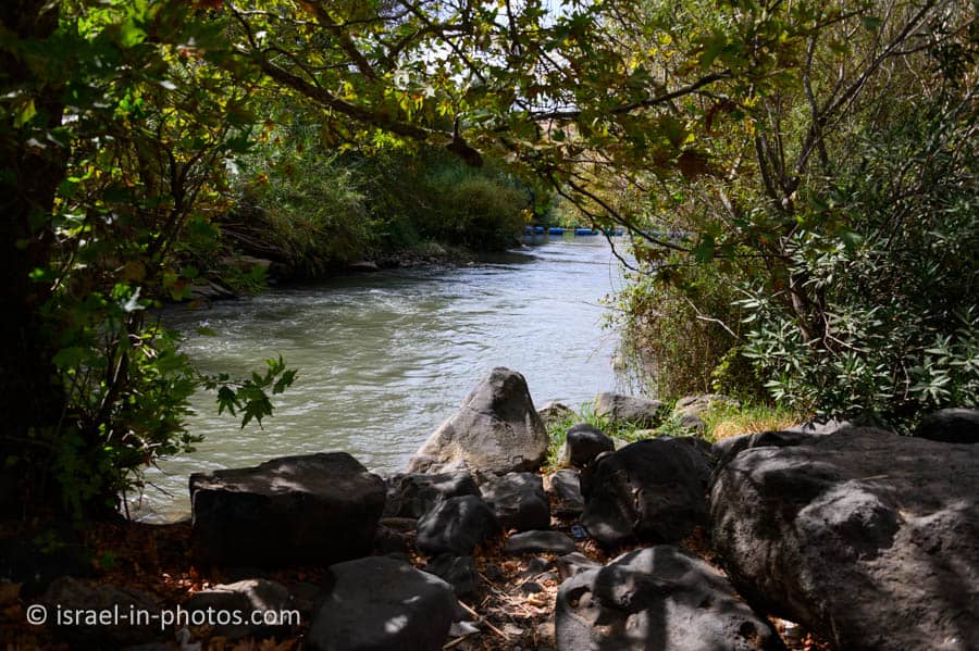
Here are photos from this section:
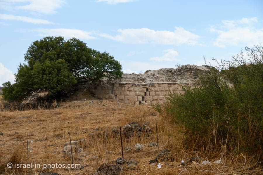
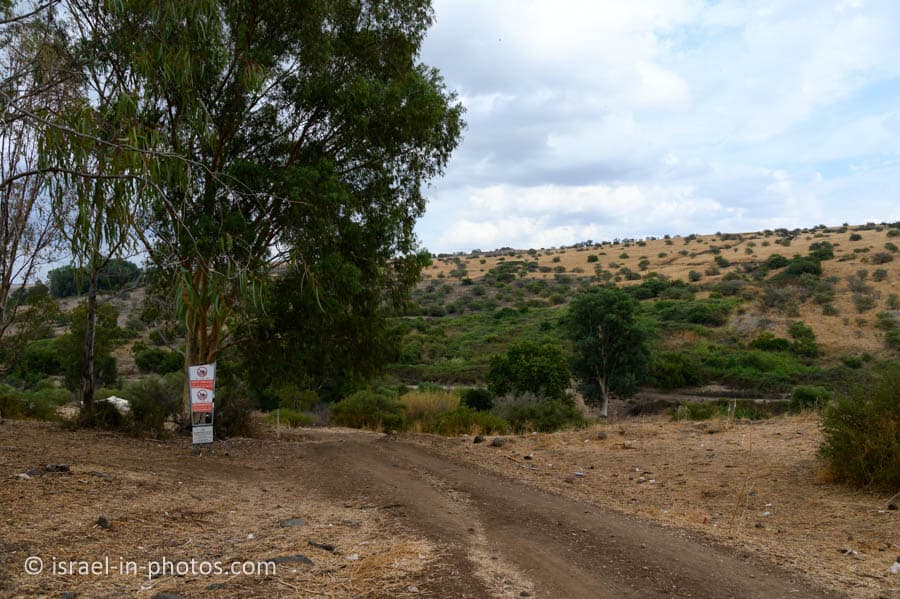
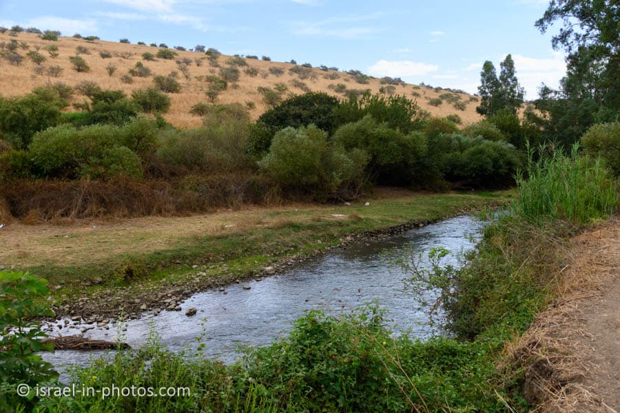
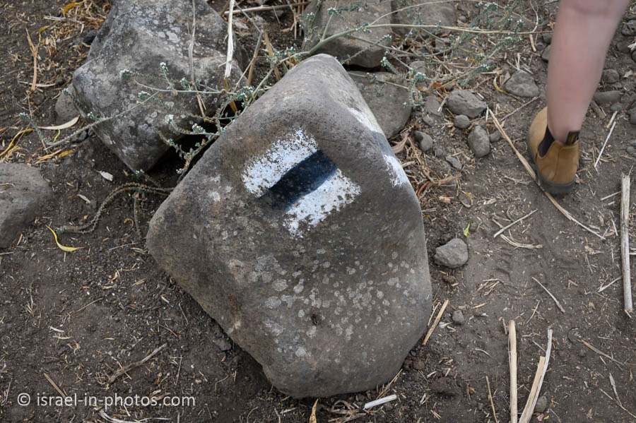
Notes:
- As you can see in the photos, a sign at the beginning of the trail stated that entry into the water is prohibited. This is because the flow is quite strong upstream. Moreover, last summer, when we rafted on the Jordan River, we rafted in this section. Toward the end of the trail, you will see the end of the rafting zone and the remains, as shown in the last photo. Our guide said that if we wanted to get into the water, this is the place to do it.
- The route along the river is easy, but it starts as a dirt road and later becomes paved. So do not visit after rain.
- Completing the black trail along the river took about 40 minutes. This also includes several stops with explanations.
At Ateret Fortress
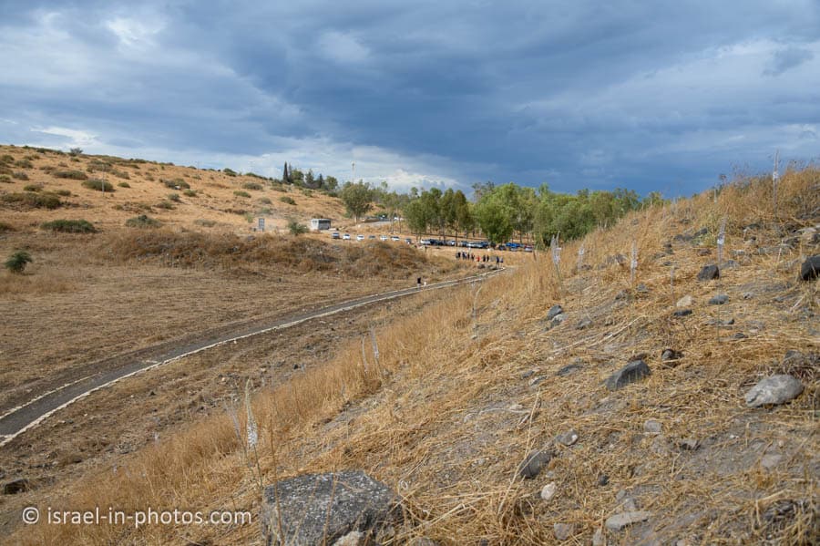
Then we climbed uphill, and this is the view from the fortress.
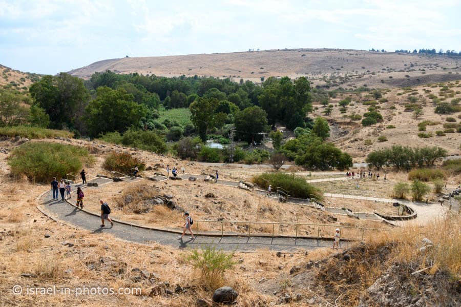
You can see the access road, and farther ahead is the river area where you can enter the water.
Short History of Ateret Fortress
Ateret Fortress (Chastellet, Vadum lacob) is a Templar Crusader fortress that was built in 1178 on the Tiberias – Damascus road.
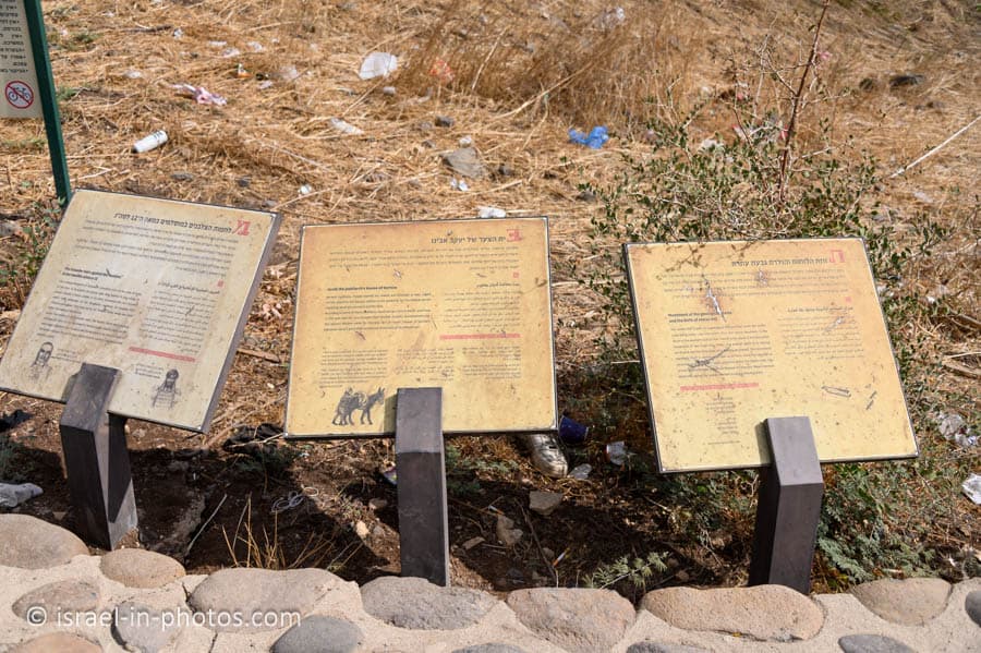
The fortress was built by King Baldwin IV, sparking the wrath of the Ayyubid Muslims. About six months after the fortress was built, Saladin’s soldiers attacked it but were repulsed. Three months later, the Muslims relaunched their attack, but this time they undermined the foundations of the buildings and the walls and brought down one of the towers. Saladin’s fighters stormed the fortress, and after conquering it, reported that they had killed 700 Crusaders and freed 1,000 Muslim prisoners.
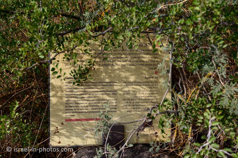
Source: sign
Earthquakes
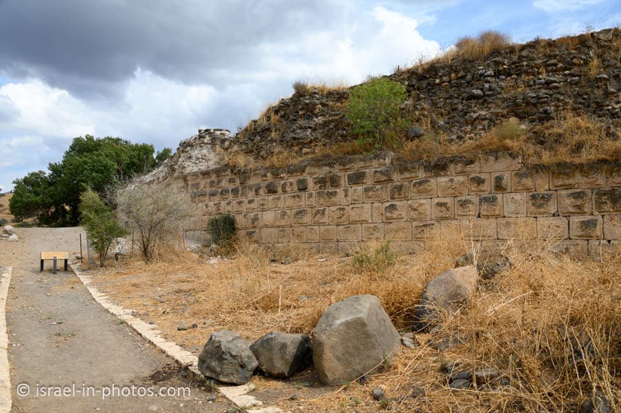
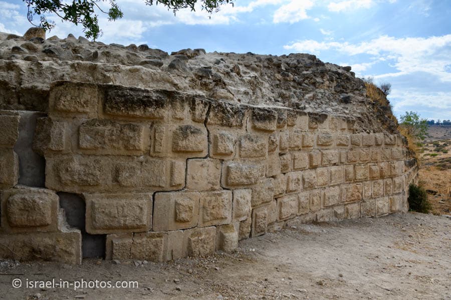
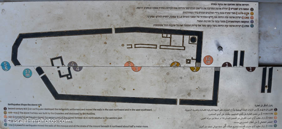
This area has had many earthquakes, and you can see the walls shifting. There is a photo of a wall with cracks (filled with cement), and some walls even moved several meters.
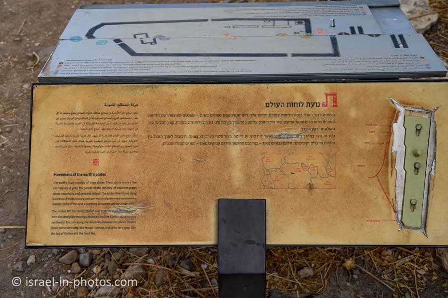
The earth’s crust consists of huge plates. These plates move a few centimeters a year; the power of the meeting of adjacent plates raises mountains and deepens valleys. The Jordan River flows along a portion of the boundary between the Sinai plate in the west and the Arabian plate in the east, a segment geologists call the Jordan Rift.
The Jordan Rift has been created over the period of many years, with the Sinai plate moving southward and the Arabian plate moving northward. Friction along the boundary between the plates creates folds, some very lofty, like Mount Hermon, and others very deep, like the Sea of Galilee and the Dead Sea.
Source: sign
Here are several photos: